

Nördlicher Klammerschober (2448 m) through Mölstal
Technical difficulty: 1/10
Fitness: 4/10
Objective danger: 1/10
Landscape: 5/10
Busy: 4/10
Beautiful tour with a longer, flat valley ascent. Great option for bad conditions day, when steeper tours might be too dangerous.
Starting point: Parkplatz Walchen
Ending point: Parkplatz Walchen
Ascend: 1100vm / 4h
Exposition: North
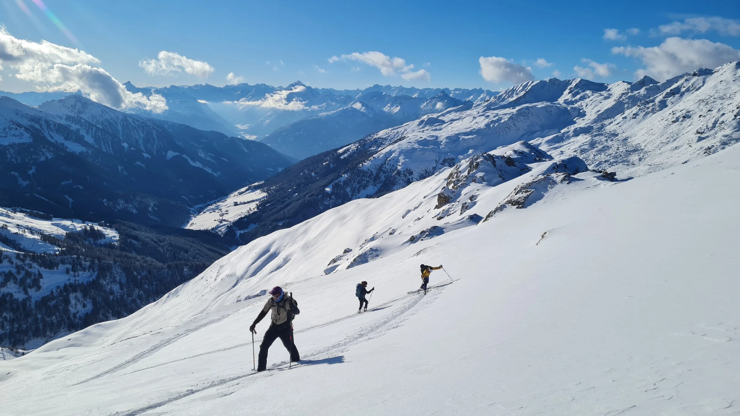
The ski tour to the Northern Klammer Schober from the Wattental offers a scenic and varied route through forest, open alpine terrain, and sunny summit slopes. The tour is especially attractive in late winter, as its mostly north-facing approach often remains skiable when south- and west-facing slopes are already snow-free.
Route:
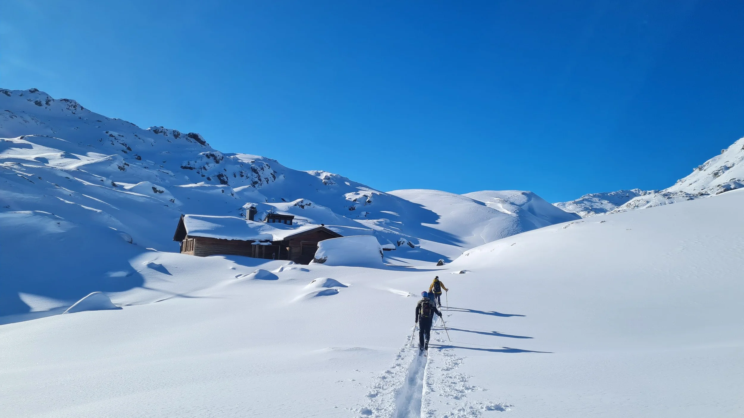
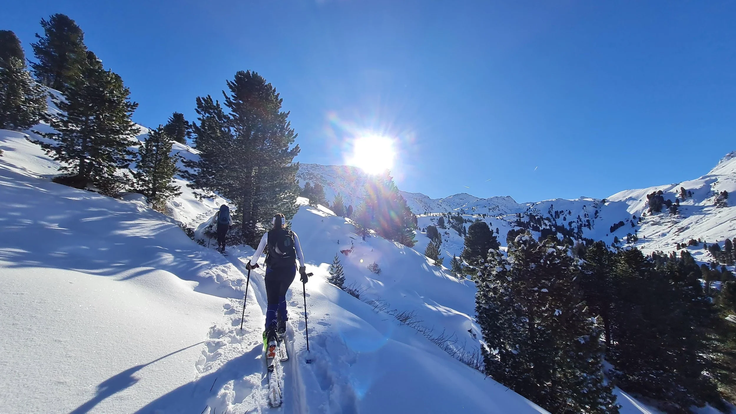
The tour starts at the parking lot in front of Lager Walchen. From there, the Lizum road is followed briefly. After the military buildings, the route turns right toward Mölser Hochleger. The road, which serves as a sled track in winter, is followed past the huts of Mölser Niederleger.
At the first switchback after the huts, the route continues straight onto a forest road, leaving the Mölstal road. This forest road climbs gently, sometimes almost flat, through a scenic stone pine forest. On sunny days, reflected light from the opposite slopes makes this shaded section noticeably brighter.
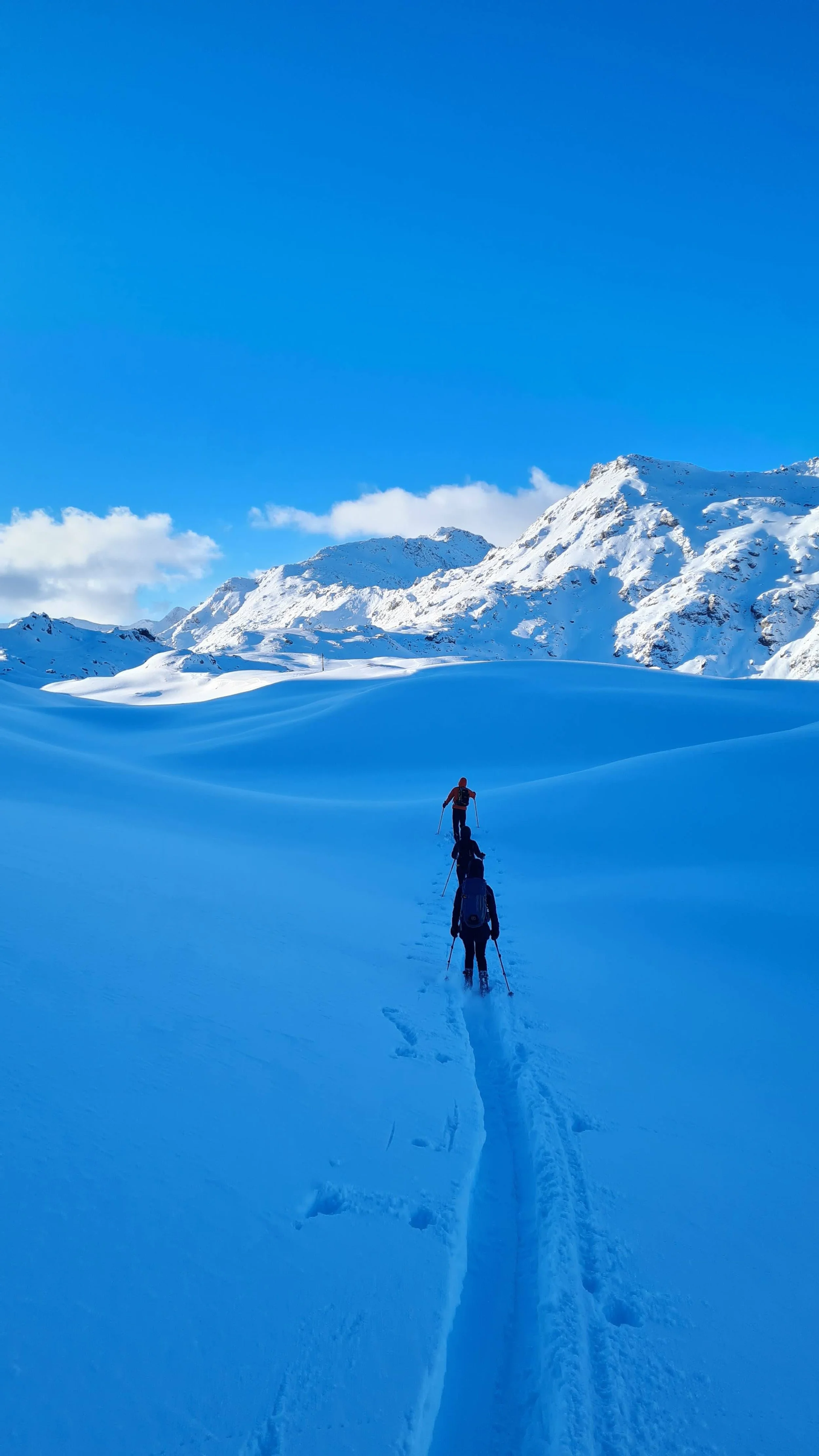
After a while, the Mölstal road is rejoined shortly before Mölser Hochleger, located near the tree line. The route continues along the road in mostly gentle terrain. A narrow stream channel is followed briefly, which later serves as part of the descent. Shortly afterward, the road winds around a terrain rib before the ascent leaves the road and climbs a steeper gully to the Roßboden plateau. Near a wooden hut belonging to the military training area, the route meets the road again.
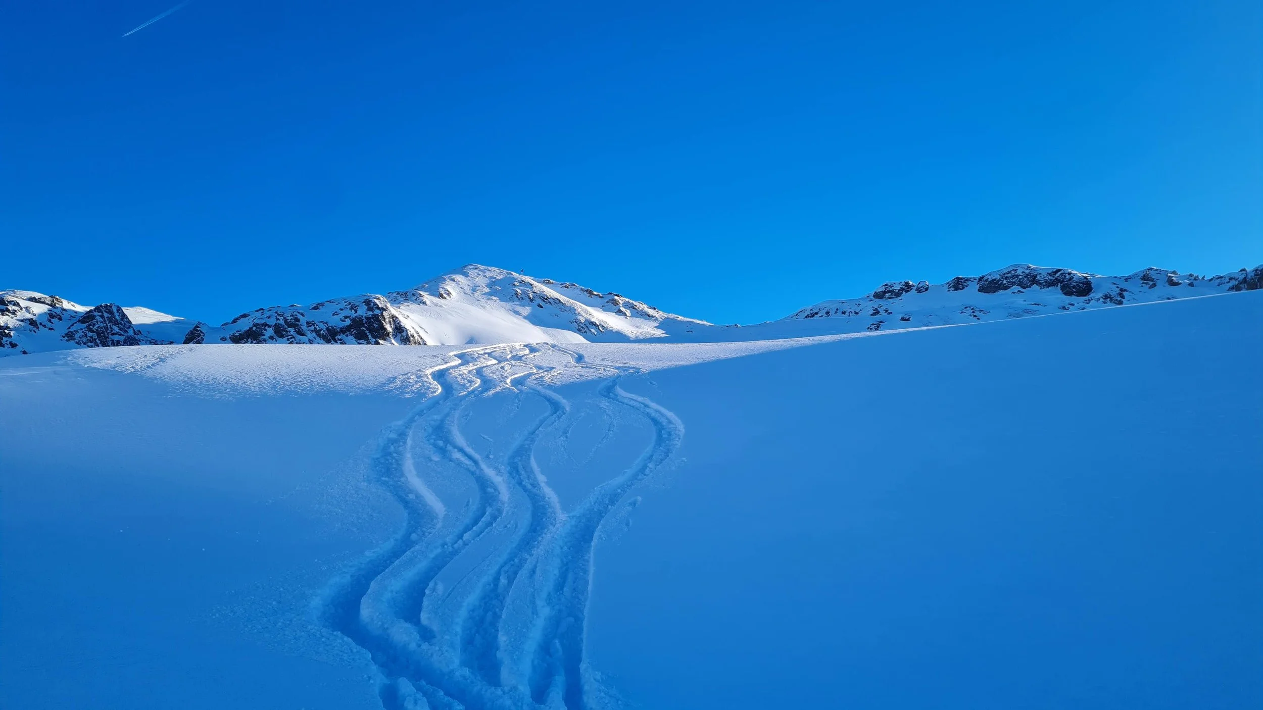
The Roßboden (approx. 2,200 m) offers a wide, open plateau with an impressive panorama of the surrounding peaks. While the summit of the Northern Klammer Schober is not yet visible, the view includes the ridge toward the Navis Valley, an unnamed peak near the Mölsjoch, the Naviser Sonnenspitze, the Seekarspitze, the Sunntiger, and the Malgrübler.
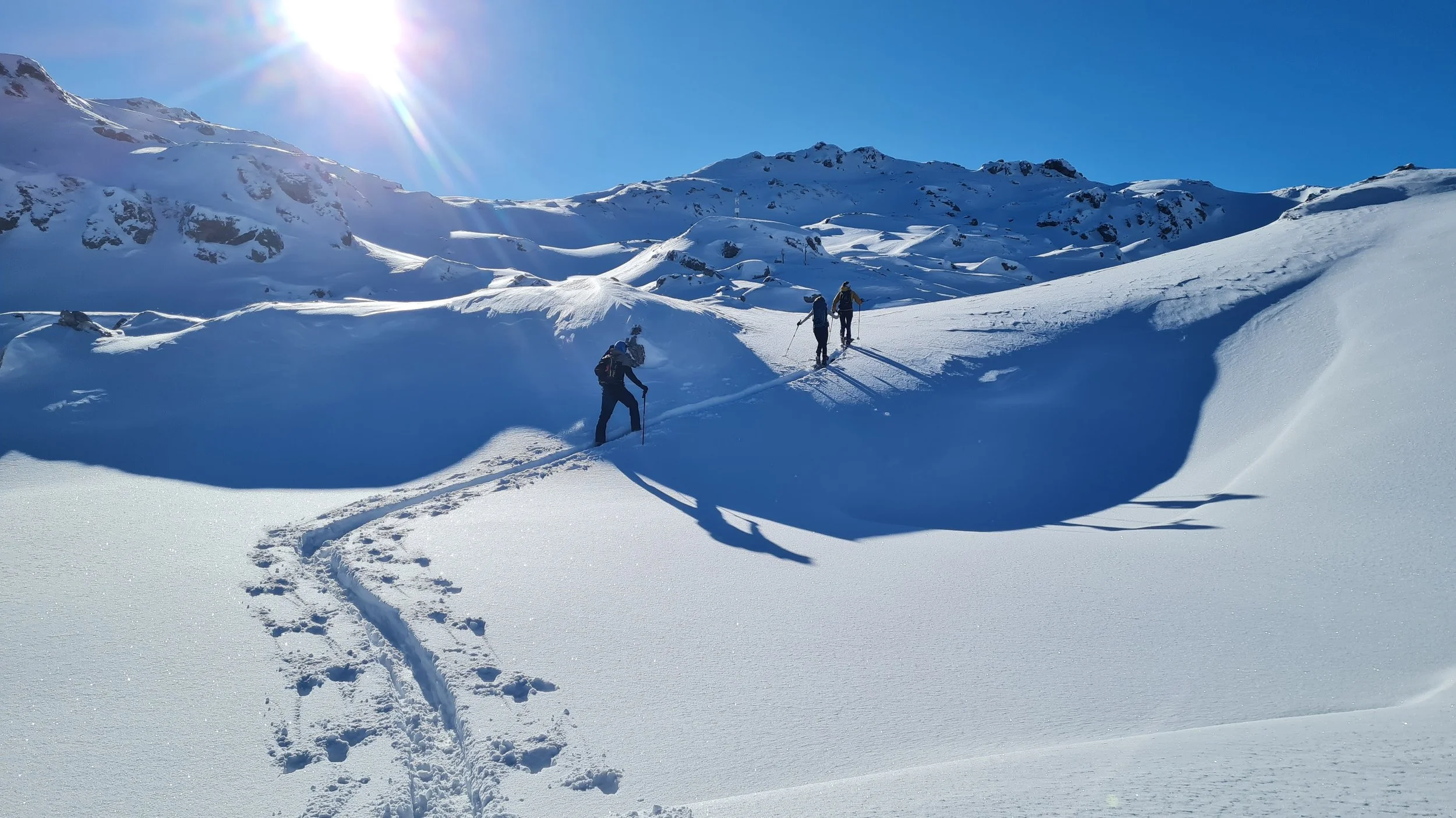
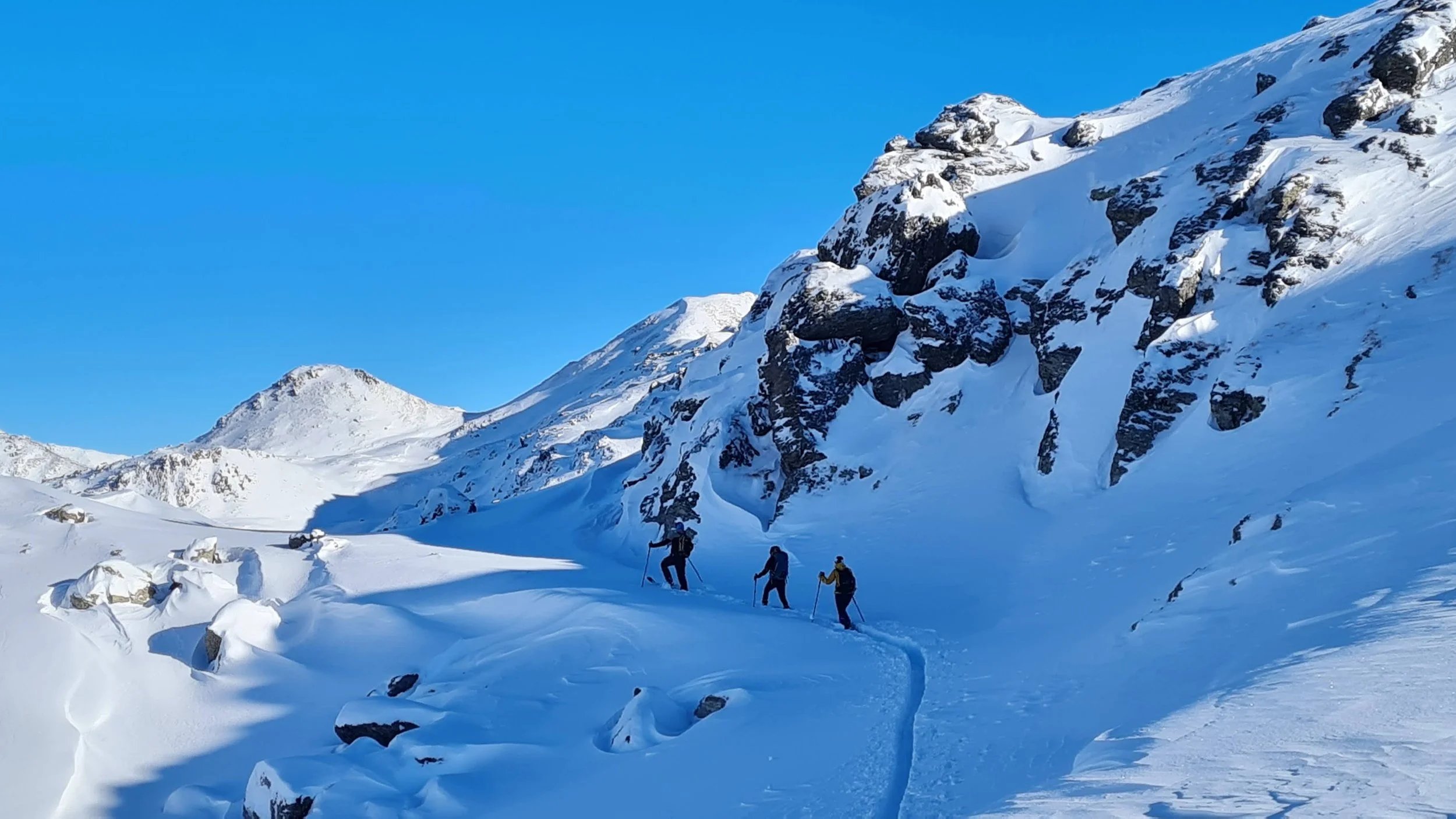
From Roßboden, the ascent continues in a wide left-hand arc toward the saddle below the Northern Klammer Schober. Although maps indicate steeper terrain in this section, the exposed parts are short and mostly rocky, with little snow accumulation. Crossings are made on relatively flat terrain, and with stable snow conditions the avalanche risk is generally manageable.
After passing a small notch, the route switches to the south side, where the final ascent to the summit is usually done in sunshine.
The Northern Klammer Schober offers an outstanding panoramic view and is centrally located within the Tux Alps. Visible peaks include the Lizumer Reckner (the highest peak of the range), the Naviser Reckner, the wide Navis Valley, the Rosenjoch group with the Grünbergspitze, and the ridge separating the Voldertal and Wattental.
The summit is well suited for a longer break in good weather. A combination with the nearby Mölser Sonnenspitze is possible, as the two summits are separated by only a small elevation difference along a sunny ridge.
Descent:
Pick the descent depending on the snow conditions. In really bad avalanche danger, barely skiable descent angles are possible (GPS offers one such option). Eventually, join back to the forest road and return on the ascend route back to the parking lot.
Photos by @the.running.nomad, @bennibru, @isale04 and @sontschi2604