

Rappenspitze (2223 m) and Lunstkopf (2142 m) from Pertisau
Technical difficulty: 6/10
Fitness: 6/10
Objective danger: 5/10
Landscape: 7/10
Busy: 3/10
An engaging loop in the eastern part of the Karwendel mountains. Like its larger siblings to the west, this tour begins and ends with a long, flat approach.
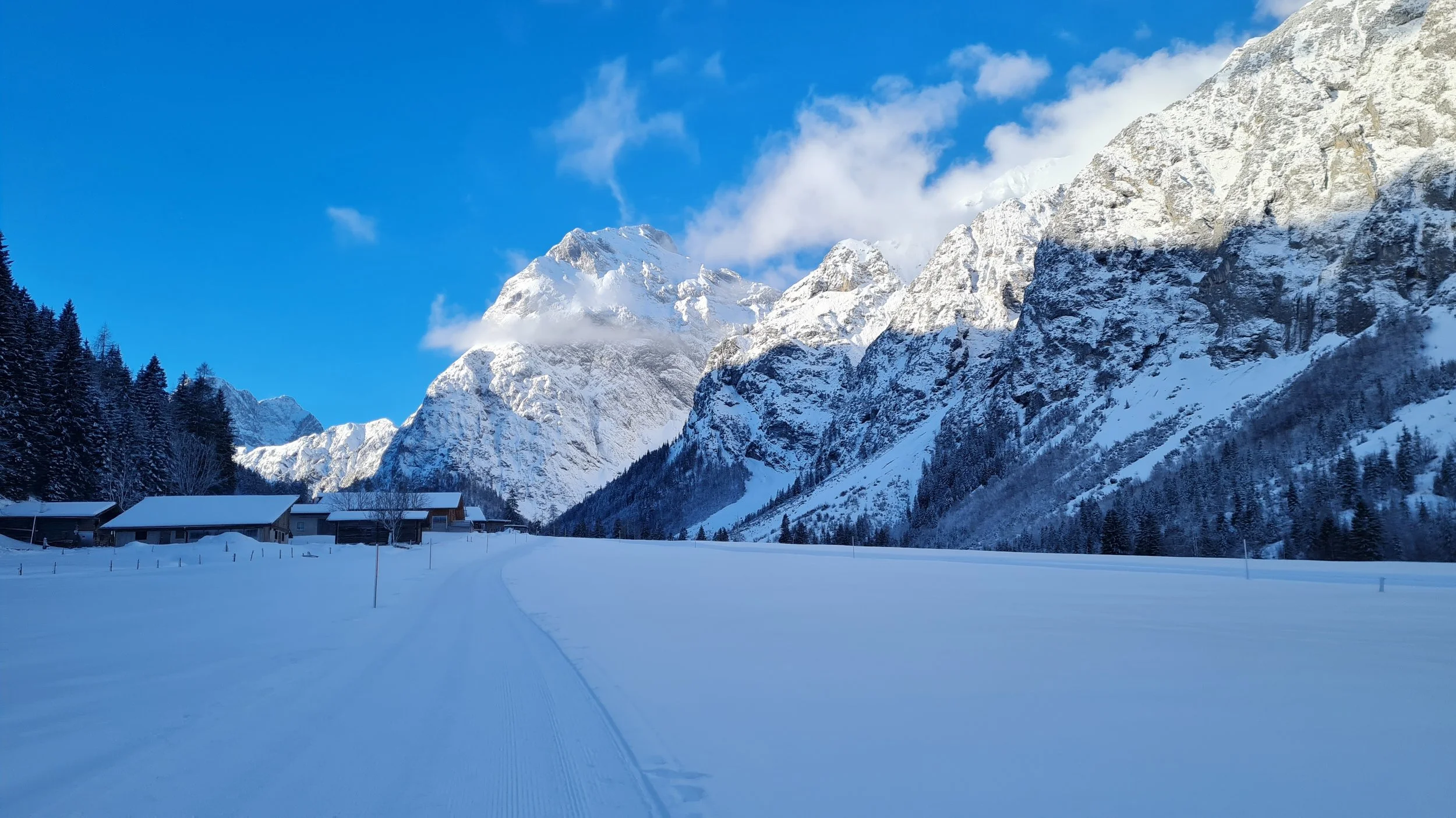
Starting point: Parkplatz Karwendeltäler, Pertisau
Ending point: Parkplatz Karwendeltäler, Pertisau
Ascend: 1700vm / 7h
Exposition: All aspects
guest post by @bennibru
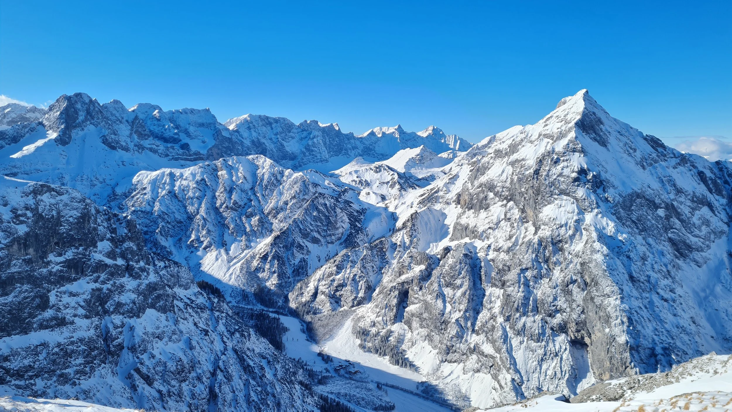
This tour takes us through the mountains south of the Falzthurntal, which in winter draws many visitors thanks to its cross-country ski trail, winter hiking path, and serviced huts. The ridge traverse itself, however, is far less frequented – mainly due to the technical and safety-related challenges along the way.
Route:
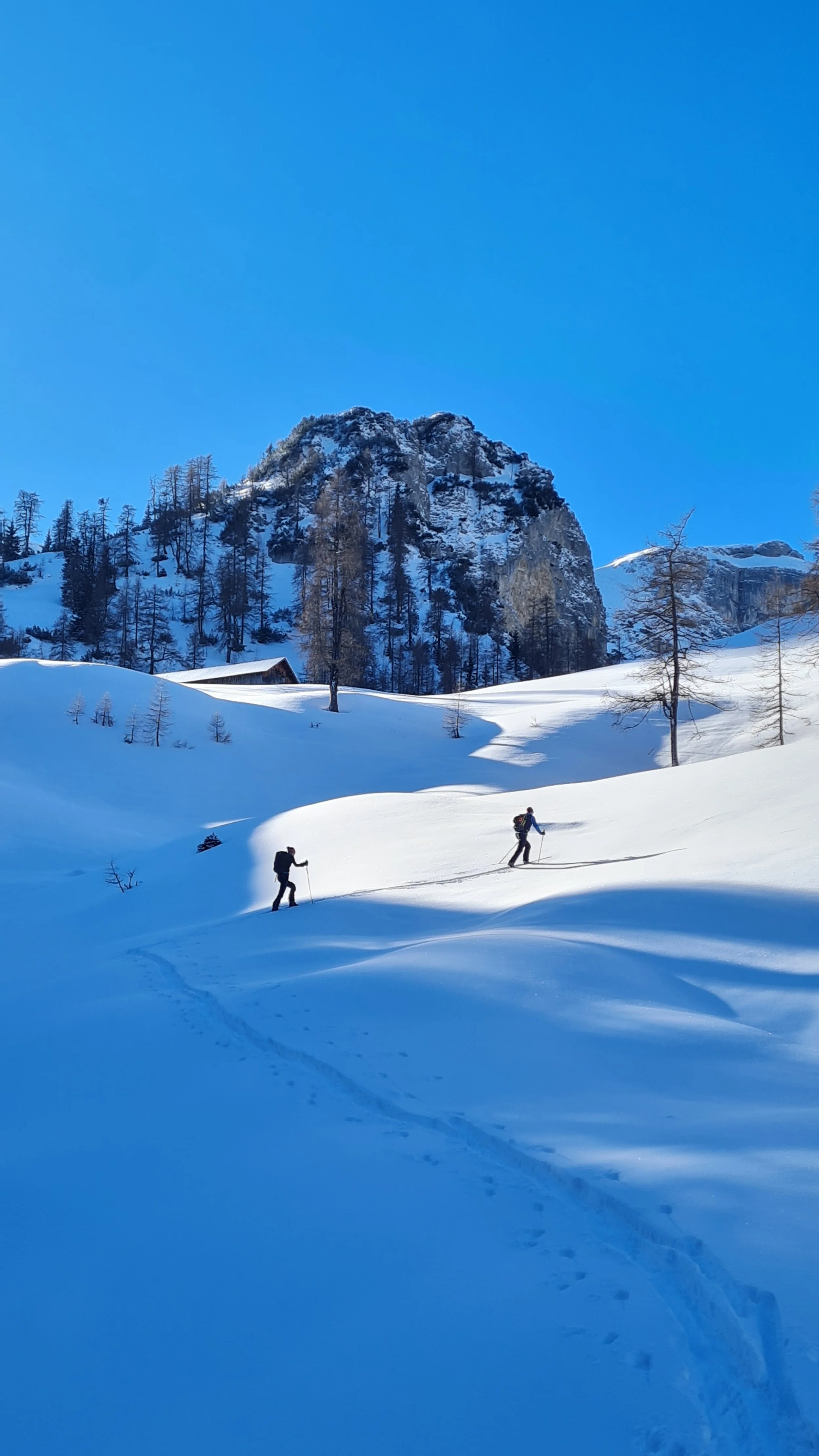
We begin at the large paid parking lot at the western end of Pertisau. From here, you can either follow the winter hiking trail or the ski track into the valley – the former leads more directly to the Falzthurnalm, our first stop after 3.5 km of nearly flat terrain.
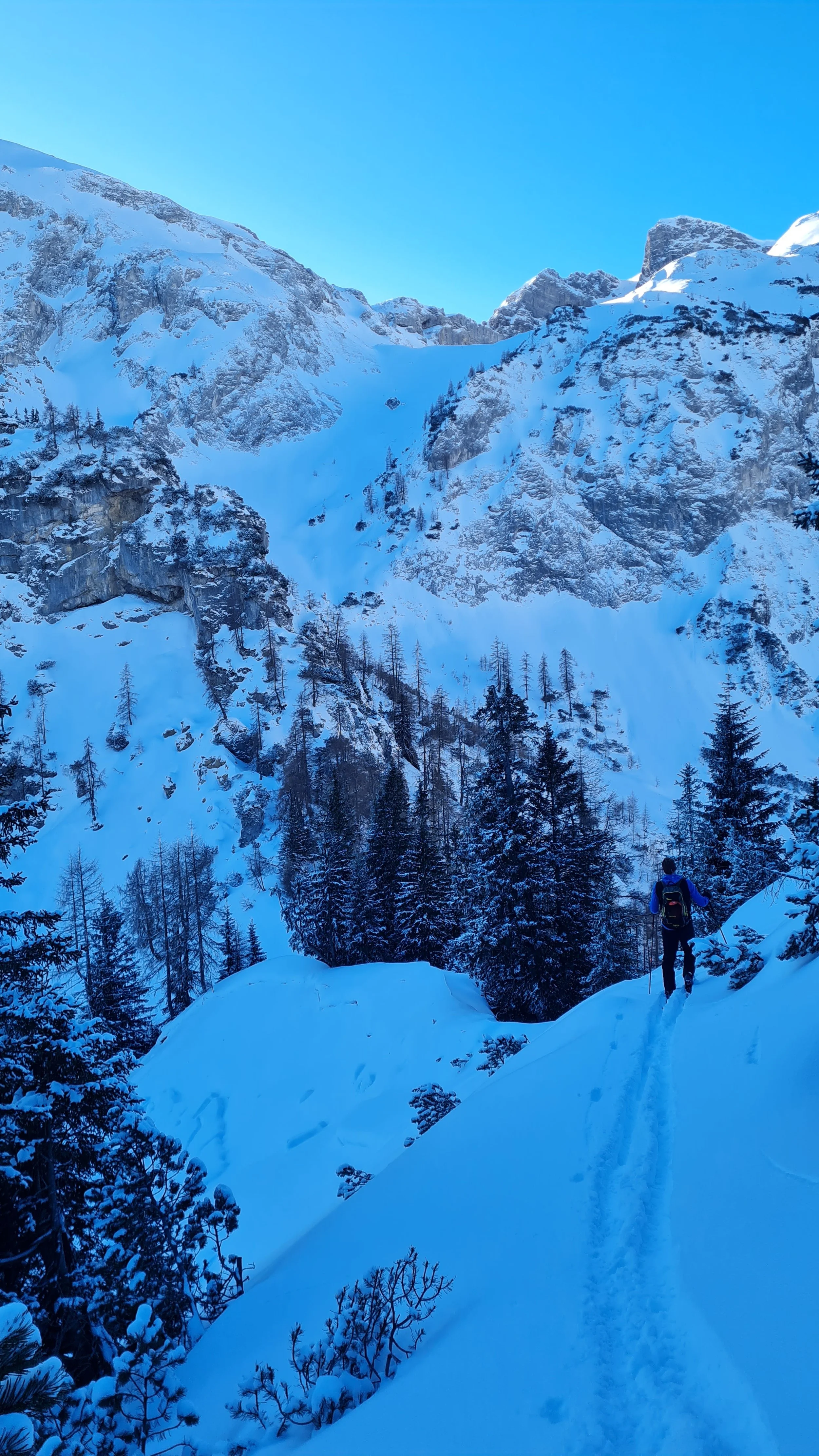
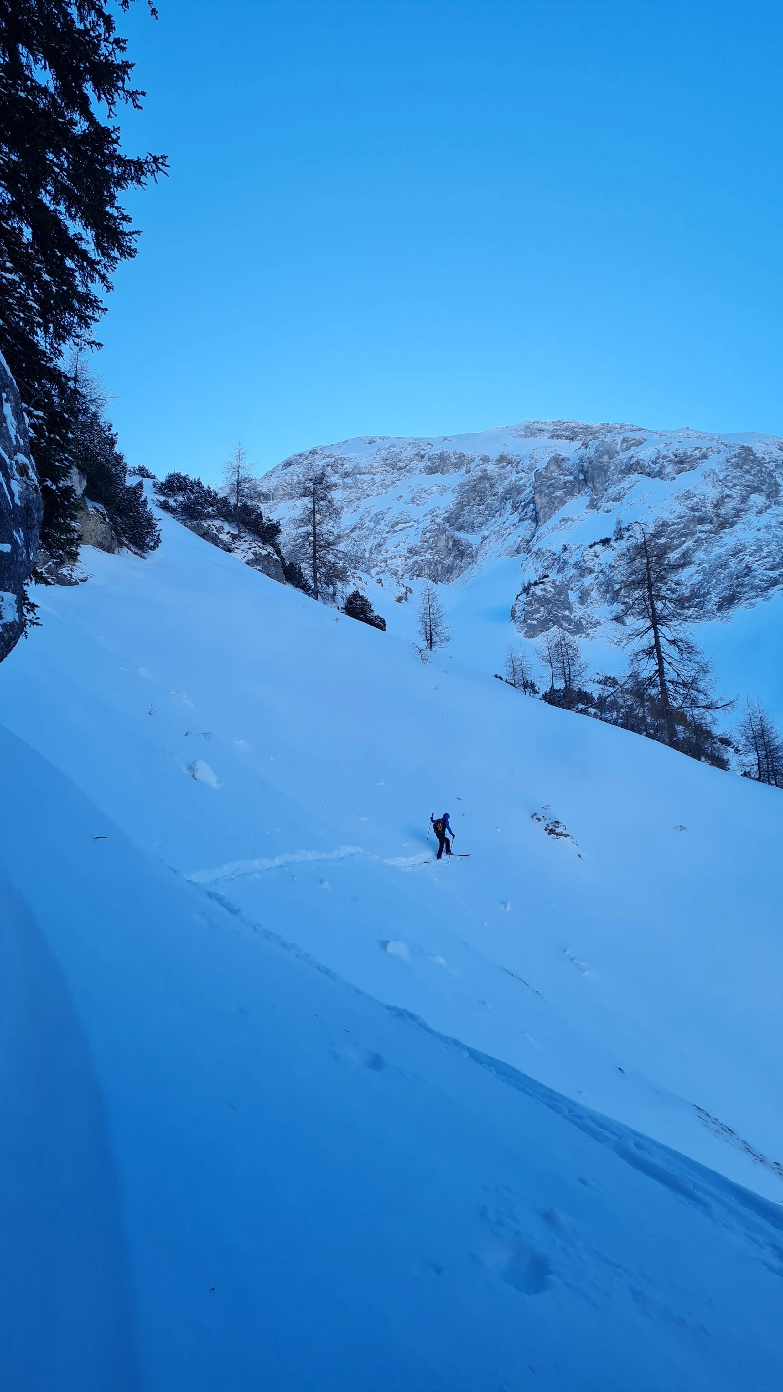
With enough snow cover, it’s possible to take the trail branching into the forest near the hut. Otherwise, follow the forest road for about 1 km before taking the trail into the ascent corridor of the Legertal. This path follows the summer route through sparse forest. In the upper part, we stay to the right of a gully often filled with avalanche debris. As the terrain flattens out, we reach the beautiful open slopes of the Dristlalm. After a short rise, crossing left below a small rise, we face the most interesting part of the tour.
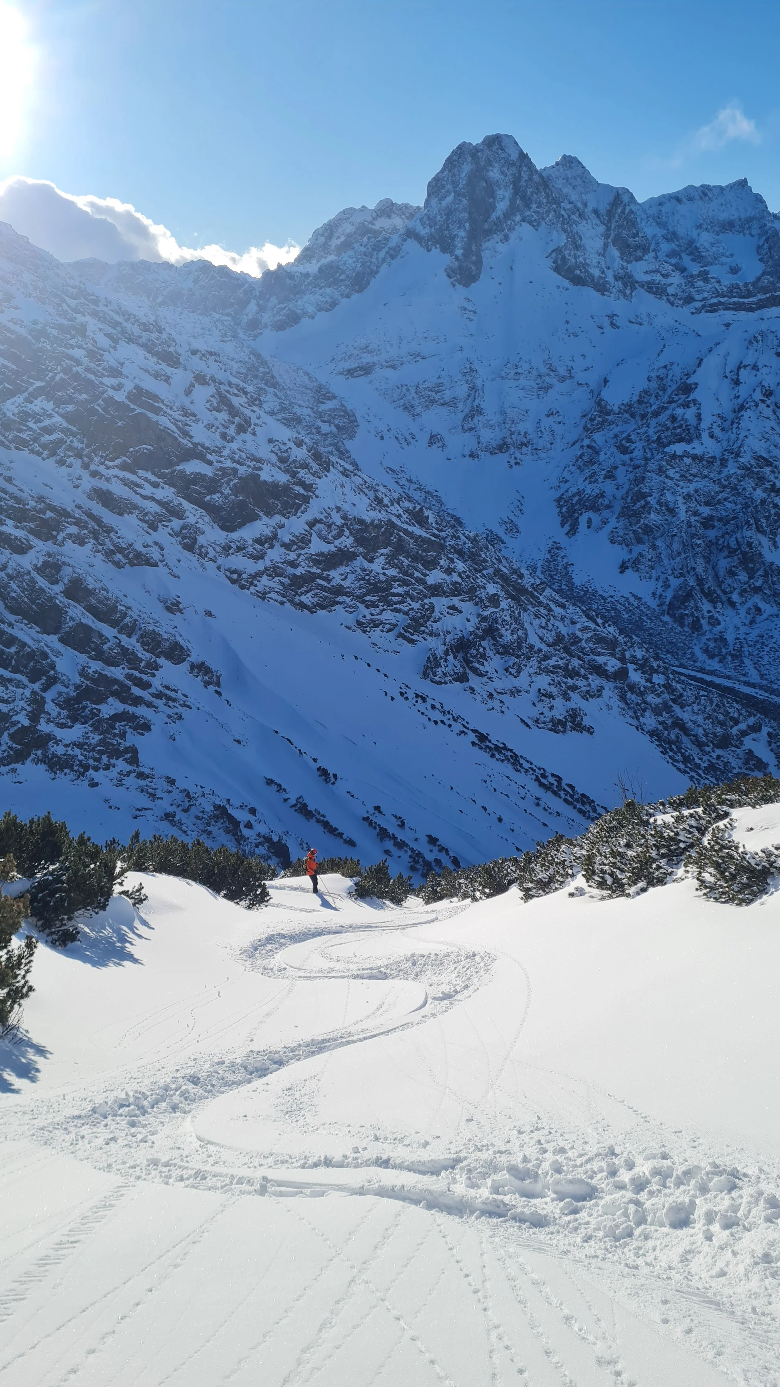
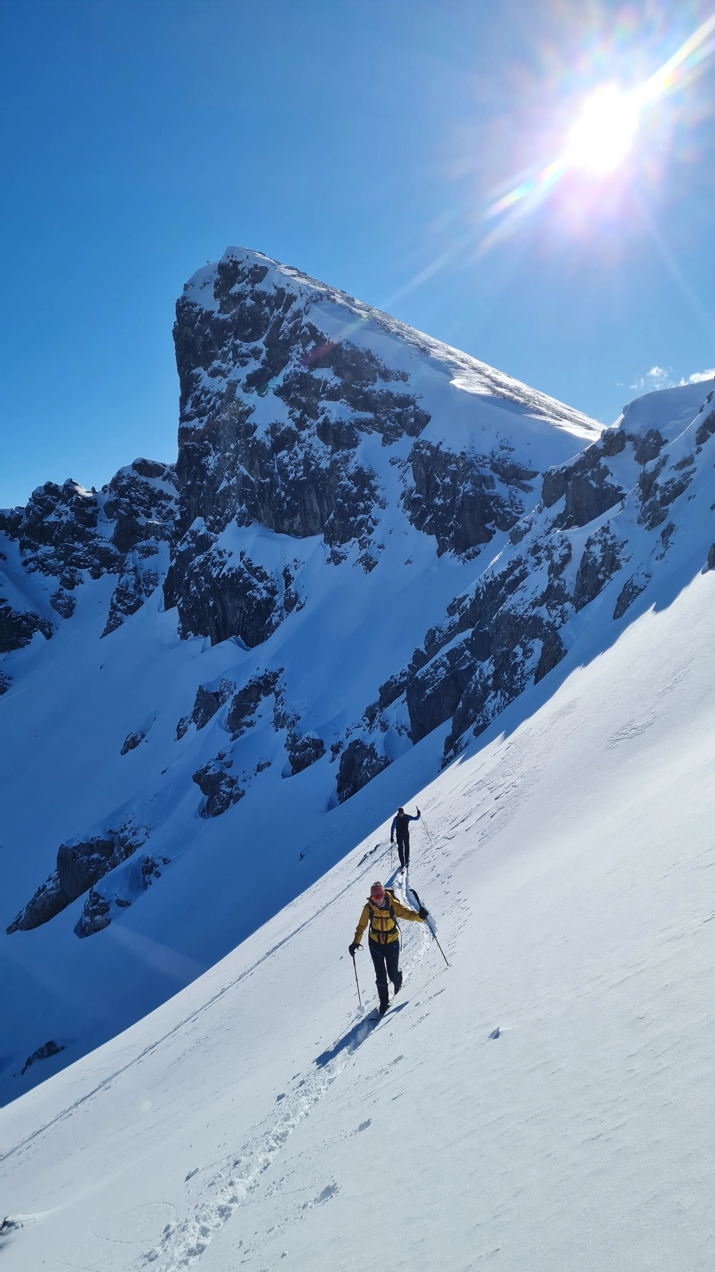
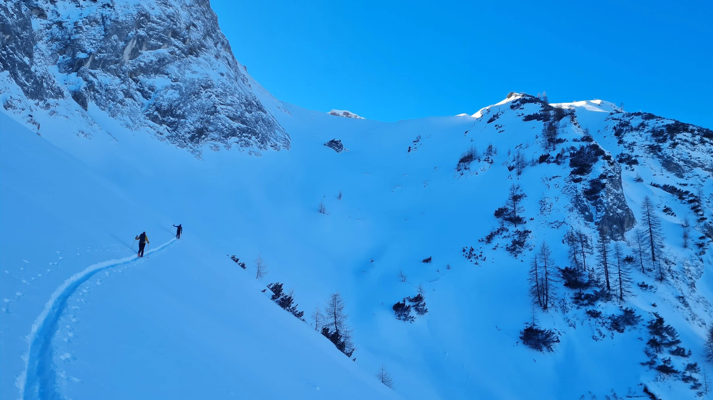
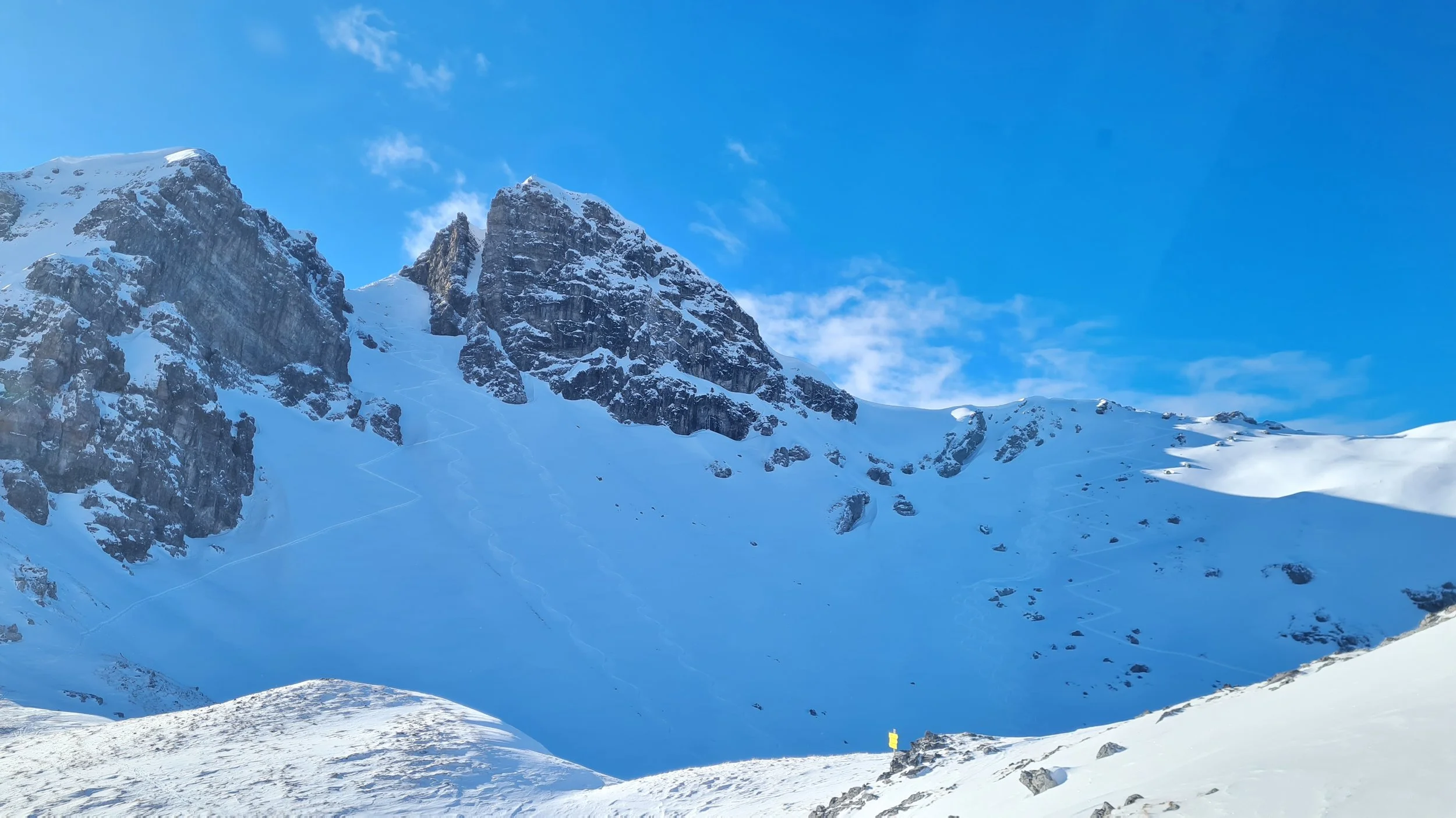
First, we descend a steep step down into the eastern Tristenautal – manageable on skins, though steep. Then we drop another 10 meters to begin a traverse into the Brunntal. This includes the tour’s crux: a steep gully crossing, where both fall and avalanche risk must be taken seriously. After this, we traverse easier grassy slopes to the start of the climb into the Nauderer Kar, where the slope steepens once more.
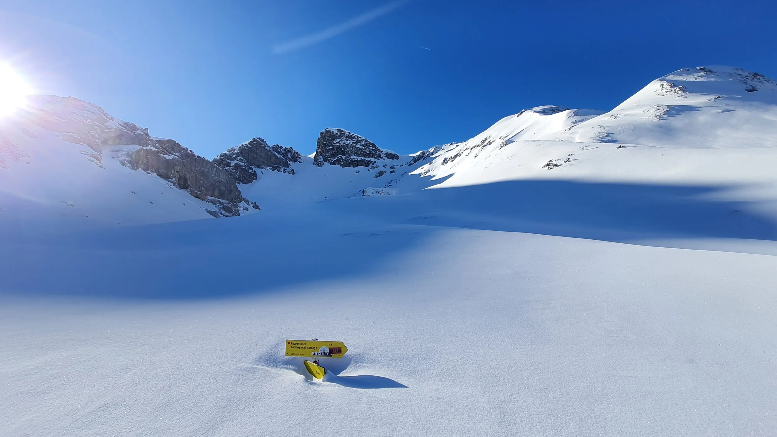
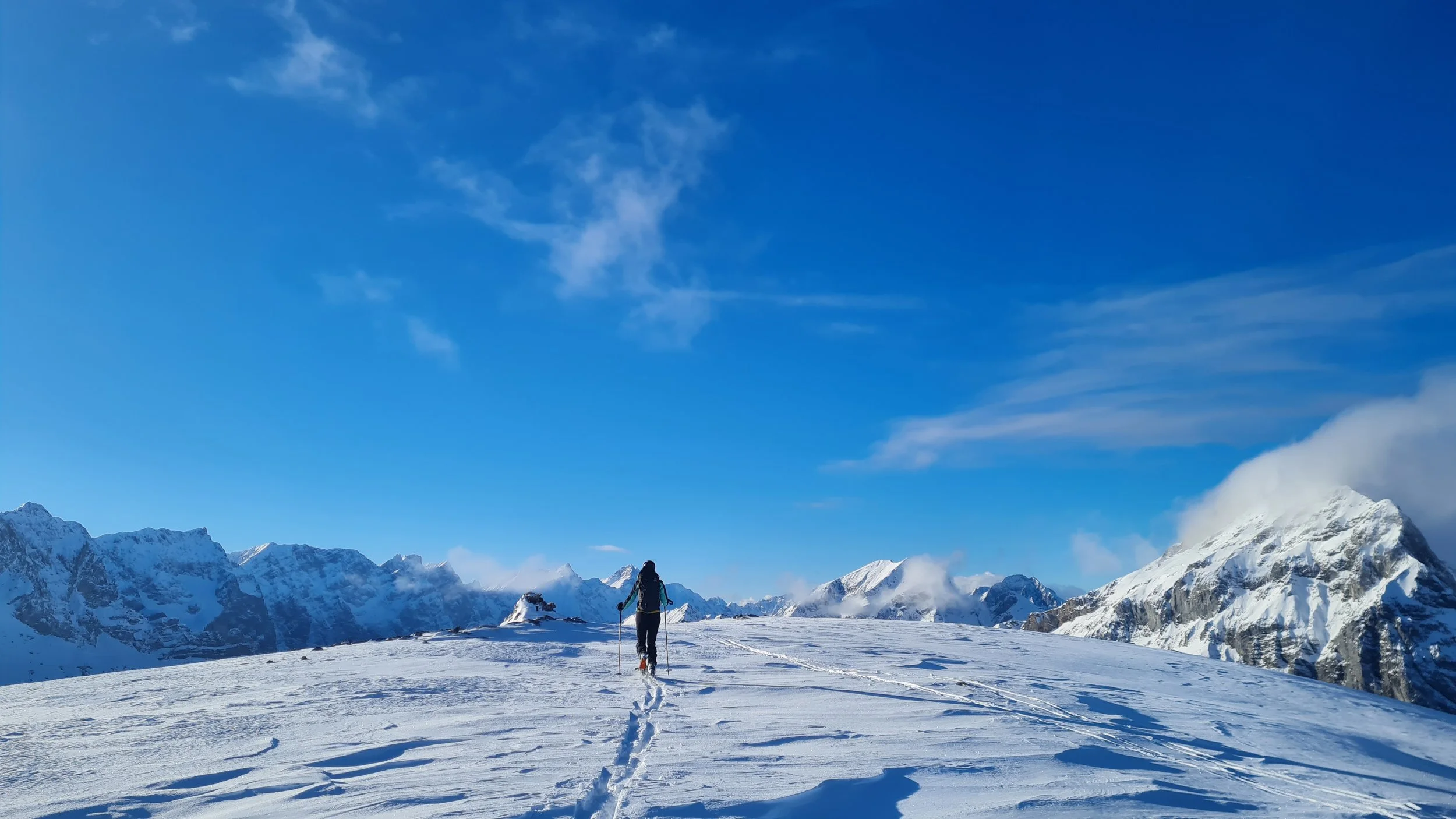
At the top of the final ascent we reach the flat basin of the Nauderer Kar, with the Rappenspitze rising impressively ahead. To reach the summit, there are three options:
1. Follow the summer trail along the ridge on the right (may be wind-scoured),
2. Ascend the slope below the Larchkarlkopf and approach the summit from the north,
3. Climb directly towards the summit via the east-facing couloir.
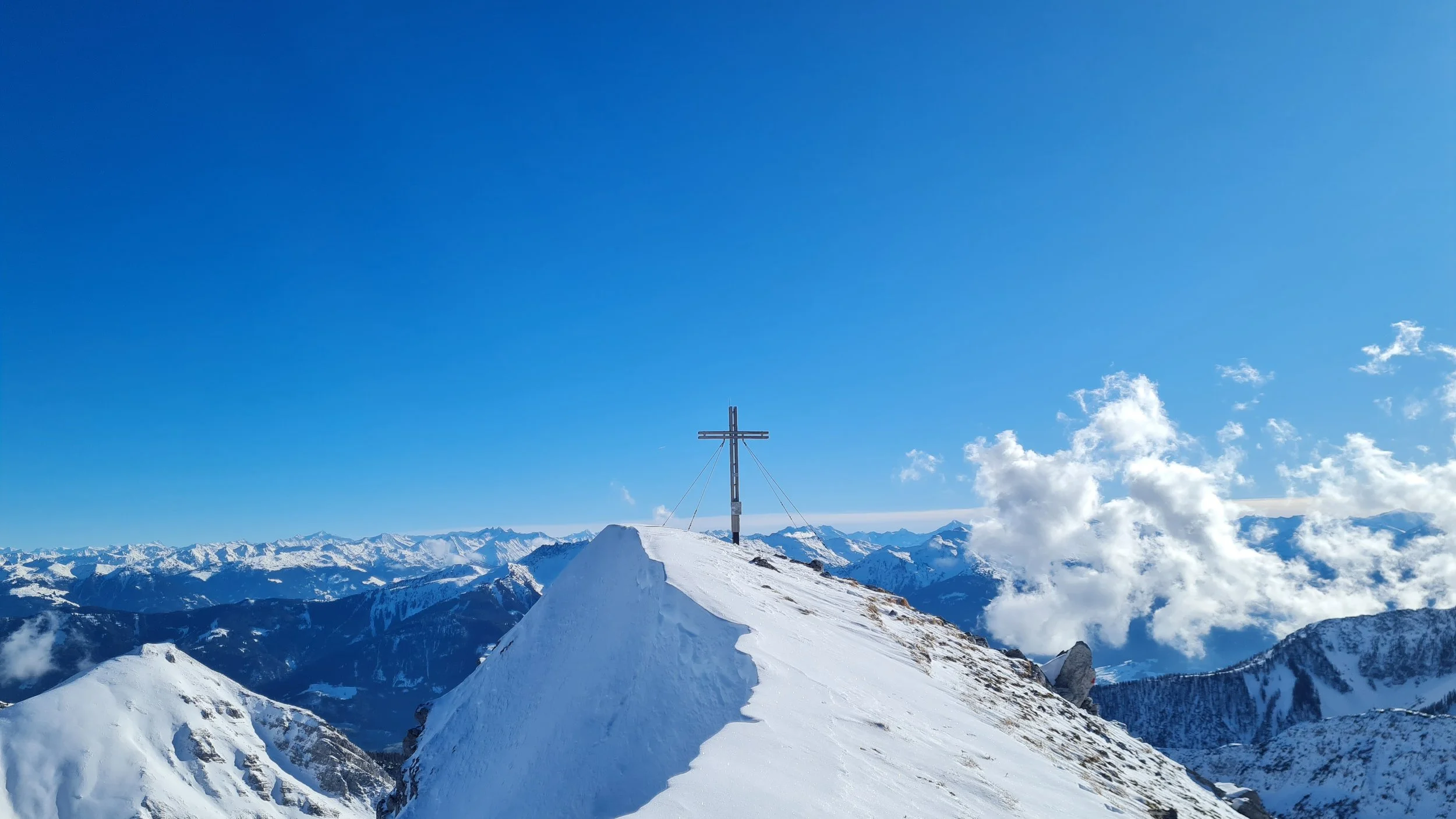
We chose option two: a scenic ski ascent, followed by a short hike along the north ridge to the summit cross.
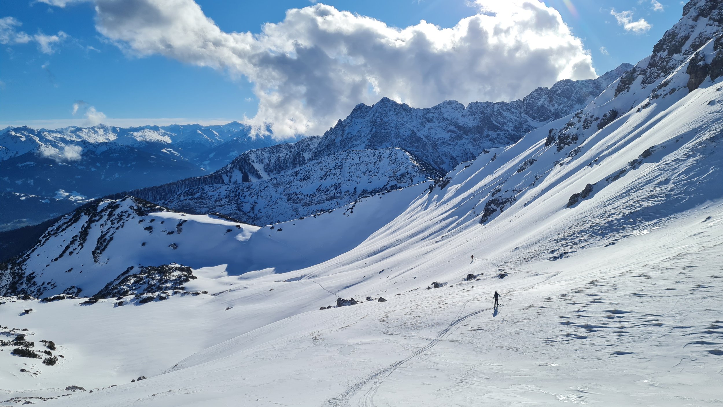
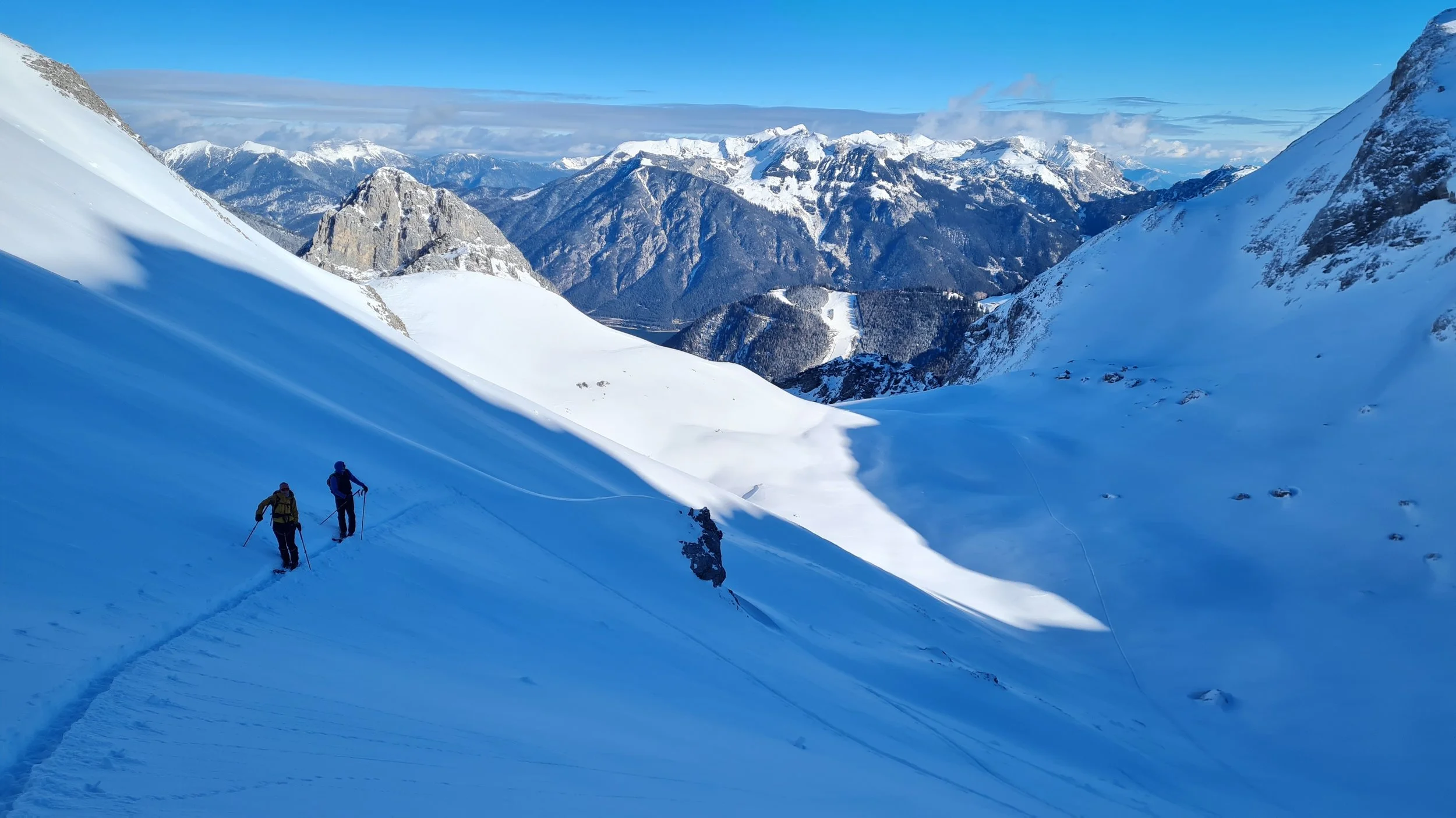
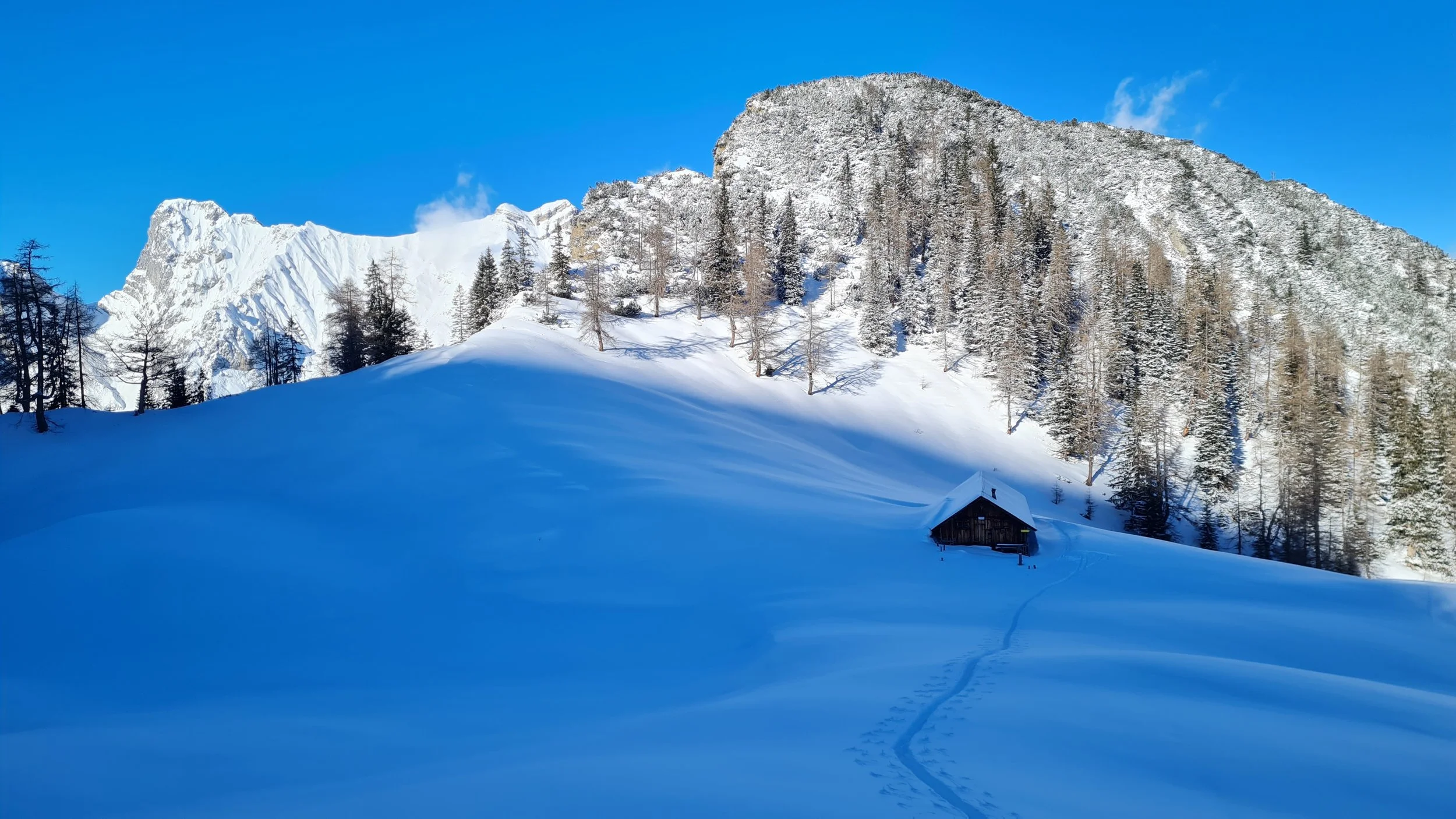
The descent back into the Kar follows the same line or the direct gully, if conditions allow. With stable snow, a direct descent southward toward the Naudersalm could be faster, but we opted instead to ski down the ascent route back to the Nauderer Kar. From there skin up to the saddle between Rappenspitze and Kaserjoch (the latter is a worthwhile and easy bonus summit). From here, a high traverse minimizes elevation loss before a short descent to the Naudersalm.
We now have around 250 more vertical meters to climb to reach the very gentle summit plateau of the Lunstkopf (2142m). The ascent passes through mountain pine terrain but poses no major difficulties.
Descent:
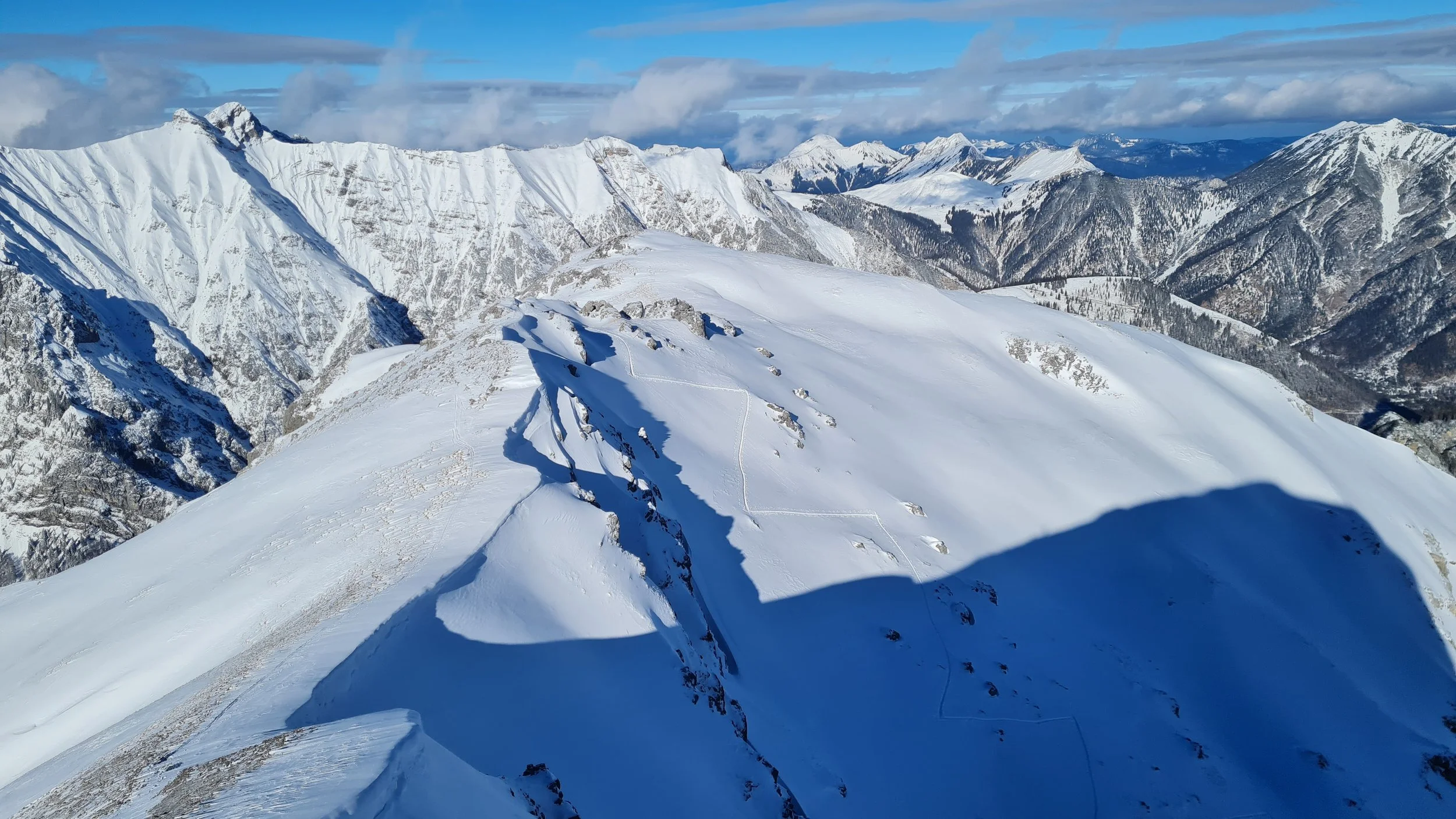
From the Lunstkopf, we descend southwest toward the Lunstgraben. A quick check of the satellite map can be helpful here to find the open slopes between the often dense patches of mountain pines – though some contact is likely unavoidable. Once in the Lunstgraben, we enjoy a straightforward and enjoyable descent to the valley floor behind the Gramaialm. A few pole pushes bring us to the hut, where we rejoin the cross country ski trail to complete the long return to Pertisau.
Pro Tip: Apply wax to your skins and skis to make the flat sections much easier to handle!
Photos by @the.running.nomad, @bennibru and @sontschi2604