

Steinernes Lamm (2528m) from Schmirn
Technical difficulty: 4/10 (only the scramble-y bit on top)
Fitness: 3/10
Objective danger: 7/10 (only the scramble-y bit on top)
Landscape: 7/10
Busy: 5/10
Easy ski tour from Schmirn via the Wildlahn Valley – scenic alpine route with Olperer views.
Starting point: Wildlahner Parking
Ending point: Wildlahner Parking
Ascend: 1000vm / 3.5h
Exposition: North / North-west
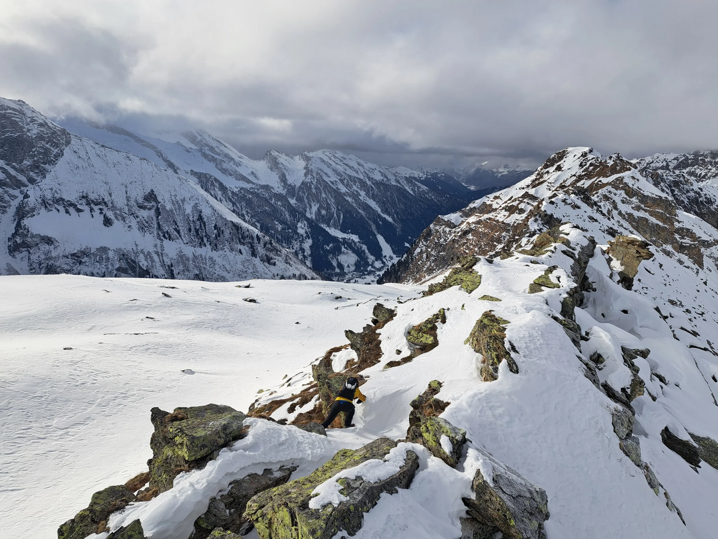
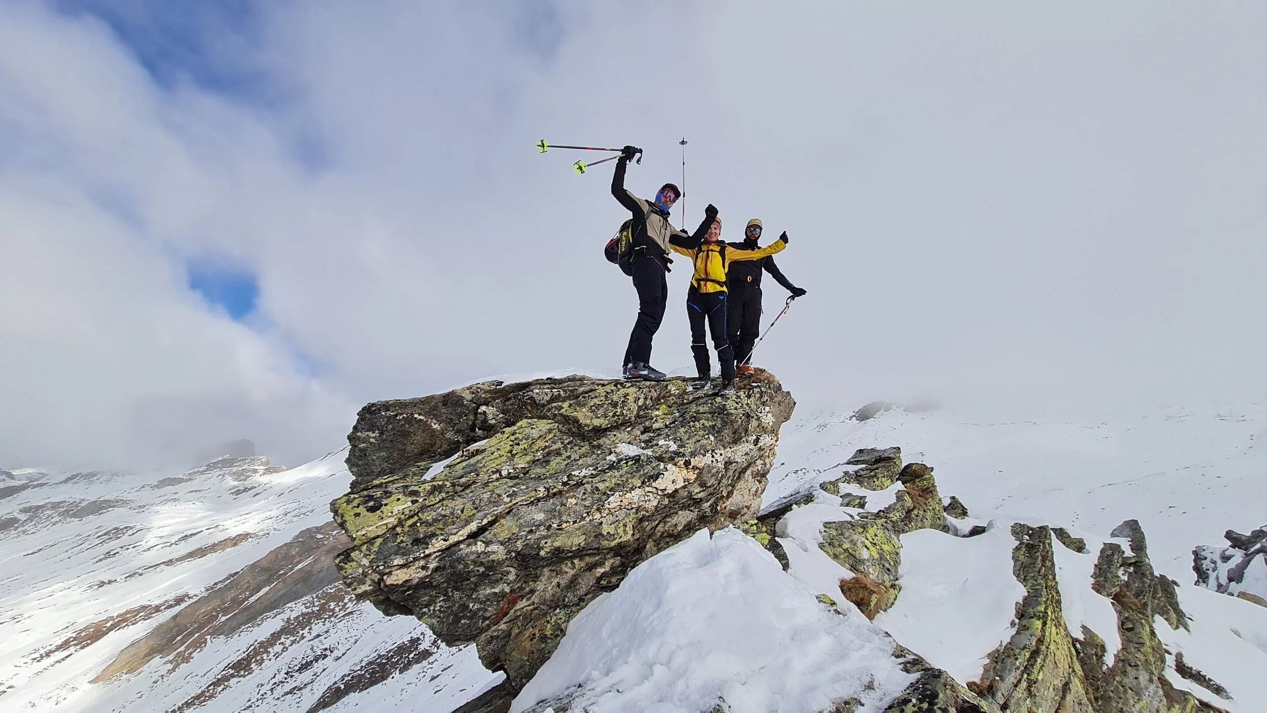
The Steinernes Lamm (Stone Lamb) is not an independent summit but rather an unspectacular rise in a rocky ridge: two large rock blocks stacked by nature, which—with a bit of imagination and when viewed from the right angle—resemble a lamb. In any case, it is a wonderful and so far little-known ski touring destination halfway to the Olperer (3476 m) that, despite not requiring glacier travel, conveys a touch of Western Alps atmosphere
Route:
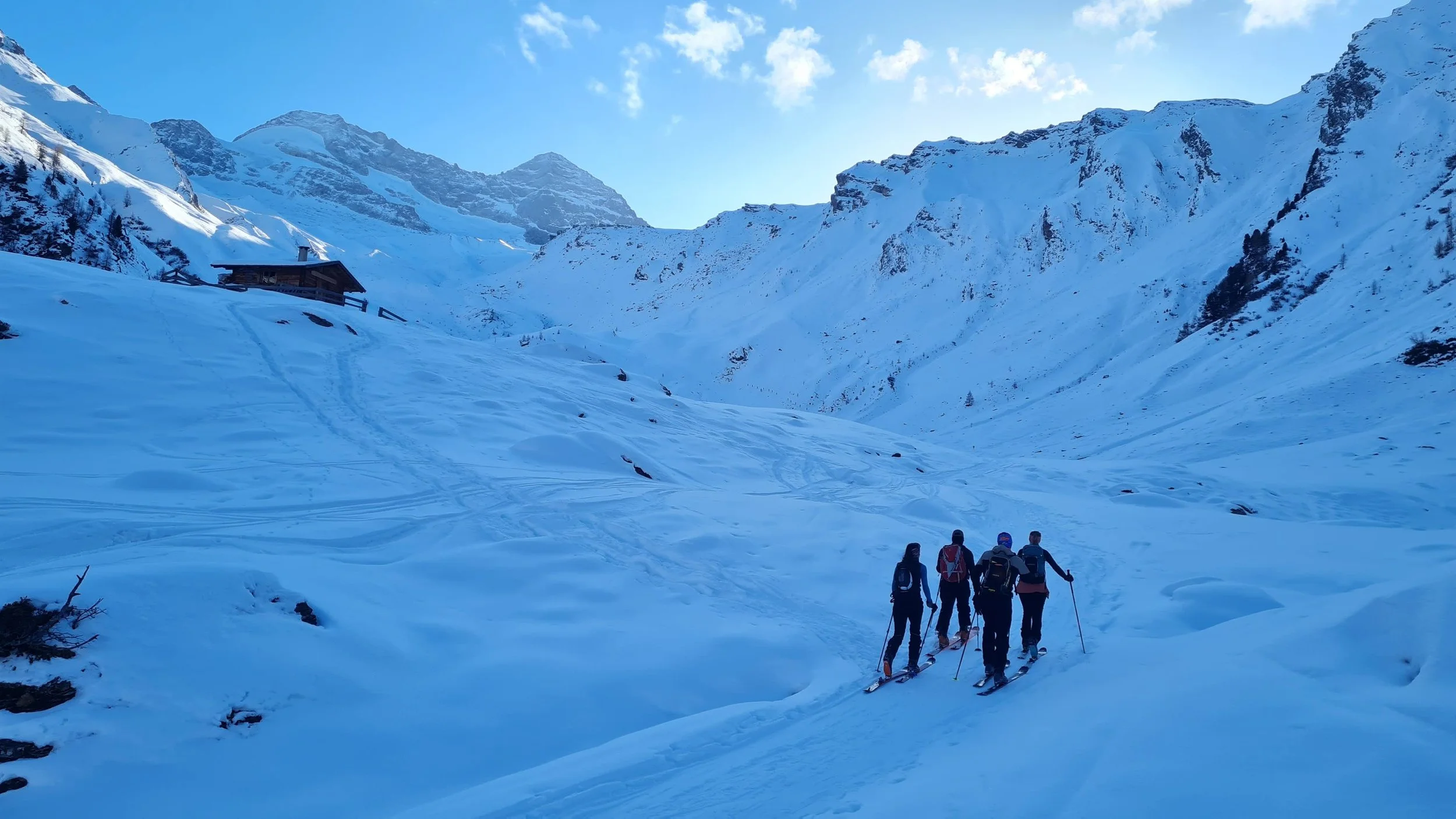
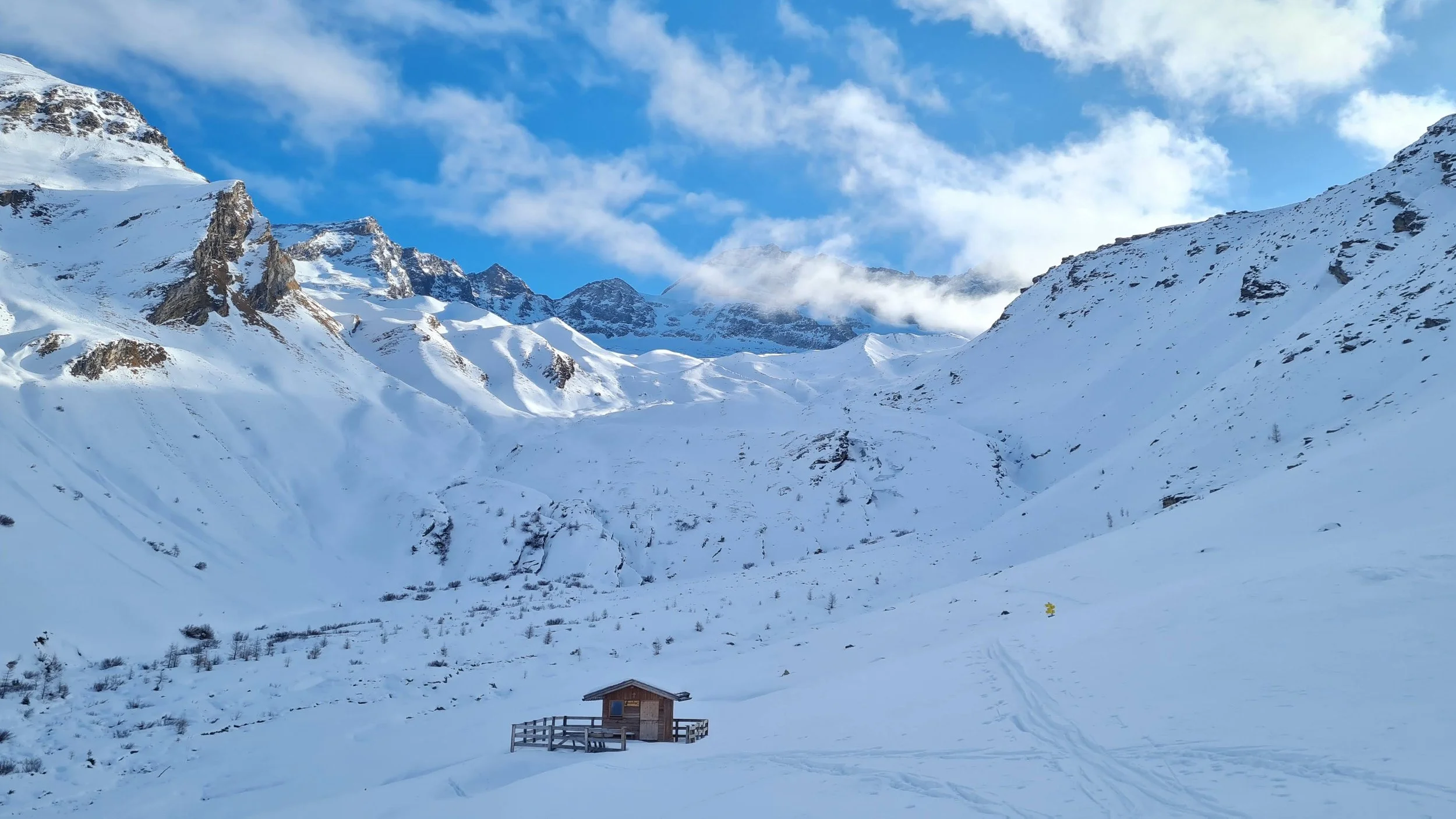
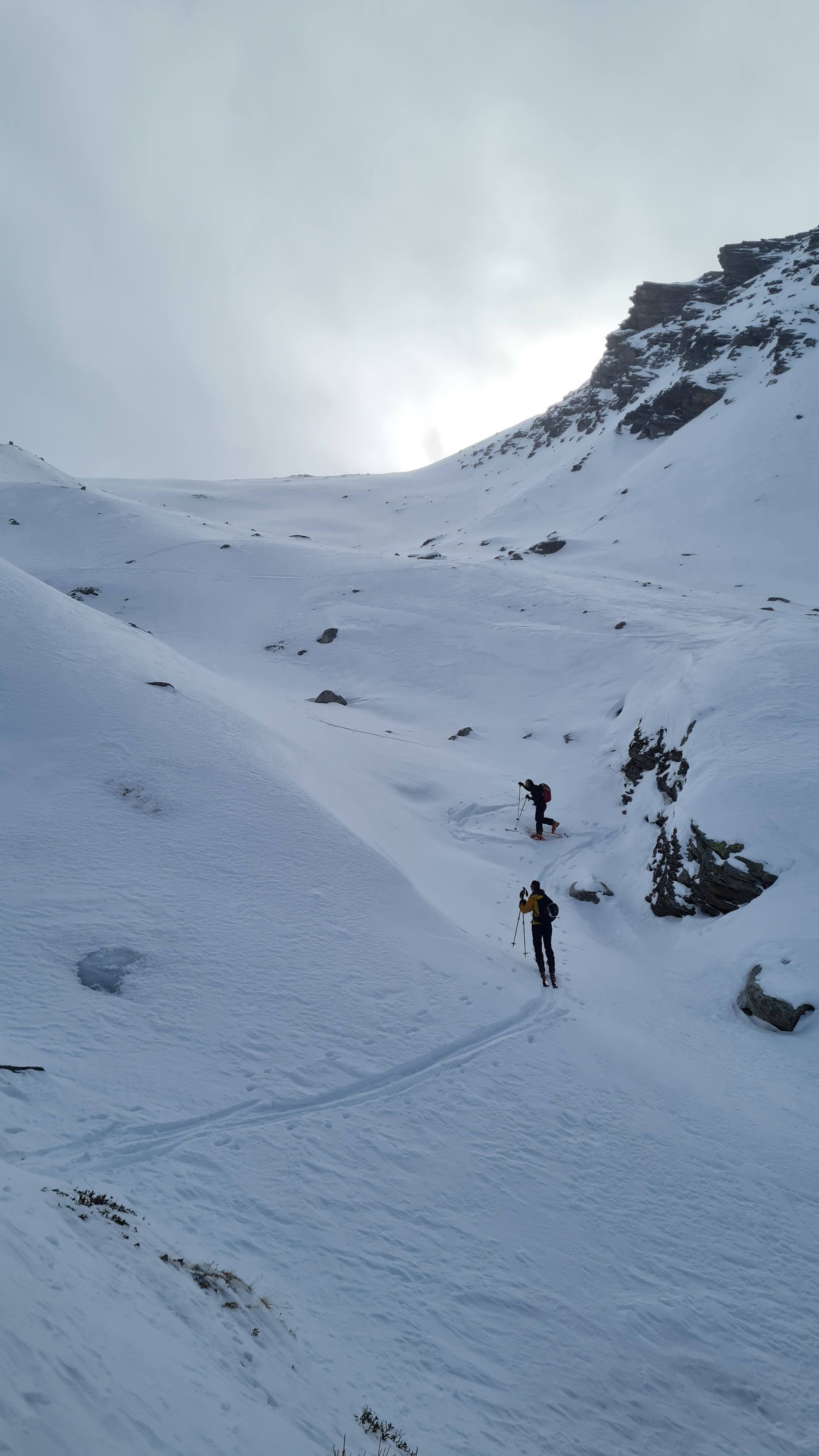
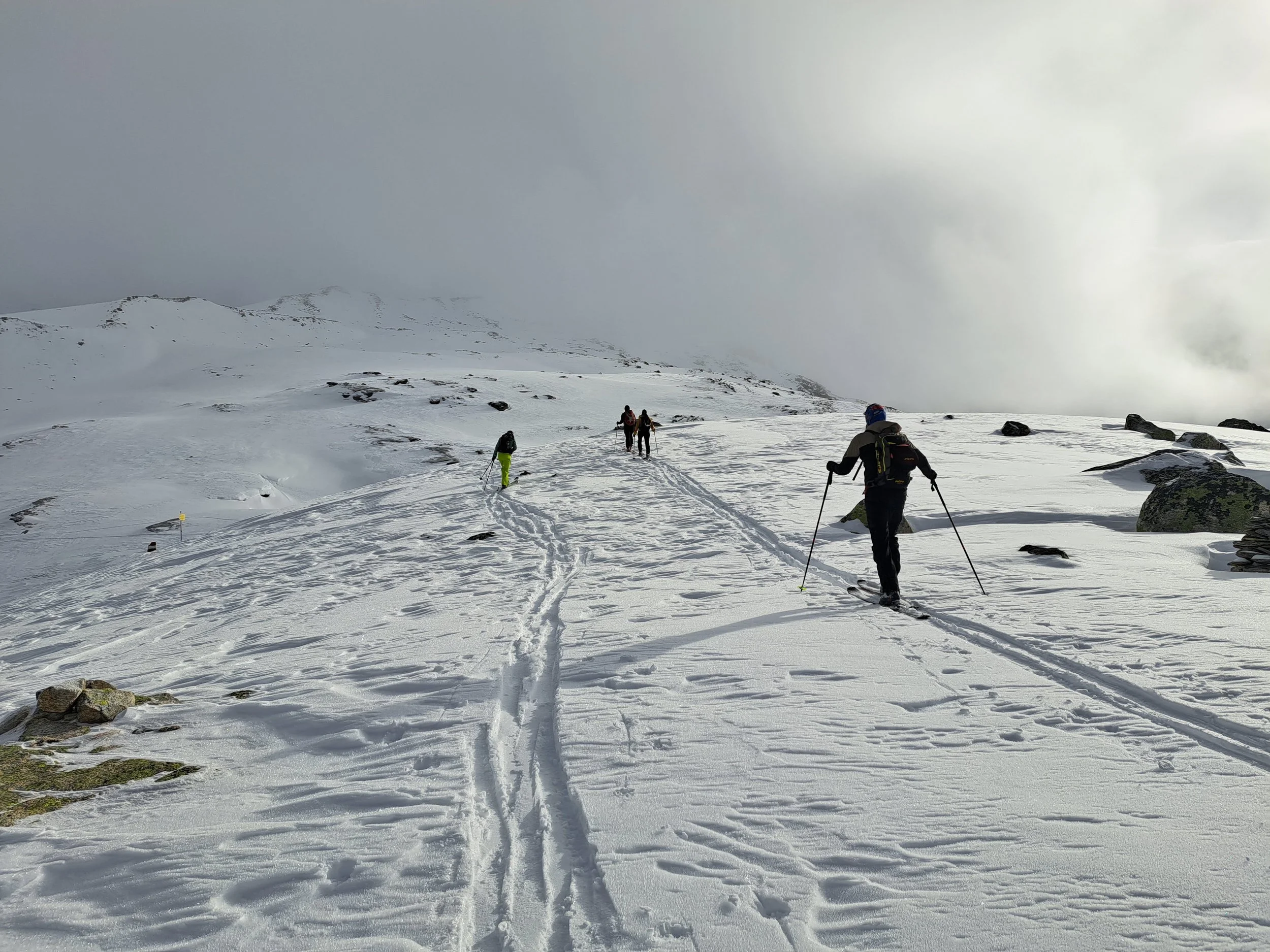
From the parking area (1,520 m), cross the bridge to the orographic left side of the valley. Follow the forest road—shortcuts are possible—far into the Wildlahn Valley to the Isse Alm at 1,890 m. Then continue across the flat valley floor, keeping to the right, toward the terrain step known as “Roßbichl,” and ascend this easily to the next high plateau. Continue gently toward the next, already visible steep step, taking care to keep your distance from the very steep north-facing slopes on the right. The steep step itself has a “weak point” in the middle, and if the track is set cleverly, it can be climbed without switchbacks, reaching 2,200 m.
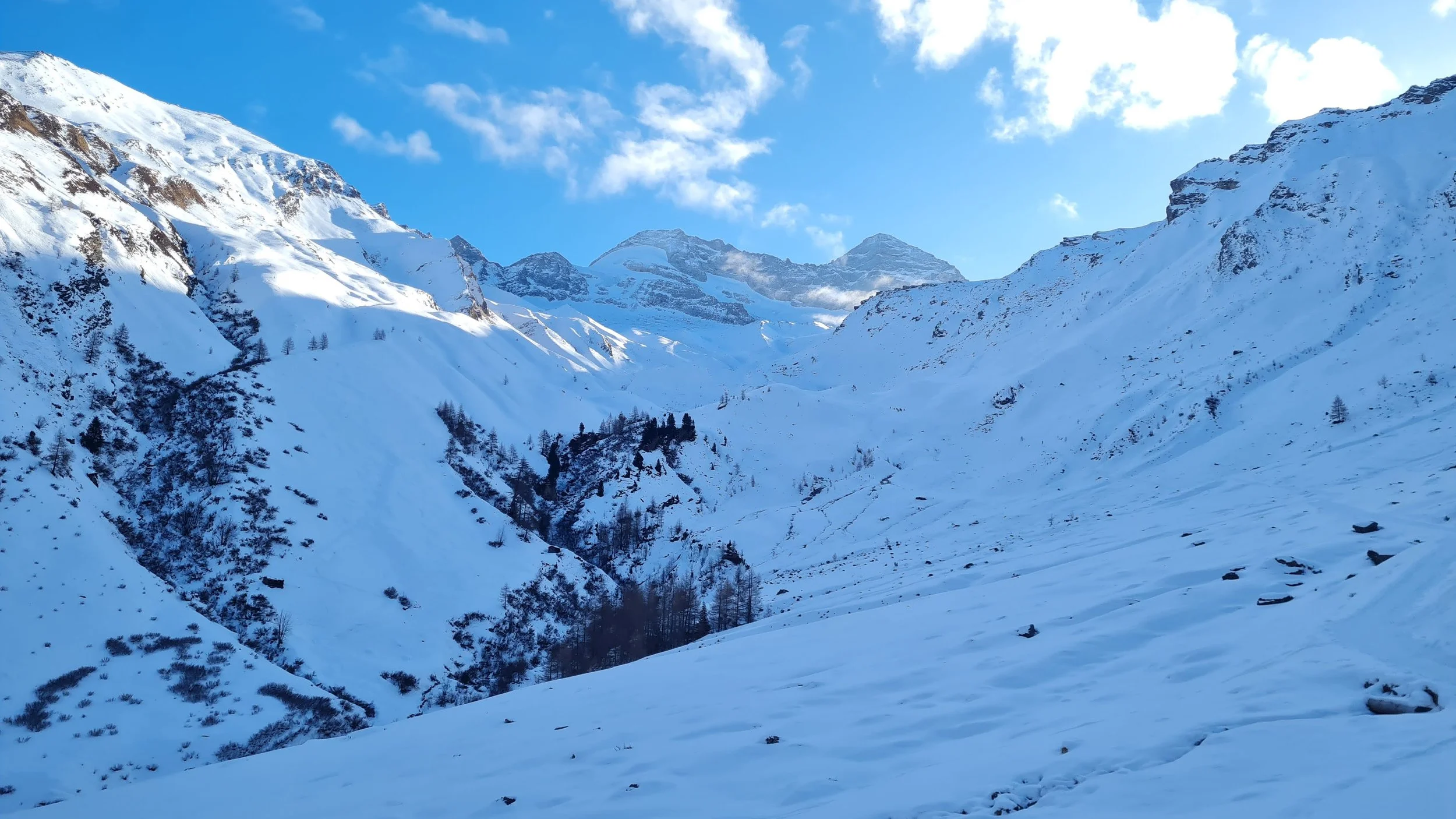
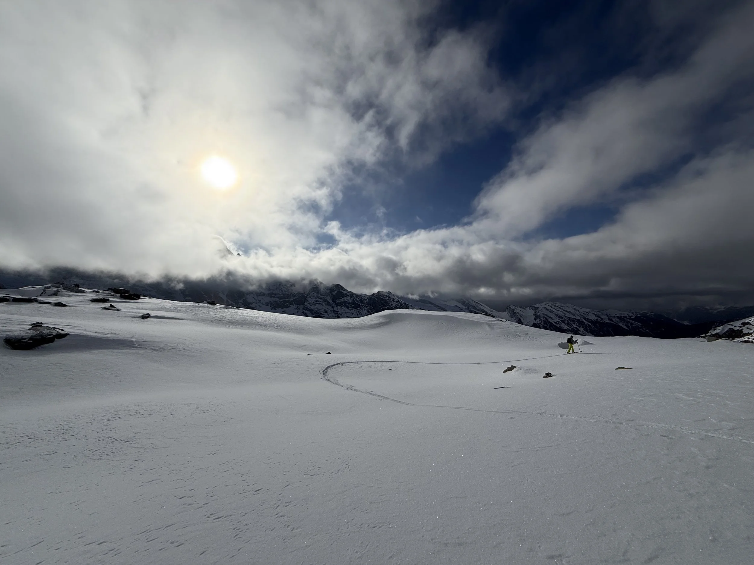
The terrain now becomes moderately steep (20–30°) and, higher up, increasingly broad and expansive. Our objective, the rocky ridge with the Steinernes Lamm, is clearly visible. We continue upward for about another 200 vertical meters, keeping our distance from the steep slopes on the right, until just under 2,500 m. Here we turn right, heading west, reach a signpost, and then continue—first flat, then with a slight ascent—to the rocky ridge. It is only a short scramble from here a few more meters up to the Steinernes Lamm itself (caution: it drops off steeply on the north side!).
Descent:
The same as ascent.
Photos by @the.running.nomad, @bennibru, @annikasuess, @troopni and @sontschi2604