Verpeilspitze (3423m) Round
Technical difficulty: 9/10
Fitness: 9/10
Objective danger: 9/10
Landscape: 10/10
Busy: 2/10
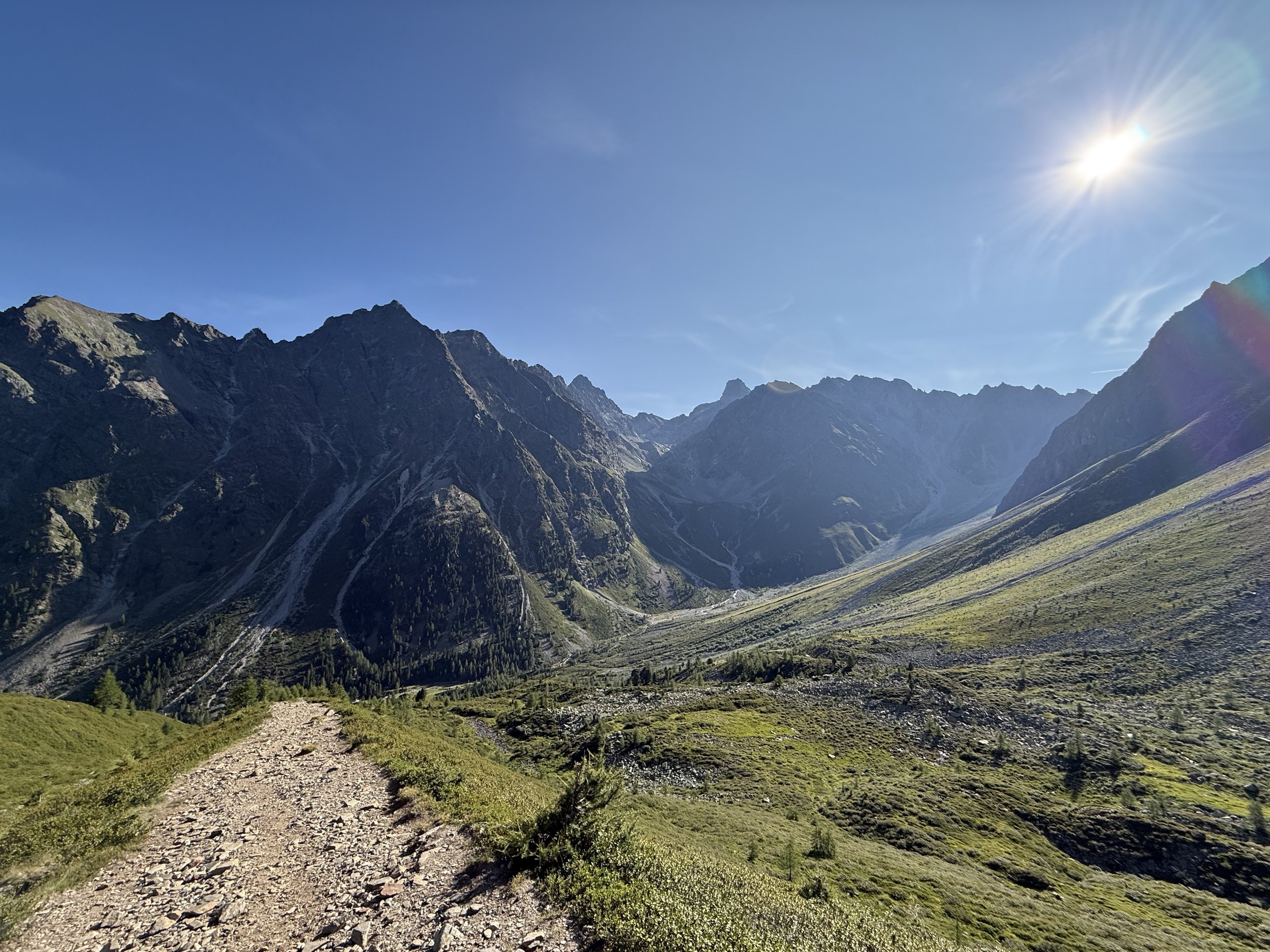
High alpine loop full of technical terrain, scrambling and amazing views.
Starting point: Verpeilalm
Ending point: Verpeilalm
Length: 22km
Vertical: 2500m
Speed: very technical trails and scrambling
Route:
We start from the parking lot at Verpeilalm in Kaunertal, accessible by a steep forest road. We start up the trail up the valley to Verpeilhütte. The trail ascends gently following the river. Once we reach the hut, we turn south and follow the valley uphill all the way as it turns east. The scenery gets more rocky. The last few hundred meters passes on the left side of the Madatsch glacier. There is a short section fixed with ladders and fixed ropes before reaching the saddle at Aperes Madatschjoch (3037m) and a few meters further at the summit of Jochspitze (3067m).
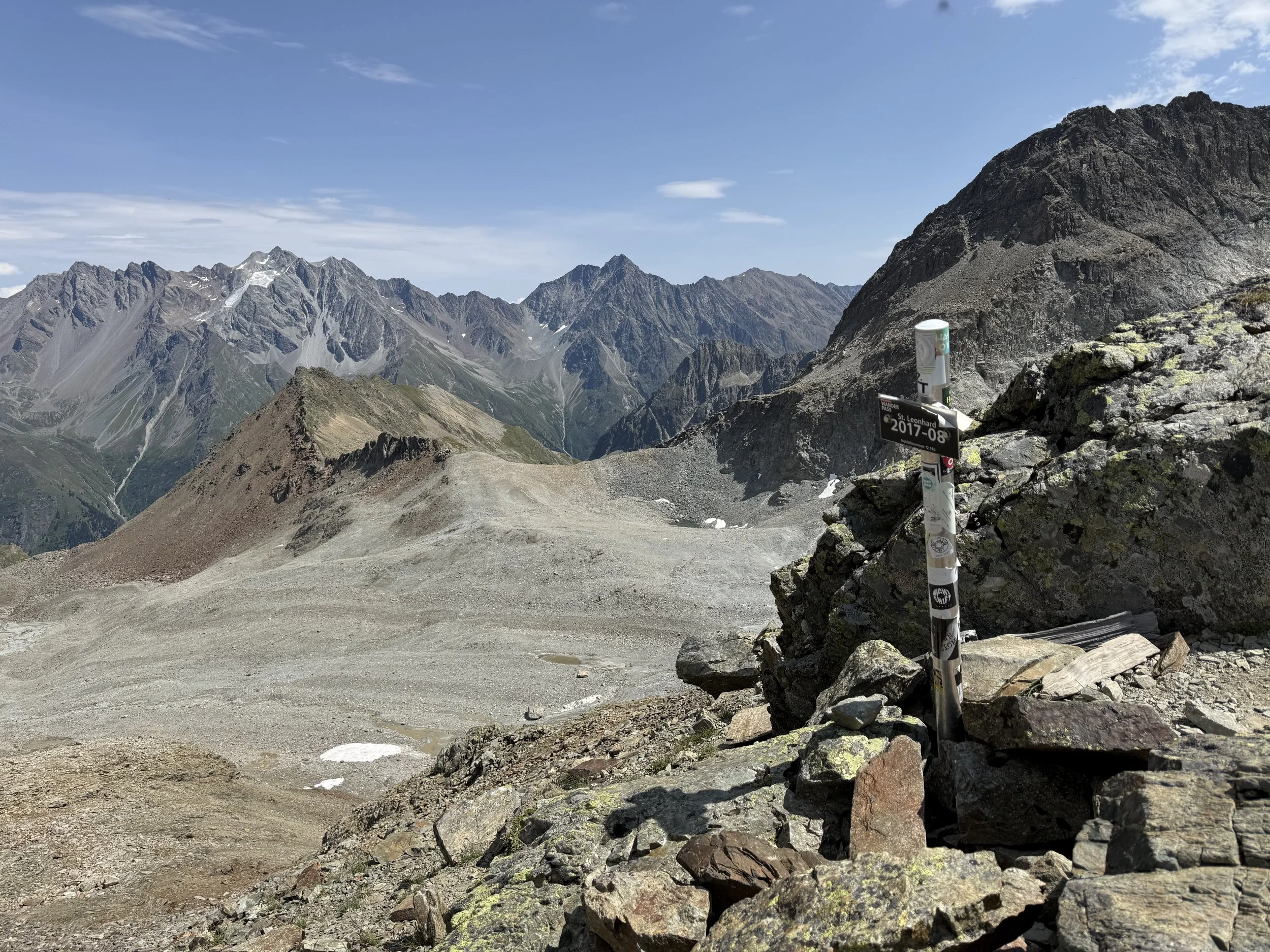
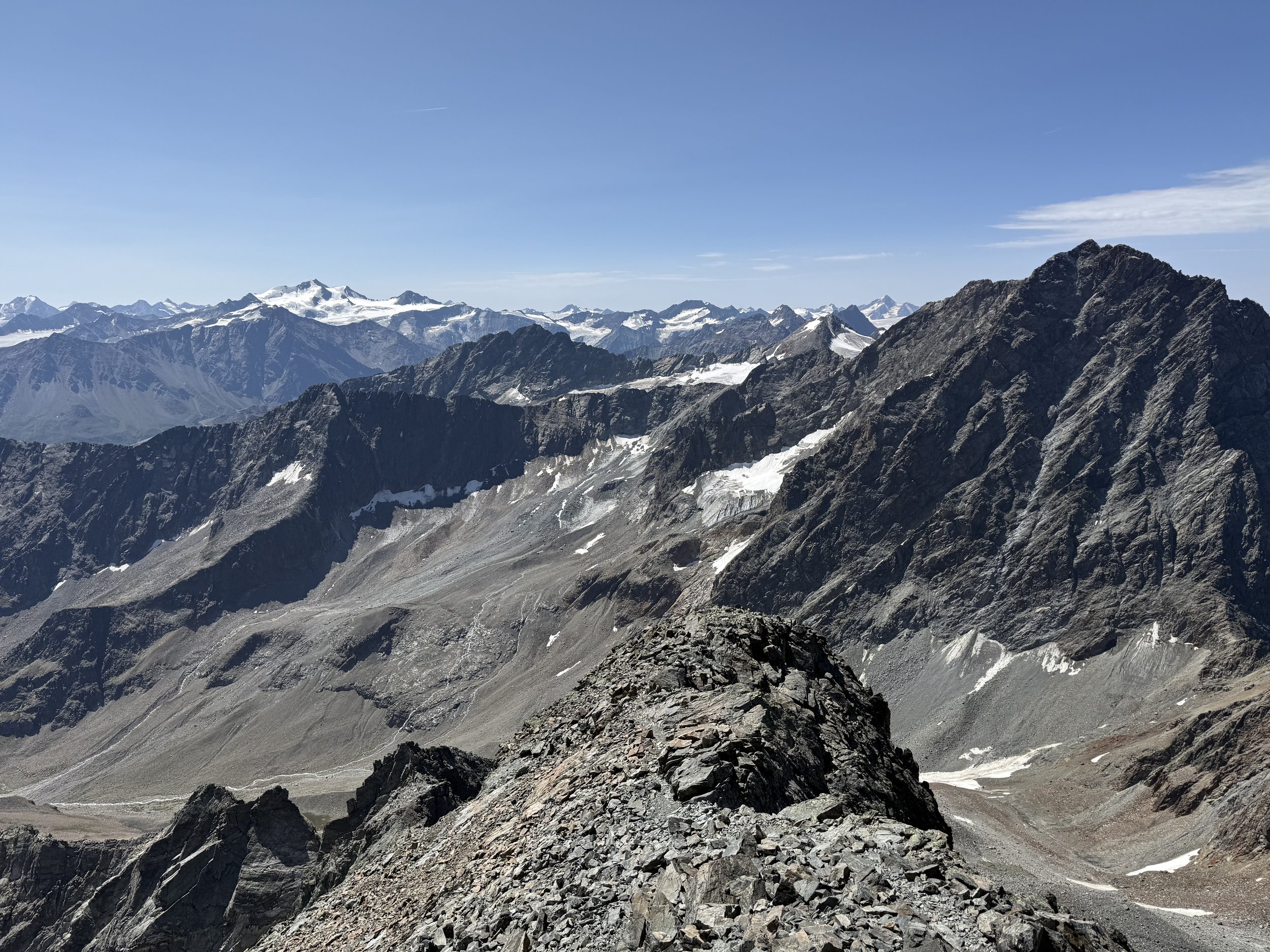
We follow a technical trail downhill on another series of fixed ropes until a sign with a trail turning off north towards Verpeilspitze. We follow cairns through a boulder field towards a south couloir of the summit. The route gets progressively more technical. Towards the summit, be careful about the route finding. There are some technical sections reaching II/II+ difficulty before getting to the summit at 3430m.
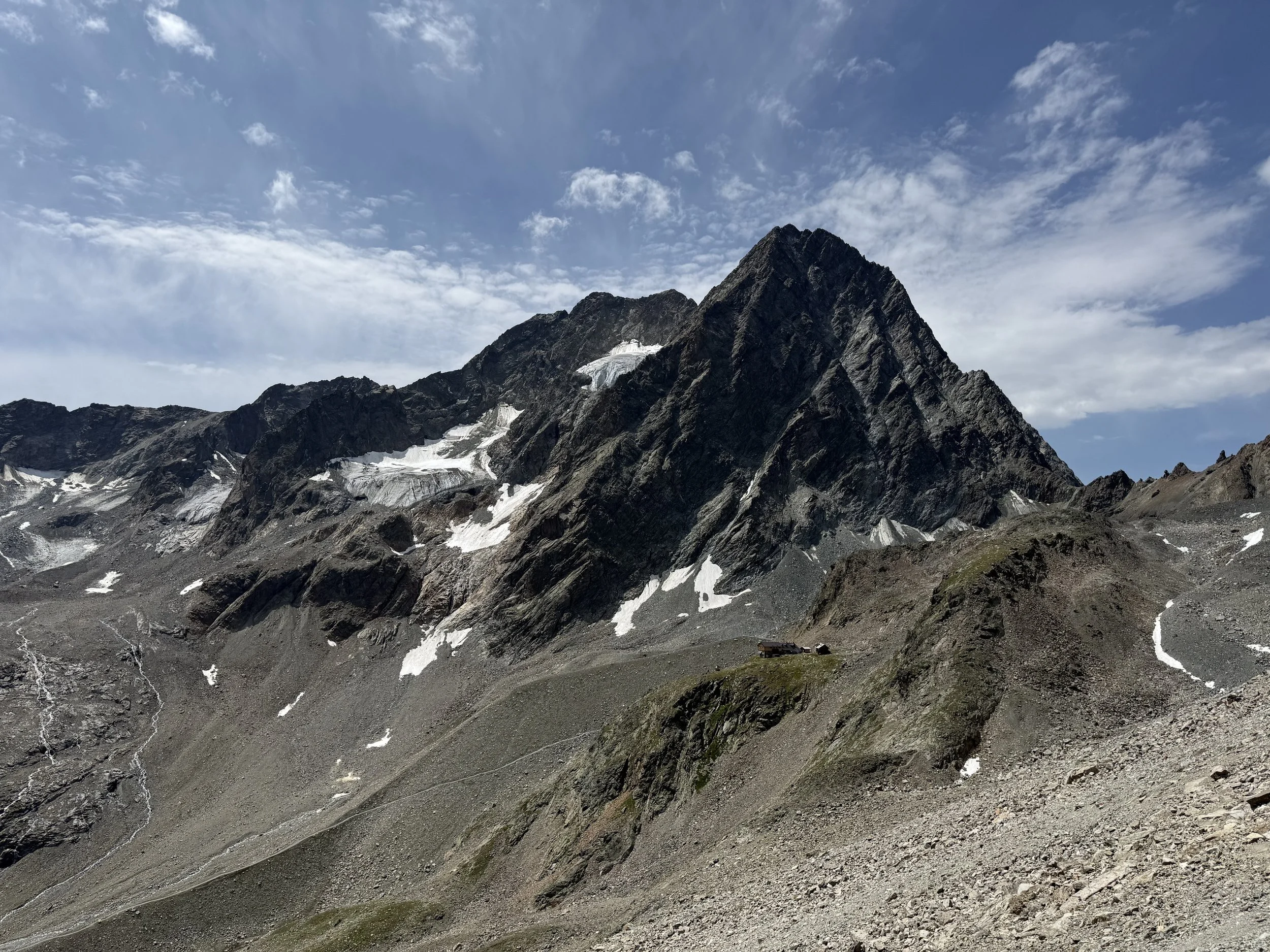
We retrace our steps from the summit back to the turn off at the trail. We continue down the valley to the Kaunergrathütte, a great spot to take a break and stop for some food/drink (bring cash). We take the trail traversing north-east from the hut towards Parstleswand. We follow it all the way over the saddle and descend down the other side towards Mainzer See.
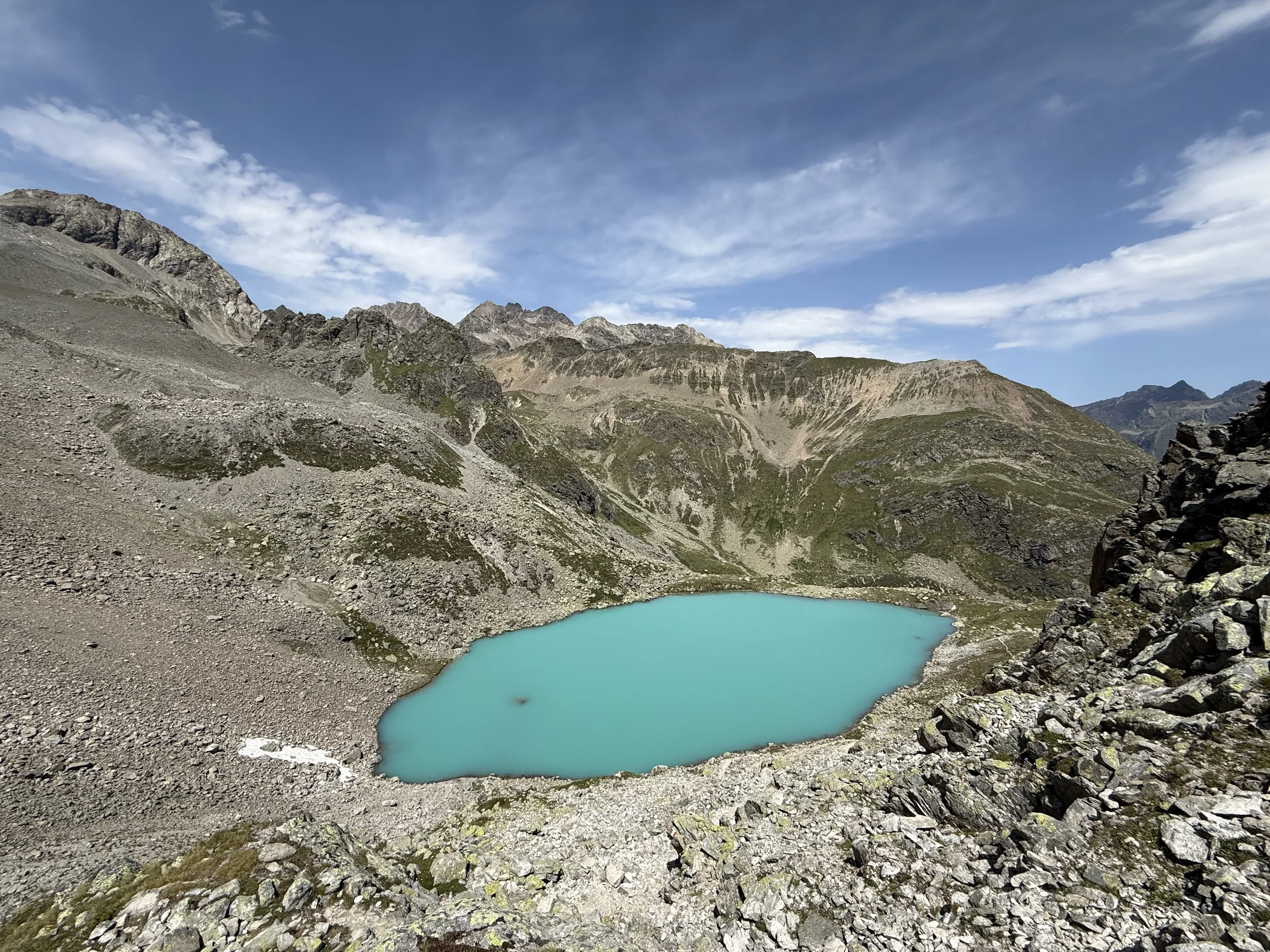
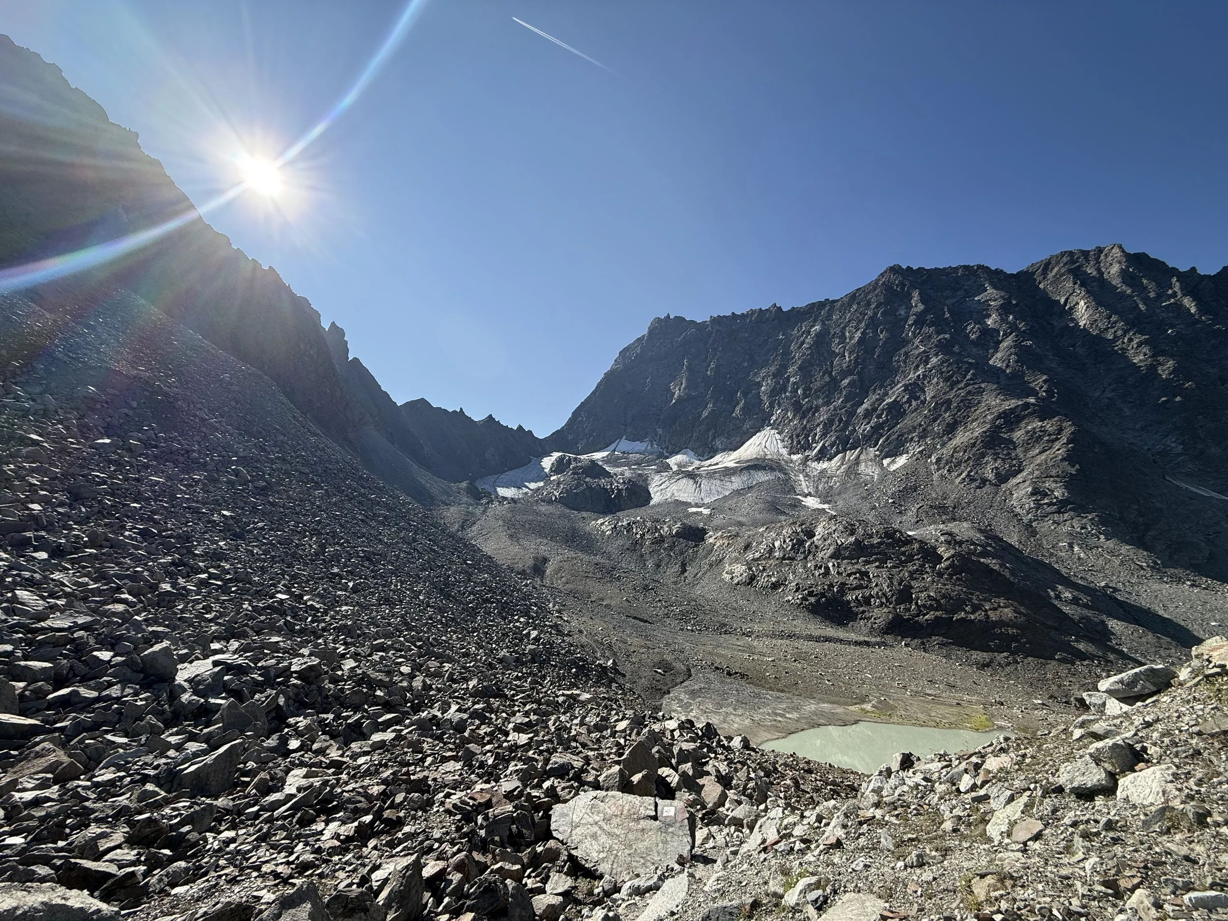
After the lake, we start ascending again over another ridge heading north and descend again towards a beautifully colored Mittelbergsee. From the lake, we start ascending again up the valley north-west. There are generally very few people on this section and we can enjoy ascending through diminishing glaciers and rocky valleys, increasingly steeply towards Verpeiljoch at 2830m.
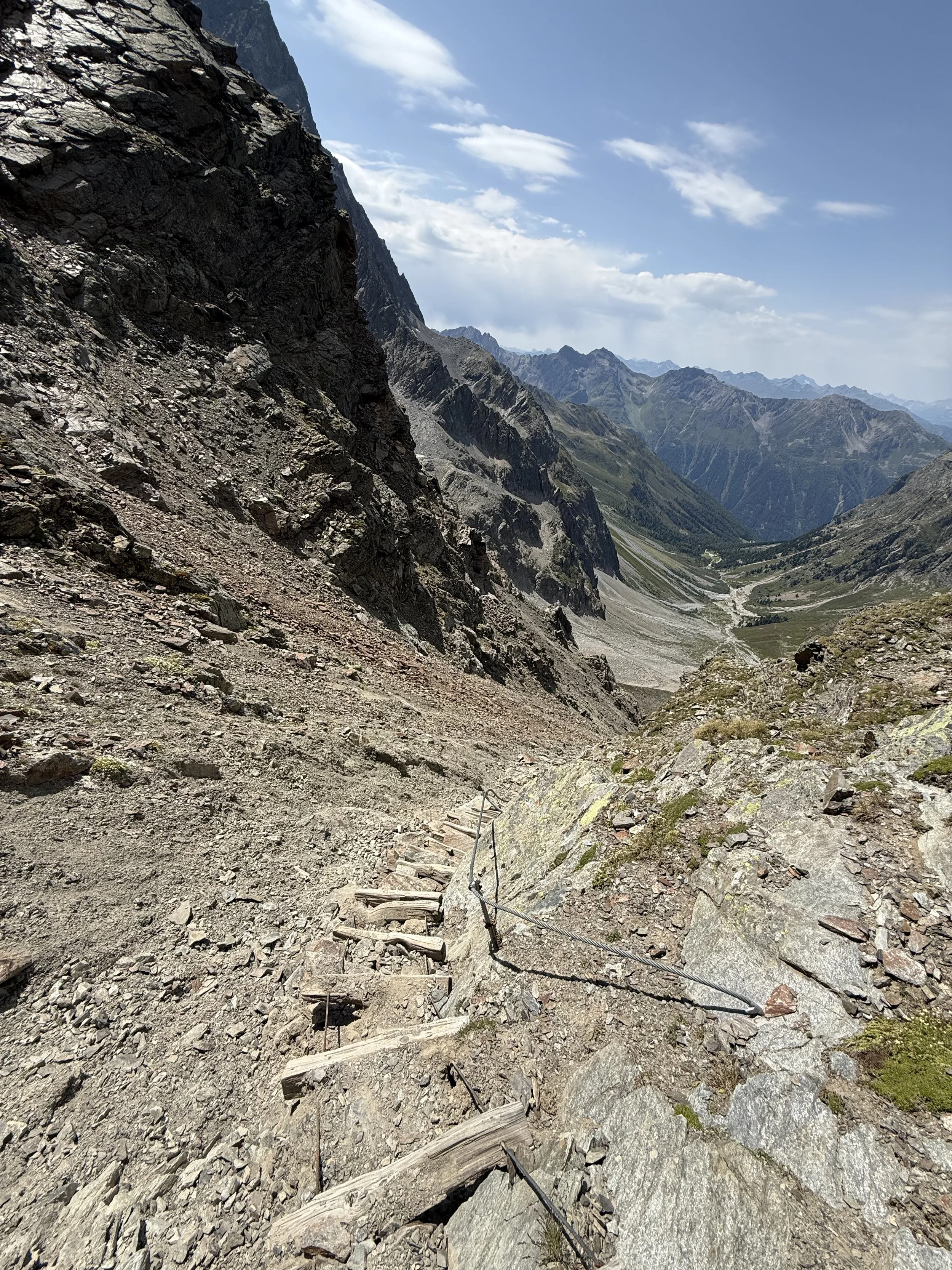
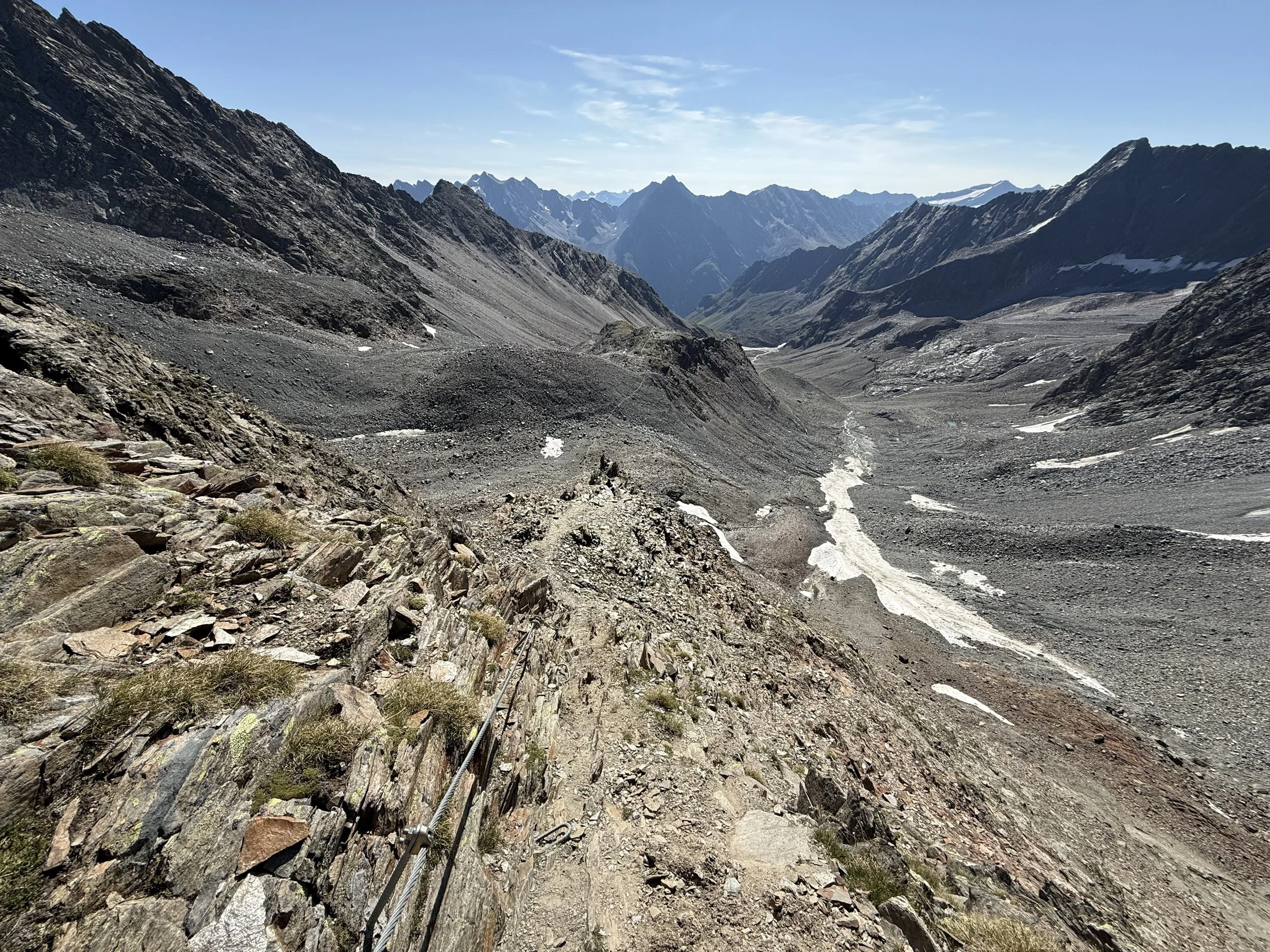
We can already see our finish line in the distance. Before that, we have to manage the last very steep descent. It follows a very loose ground but it is well fixated with ropes on the side of the rock. After getting through the steep scree fields the valley flattens out and leads us through a bunch of cows, horses and alpacas back towards the Verpeilhütte. From here we just backtrace our steps back to the car.
Photos by @the.running.nomad