Pfeisspitze (2345m) Round
Technical difficulty: 8/10
Fitness: 6/10
Objective danger: 8/10
Landscape: 8/10
Busy: 7/10
A vertical loop above Innsbruck with lots of technical terrain and amazing views.
Starting point: Thaurer Alm Parkplatz
Ending point: Thaurer Alm Parkplatz
Length: 13.5km
Vertical: 1700m
Speed: runnable on first and last third. technical scrambling on the ridge.
Route:
We start heading uphill from the parking lot on the Mataunweg following the GPS track and the signs to Thaurer Rosskopf. The trail name changes to Rudolf Gaspert Steig but continues to climbing uphill. We briefly join the forest road leading up to Thaurer Alm, before turning off to the forest and continue climbing uphill. We join the forest road again shortly before the Thaurer Rosskopf.
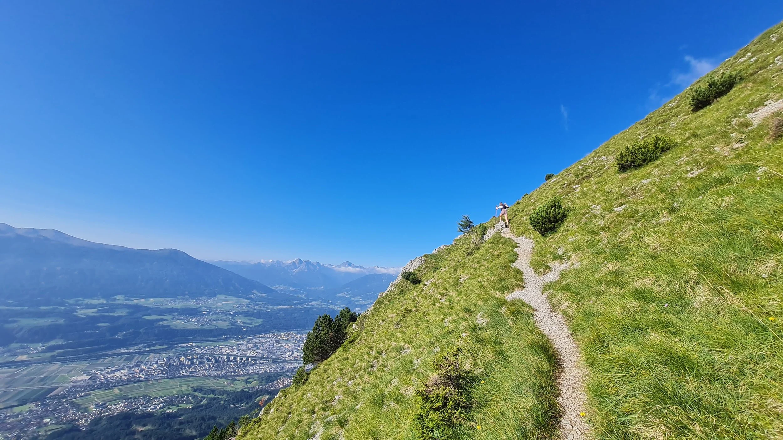
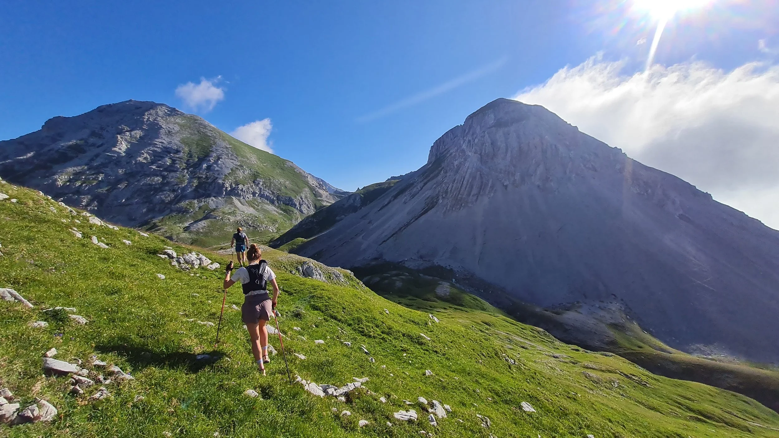
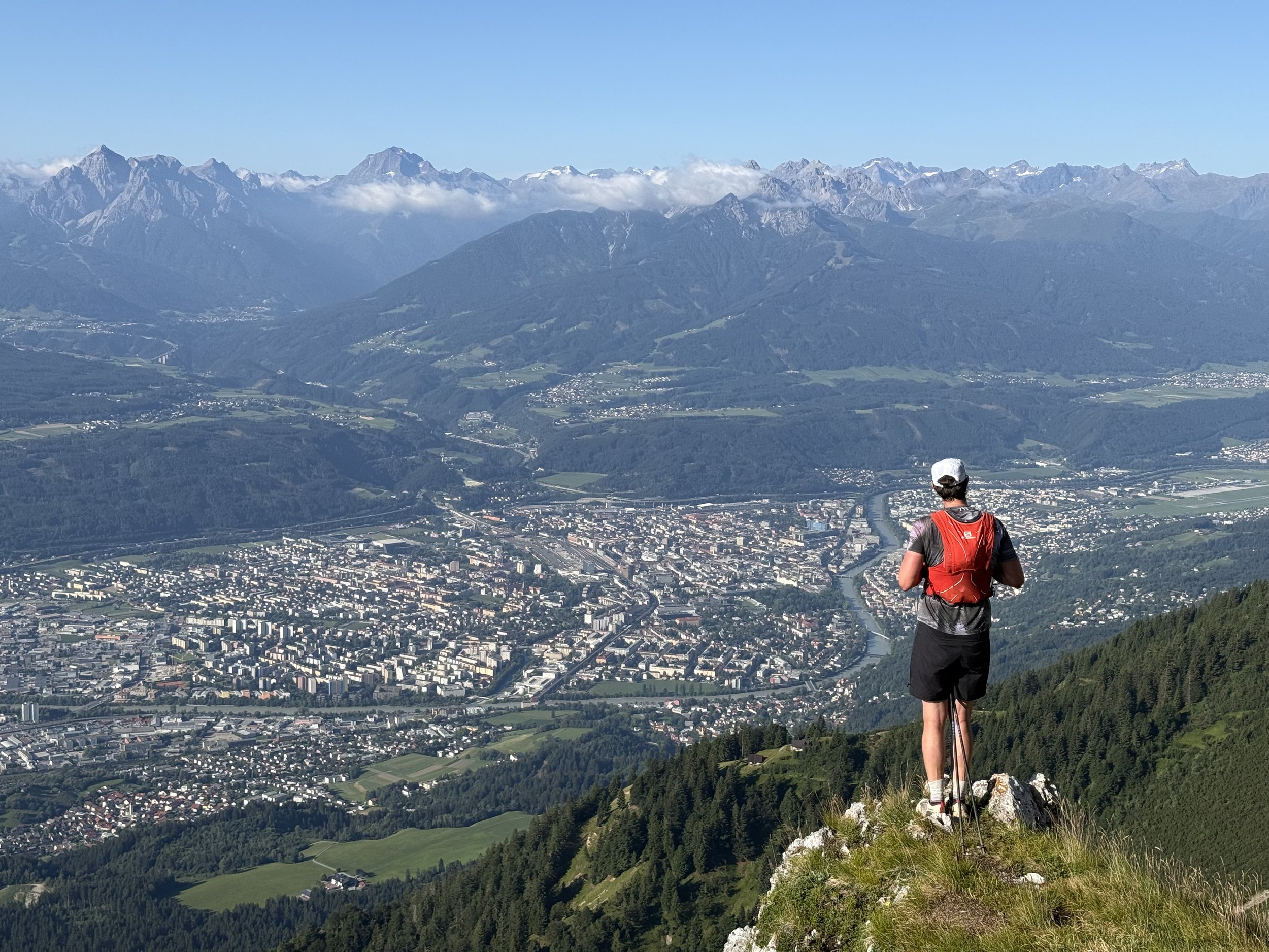
We continue to climb steeply uphill, now following the Fritz-Gostner-Steig. The navigation is really easy. We soon get out of the forest and follow the trail into a very clear saddle between Rumer Spitze on the left and Pfeisspitze on the right. The trail flattens out a bit before reaching the saddle. We can do a short side-quest to the cross at Kreuzjochl, offering great views over Innsbruck bellow with the Stubai Alps in the background.
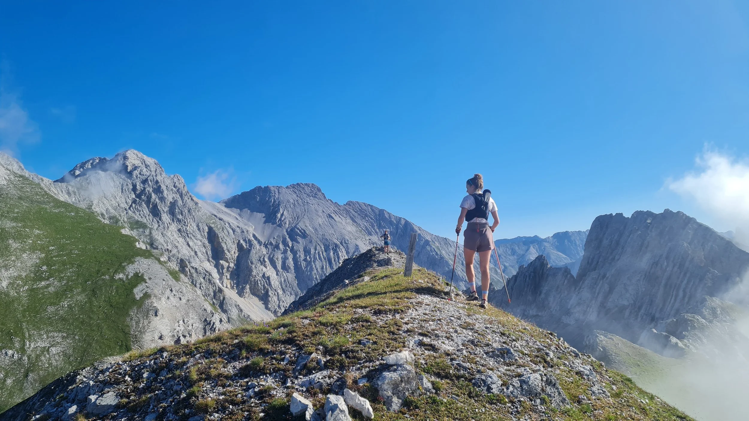
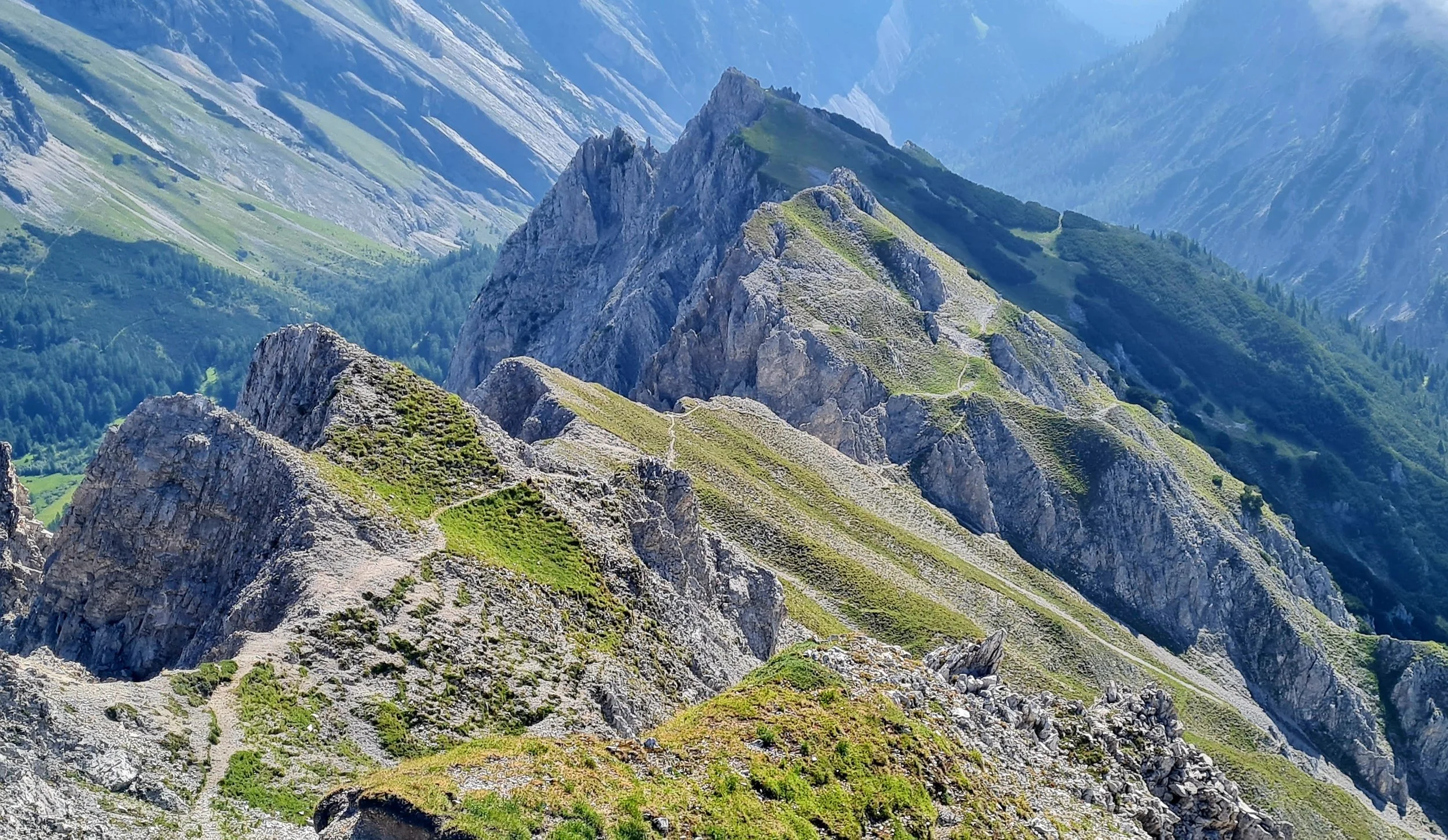
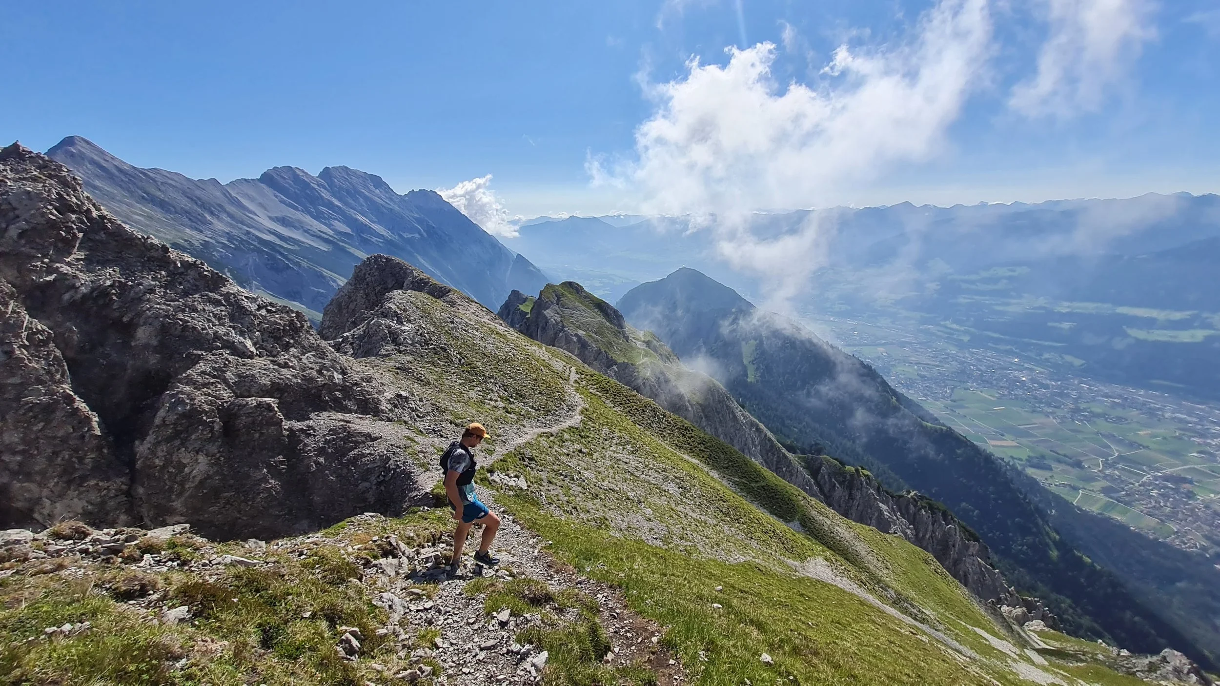
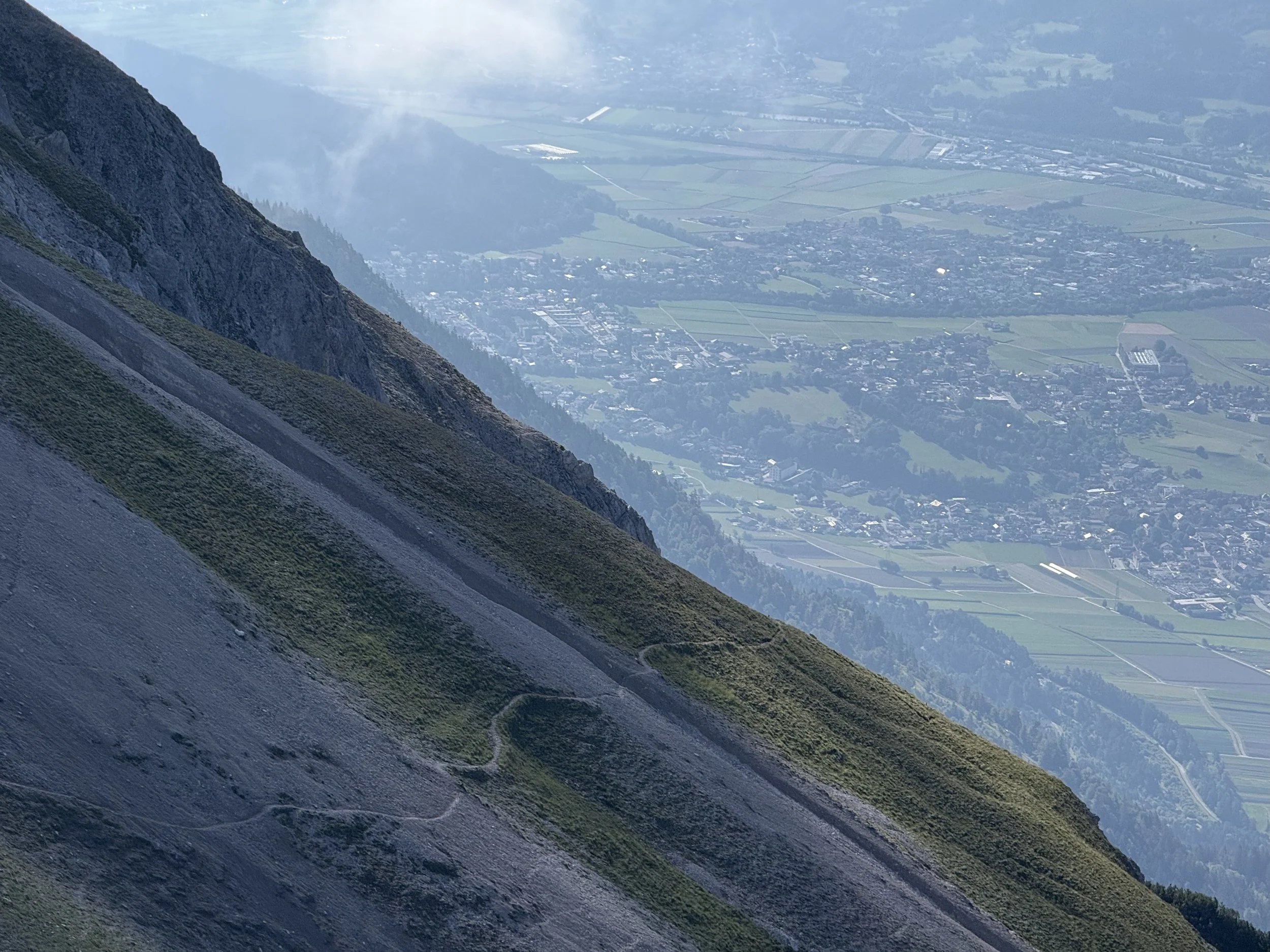
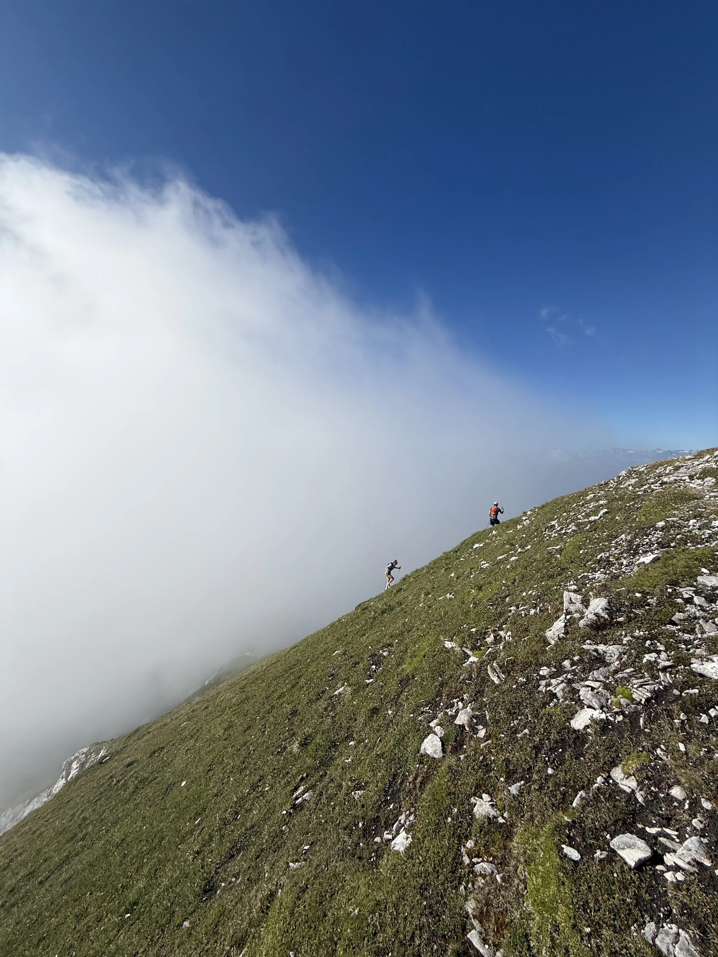
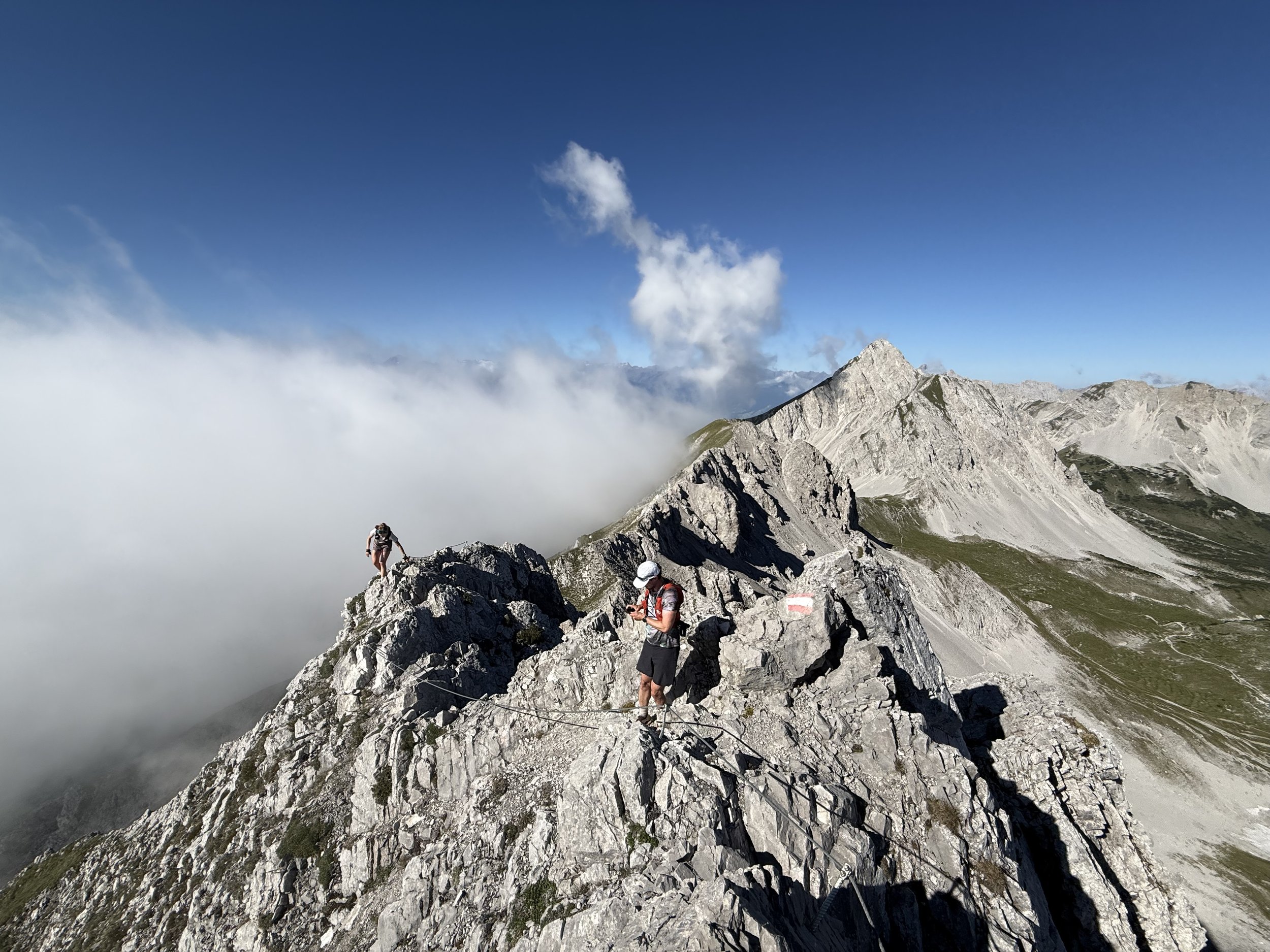
From here, the technical ridge starts out. The trail gets smaller and ascends through the scree slopes on the south side of the mountain, before ascending on the south ridge steeply up towards the first summit of Thaurer Jochspitze (2309m). We got luck and saw some capricorns before the ridge, enjoying their peace. We continue along the technical ridge, through a small saddle and climb up some exposed terrain to the summit of Pfeisspitze (2345m). The views are great all around, to the Inn valley to the north and Karwendel mountains in the south, with Nordkette ridge spreading west and east of us.
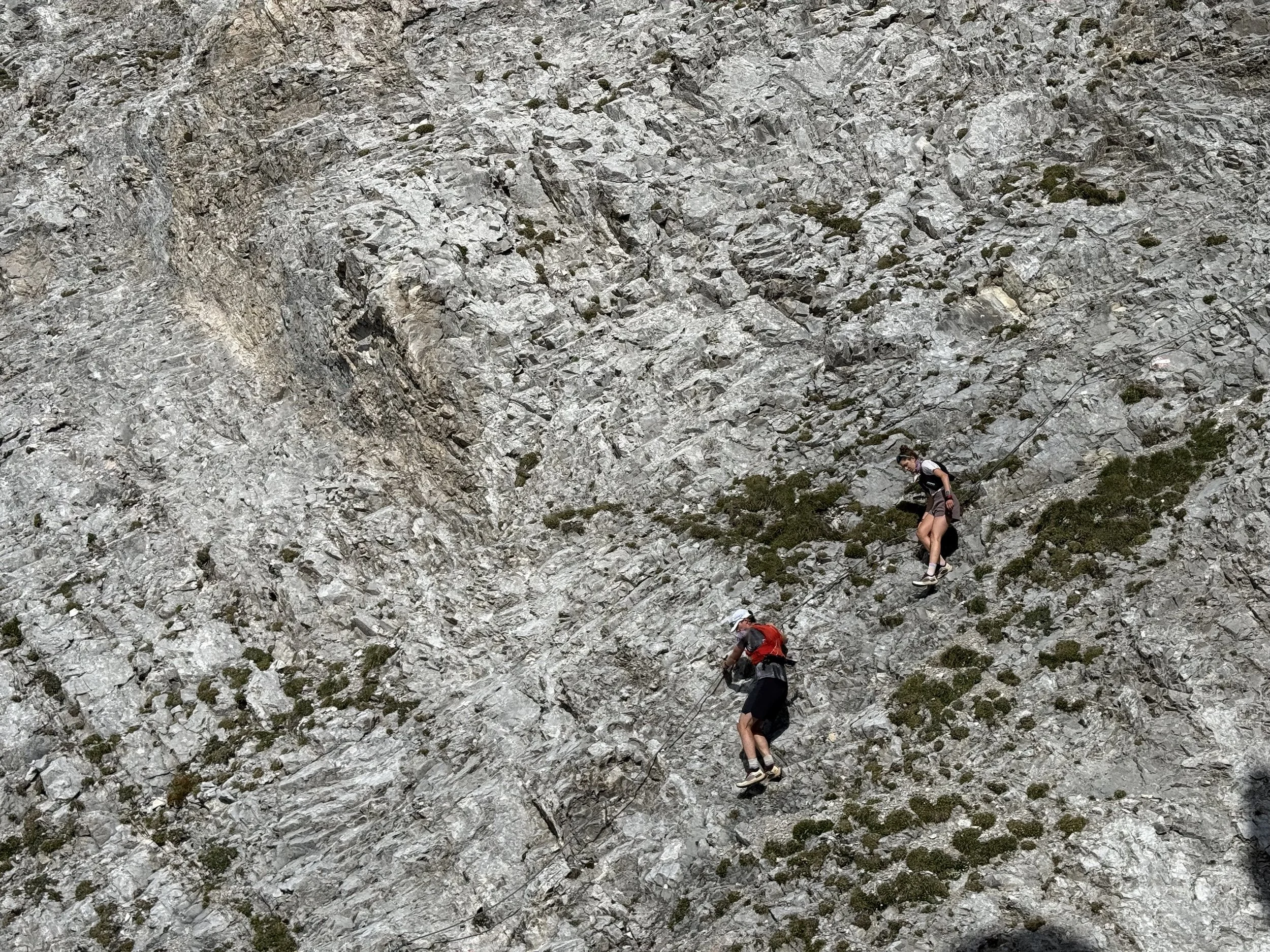
The most technical part of the ridge is still in front of us. We downclimb and traverse through some fixed ropes with a lot of exposure and eventually reach the next summit on the ridge - Lattenspitze (2330m). The trail gets a little less exposed but still remains technical, following the ridge further east. We can do another short side-quest to the summit of Wildengerspitze (2153m).
From here the long descent back down awaits us. We get from exposed alpine meadows, through low shrub back to entering the forest. We pass the Törl saddle and steeply descent through some cow pastures before reaching a wide trail leading back to Thaurer Alm. Here is a good place to stop for some food or drink if you feel like it.
The way down from the hut is easy. Either follow the forest road or use the numerous shortcuts on the trail through the forest. We are back at our car in no time.
Photos by @the.running.nomad, @bennibru and @isale04