Sudetendeutscher Höhenweg with Blauspitze (2575 m) and Rotenkogel (2762m)
Technical difficulty: 8/10 (6/10 if you skip Rotenkogel west ridge)
Fitness: 8/10
Objective danger: 6/10
Landscape: 8/10
Busy: 3/10 (7/10 in ski resort)
A highly varied loop through the southern part of the Granatspitz Group with fantastic views.
guest post by @bennibru
Starting point: Parkplatz Glanz
Ending point: Parkplatz Glanz
Length: 32km
Vertical: 2500m
Speed: Despite the alpine terrain, there are plenty of runnable, though often exposed, sections. The descent from Rotenkogel is very technical.
Route:
Located between the Venediger and Glockner Groups, the Granatspitz Group may not feature the very highest peaks of the Hohe Tauern, but it offers an incredibly varied landscape and excellent access from both the Matrei and Kals sides. On this physically demanding loop, we cross secluded valleys, rocky alpine terrain, steep grassy slopes, popular hiking areas and idyllic mountain villages. The technically most difficult section can also be bypassed.
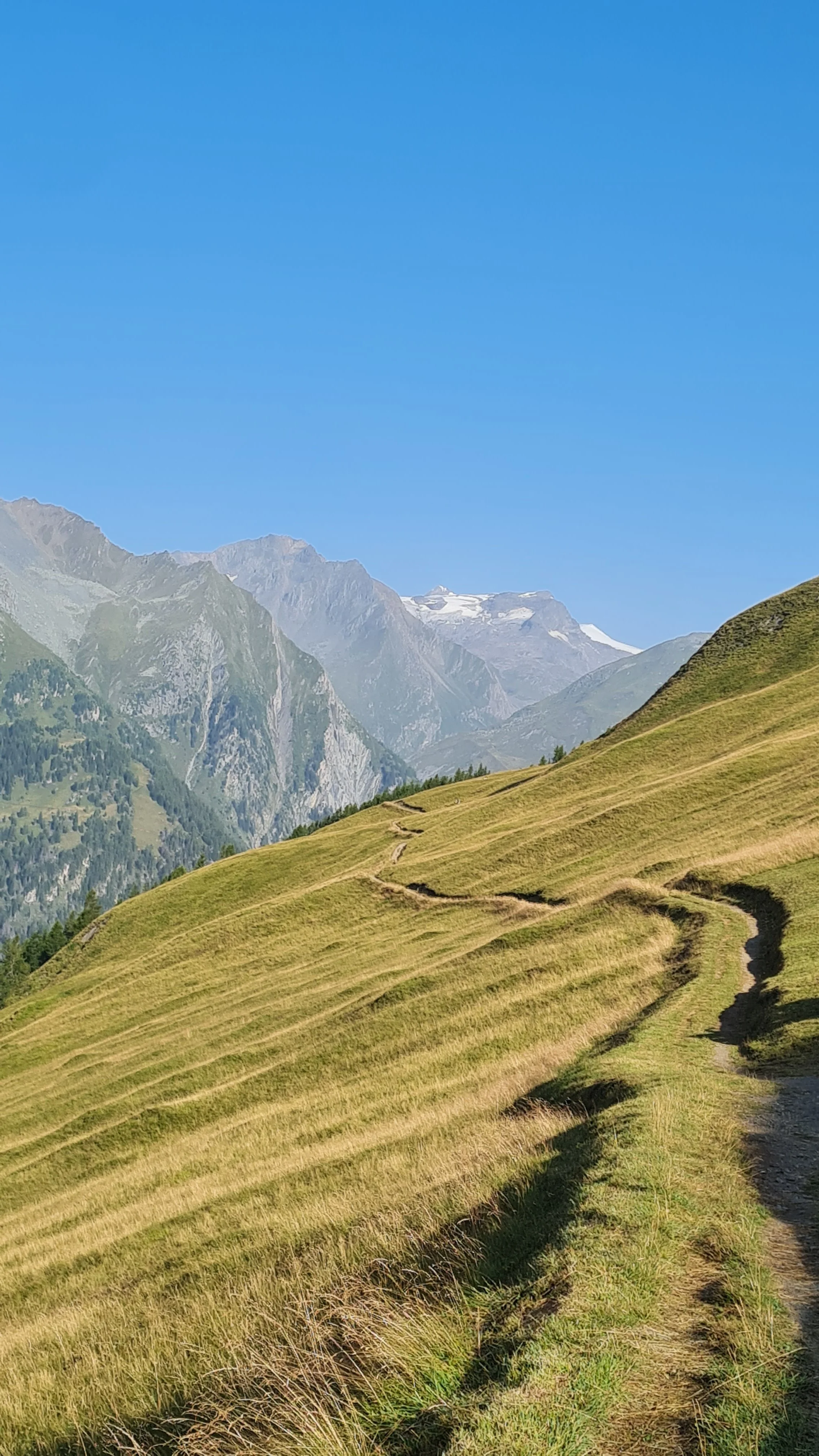
We start our tour at the hiking parking lot above the Matrei district of Glanz at just over 1500 m. This is not the lowest point of the route, meaning that at the end of the loop you will have to climb another 250 vertical meters to return to the starting point. We follow the trail towards Äußere Steiner Alm, crossing forest roads several times, and continue past several beautifully situated alpine huts to a fountain. The trail narrows as we run across the wonderfully open meadows of the Edelweißwiese, with views stretching all the way to the Großvenediger.
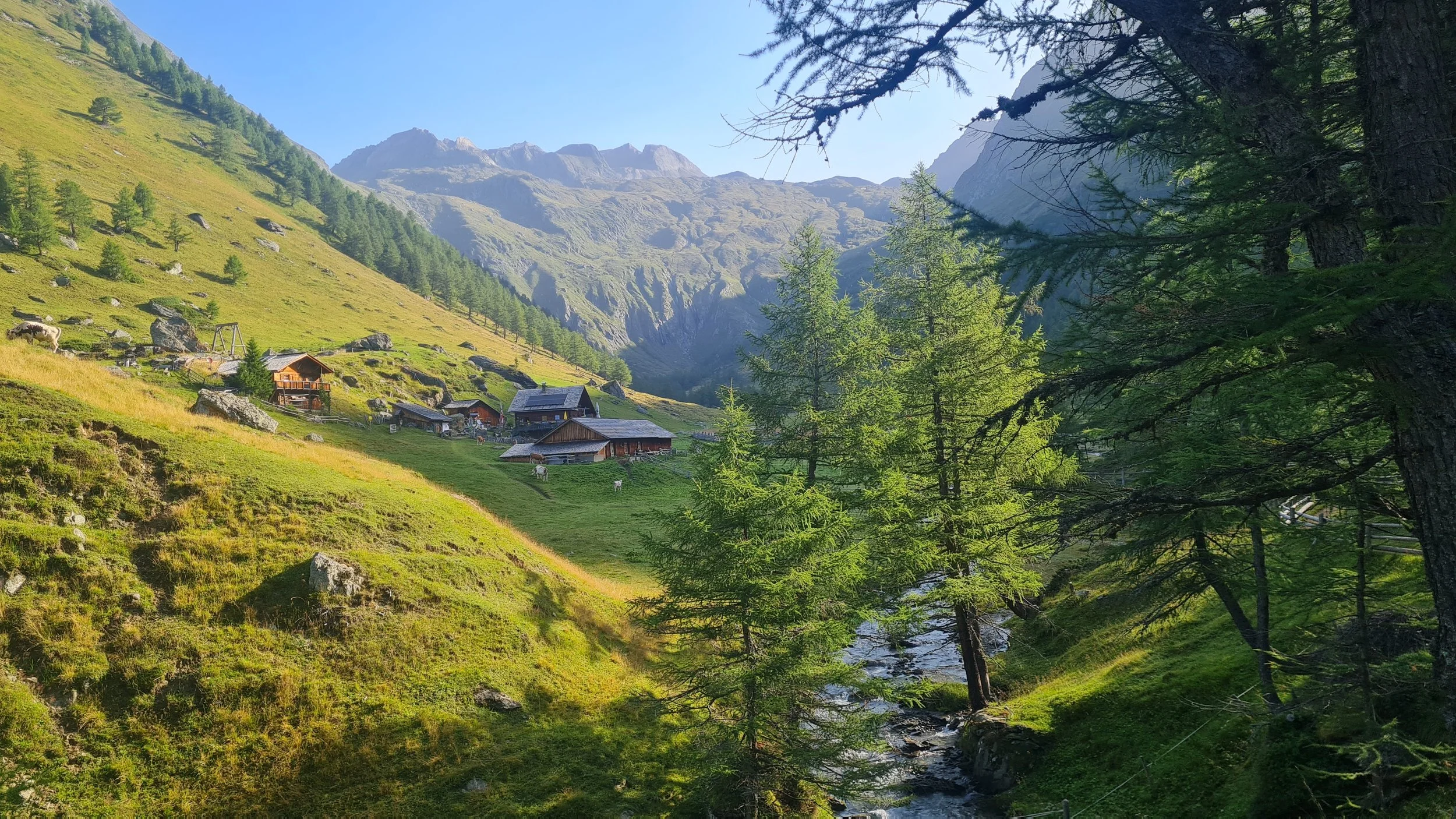
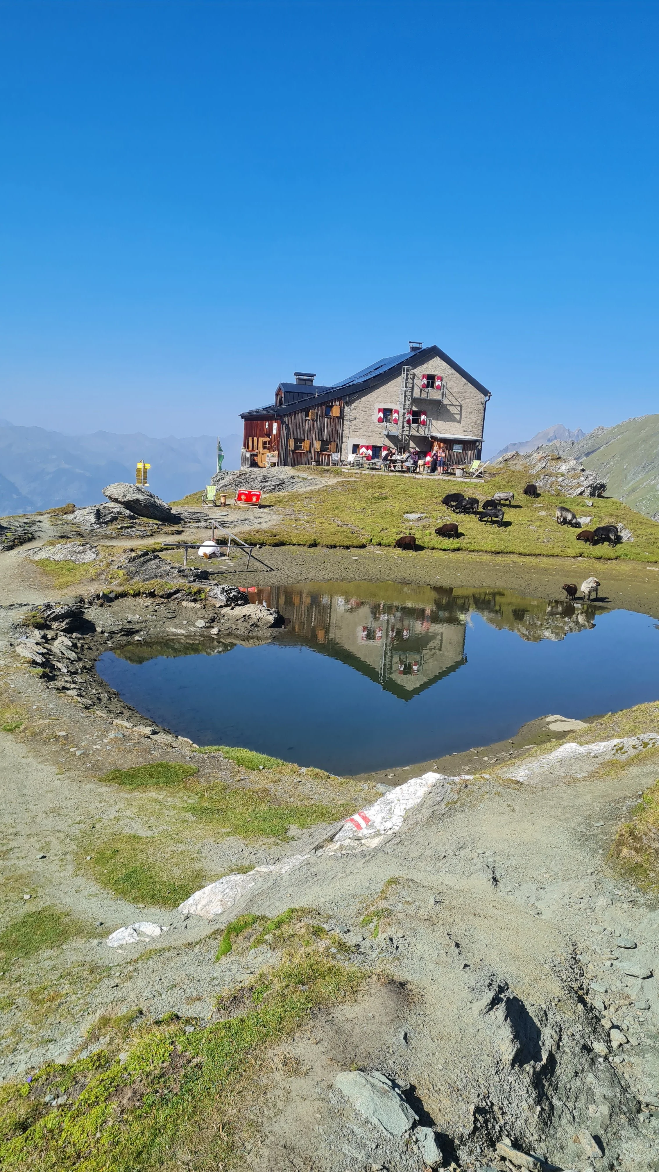
After the meadow, we turn right onto a trail that briefly descends into the forest. Here we fully enter the wilderness of the Hohe Tauern, although there are no technical difficulties yet. Passing the beautifully situated Äußere Steiner Alm – or rather running straight through it – we follow the valley floor at a very gentle gradient. From the head of the valley, the trail winds its way uphill through varied terrain before things become somewhat gentler shortly at the top of the climb. Passing through herds of sheep, we eventually reach the lovingly run Sudetendeutsche Hütte and its small “house lake” at 2650 m.
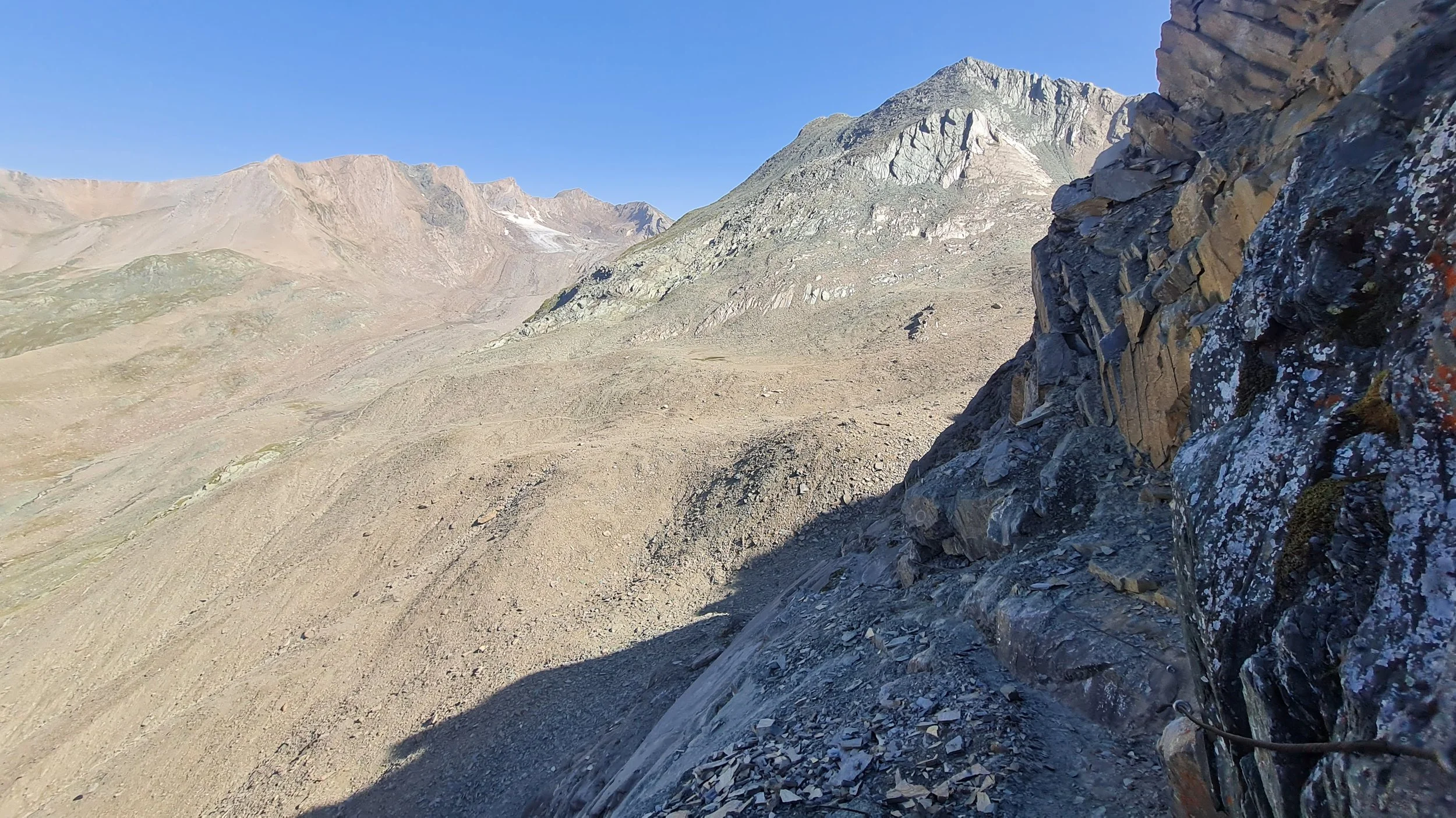
After an optional short break at the hut, both the terrain and our direction change. We now follow the Sudetendeutscher Höhenweg, initially heading east before gradually turning south. Across relatively flat terrain now shaped entirely by rock, we pass several junctions – including the option of adding the 3063 m Gradötzkogel – before reaching a technical but cable-protected section leading up to the Dürrenfeldscharte.
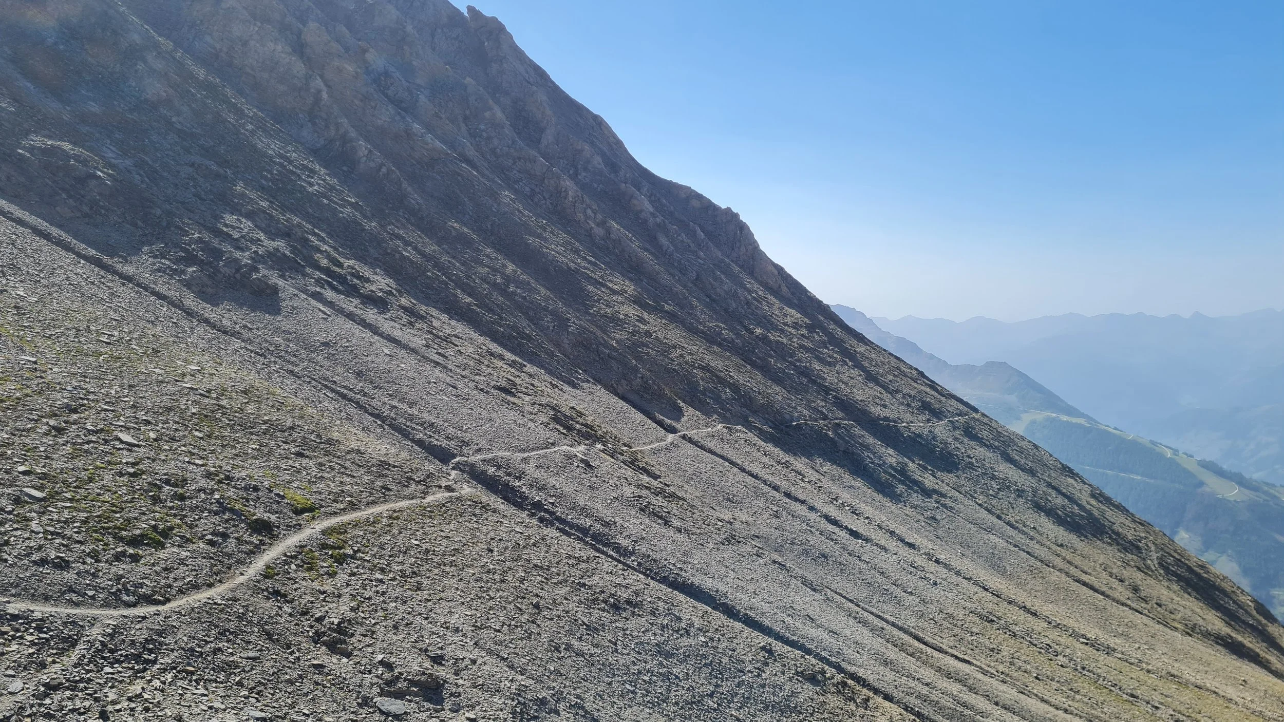
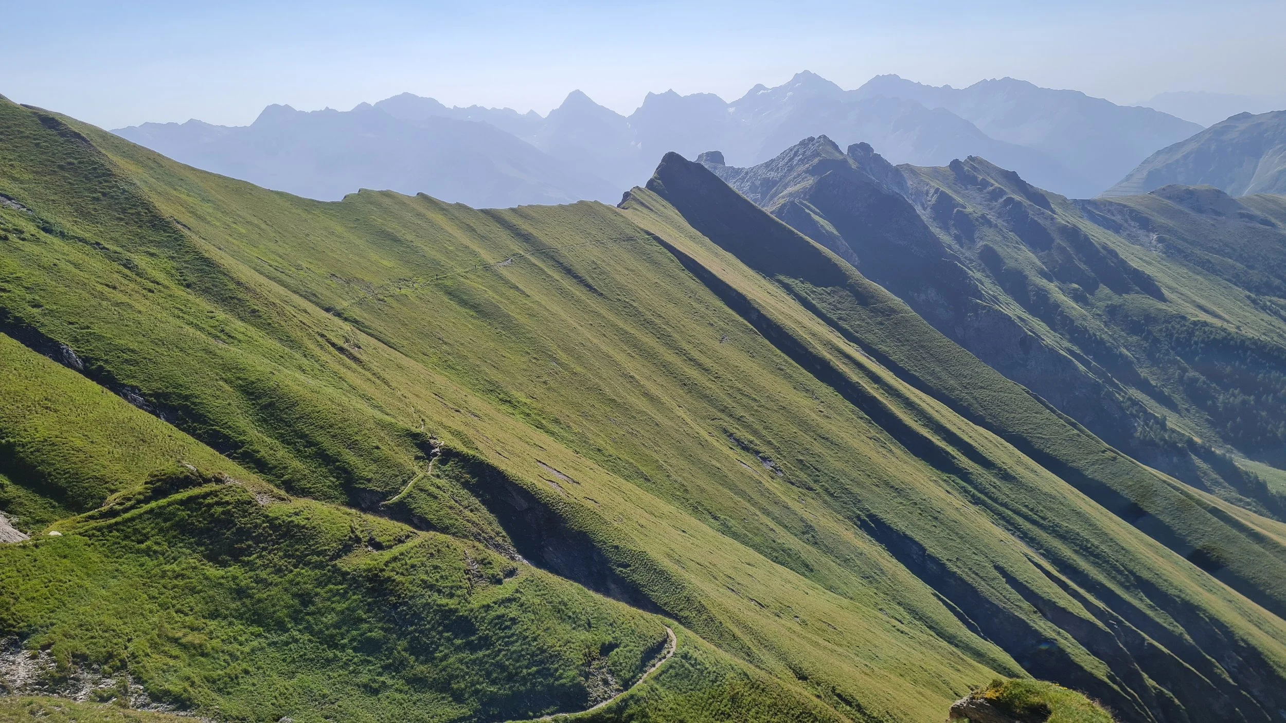
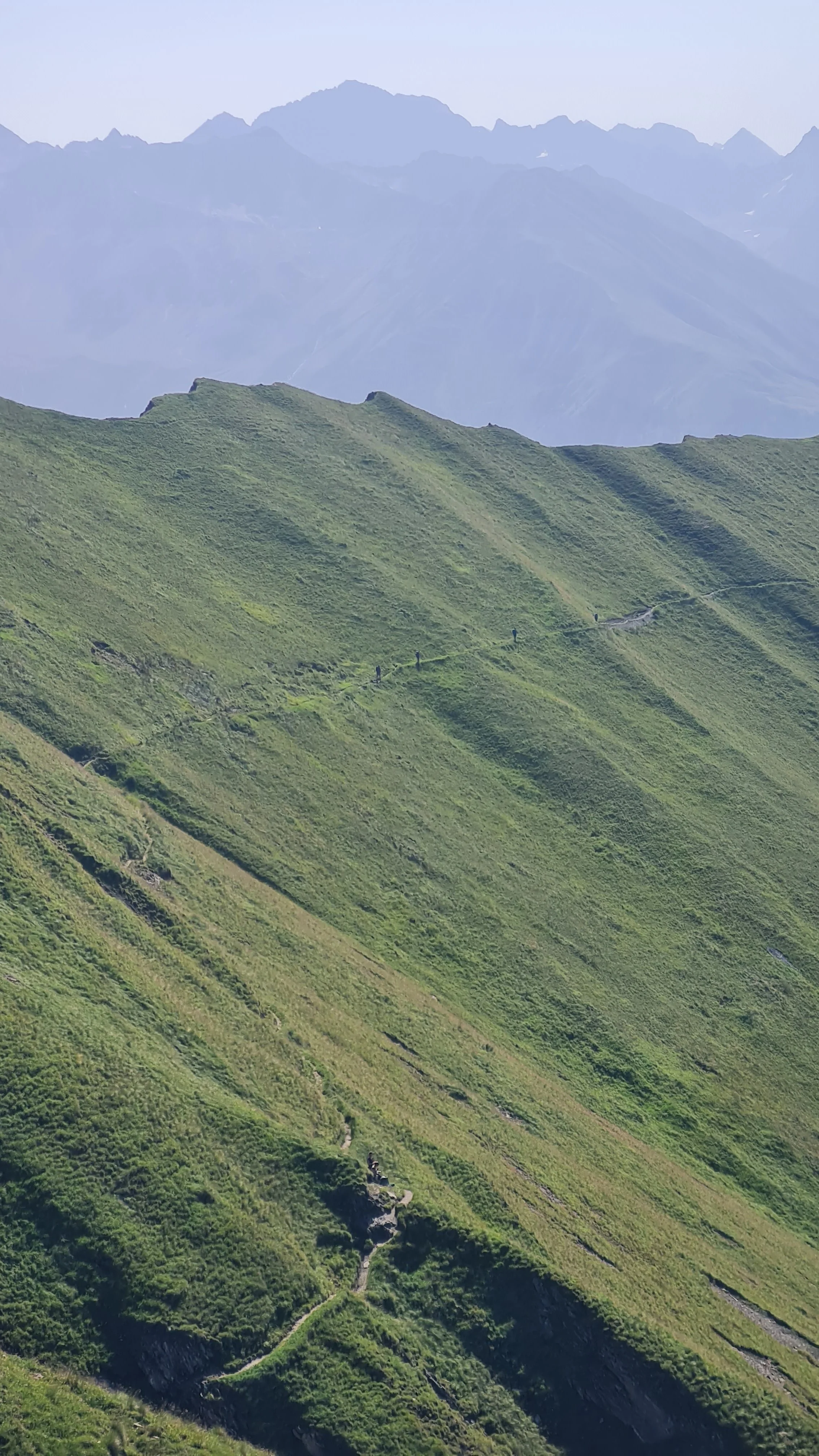
From here – with another possible side quest to the 3085 m Vordere Kendlspitze the terrain becomes quite runnable, and the next few kilometers are a real pleasure. As the landscape turns greener again, the slopes also become steeper. The section through the grassy slopes towards the Hohe Törl is absolutely beautiful, but the trail is narrow and exposed, so particular care is required when passing hikers or in wet conditions.
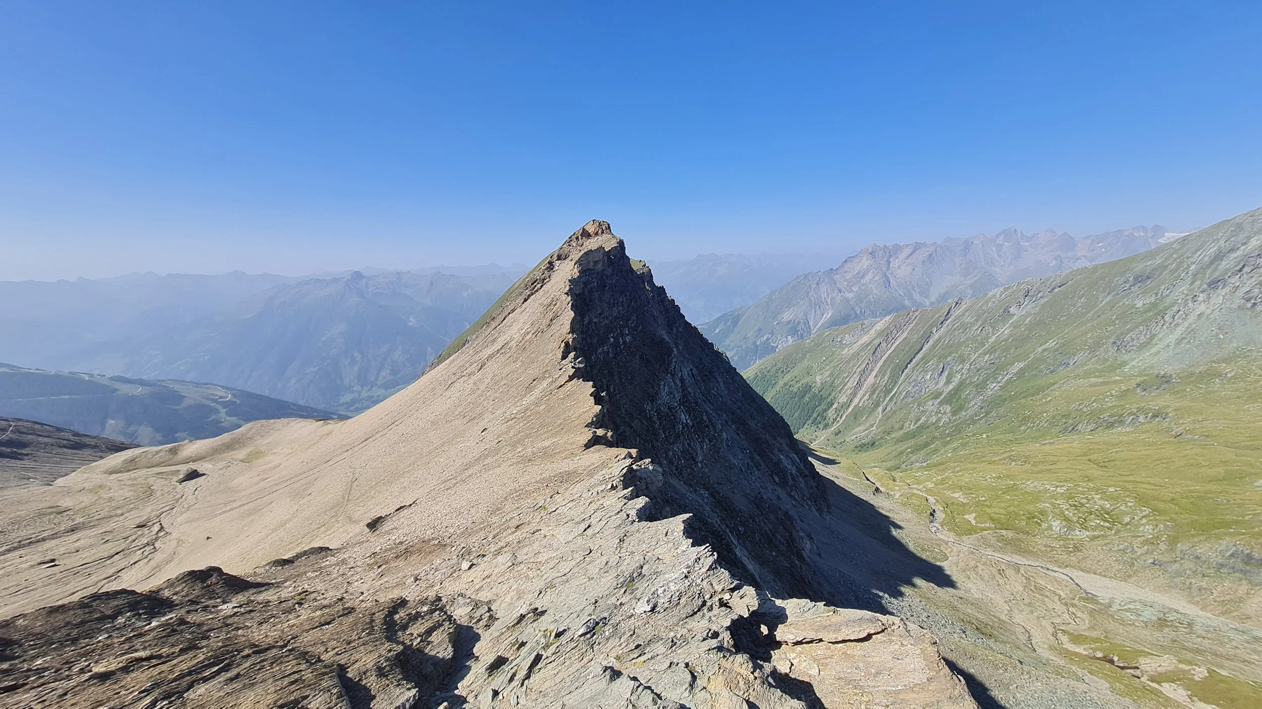
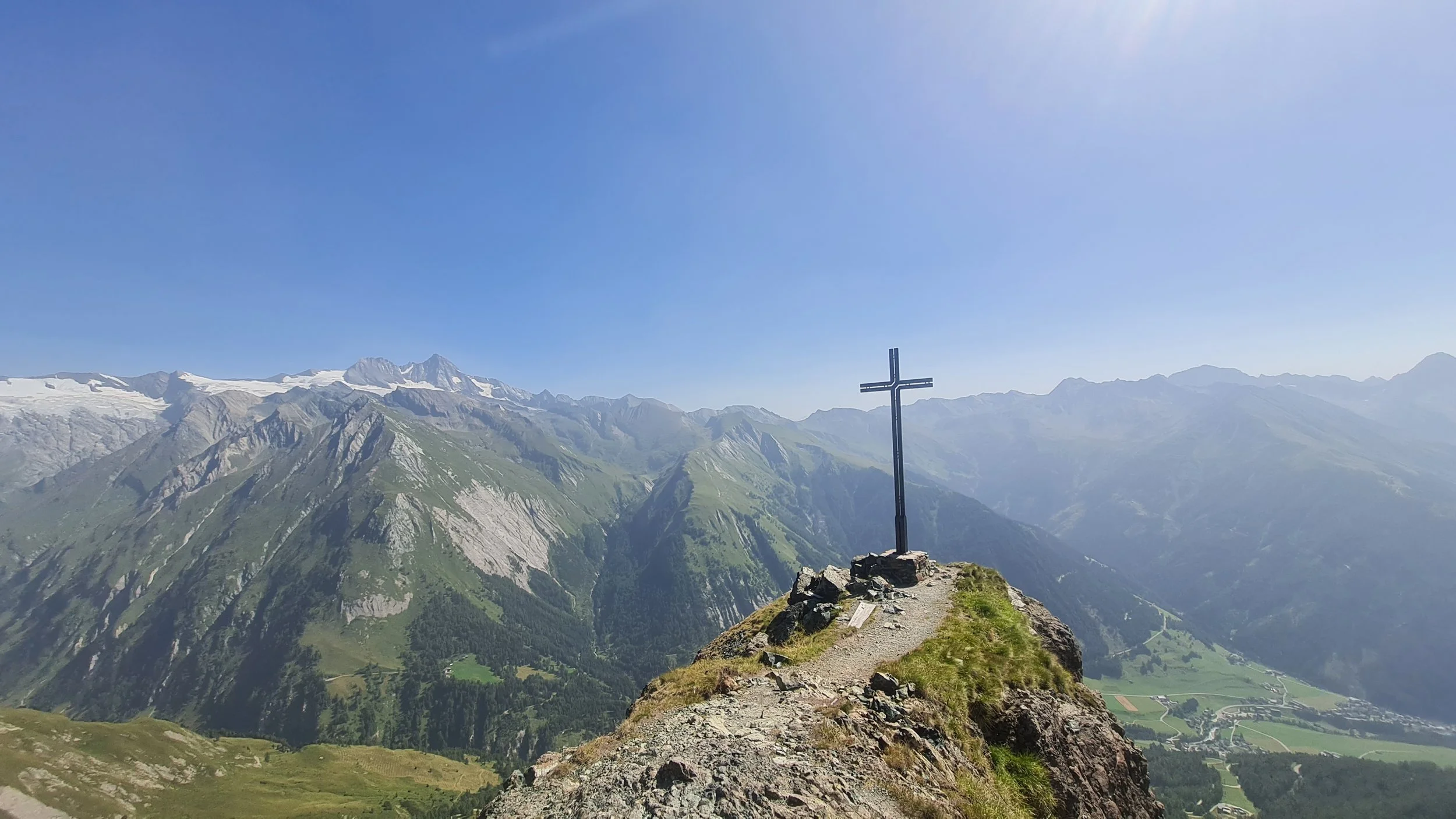
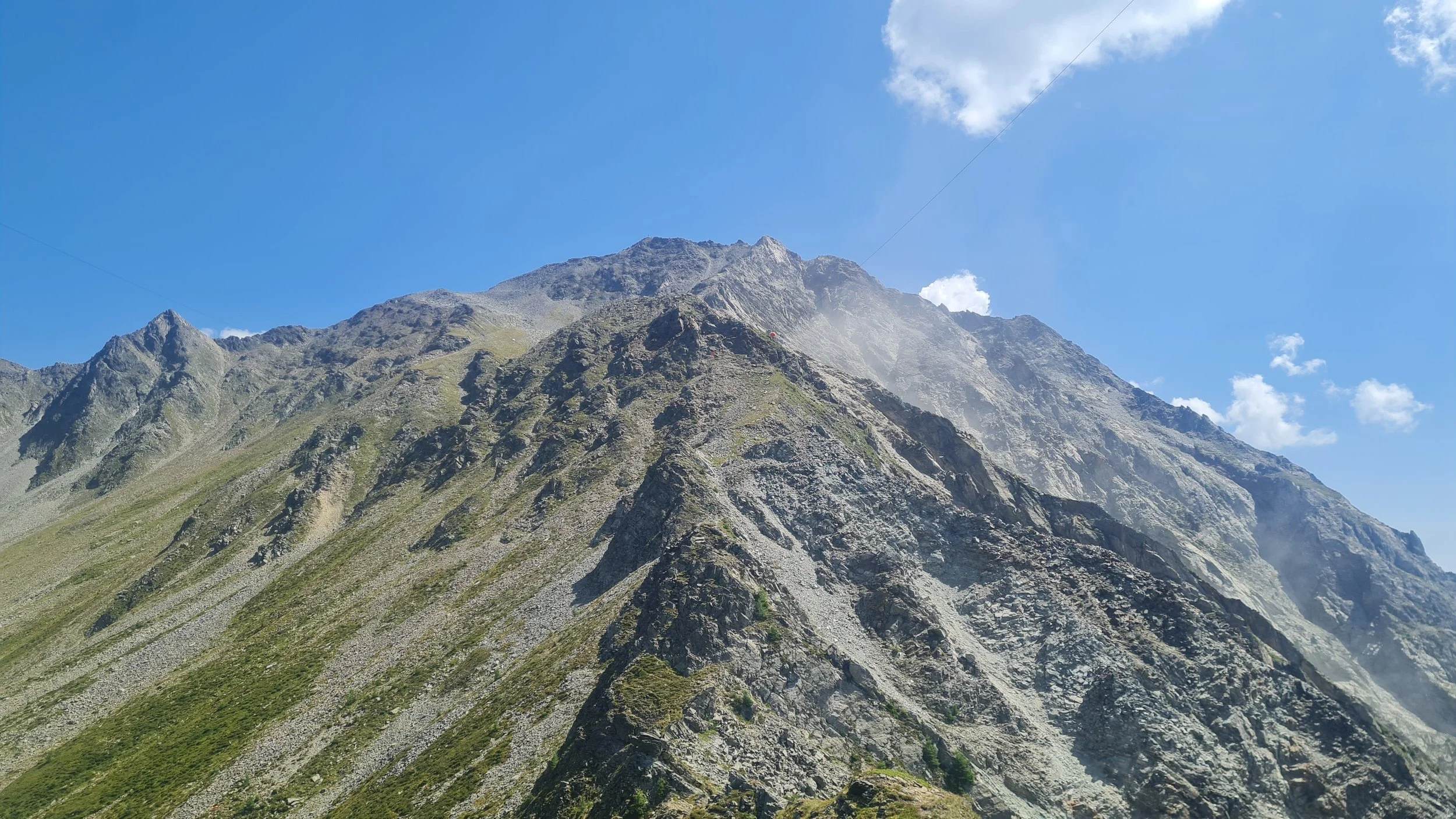
At the Hohe Törl, the Höhenweg becomes more technical on its western side, while we switch to the eastern side and aim for the rocky peak of the Blauspitze (2575 m) as our next objective. While traversing beneath its northern slope and climbing up along the north ridge, it quickly becomes clear where the mountain gets its name – striking blue-green rock accompanies us to the summit ridge, where the summit cross offers a sensational view of the Großglockner almost directly opposite.
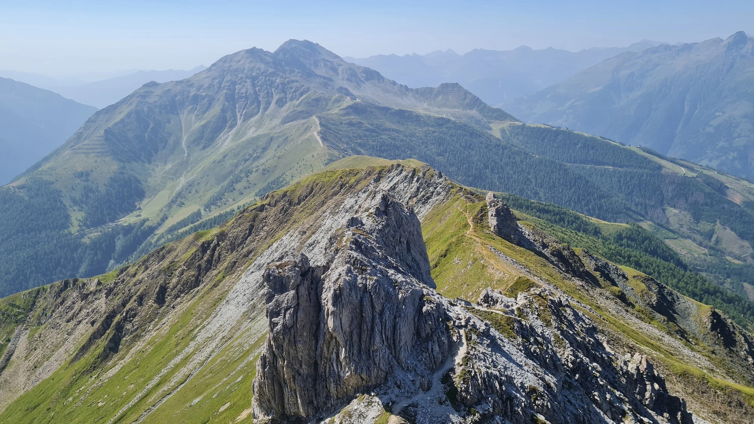
We continue along the ridge through a few short technical sections, crossing the Blauer Knopf and passing the Weißer Knopf – a brief touch of Dolomites feeling, named after its light-colored rock – before reaching easier terrain at the Ganotzkogel. Along the gentle ridge, we enjoy flowy trails downhill while the mountain gradually becomes more crowded. No surprise – we are now entering the GG Resort ski area, with lifts from both the Kals and Matrei sides, which also marks the end of the Sudetendeutscher Höhenweg. If you are looking for a refreshment stop here, the rustic Kals-Matreier-Törl Haus is the better choice. After the impressions of the tour so far, the Cimaroßbahn mountain station and Adler Lounge almost come as a culture shock.
We try to leave the crowds behind as quickly as possible and join the busy ascent towards Rotenkogel, the summit highlight of our tour. From the mountain station it is only a short hike, but after starting almost 20 km earlier, the additional 400 vertical meters to the summit are beginning to make themselves felt. Passing the rather inconspicuous summit of the Gorner and a few cable-protected sections, we soon reach the Rotenkogel.
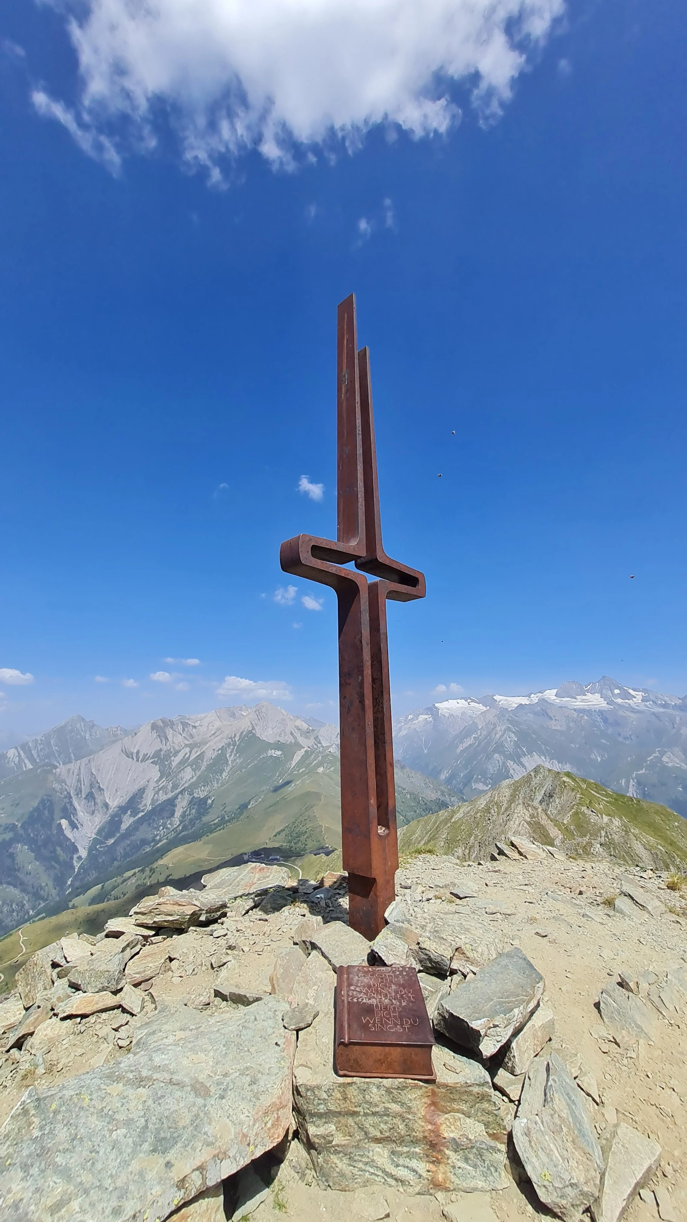
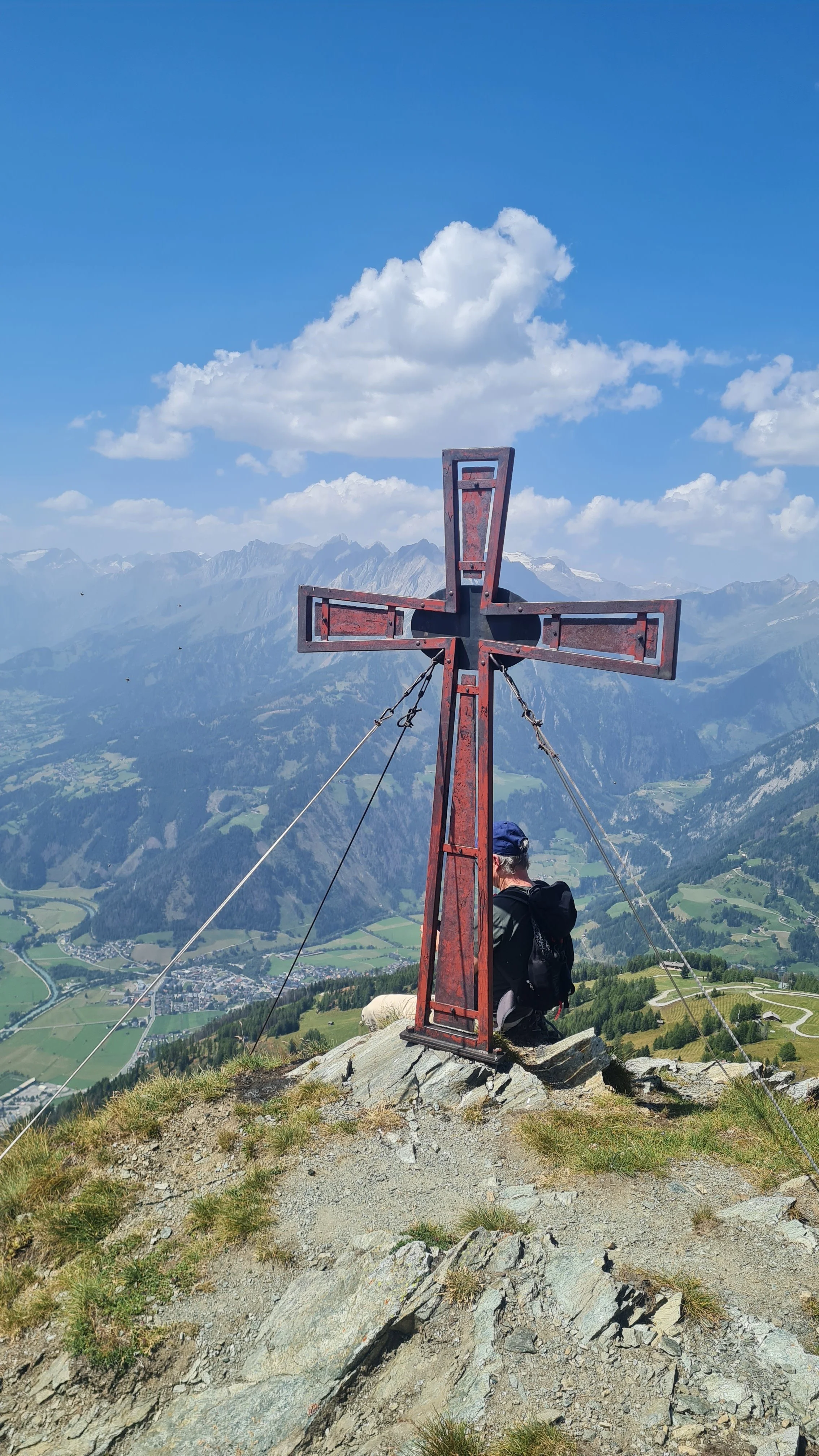
It is worth making the short off-trail detour to the slightly higher “fore-summit”, which also provides a great view towards the beautiful summit cross of the Rotenkogel (2762 m), designed to resemble a tuning fork. Thanks to its central position at the end of the Granatspitz Group, the Rotenkogel is an outstanding viewpoint. In addition to the ever-present Großglockner, we now enjoy front-row views south across the Isel valley.
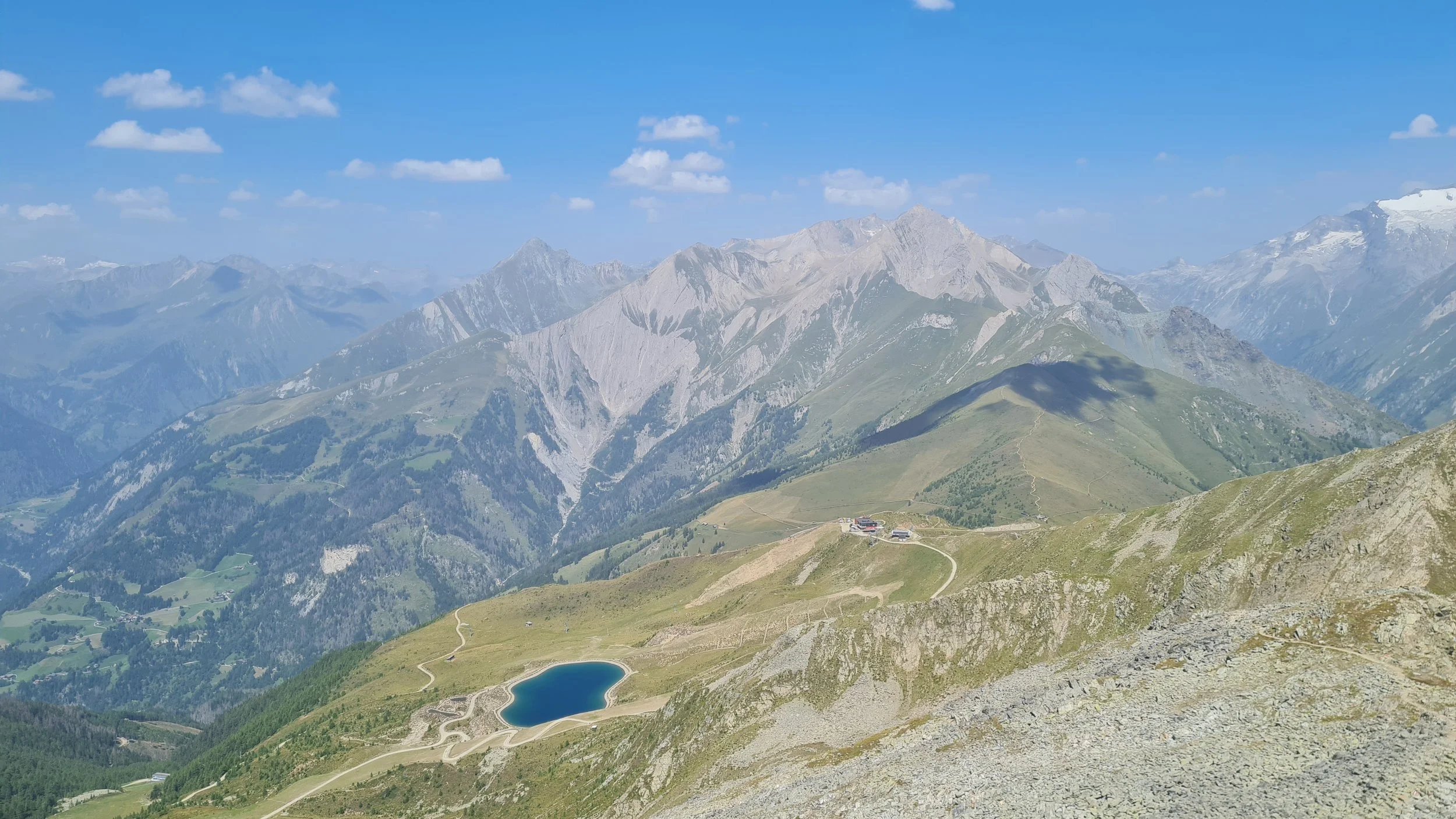
The descent via the (north-)west ridge of the Rotenkogel is the technically most difficult and at times not particularly pleasant part of the tour. Anyone who has had enough adventure after several hours of trail running can simply follow the trail back to the cable car and then continue between the reservoir lakes towards the Goldried mountain station – of course, the Rotenkogel section can also be skipped entirely this way.
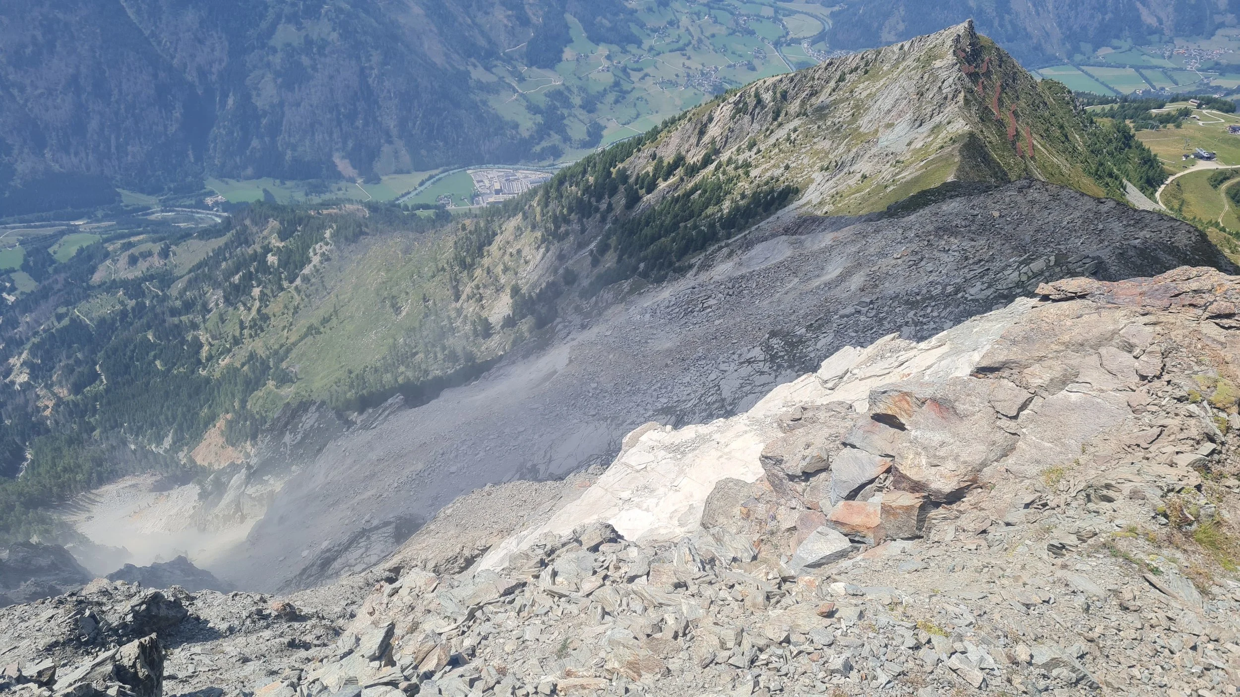
Those who still have the concentration for loose rock, easy scrambling and more challenging route-finding can follow the fairly direct ridge towards Bunköpfl. The beginning is still quite rocky and would generally allow for a straightforward technical descent directly along the ridge. However, there is an active rockfall zone on the southern flank towards the Mellitzgraben, which should be given a wide berth and appears to have already destroyed parts of the original descent trail.
As a result, it is sometimes necessary to move right into loose terrain, although easier grassy sections appear from about halfway down. A few easy downclimbing sections remain (T5 / UIAA I), the most difficult of which is equipped with a thick steel cable that is particularly useful on the descent.
We reach a saddle while the trail winds around small rock formations close to the rockfall zone. Before the small but distinctive summit of the Bunköpfl (2419 m), we move right into the avalanche barriers. A direct ascent over slabs is possible, as is approaching the summit through broken rocky terrain from the north. The Bunköpfl more or less marks the end of our alpine adventure – from here, around 10 km remain, mostly on runnable terrain.
After the descent, we return to the ski area with several opportunities for refreshments. Using forest roads and shortcuts, we continue past the lower station of the Goldriedbahn and follow the forest roads further into the valley towards the hamlet of Presslab at 1600 m. Between the houses, we need to find the branching trail that leads downhill across meadows and through forests to the Bretterwandbach. The stream provides a more than welcome opportunity to cool down and refill our water bottles – especially since the final climb mentioned at the beginning of the tour is still waiting for us.
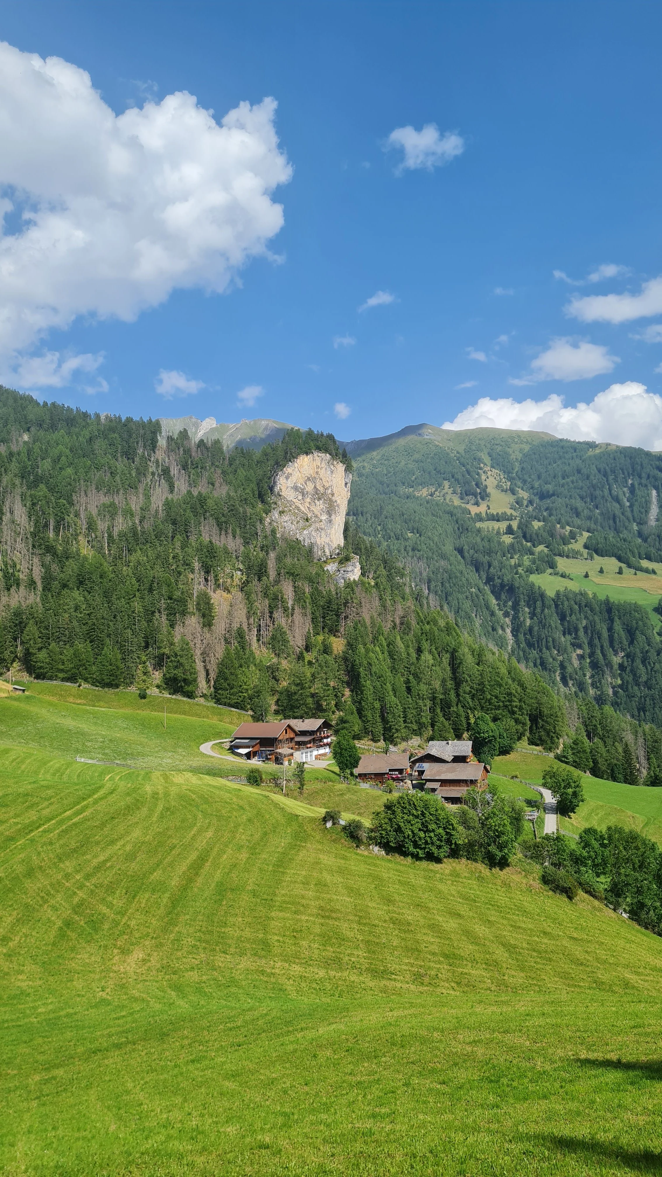
Via forest roads and access roads, we make our way back towards the mountain village of Glanz. After three switchbacks on the mountain road, we finally arrive back at the hiking parking lot and our starting point.
Pro-Tip: If you can, try to do the loop outside lift opening times, like in autumn when it is still dry.
Photos by @bennibru