Kranebitter Klamm
Technical difficulty: 5/10
Fitness: 3/10
Objective danger: 6/10
Landscape: 5/10
Busy: 3/10
From the city into the wilderness and back
guest post by @bennibru
Starting point: Parking Kranebitter Allee
Ending point: Parking Kranebitter Allee
Length: 15km
Vertical: 1000m
Speed: For experienced trail runners, the trails are definitely runnable, but often narrow and exposed.
Route:
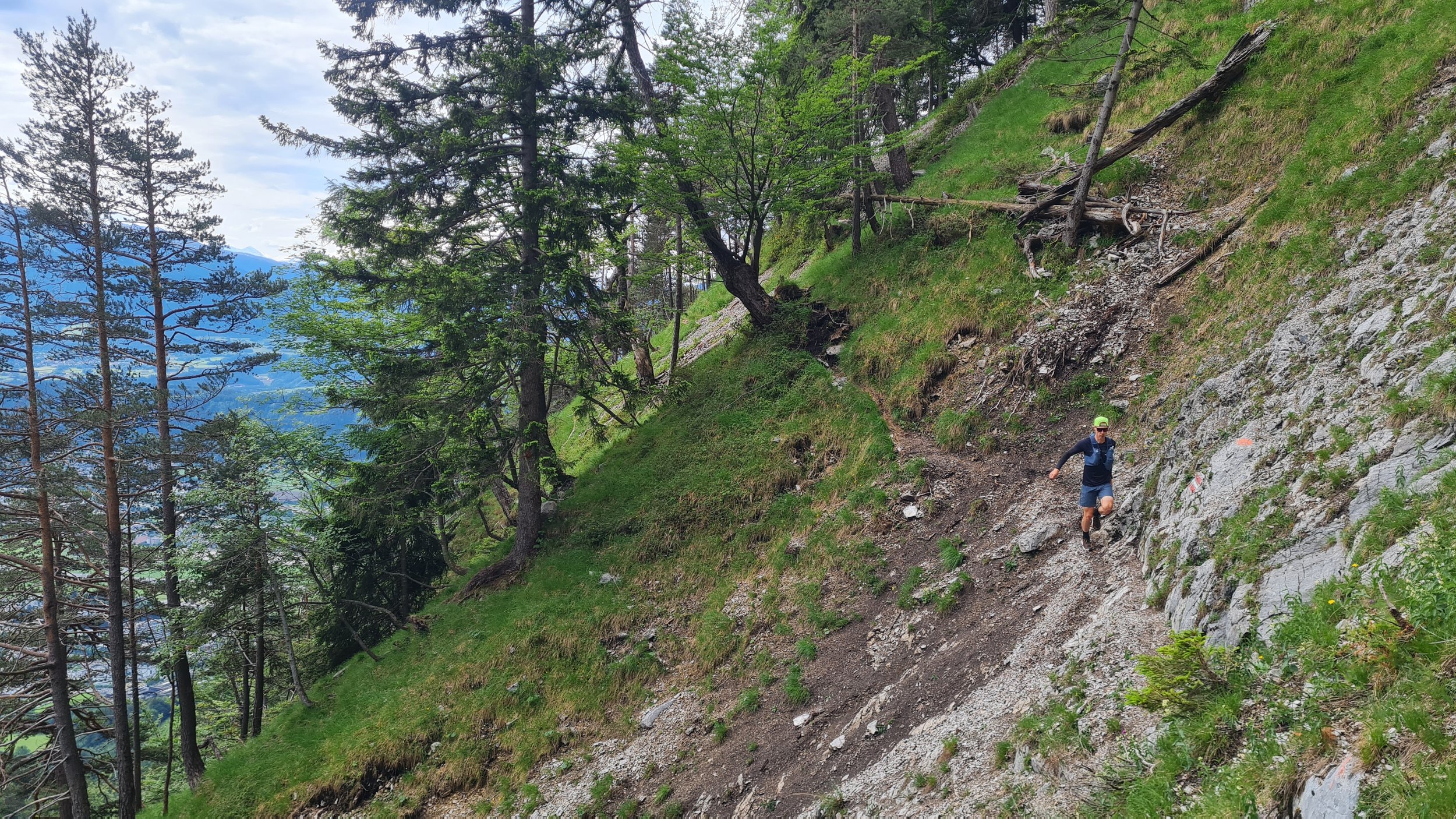
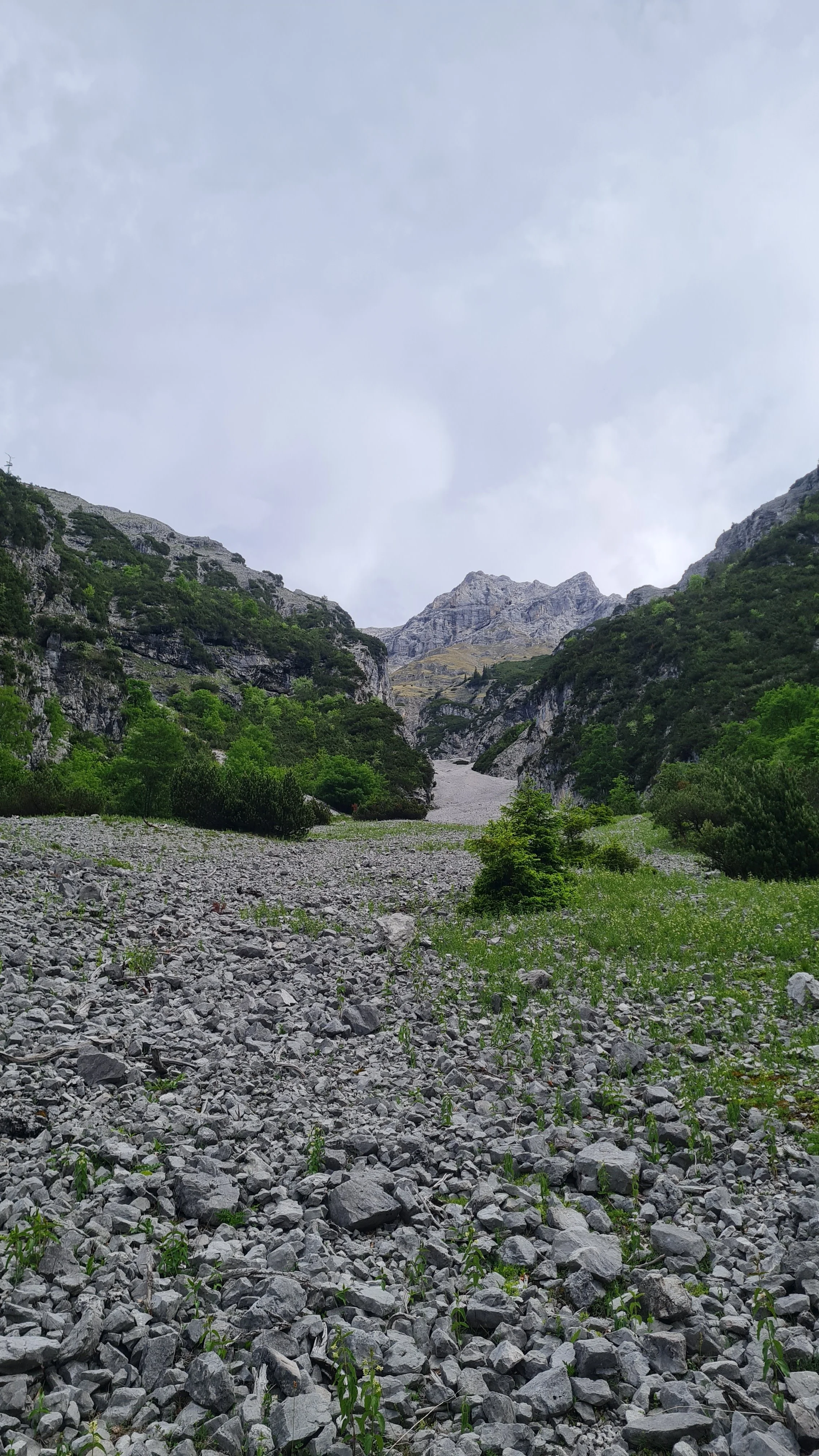
From Innsbruck’s westernmost district Kranebitten, a narrow valley leads north towards the steep rock faces of the Kleiner Solstein and Hohe Warte – the Kranebitter Klamm. A once well-maintained trail directly through the streambed has in recent years become a route reserved for adventurous explorers, and most recently authorities have advised against entering the gorge due to an increasing number of rescue operations. Along the sides of the gorge, however, the combination of Schleifwandsteig, Krummer Steig and Söldensteig forms an exciting loop through this narrow valley, followed by a more relaxed finish around Rauschbrunnen and the Stangensteig.
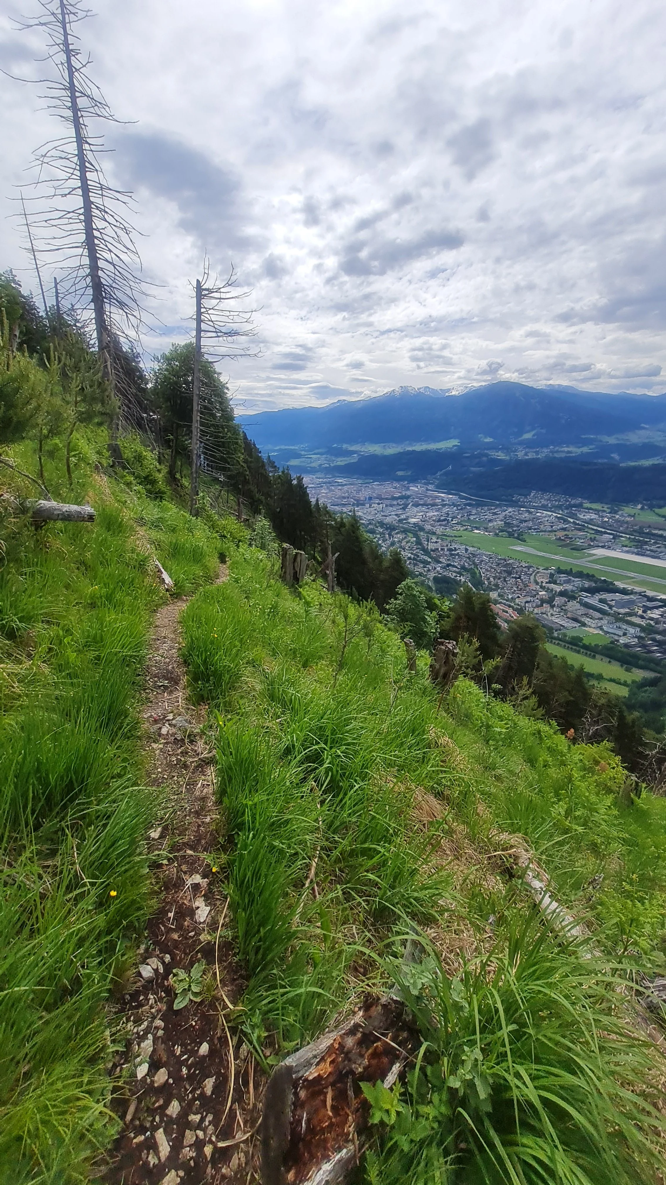
We choose the Standschützenkaserne parking area as our starting point. Parking directly beside the road requires a fee, but a few meters higher up, near the Saurweinwiese playground, the City of Innsbruck provides free daytime parking. We follow a gravel road uphill and, shortly before Kranebitten railway station, cross the Sulzenbach, the usually dry stream flowing out of the gorge. The Schleifwandsteig trail climbs in numerous switchbacks through increasingly steep terrain lined with tall grass towards the Hechenbergl before making a distinct right turn towards the gorge at around 1140 m.
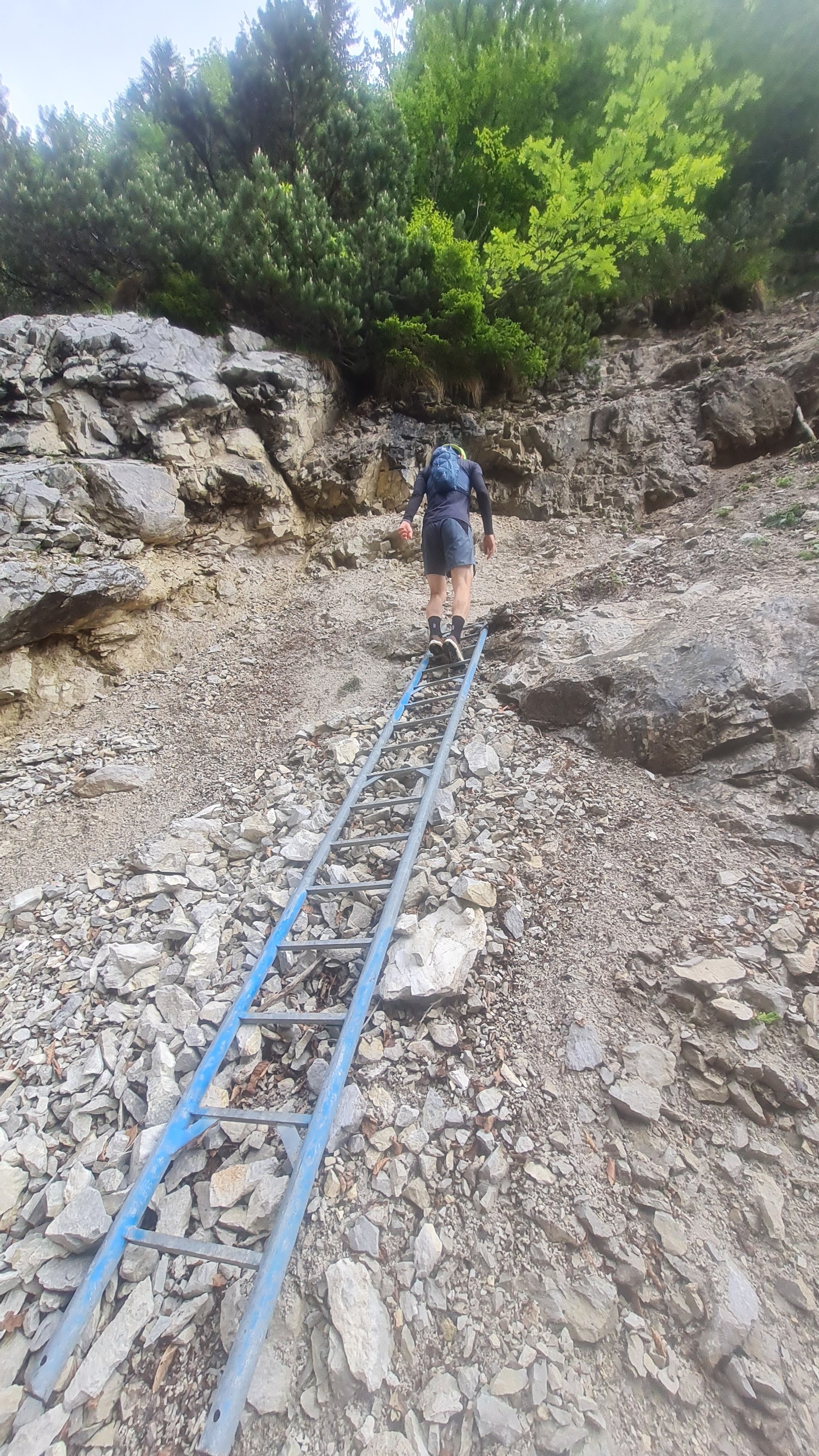
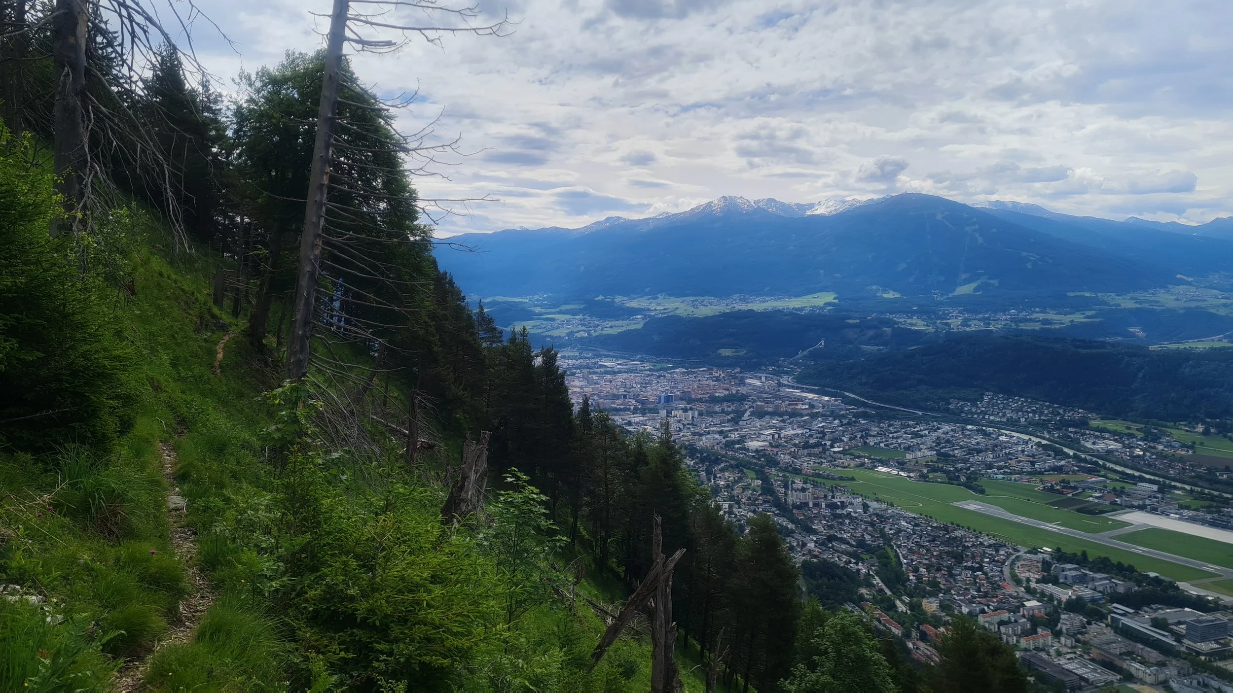
The trail now leads deeper into the valley in irregular ups and downs, partly through forest and partly across quite exposed terrain. Although narrow, the path remains clearly visible throughout. After gaining some more elevation and eventually heading west, we reach the Sulzenbach ravine after a short cable-protected section and climb out of the gully via a ladder.
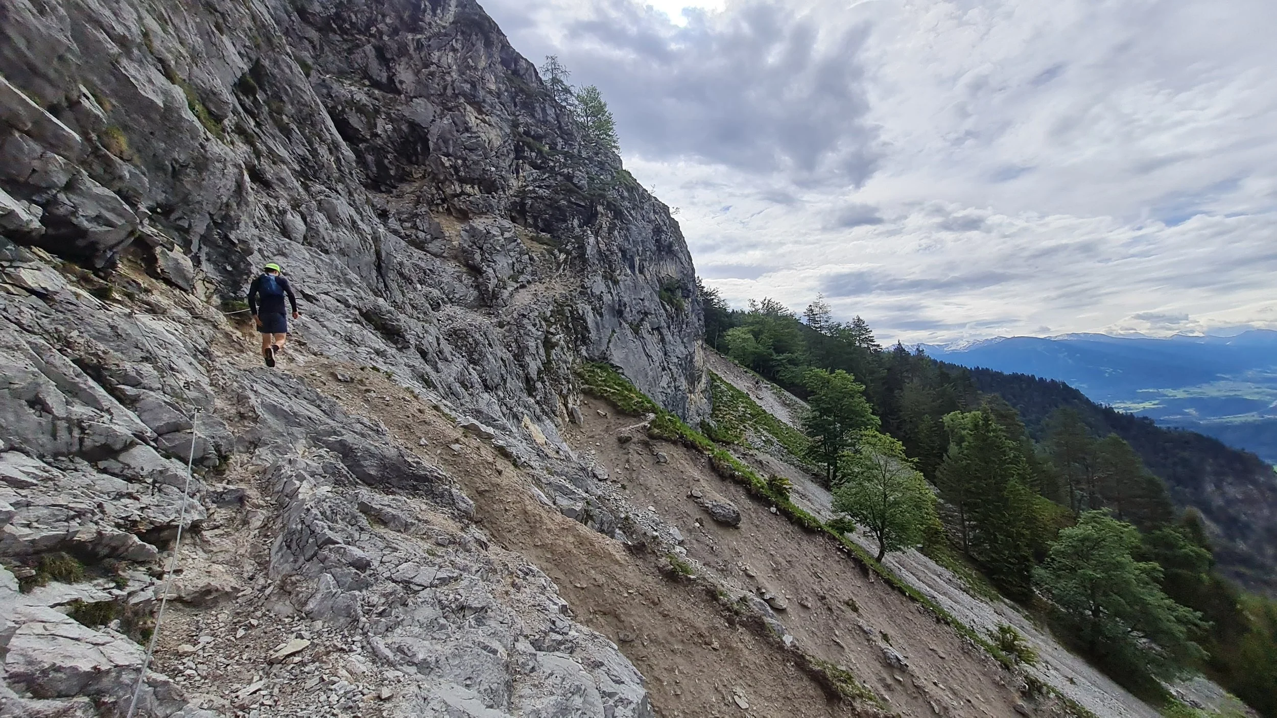
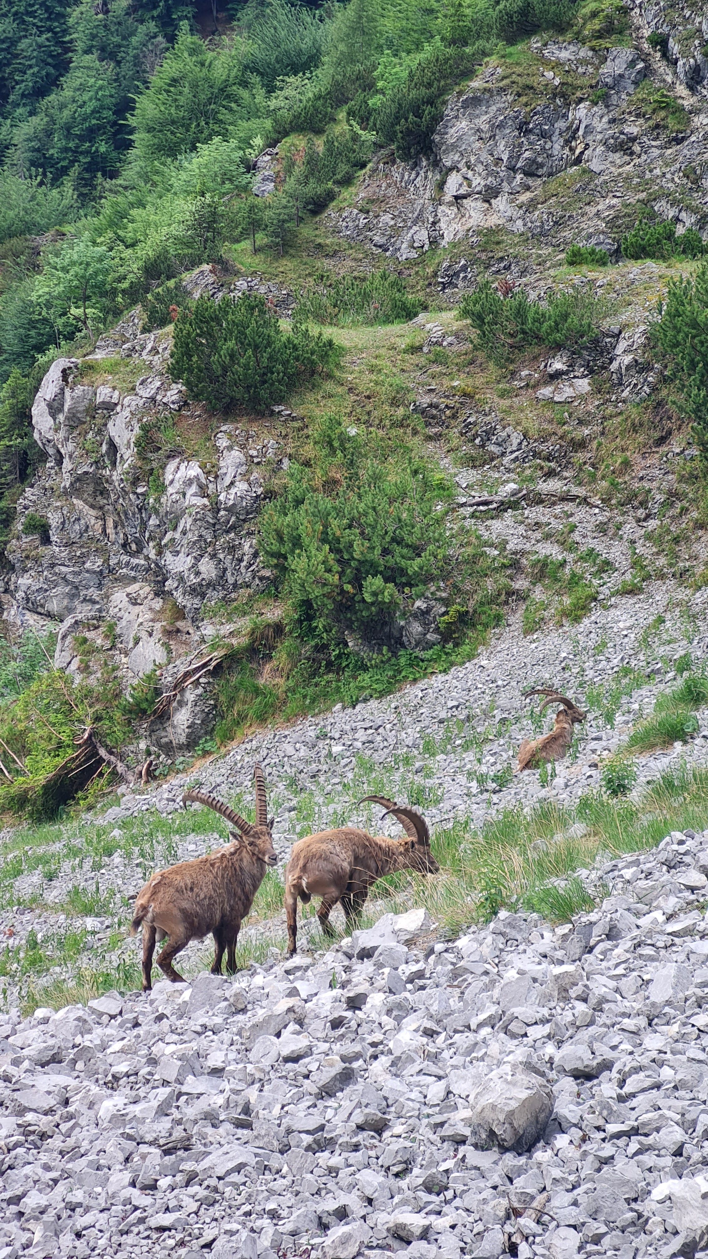
Another short climb through the forest brings us to the junction towards the Neue Magdeburger Hütte at 1450 m, the highest point of our loop. We keep right and now follow the “Krummer Steig” downhill, traversing several open scree fields beneath the massive south faces of the Karwendel. Particularly noteworthy are the crossings of heavily eroded gullies, equipped with several metal steps and steel cables, as well as the passage of the “Nasse Wand” – a waterfall that varies considerably in size depending on the season and weather and also provides a welcome opportunity to cool down. In this area, chances are also very good of spotting chamois or even ibex, sometimes in surprisingly large numbers.
After a longer section through the forest, we reach the broad Langenlehngraben and a signposted junction. The upper trail leads towards the Asbach-Hut, while we take the lower route and soon leave the gully to the left onto the Söldensteig. This trail is also very narrow but mostly downhill and, with sufficient sure-footedness, quite runnable despite traversing the steep slopes of the gorge. At a large clearing, the trail turns east. We gradually leave the wilderness behind and eventually reach the popular and usually busy Alpengasthof Rauschbrunnen, which is a good place for a short break and some refreshments.
From Rauschbrunnen, there is the option of descending directly via the Edelweißhüttenweg towards Kerschbuchhof / Kranebitten. Instead, we continue down the steep trail further east before enjoying the flowy Stangensteig trail heading west. At its end, we turn left and descend through the Knappental to return to Kranebitten. Via the Harterhofweg and the cycle path south of the district, we make our way back to the starting point.
Pro-Tip: The route is perfectly accessible by public transport, you can take city bus ortrain to the Kranebitten train station and start the loop from there.
Photos by @bennibru