Hochnissl (2546m)
Technical difficulty: 8/10
Fitness: 7/10
Objective danger: 6/10
Landscape: 7/10
Busy: 1/10
A technical summit trip. Great if you want to be alone but still quite close to Innsbruck.
Starting point: Pension Karwendelrast
Ending point: Pension Karwendelrast
Length: 13km
Vertical: 1700m
Speed: Mostly very narrow and technical trails. Expect slow moving.
Route:
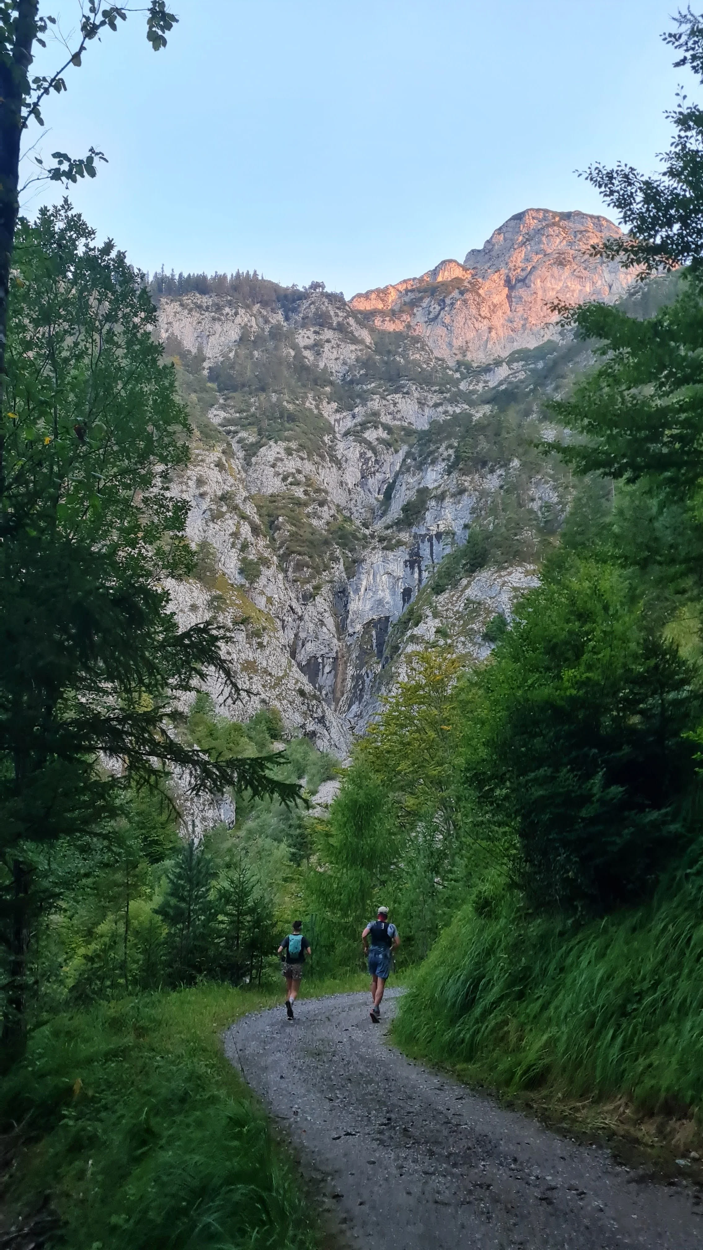
We start off from the parking lot next to the Pension Karwendelrast. There is a water stream here, where we can fill up water before we go. The trail starts off on a forest road heading quite flat into the Vomperloch valley for a while. After about 1.5km, the road ends and turns into a narrow trail, still continuing along the hillside deeper into the valley. We follow this trail for another few hundred meters, until the well-signposted trail turns off right steeply uphill heading towards Hochnissl.
From here onwards the navigation is easy, there is nowhere to turn. We follow the steep trail up through the forest. After about 400 vertical meters, we pass a private hut with another water source. This is the last place to get water until the summit, so take advantage of it.
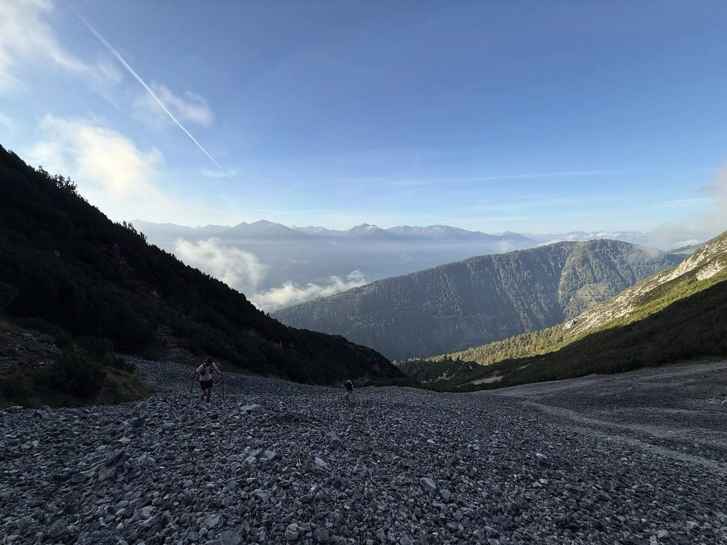
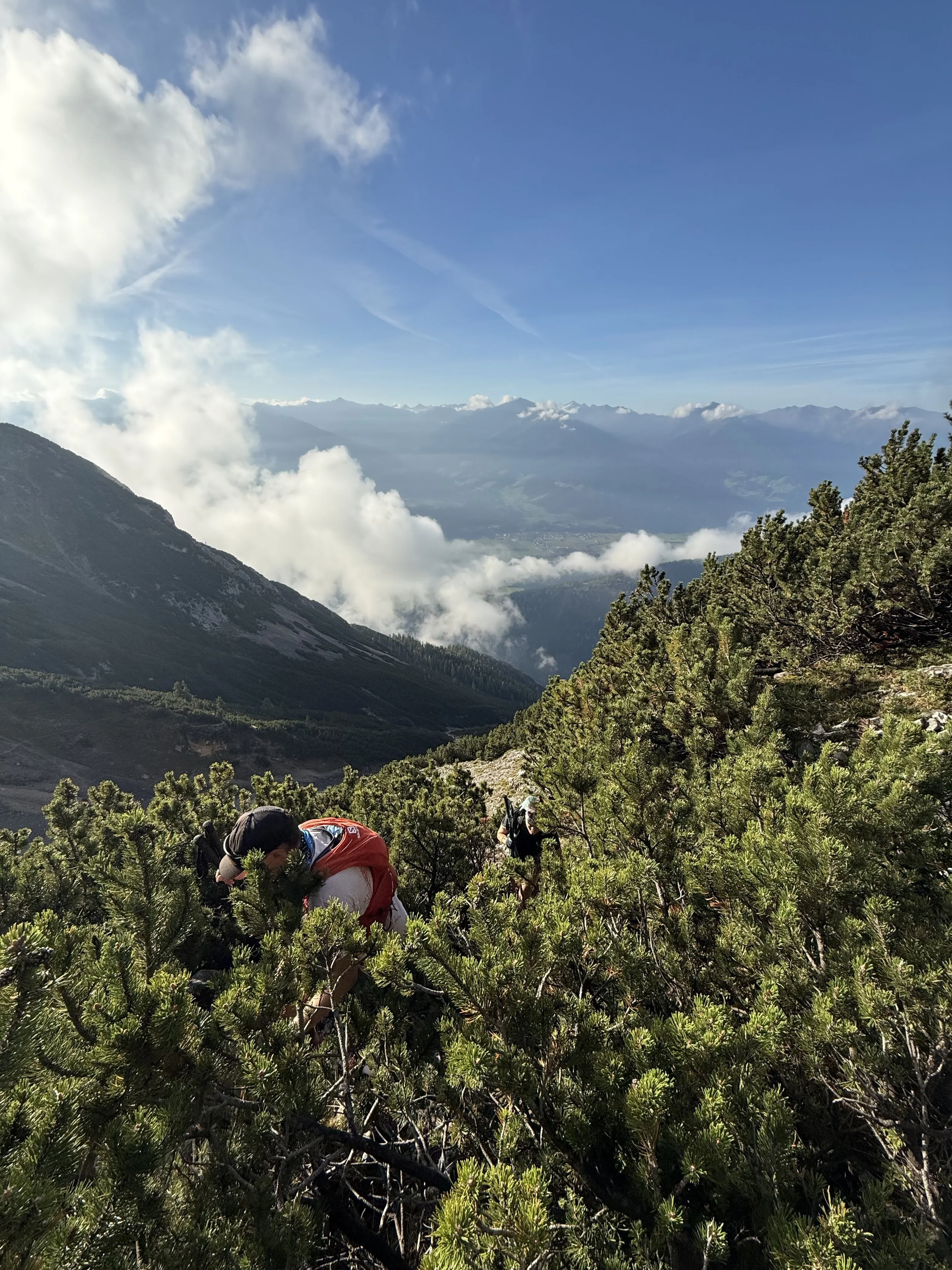
The trail continues ascending steeply. The forest changes for low alpine growth and later on for large scree fields. At about 1850m, we have to cross a large scree field to get to the other side of the bowl. The trail here is damaged by water/snow and has a few tricky steps. We continue up a gravely hillside through steep zig-zags until the small grassy plateau and a small summit of Niedernissl (2067m).
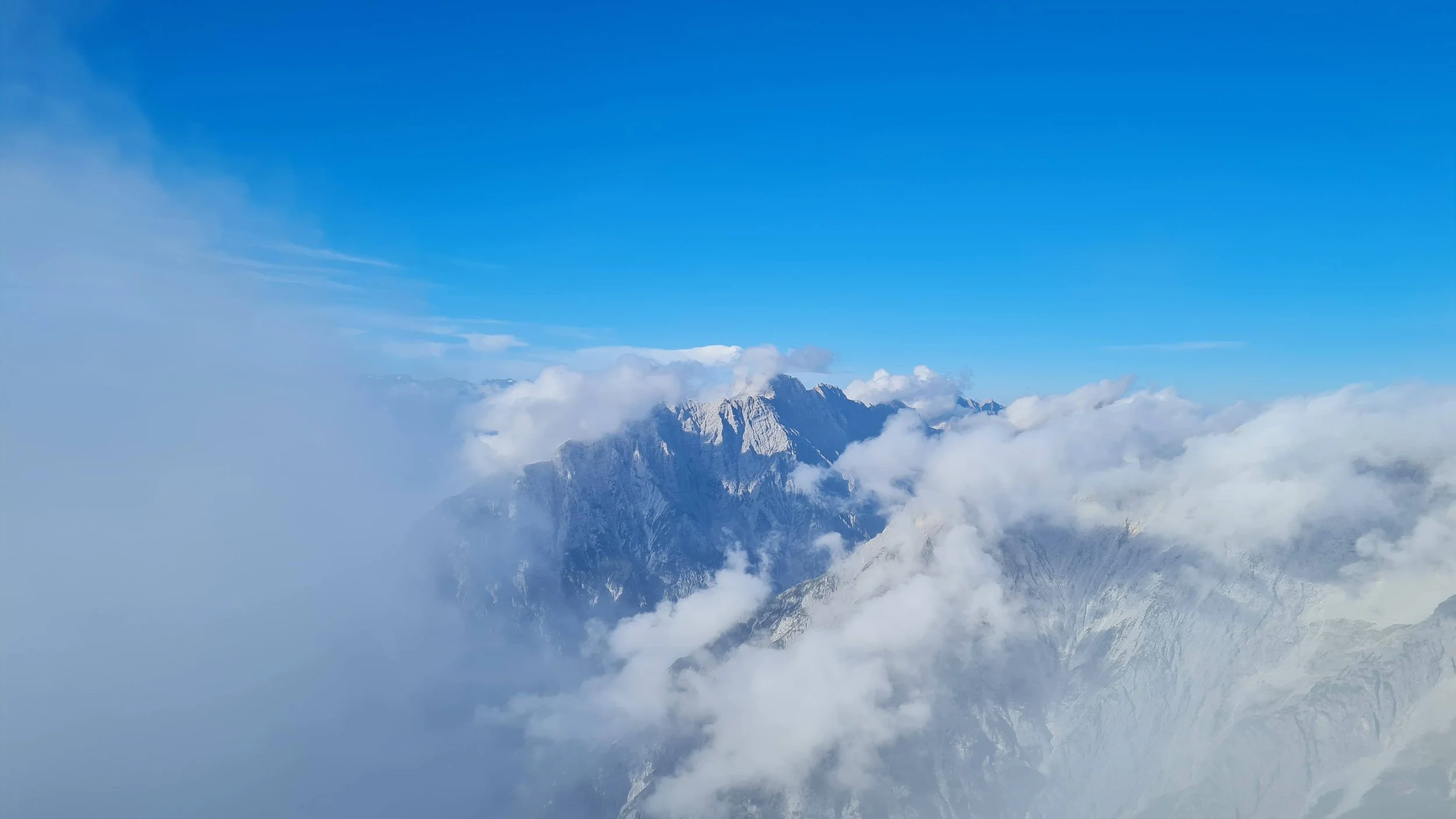
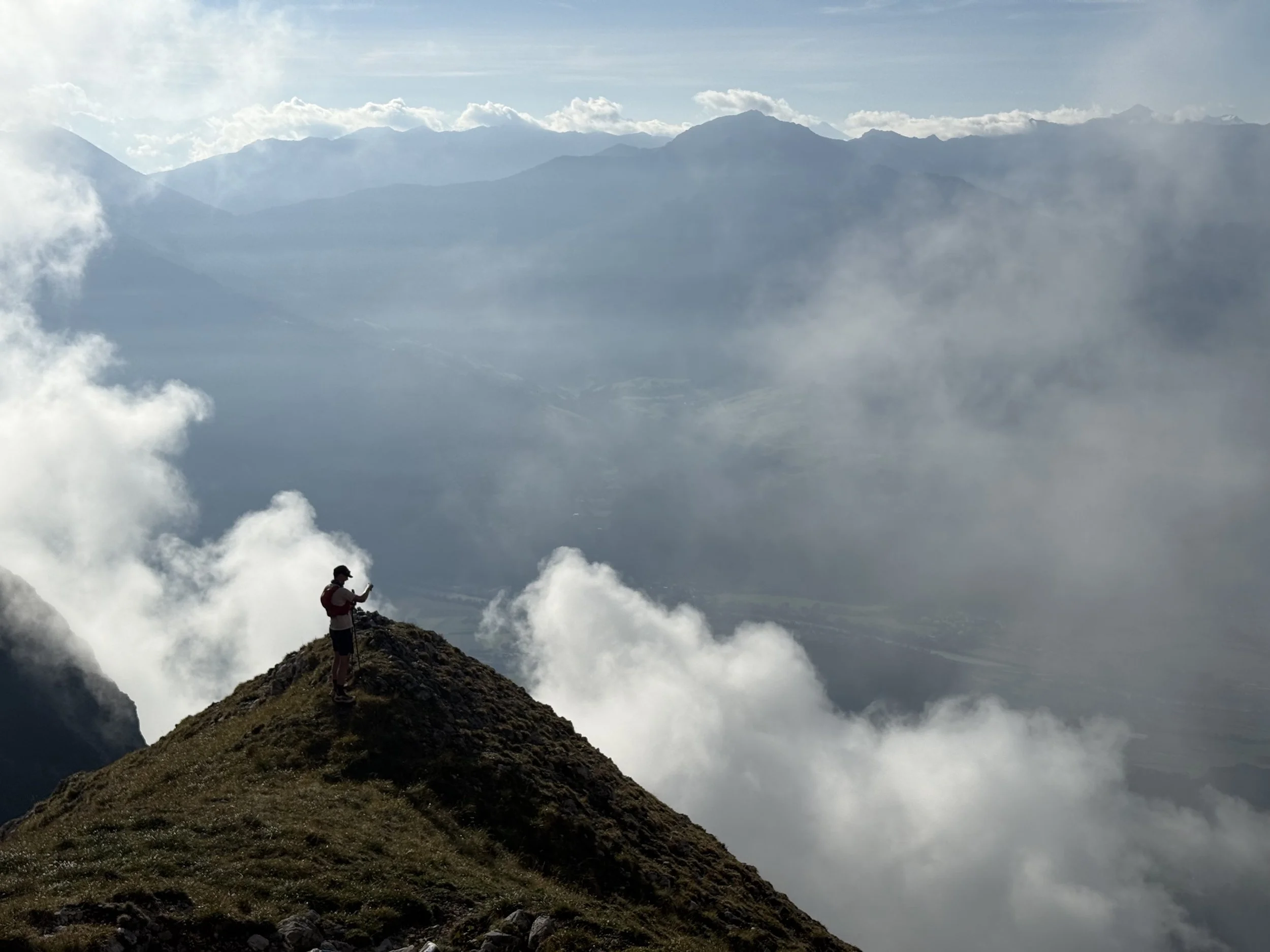
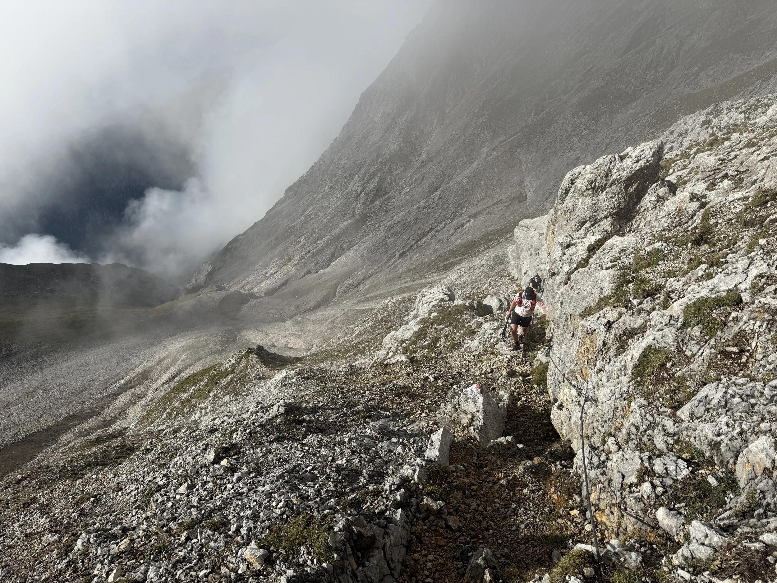
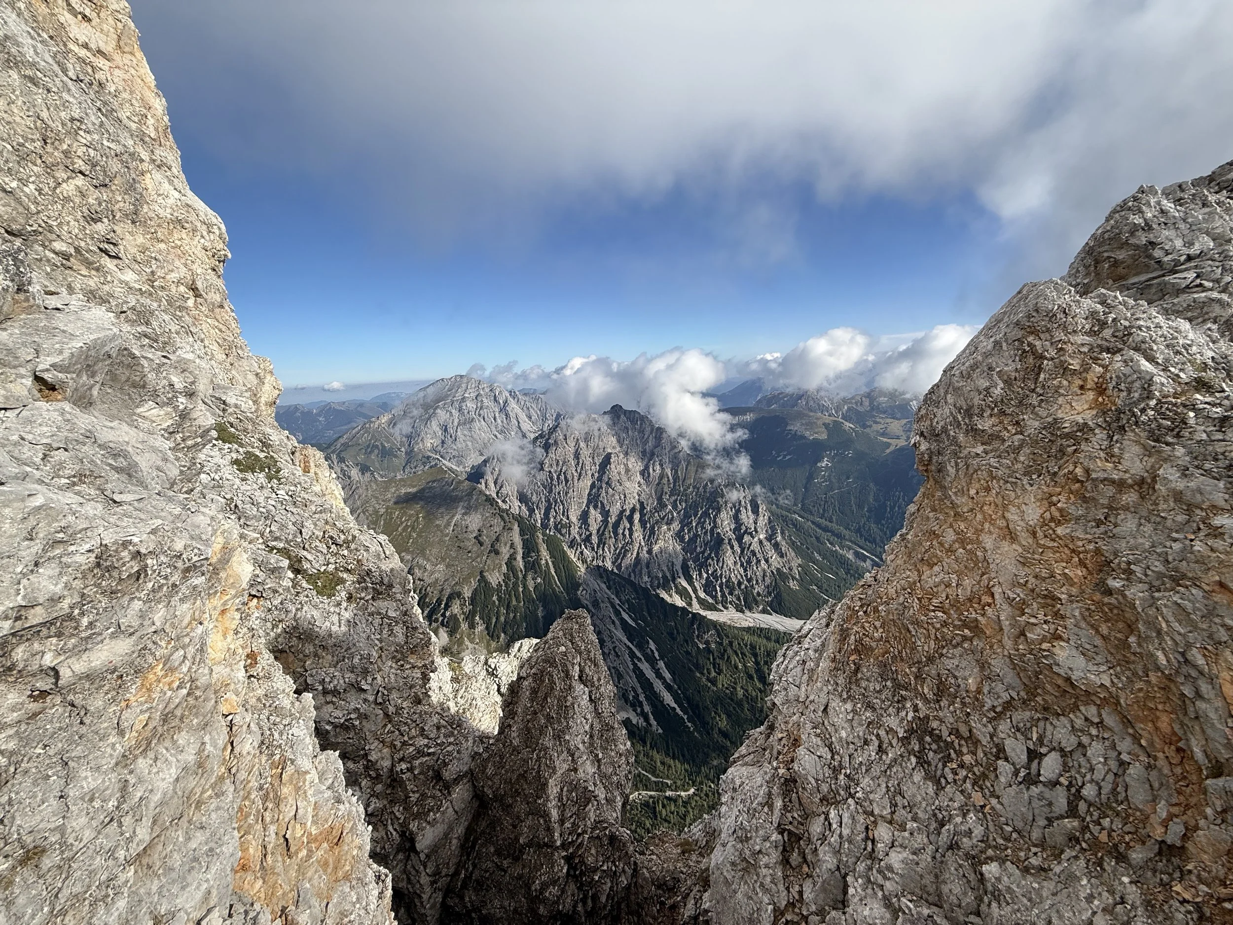
From here, the route gets a lot more exposed and technical. We keep heading north-west and the navigation remains easy. The trail remains steep and narrow and is fixed by increasing number of fixed cables along the way. At a bit above 2400m, we make it to the ridge line and views open to the north side at the vast expanse of Karwendel national park.
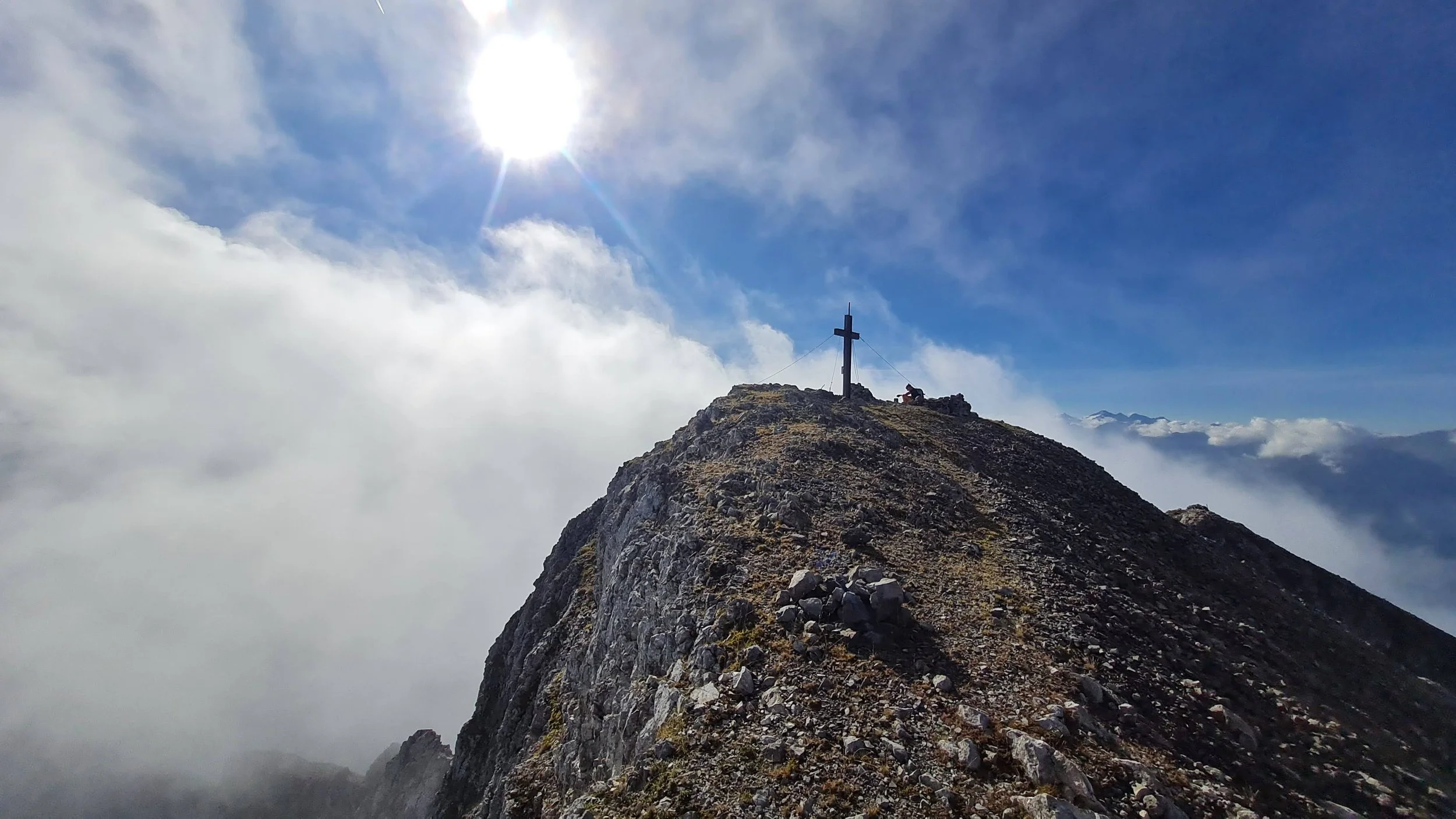
On the ridge, the trail is almost entirely secured by fixed cables. With a bit of care, we are at the summit cross in no time. A trail continues to the north-west of the summit along the ridge. Don’t follow it. It is closed due to unstable terrain and risk of rockfall.
We mostly retrace our steps the same way down. At the scree field at around 1850m, we can take a short cut sliding directly down through the scree field. This can be a lot of fun if you don’t care much about the survival of your shoes. Follow the GPS track. There is a short rock step secured with an old rope at the end. Please exercise your judgment before committing to it.
The rest of the trail follows along already familiar trails all the way back to the parking lot.
Pro-Tip: The Vomperloch valley is not visited very often and is a brewing ground for ticks. Have a good check back home after this loop :).
Photos by @the.running.nomad, @bennibru and @sontschi2604