Trails / Karwendel
Loop over Nördlinger Hütte
Guest post by Benni Brugger
16 November 2026
- Length
- 16 km
- Vertical
- 1450 m
- Start & finish
- Reith bei Seefeld
- Speed
- apart from the steep parts quite runnable trails, a few KM of forest road at the end
Quiet trails and a scenic traverse on Kuntersteig high above the Seefeld Plateau.
The route
The Nördlinger Hütte is well known as a rewarding viewpoint in the westernmost Karwendel, the first hut stop along the Karwendel High Trail, and a popular day trip destination from the nearby Seefeld cable cars. On this late-autumn loop, we combine a lesser-known ascent from Reith, a traverse across the steep slopes of the Reither Spitze via the Kuntersteig, and several trails near the ski slopes into a scenic but not overly demanding round trip.
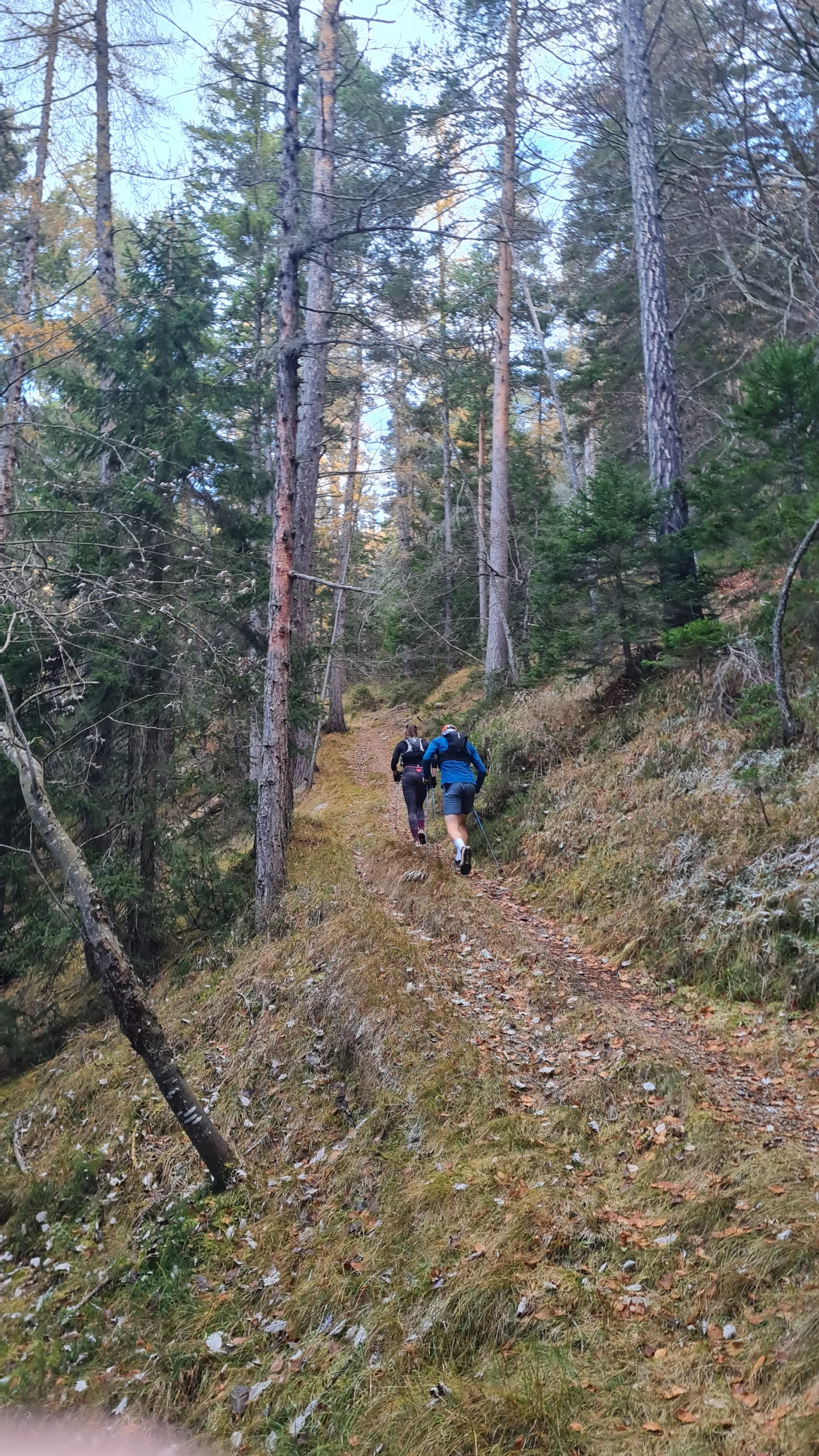
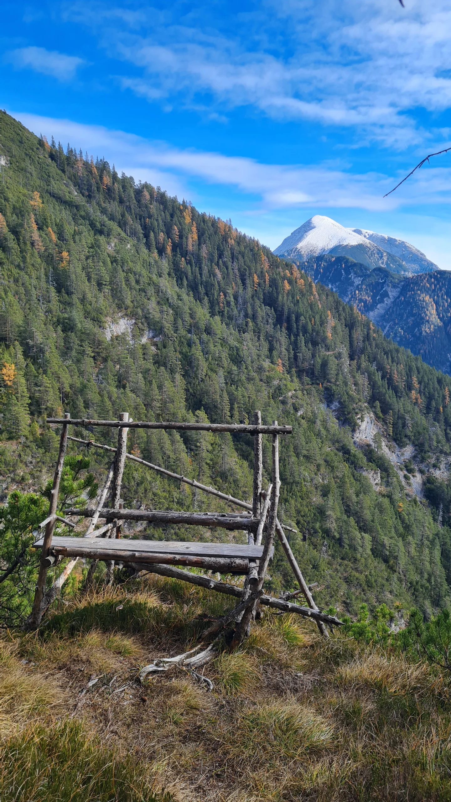
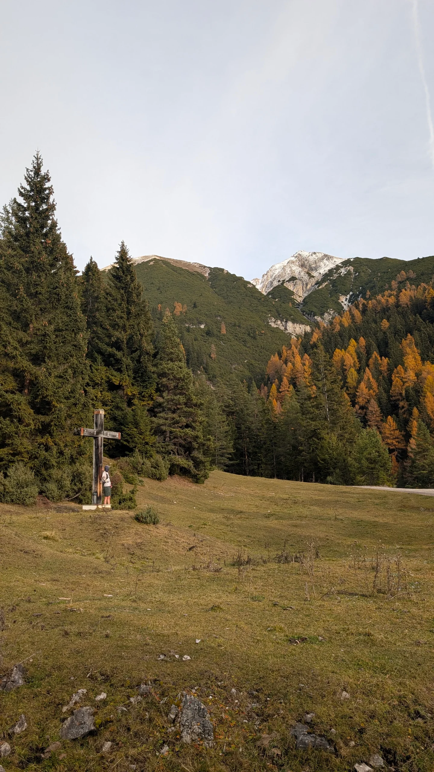
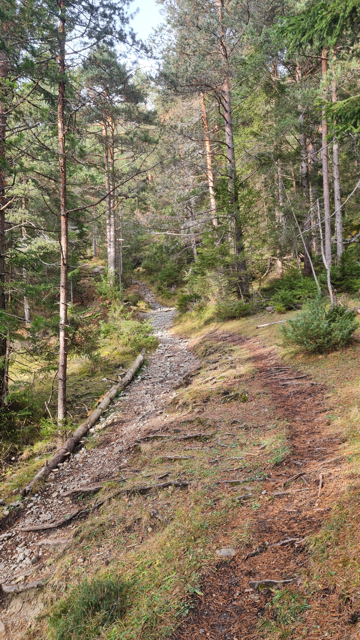
We start at the railway station in Reith bei Seefeld and initially follow the road south through the village. After crossing the Reither Bach, we turn left onto the Kaiserstandweg and follow the forest road through its first switchback. At the following junctions, we keep straight ahead or slightly right, and the road soon turns into a narrow forest trail. After crossing another forest road, we follow a steep, straight cart track uphill, although a more pleasant narrow path can be used a few meters to the left along its lowest section. After a demanding 200 vertical meters on the cart track, we reach a junction where another steep 50 meters of ascent lead to the wooded plateau of the Durschkopf (1639 m). Apart from a simple wooden hunting stand offering a great view towards the Solstein, however, the detour is not necessarily worth the extra effort.
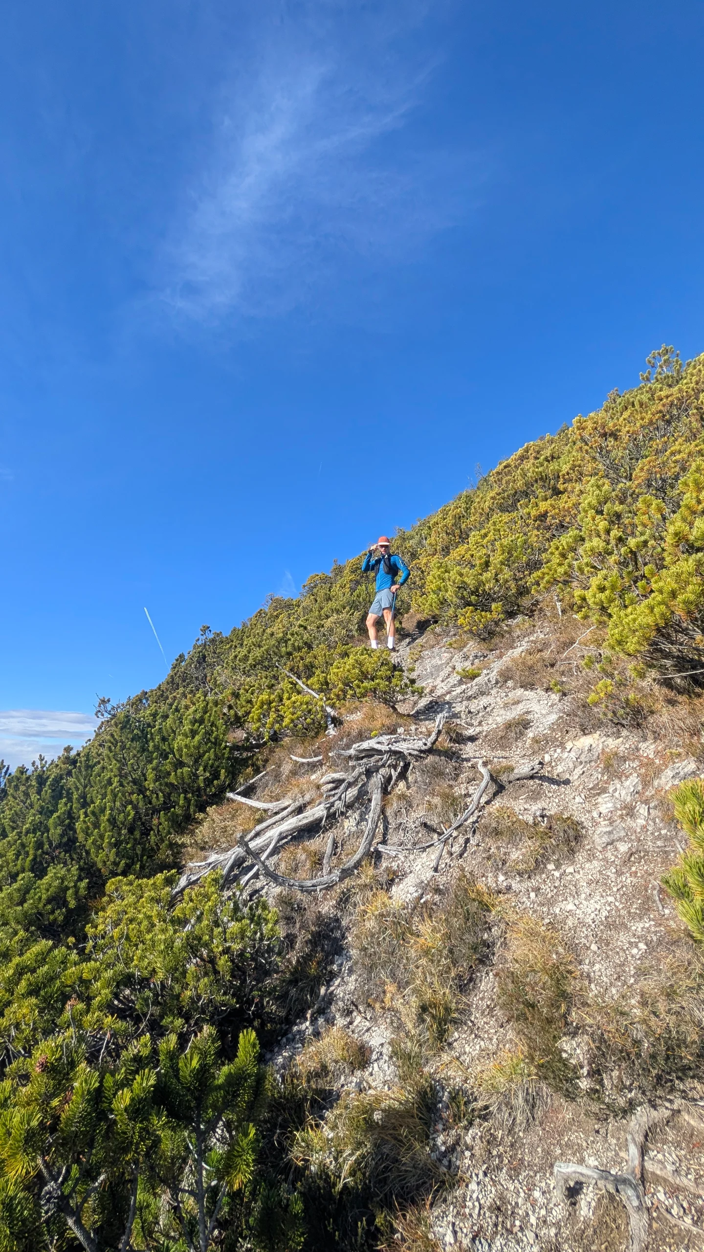
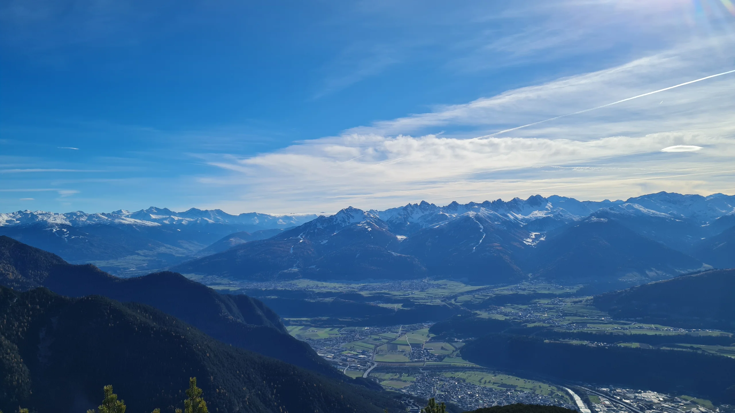
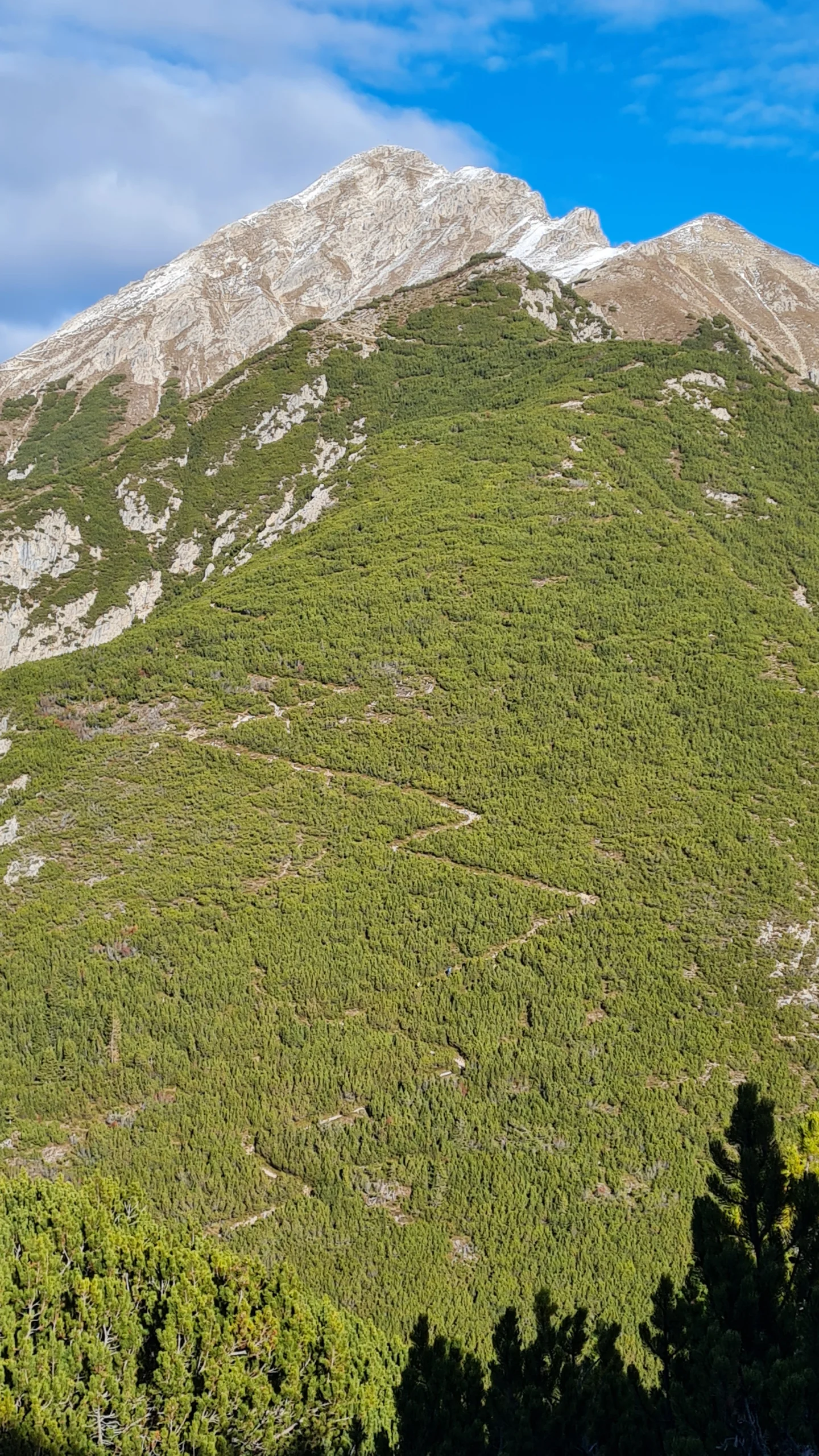
Back on the main ascent route, we reach a well-hidden hunting hut after a few minutes, and from here the character of the trail changes noticeably. The gradient eases as we traverse the south-facing slopes high above the Pflegerbach gorge. Once the trail turns north again, it becomes significantly steeper, climbing through a well-cleared corridor in seemingly endless stretches of dwarf pines. While the Holzköpfl is barely noticeable as a distinct summit along the ascent, beautiful views repeatedly open up towards the Inntal and the Grieskogel Group and Kalkkögel on the opposite side of the valley. The scenery finally reaches its highlight on the grassy plateau of the Rauenkopf (2011 m). With almost 1000 vertical meters already behind us, the effort is starting to make itself felt. At the same time, the remaining 400 meters of ascent are clearly visible, and the Reither Spitze is already beckoning to us from the north.
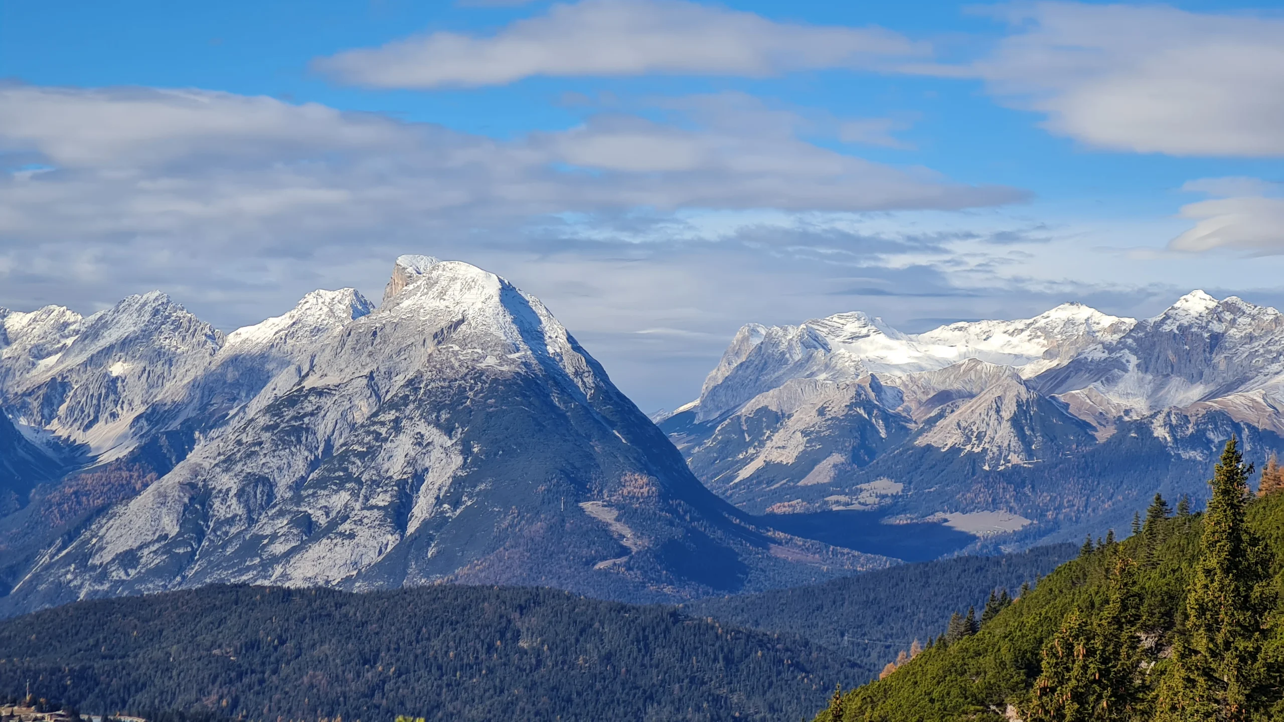
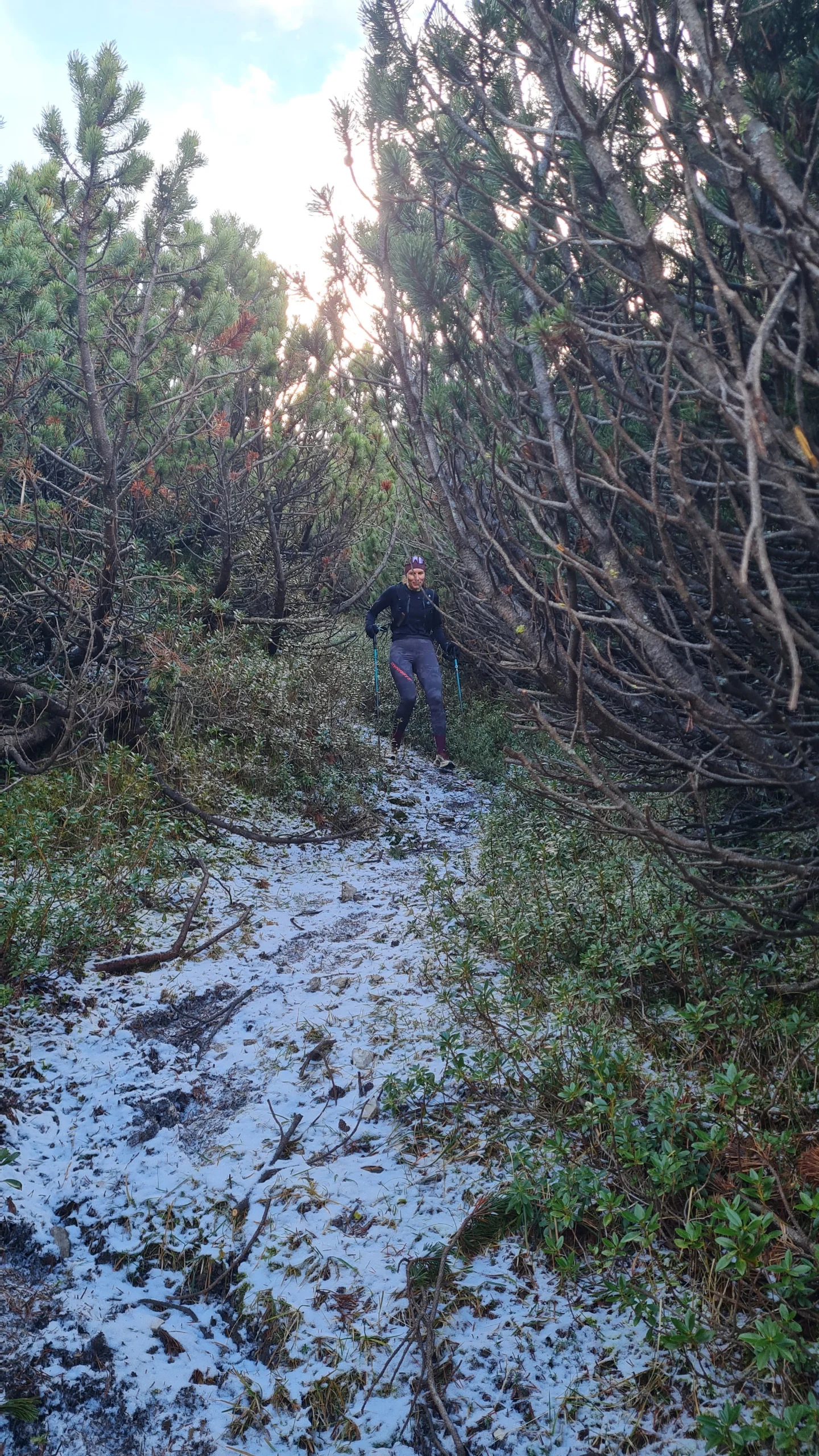
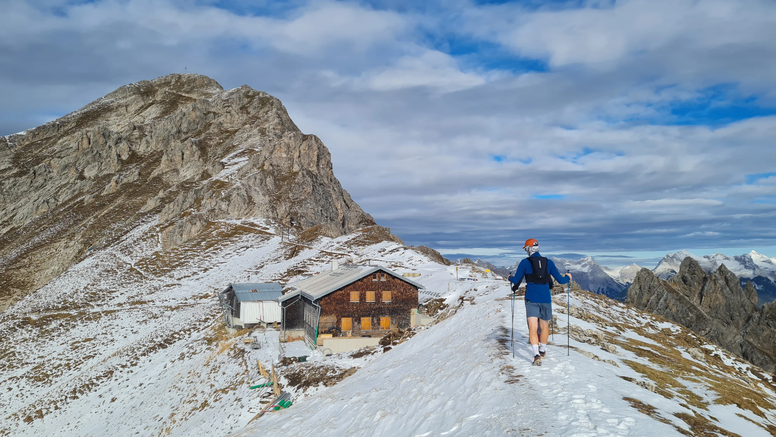
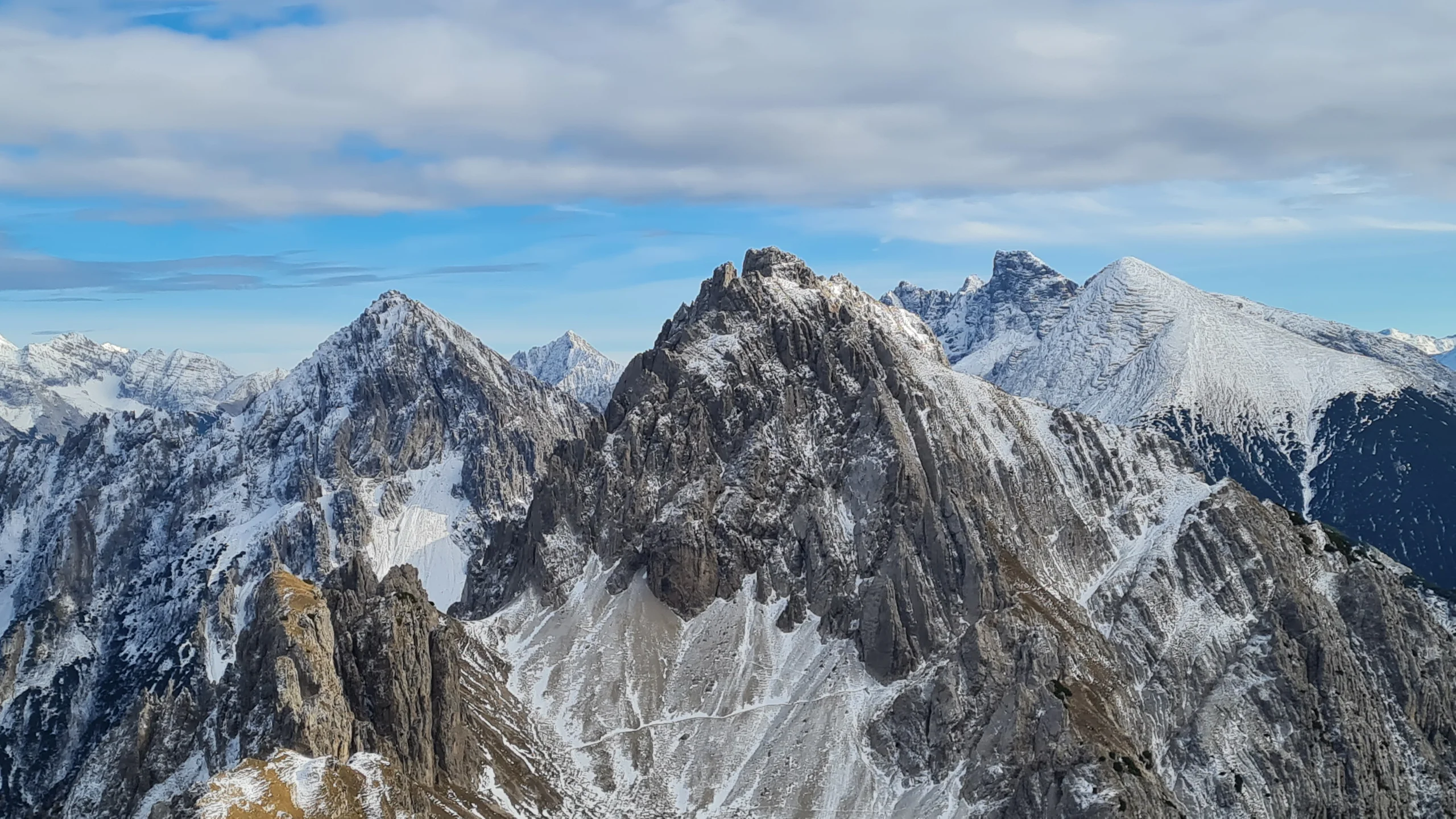
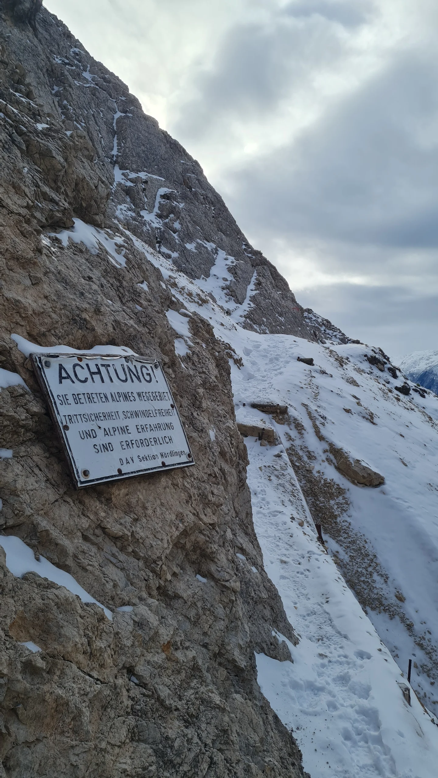
A surprisingly long descent through tunnels of dwarf pines follows before we reach the former Schartlehnerhaus mountain inn and join the more direct main ascent route from Reith to the Nördlinger Hütte. Now wider and less steep, the trail winds uphill through the final slopes covered in dwarf pines before following a relatively flat ridge towards the hut, with magnificent views of the Karwendel and the Freiungen Group opening up along the way. We take a break at the unfortunately already closed hut, looking east along the Freiungen Höhenweg, which starts here, and across to the Kuntersteig traversing beneath the Reither Spitze towards the Härmelekopf. A detour to the summit of the Reither Spitze (2374 m) would require another 150 vertical meters of ascent through somewhat more technical terrain. Although the summit traverse would certainly be worthwhile, we decide to skip it today – partly to explore the Kuntersteig instead, but also because descending the northwestern summit slopes with snow cover can be quite a challenging undertaking.
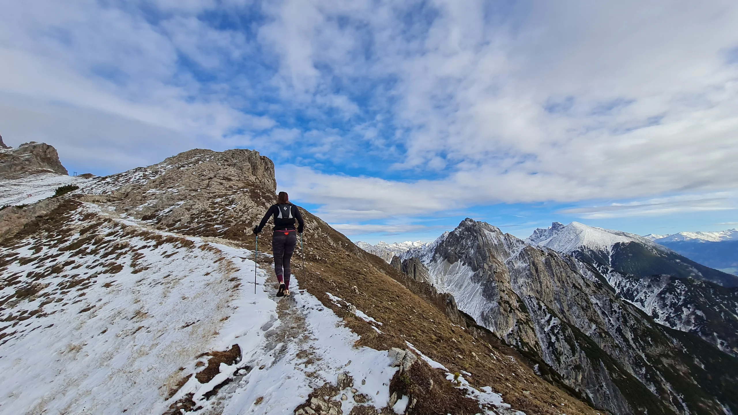
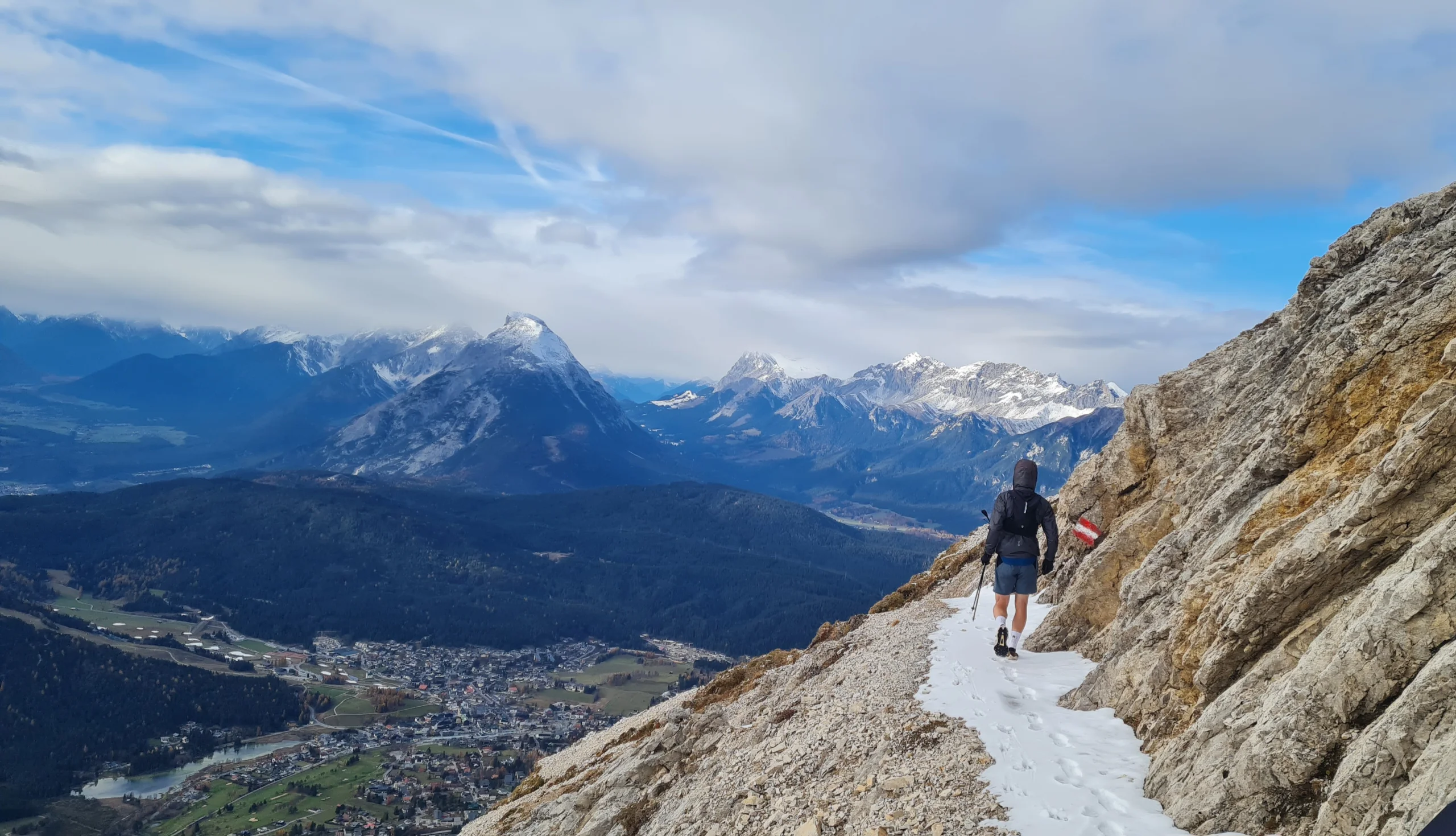
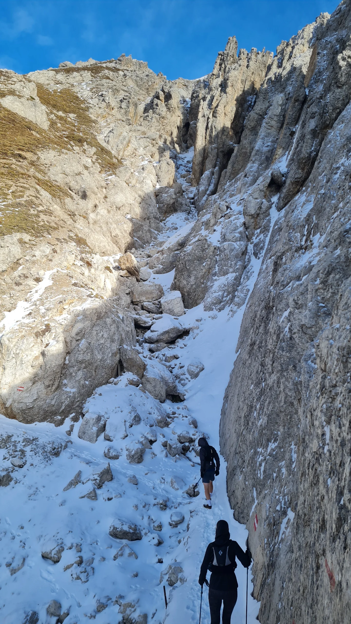
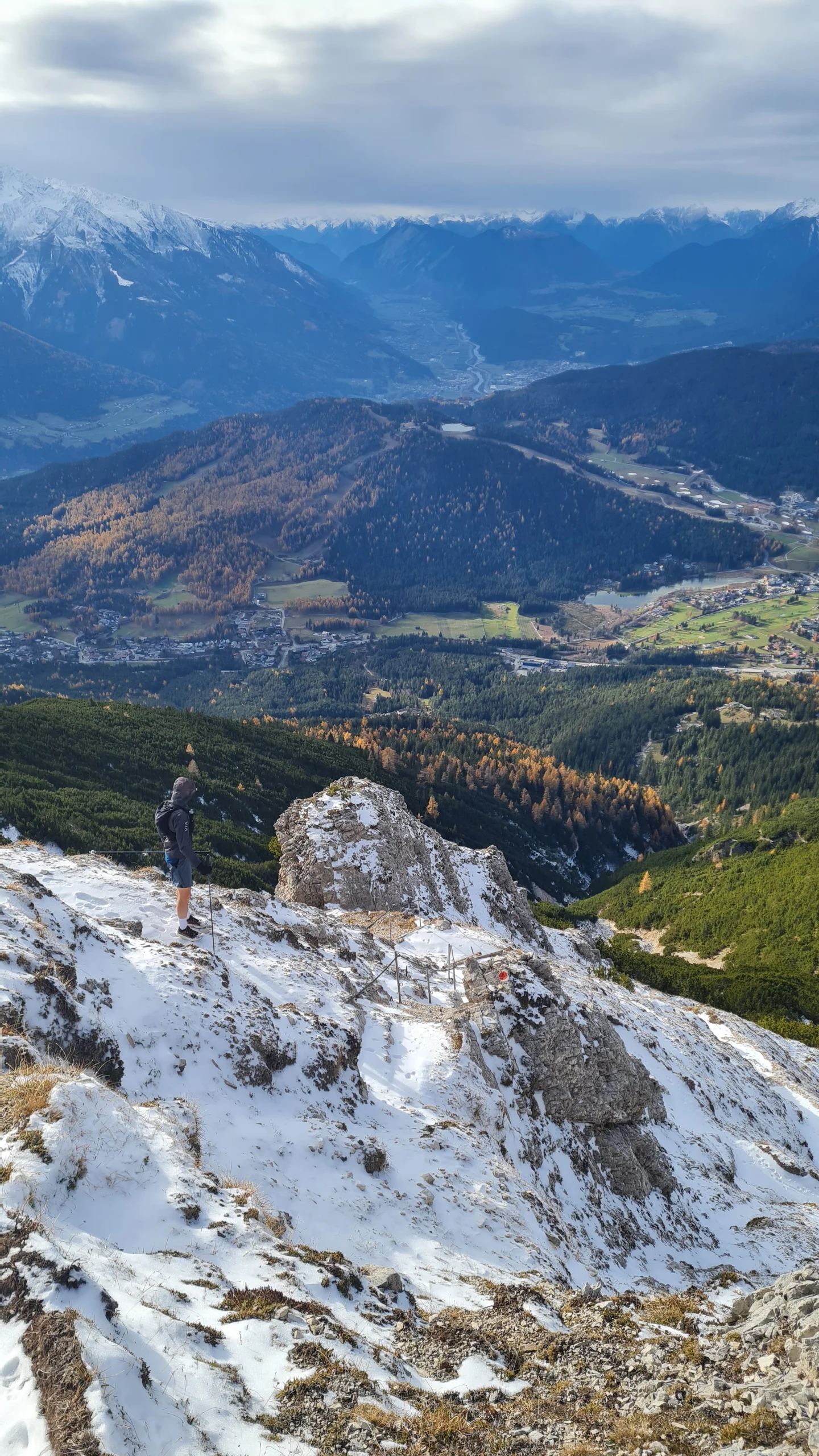
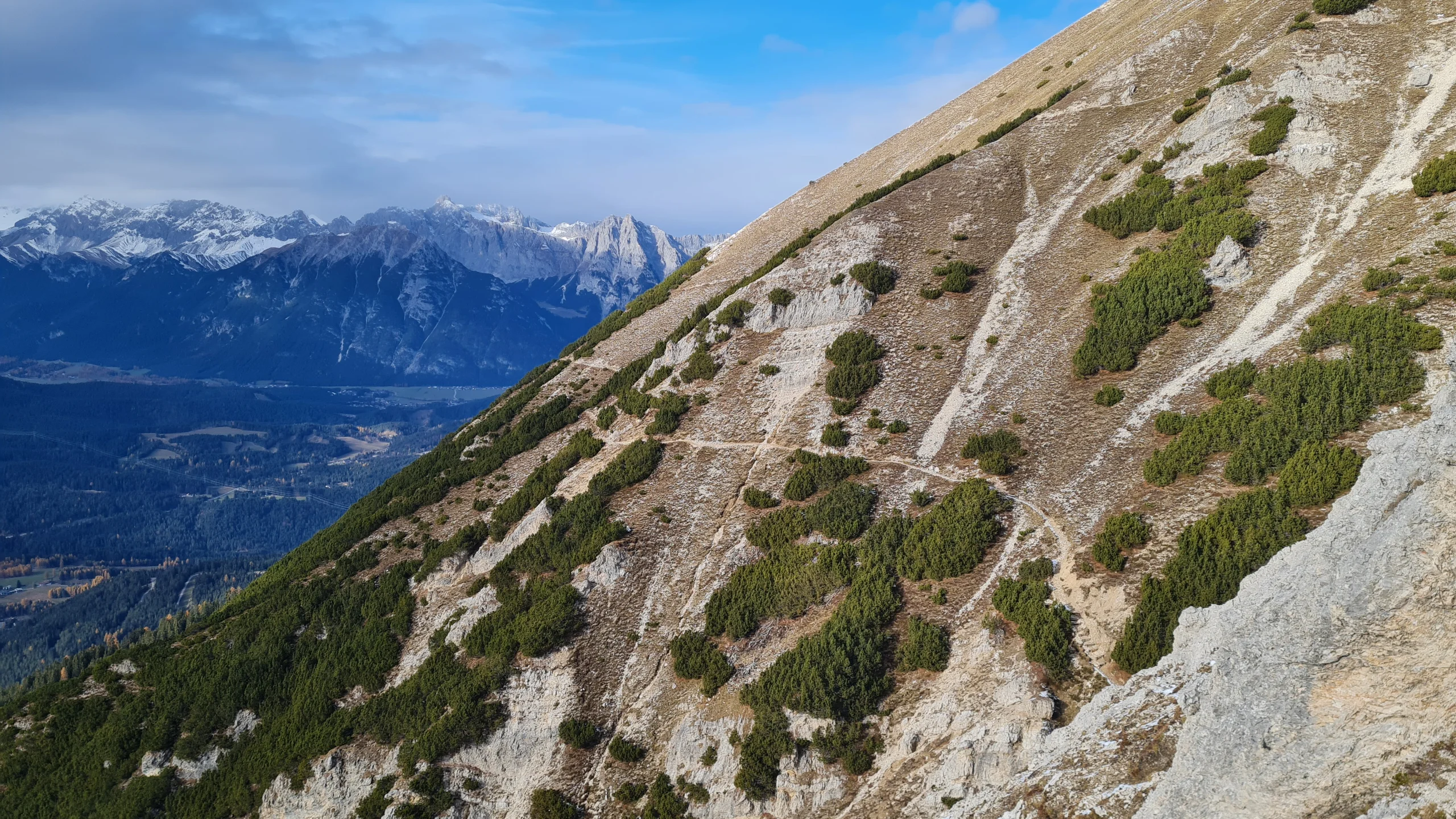
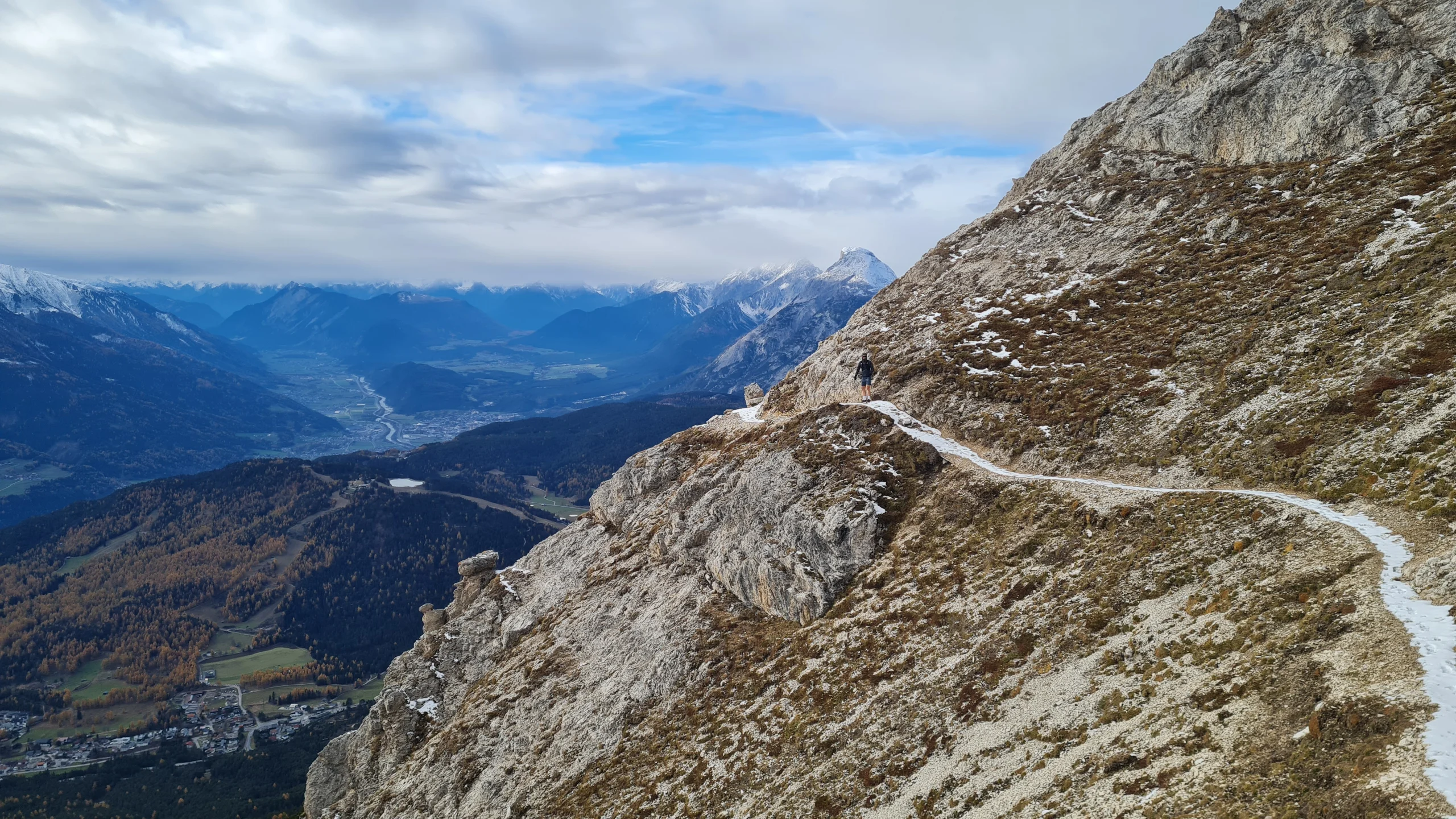
The Kuntersteig itself is a relatively straightforward and sufficiently wide trail traversing the western flank of the Reither Spitze. However, the steep slopes dropping away to our left demand absolute sure-footedness, and any additional snow cover requires particularly careful footing. Descending gently, with a few short cable-protected sections, the trail gradually approaches the dwarf pine zones again. Twice, we lose elevation through a rapid succession of tight switchbacks, while the views across the Seefeld Plateau towards the Hohe Munde and the Wetterstein Mountains in the background remain spectacular throughout. The exposed section ends with the crossing of a scree gully beneath the Reither Joch. Due to several previous trail landslides and only rather temporary repairs, this crossing is somehow the technically most demanding part of the traverse. From here, we continue through wide corridors between the dwarf pines beneath the Härmelekopf towards the upper station of the Härmelekopfbahn.
We now begin the main descent on a trail running alongside the ski slope. Rather than following the slope itself, we descend quite steeply through some slightly overgrown dwarf pine terrain until reaching a traversing corridor, which we follow north at around 1900 m to rejoin the ski slope. From here, narrow forest trails lead us first along the right and later the left side of the slope down to the Reitherjoch Alm. We now follow the considerably more frequented trail towards the valley. Near the avalanche barriers above the Mühlbach, the trail turns into a gravel road, which we follow for the final few kilometers of easy running, leading us directly back to our starting point.
Photos by@bennibru,@sontschi2604and@joshuaschink