

Archbrandköpfl (2058m) from Inzing
Technical difficulty: 2/10
Fitness: 4/10
Objective danger: 2/10
Landscape: 4/10
Busy: 7/10
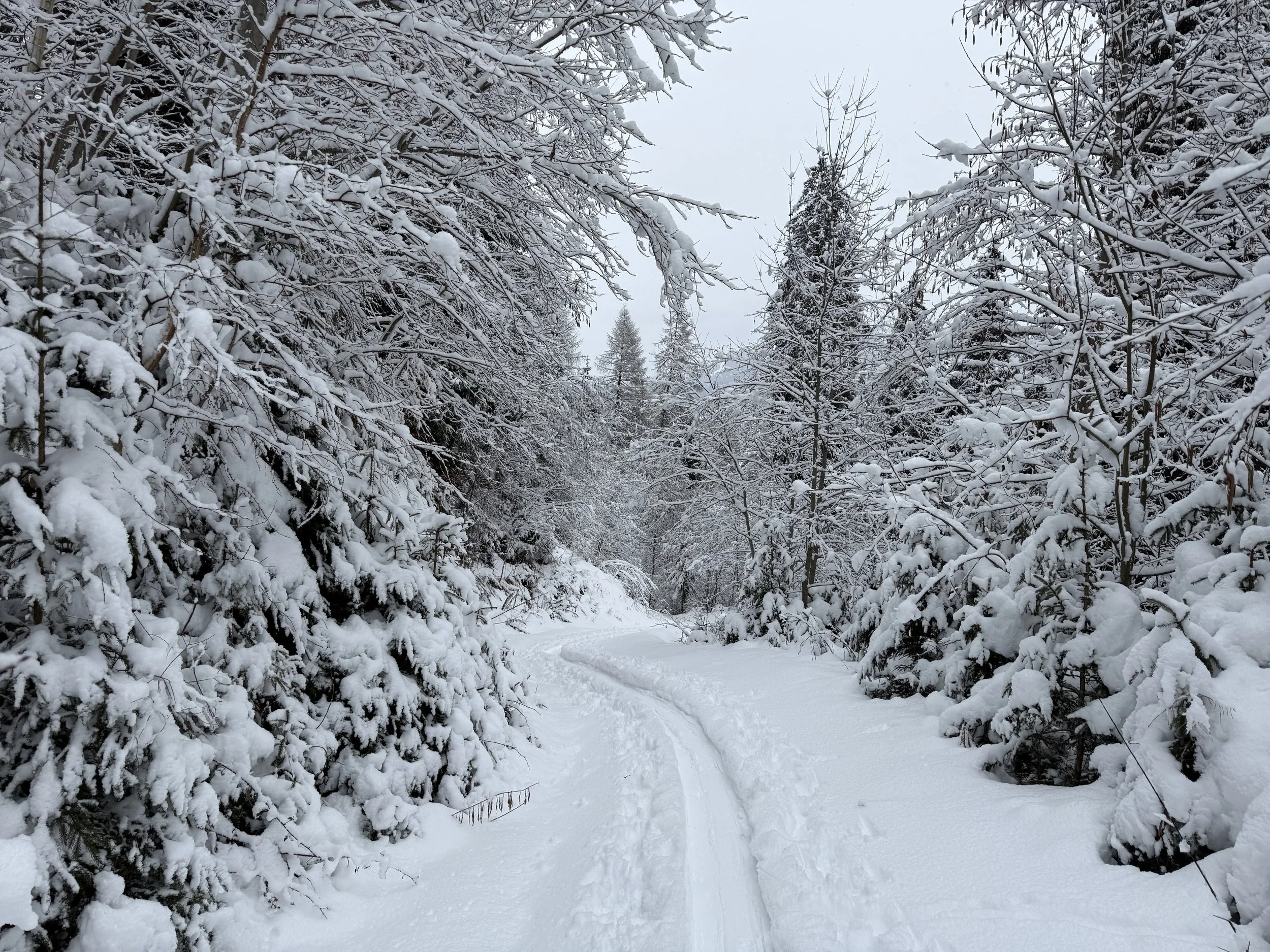
A classic “safe choice” above the Inn valley: a clear line through forest lanes and light woods, opening up only near the top—then suddenly you’re standing on a quiet viewpoint with a huge panorama. It’s popular exactly because it stays relatively protected and straightforward even when conditions are touchy.
Starting point: Weiler Hof
Ending point: Weiler Hof
Ascend: 1200vm / 3h
Exposition: north/ north-east
Route:
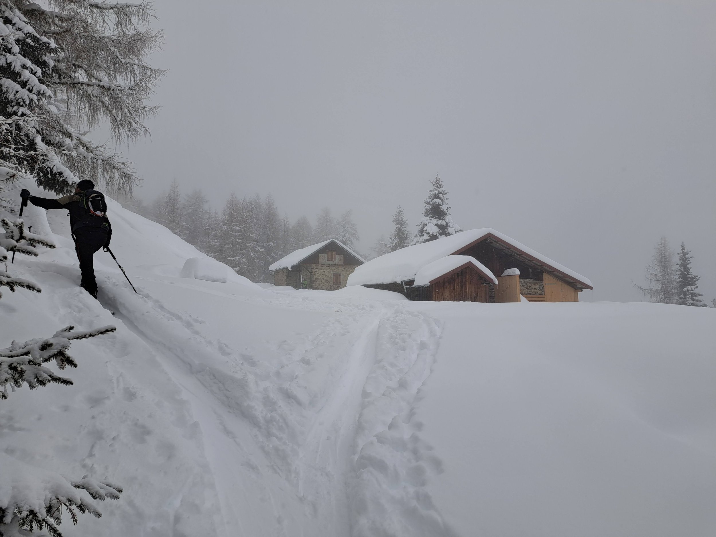
From Weiler Hof, skin under the powerline and up a meadow to the forest road toward Inzinger Alm. After the first right-hand hairpin (before a barrier), a steep hollow path (“Hohlweg”) branches left and cuts straight up through the forest. (You can stay on the forest road to skip the steepness.)
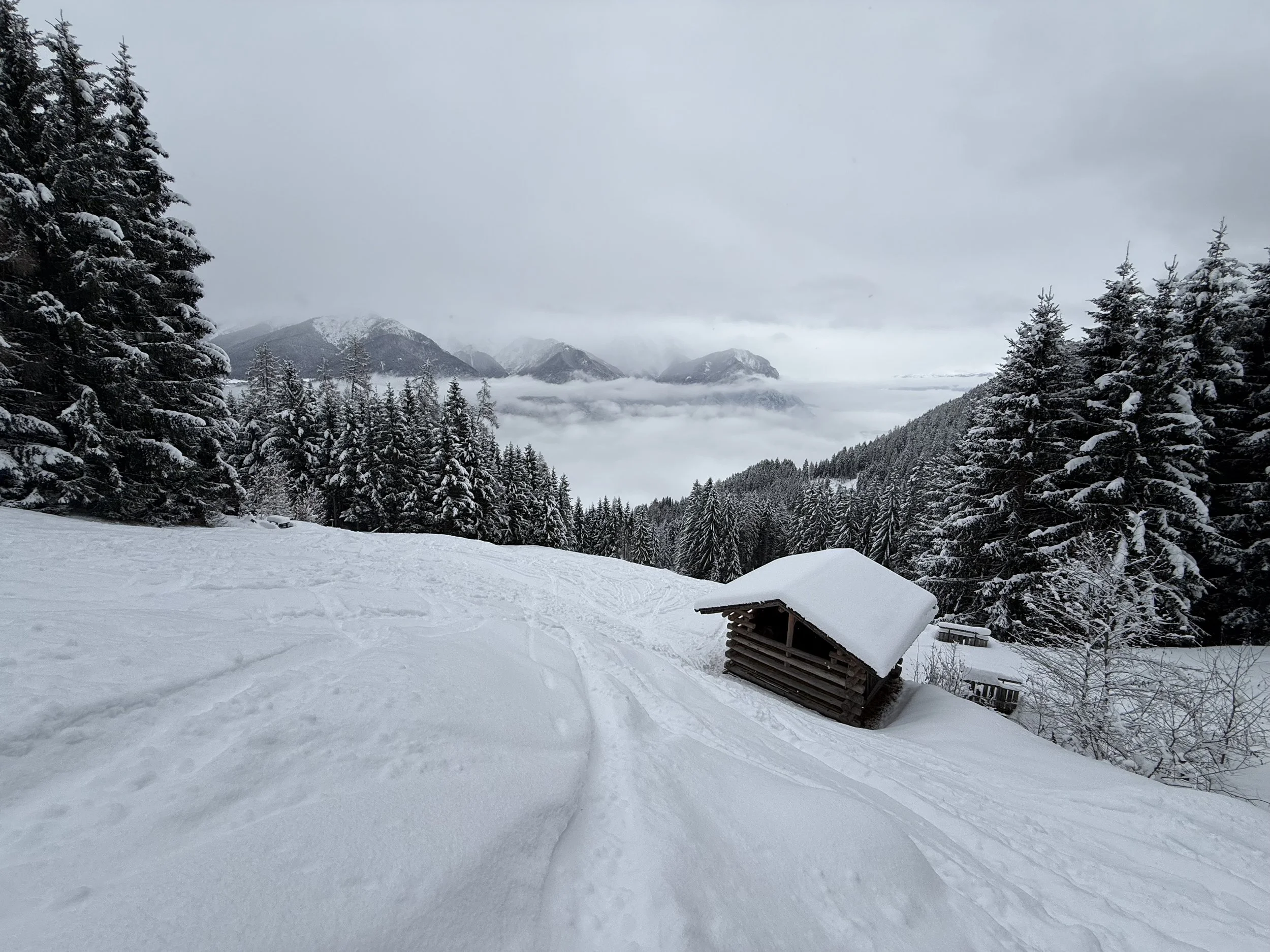
Back on/near the forest road, continue in a broad forest lane past a few huts around Horlig. You cross the road again at a wayside cross, then keep climbing through denser trees to Archbrandhütte (1696 m).
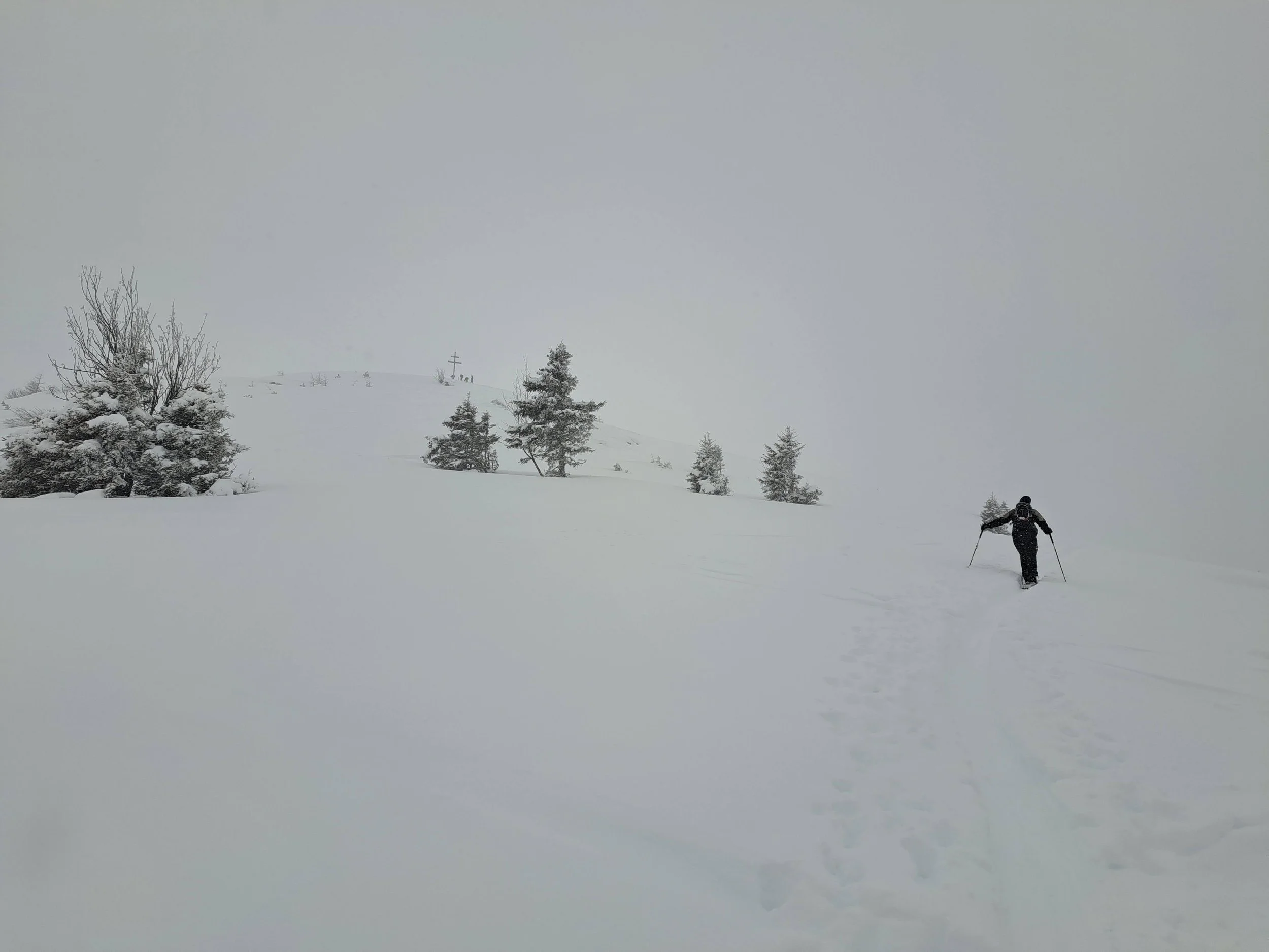
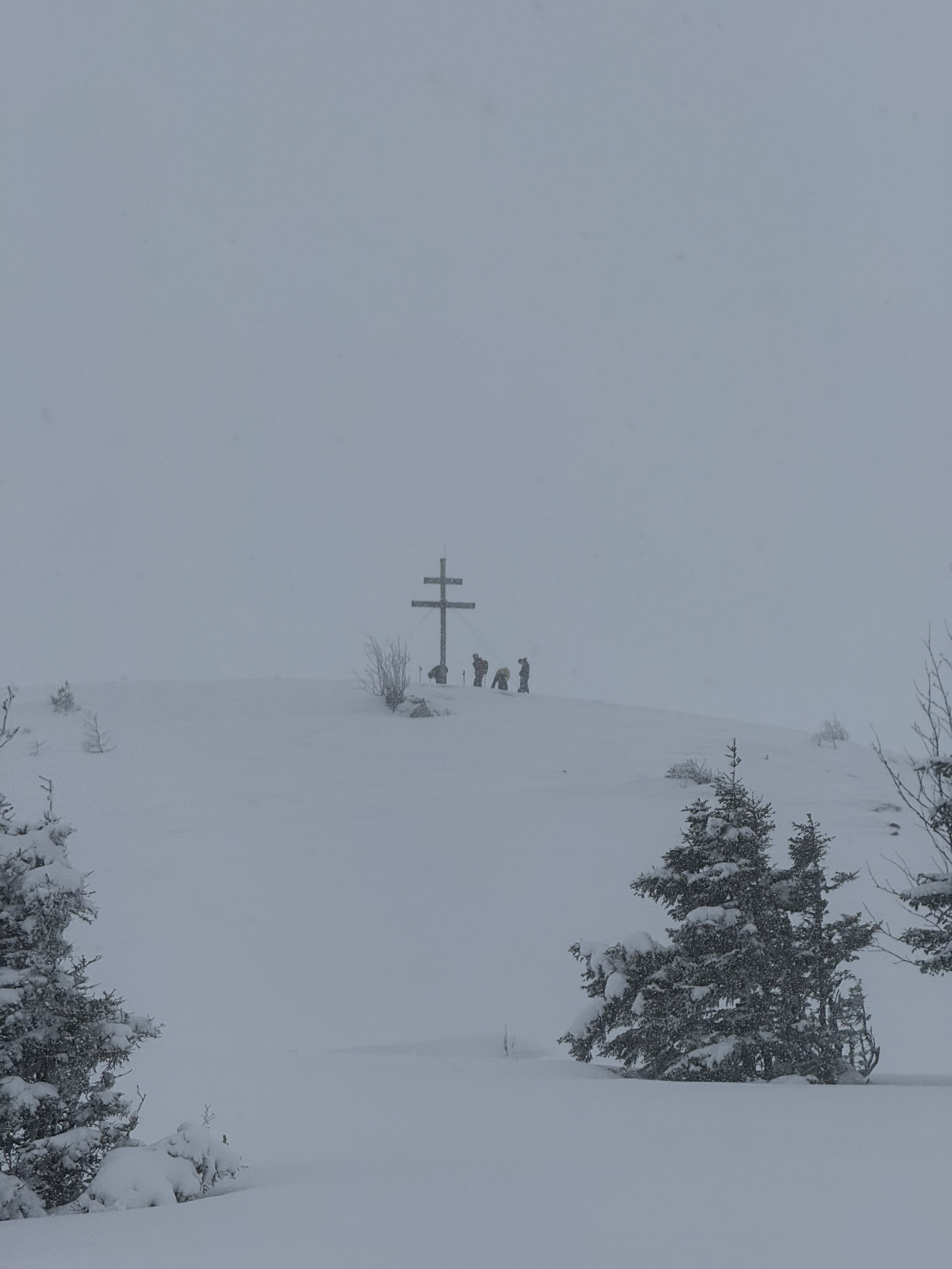
Above the hut, head SW through a short light-forest section to treeline, then over open terrain to the Jugendkreuz / Archbrandkreuz (1960 m). From there it’s another ~100 hm to the Archbrandkopf, an unadorned summit knoll / plateau.
Descent:
Almost always you’ll ski back along the ascent line. In the lower section it’s usually smarter (and more pleasant) to stay on the forest road and avoid the steeper Hohlweg if things are firm, thin, or crusty.
Photos by @the.running.nomad, @annikasuess and @max.kober