Lechtaler Höhenweg - Day 2
Technical difficulty: 8/10
Fitness: 8/10
Objective danger: 7/10
Landscape: 9/10
Busy: 5/10
The Lechtaler Höhenweg is considered a gem for mountain enthusiasts. It stretches over 80 kilometers along the main ridge of the Lechtal Alps. The route varies in elevation between 2,000 and 2,500 meters and is highly technical. This blog describes the second part of the route.
Starting point: Steinsee Hütte
Ending point: Bus stop Pfafflar Plötzigtal
Length: 29km
Vertical: 2400m
Speed: Really slow technical trails.
Route:
This post describes the second day of our adventure on Lechtaler Höhenweg. The description on the first half can be found here. You can split the route in any way you see fit (also in more days) and stay at any of the huts mentioned below. Huts require reservation!
Stage 1: Stainsee Hütte -(above) Hanauer Hütte
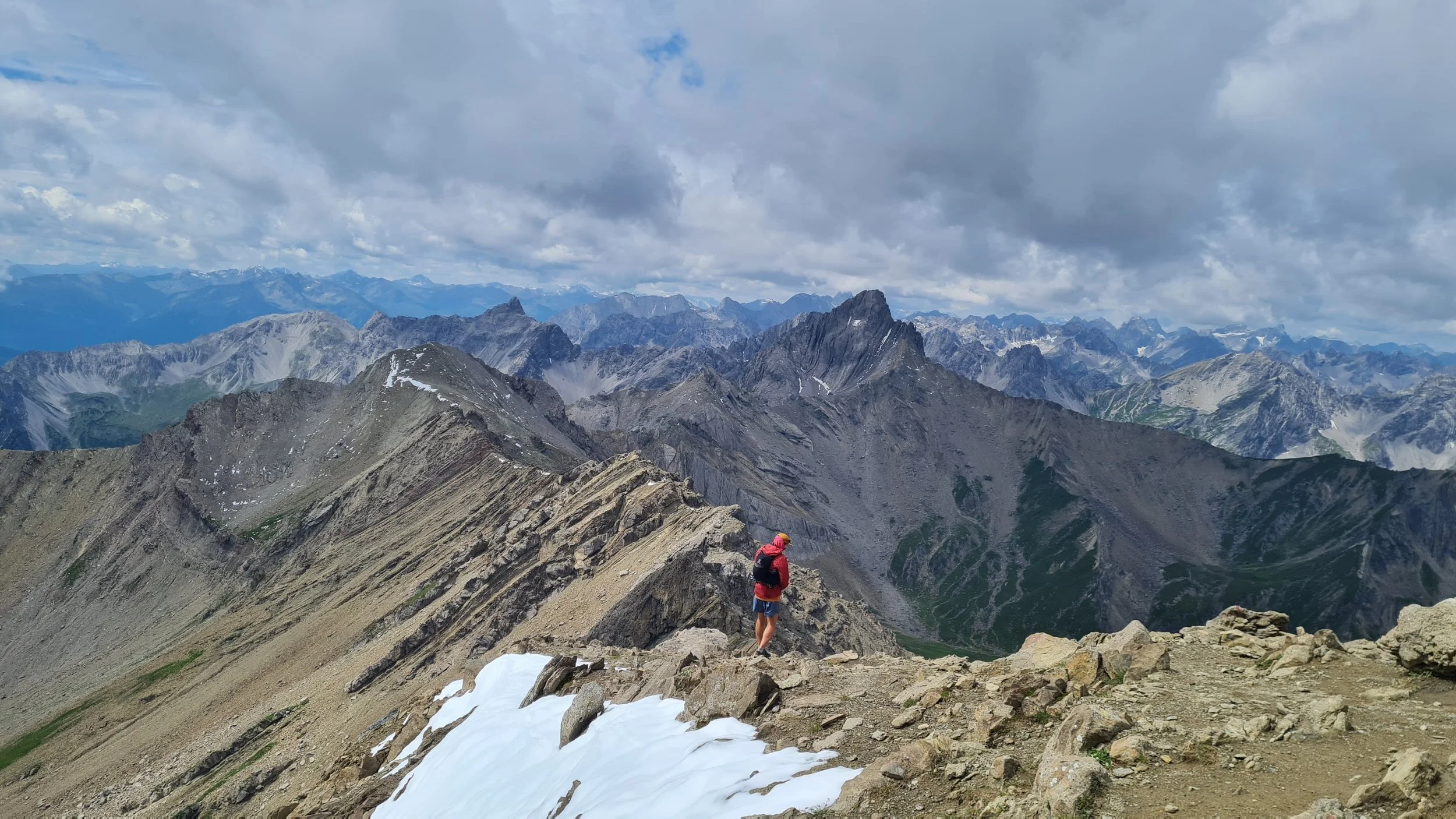
If you enjoyed the views and technical terrain of the first day, the second day of Lechtaler Höhenweg will not disappoint. We start off climbing from the Steinsee Hütte. After a few hundred meters we reach the Steinsee itself (a lake) with horses grazing around it. We pass the lake and start ascending on its back side through a scree slope. The horses get replaced by capricorns and we eventually reach a saddle at Hinterer Dremelscharte. We descent on fixed ropes and through vast scree slopes on the other side. Eventually the valley gets wider but no less rocky. We continue running out of the valley downhill untill spotting the Hanauer Hütte on the other side of the valley. But before we start the final bit of descent, we take a trail that keeps going north towards Galtseitenjoch.
Stage 2: (above) Hanauer Hütte -Muttekopf Hütte
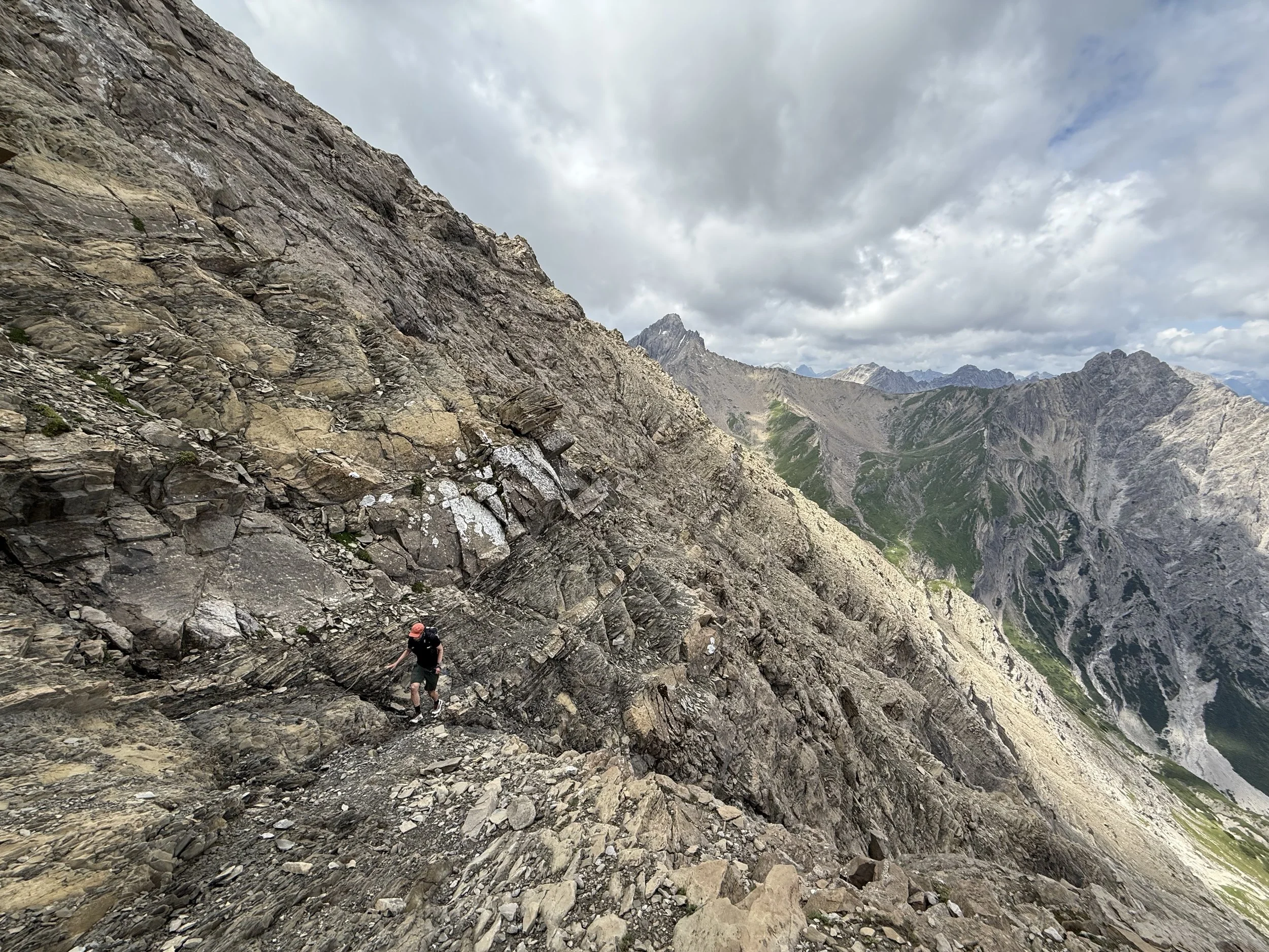
The trail start climbing again through the grassy hillside and gets increasingly rocky as it continues. We reach the pass full of sheep and swing over the other side, going east into the next valley. From here, we can see a depressingly long section of the trail in front of us. First we have to get through a long descent, circumnavigating the cirque of the valley until we reach its bottom and start ascending its much steeper and rockier eastern side. The trail heads north-east, through narrow and exposed trail in a steep mountainside, heading towards the next ridge. After a deceptively long ascent, we reach the saddle at Muttekopfscharte. From here, we can tag an optional summit of Imster Muttekopf (2774m) - count additional 30min or so for the return trip. Once back in the saddle, we have another very long and very technical descent, full of loose rock, and goat-filled meadows before reaching the Muttekopf Hütte.
Stage 1: Muttekopf Hütte -Anhalter Hütte
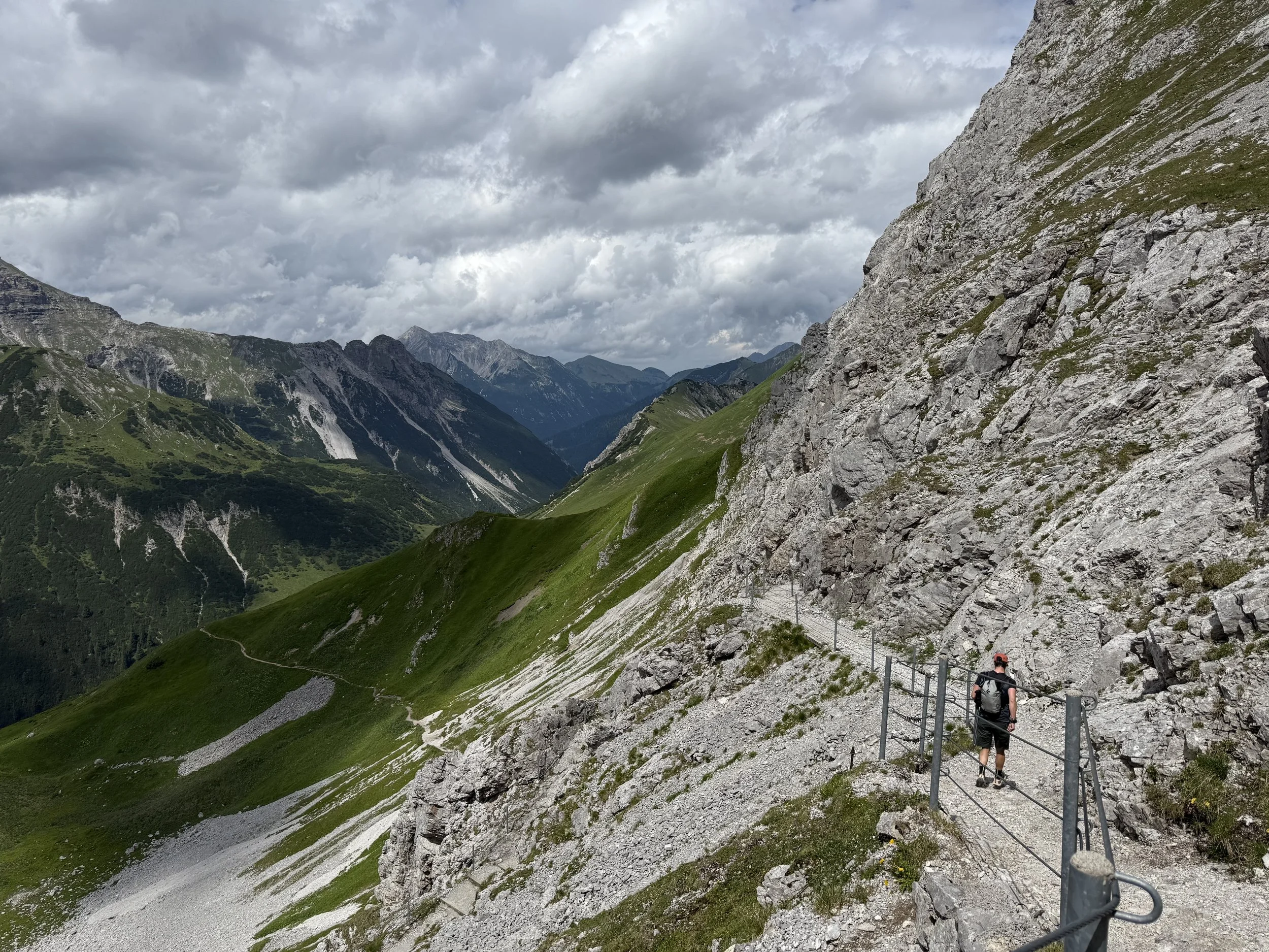
The last two uphills still stand before us. First we have to conquer the ascent to Scharnitzsattel, we a scramble-y technical finish. After another steep descent, we reach the main car road at the top of the Hahntennjoch pass. We cross the road and continue on the next uphill, traversing the south face of Falscher Kogel to north-east until reaching the last pass of the route at Steinjöchl. From here the trail is more or less downhill. First we descent steeply through a nice trail cut into the rock for a view zig zags, before traversing north-east until reaching the Anhalter Hütte.
Stage 1: Anhalter - finish
From the hut, all that’s left before us is a very long downhill through Plötzingbachtal. First descending steeply down on grassy slopes, quite unpleasant on the tired legs. Once we reach the valley floor, we follow the stream downhill on a very runnable trail that is quite flat-ish, so the stream descends much faster below us. At the very end, this results in a short very steep last downhill back to the parking places and a bus stop at Pfafflar Plötzigtal, with an excellent spot to have a dip in the river.
Photos by @bennibru and @the.running.nomad


