Hirzerkamm
Technical difficulty: 7/10
Fitness: 8/10
Objective danger: 8/10 (one spot. read below)
Landscape: 9/10
Busy: 2/10
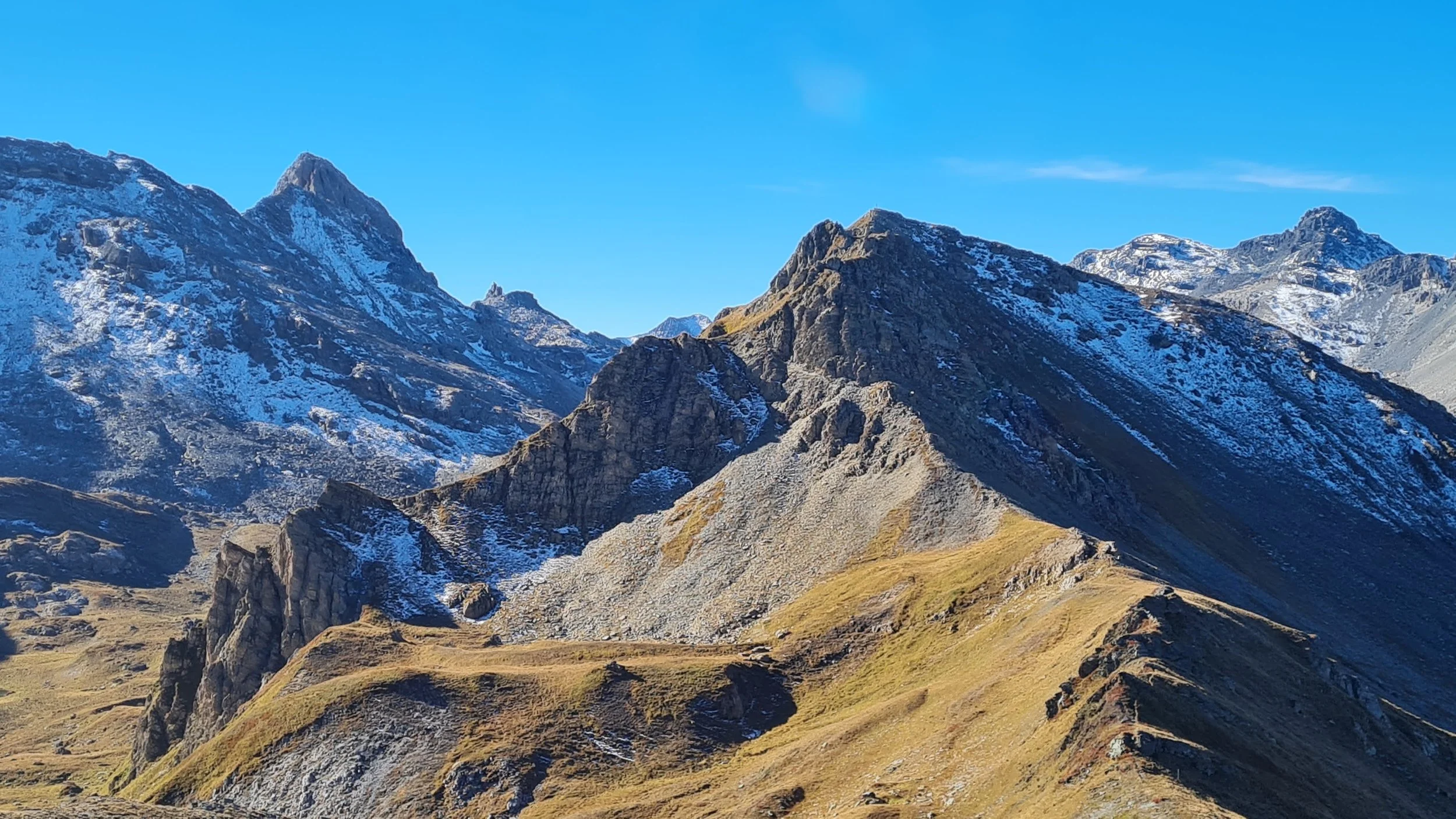
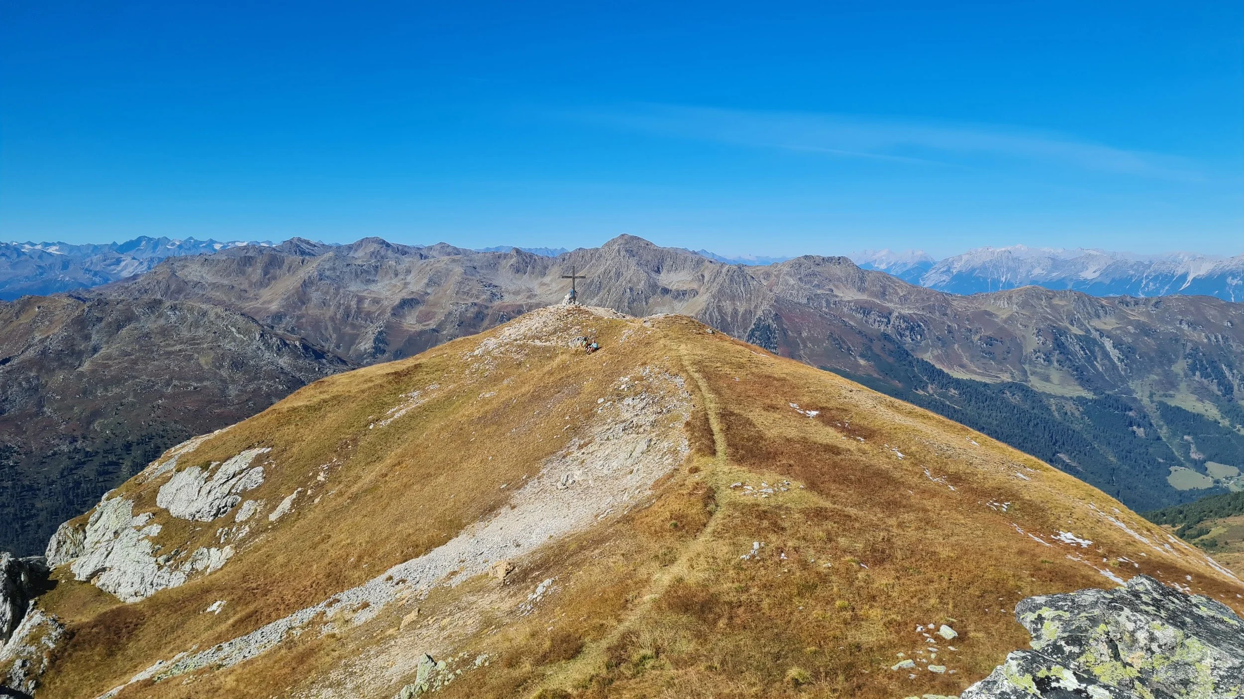
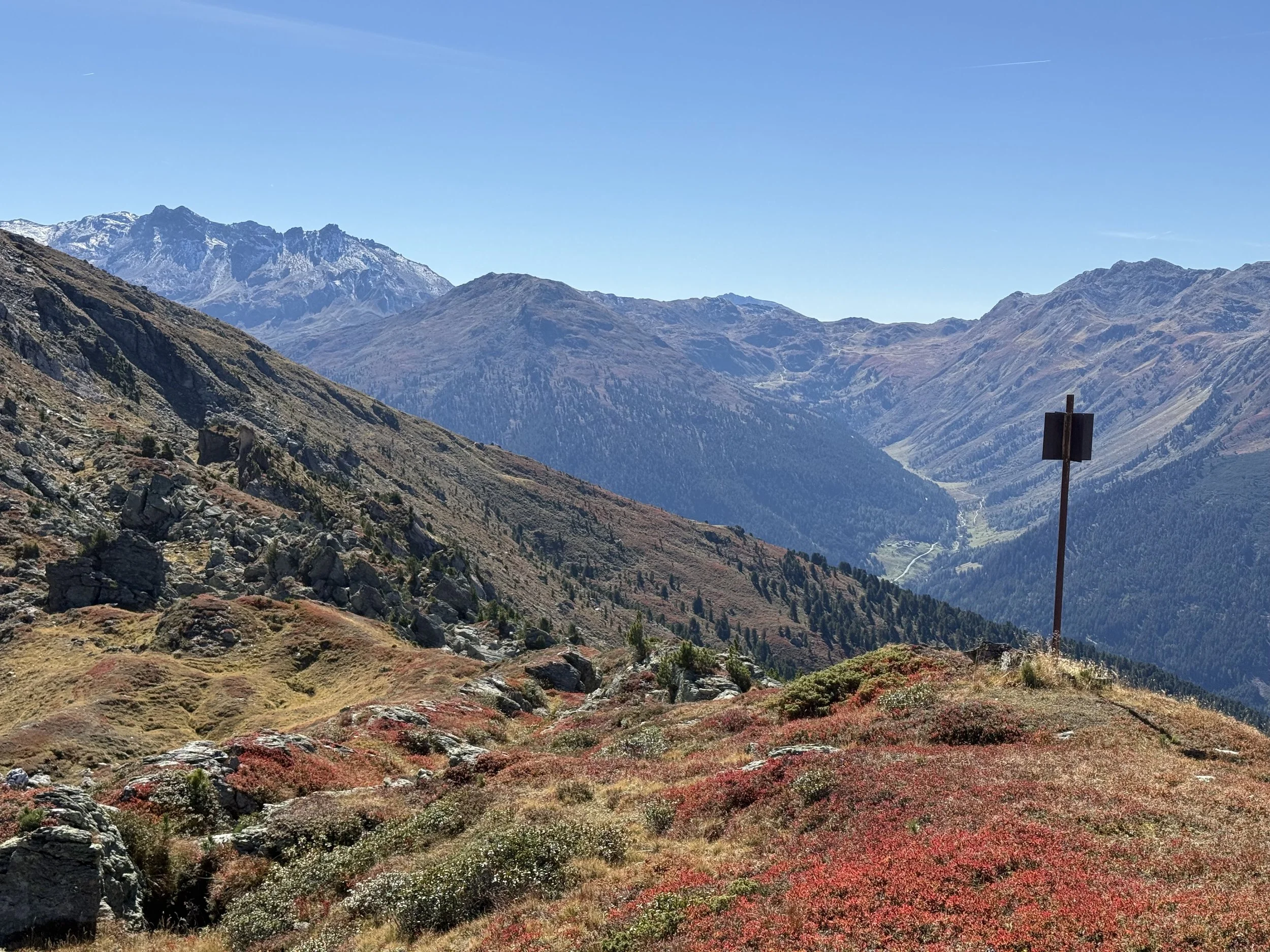
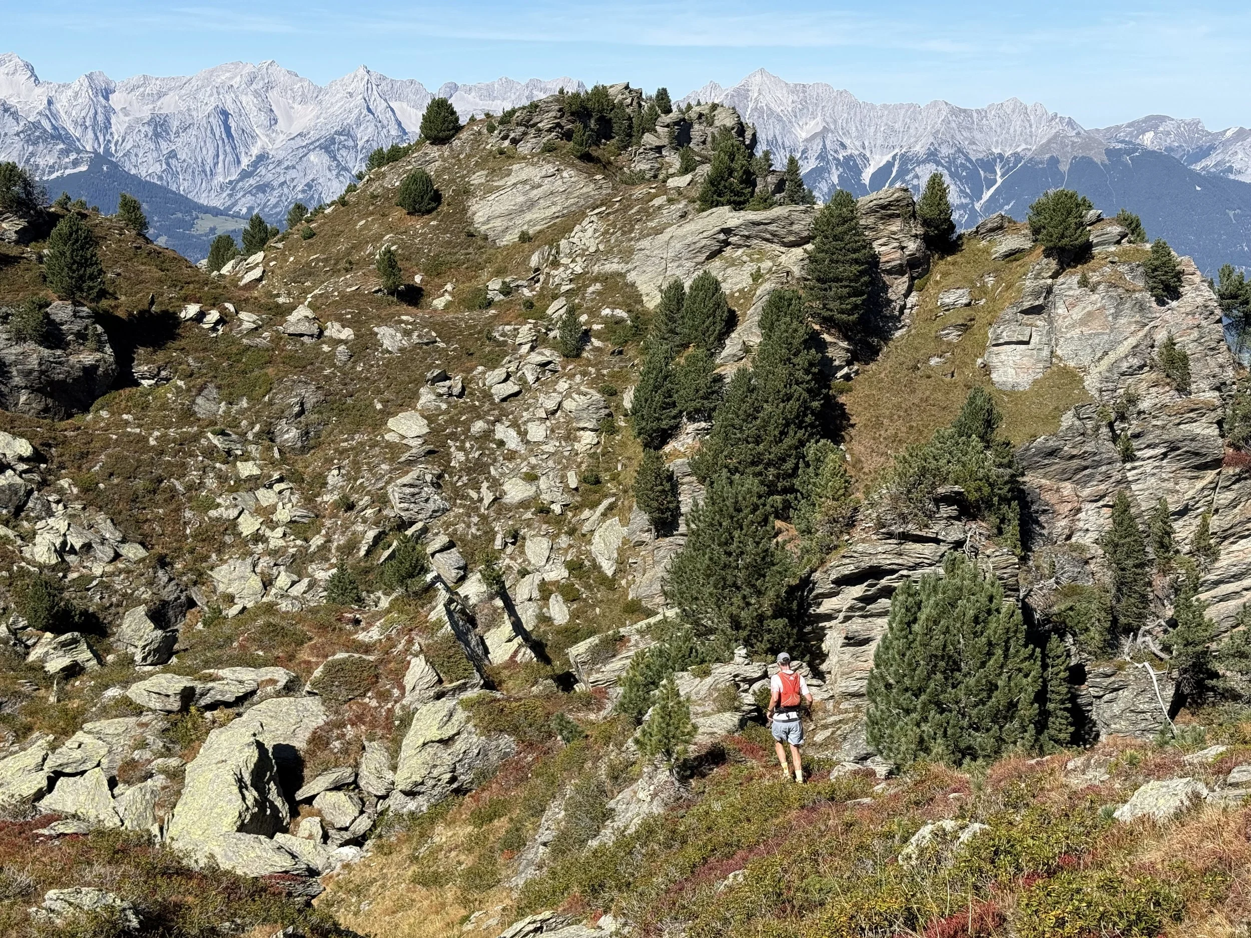
A logical ridge line with a lot of off-trail segments, trailing the east ridge of the Wattener Lizum military area.
Starting point: Lager Walchen
Ending point: Lager Walchen
Length: 34km
Vertical: 2400m
Speed: First and the last third are very runnable. The ridge is slow going.
Route:
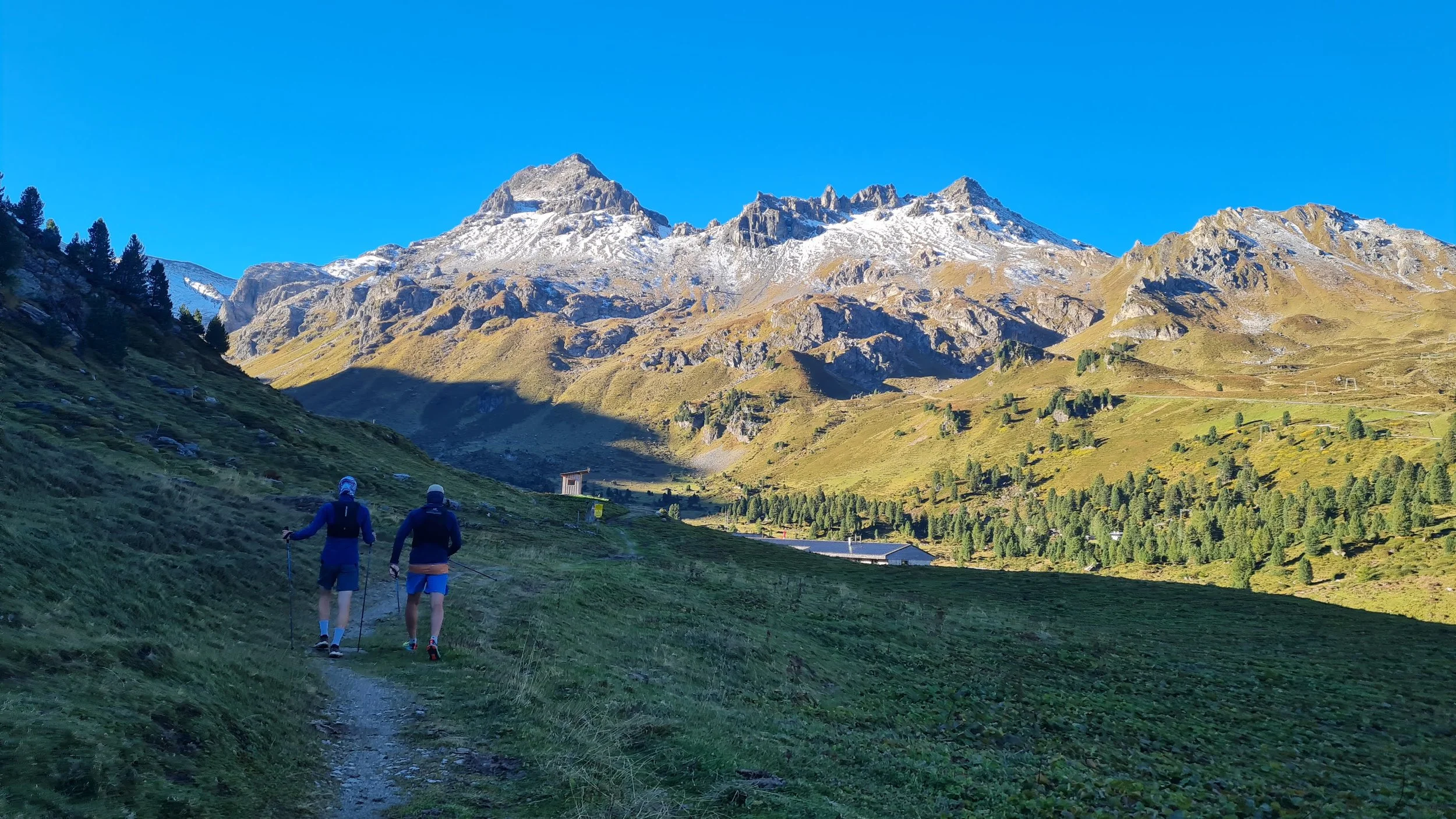
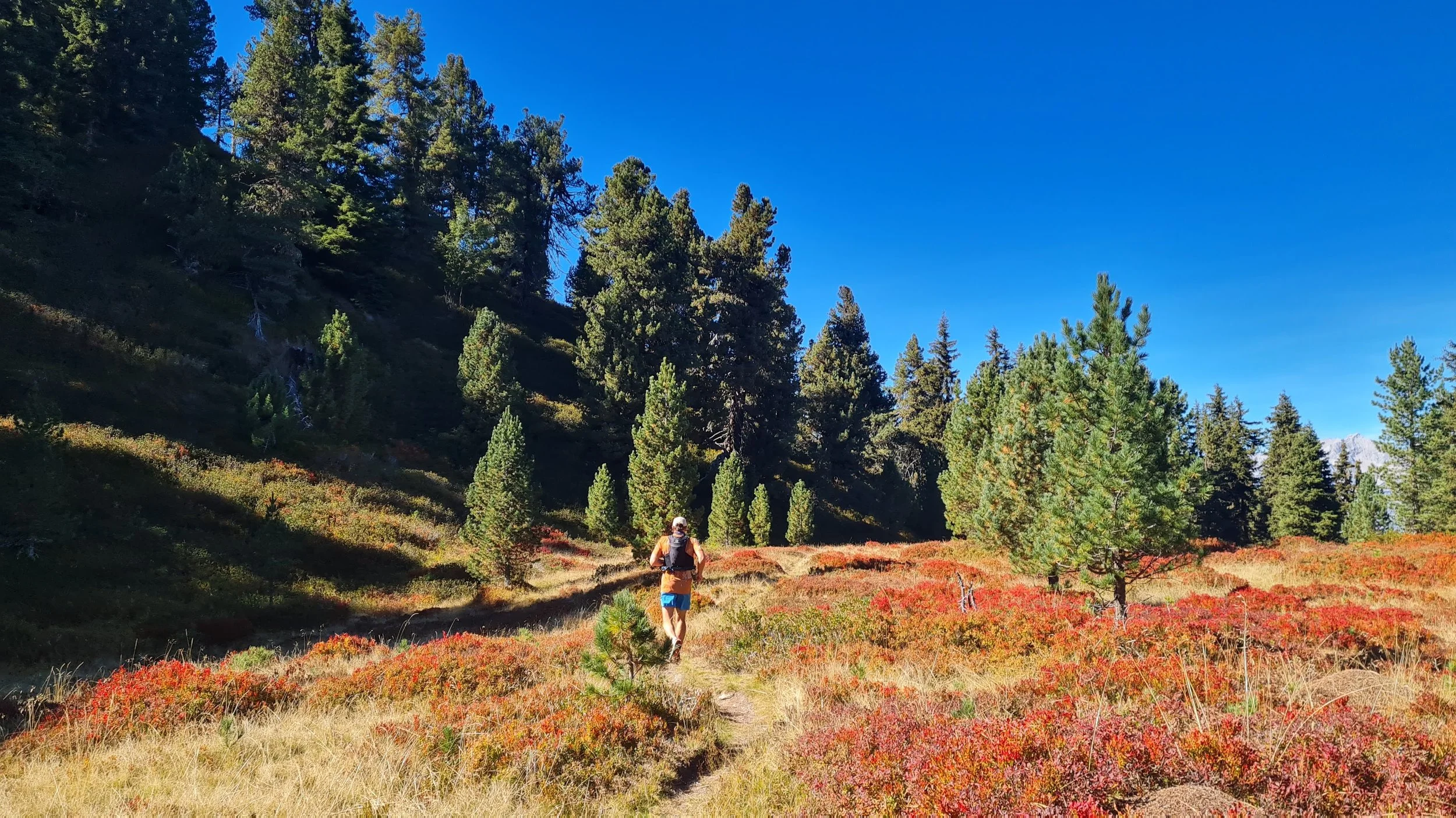
We take off from the parking lot at Lager Walchen. This is an active military zone. Please check this website for current closures for military exercises and plan accordingly. Shortly after the parking lot, we cross a military checkpoint and leave the road, picking up a trail called Zirbenweg, heading south into the valley, following the signs to Lizumer Hütte.
The trail gently ascends through the valley through forests and alpine meadows. Shortly before the hut, we pick up the trail heading east, following the signs to Torjochl. At around the highest point, we leave the trail behind and start ascending the ridge north heading towards a visible summit. From here the trails are faint, often unmarked and sometimes hard to find.
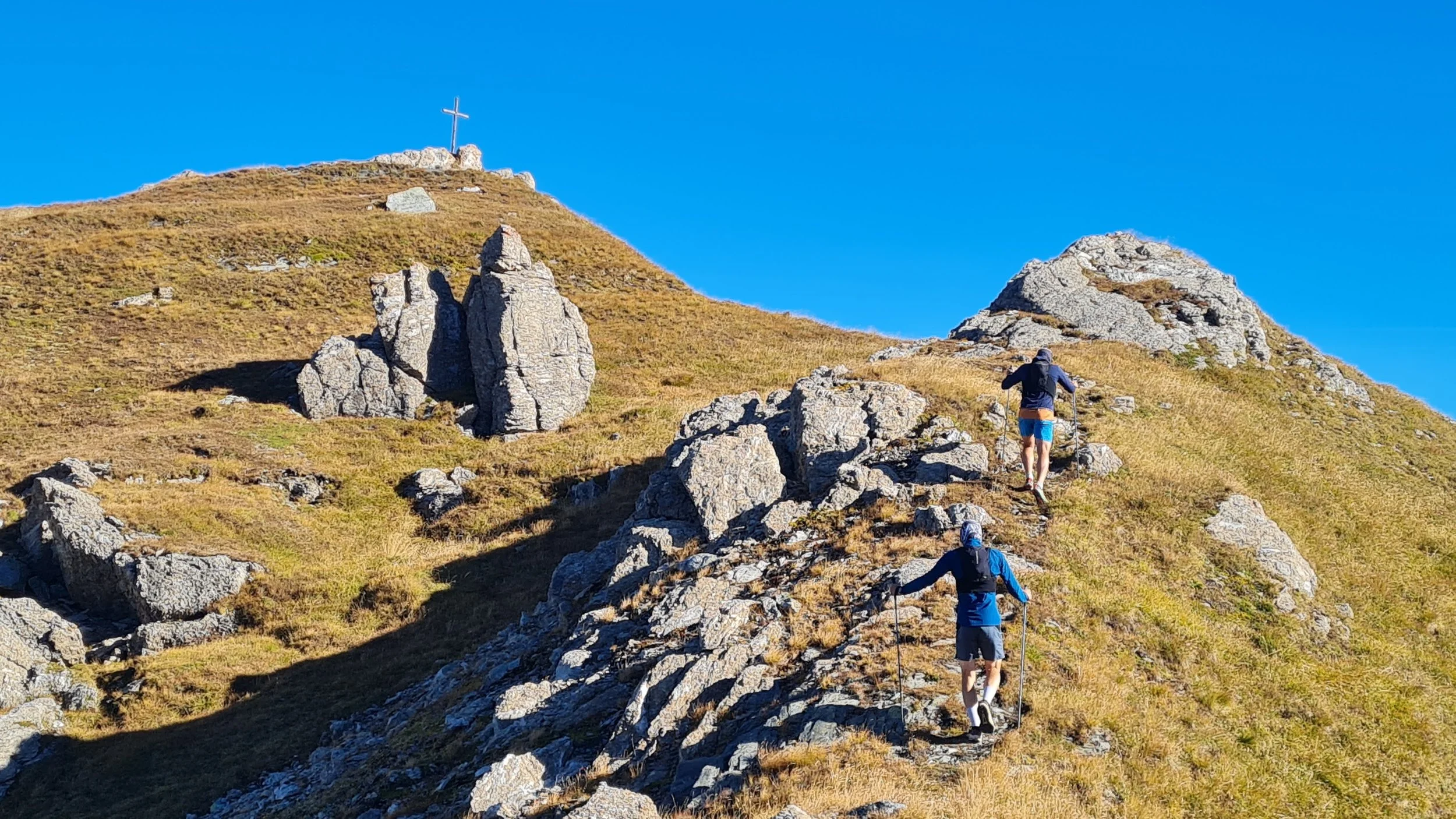
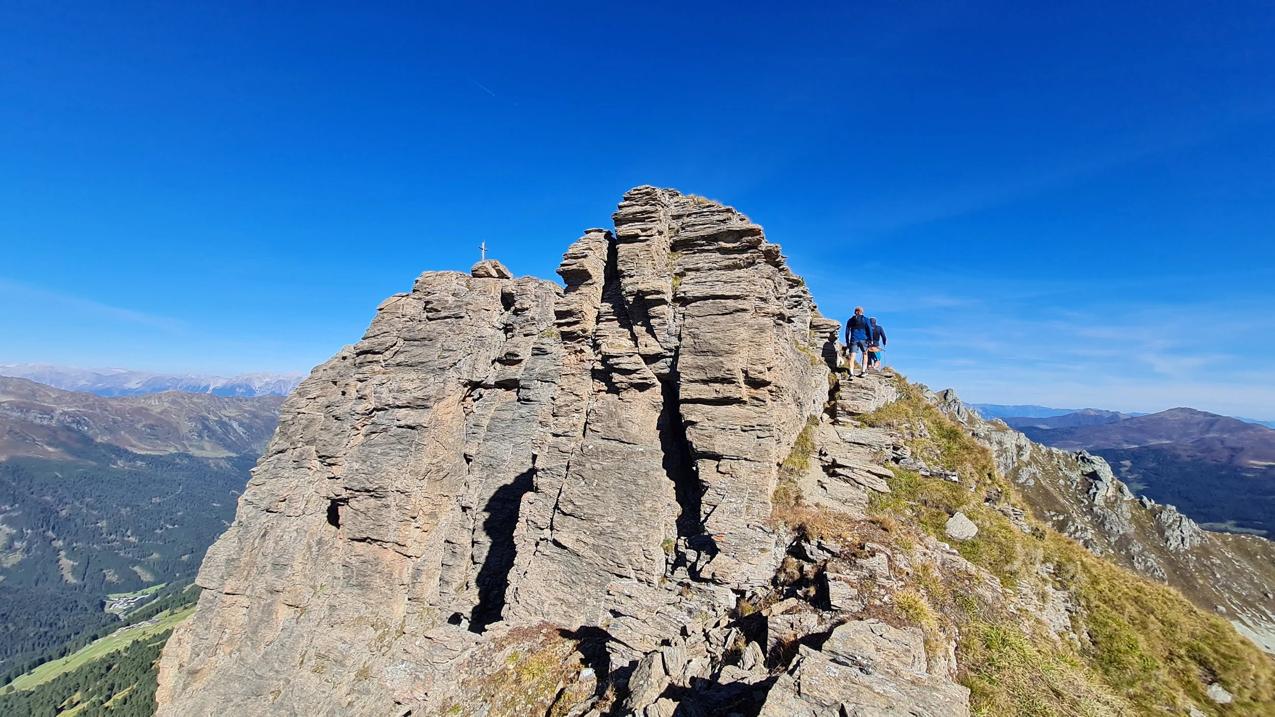
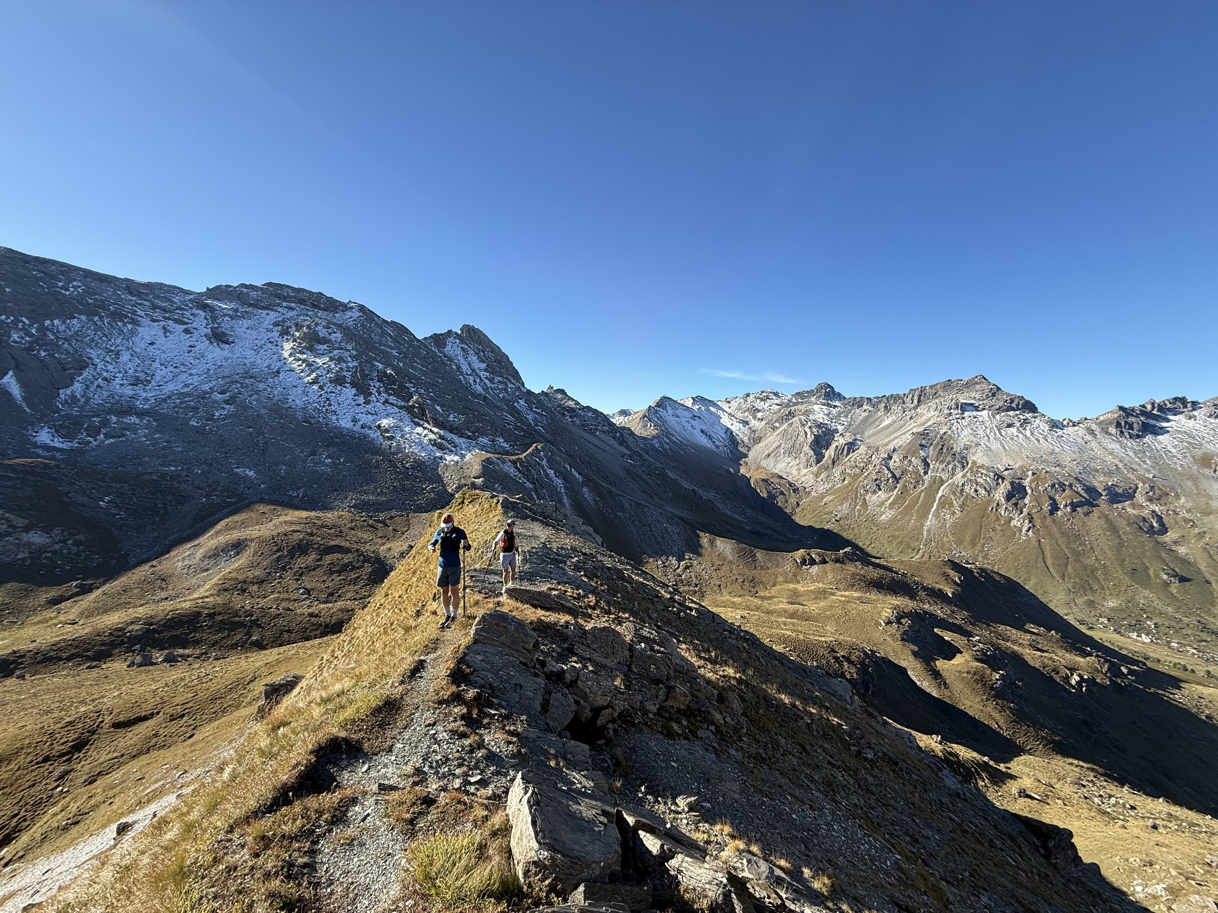
After a few hundred vertical meters, we reach the summit of Graue Wand (2594m), the first out of 9 summits along the way. We continue ascending to the Torspitze (2663m) only a short distance further. The descent from the summit is the crux of the route from route finding, exposure and objective danger. If you are feeling confident, you can follow the true ridge and down climb a pretty crumbly rock ridge (max UIAA I-II). If not, you can descent over grassy slopes to the east for a bit and taking a less steep rocky couloir down. The grass is very steep and not advisable to cross when wet.
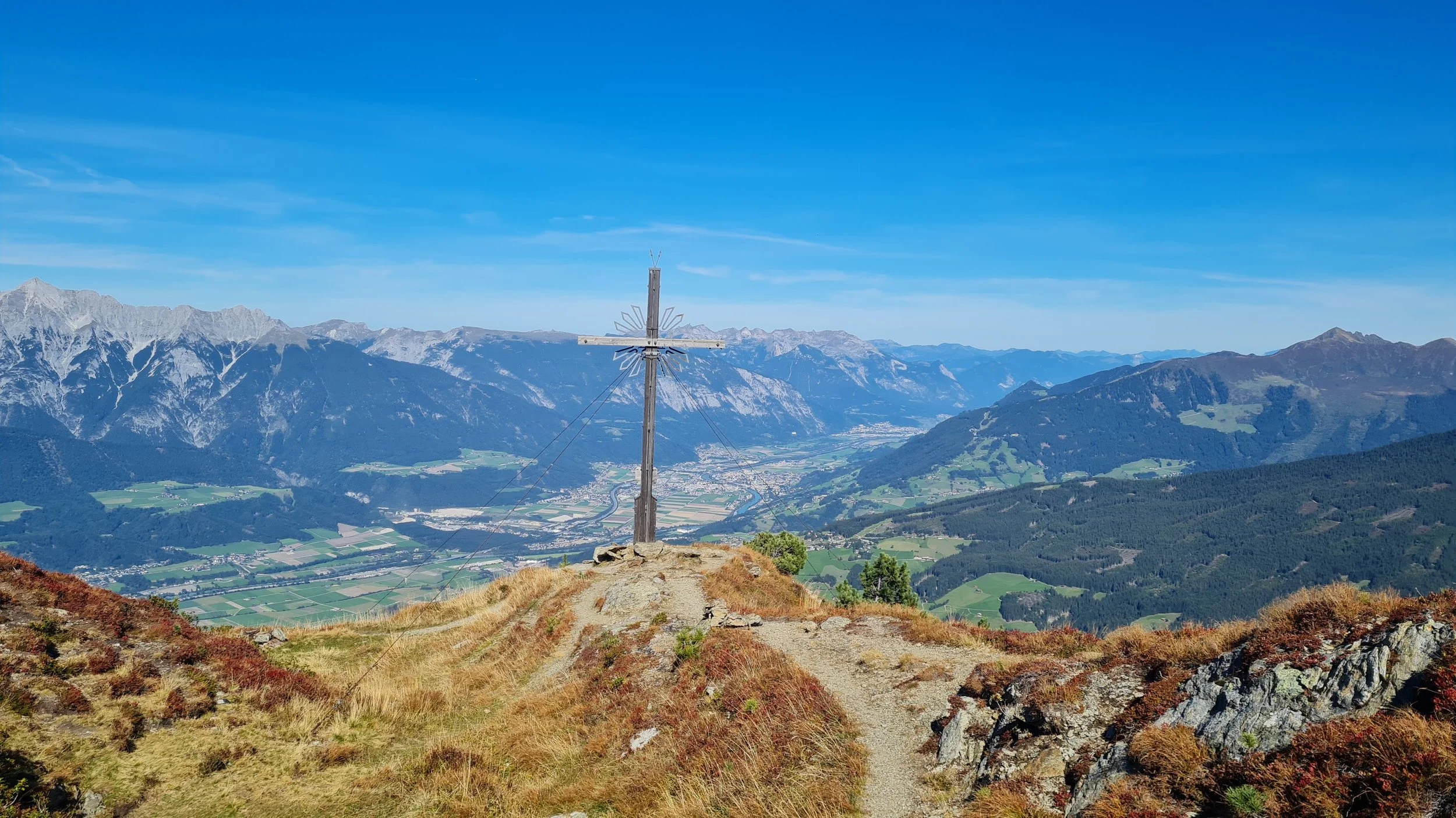
From here we try to stay true to the ridge whenever possible. There is no marked trail on this section, the ridge leads us to the rocky outcrop of Eiskarspitze (2611m) and further along, passing through the saddle and continue to the double summit of Hippoldspitze (2642 m). There is a summit cross on a grassy hill but the official summit is on a rocky outcrop little bit to the east.
We descent down an unusually prominent trail down to the Krovenzjoch saddle and up the well marked trail to the next summit of Krovenzspitze (2619 m). Here we leave the marked trail again and really on our navigation skills to follow the ridge further to the highest summit along the way in front of us. The trail here is very faint, sometimes non-existent.
There are some cairns along the way, but the specific trails don’t really matter that much. Just use your common sense and in no time we are standing on top of the summit of Hirzer (2725 m). The ridge gets easier here, but still lacks any marked trails and often times even really visible path. Sticking to the ridge line, we pass the summits of Sagspitze (2401 m) and Poverer Jöchl (2318 m) along the way.
The trail starts appearing again and leads through a maze of rocky outcrops to the last summit at Roter Wand (2253m). 9 out of 9 behind us. The trails become well marked and almost unbelievably runnable compared to our day. We start with technical descent steeply across meadows and forests before connecting to a forest road.
Once on the forest road, we can stretch our legs and open our stride. We just follow the GPS track and enjoy the faster pace for the last few kilometers back to the parking lot.
Pro-Tip: There is no water on the ridge on no huts along the way. Refill your bottles when you can.
Photos by @the.running.nomad, @bennibru and @joshuaschink