

Krovenzreib’n from Lager Walchen
Technical difficulty: 5/10
Fitness: 9/10
Objective danger: 6/10 (some steeper avalanche-exposed sections)
Landscape: 7/10
Busy: 4/10
An adventurous loop through the central Tux Alps for strong and well-conditioned ski tourers, with potential for excellent powder descents.
Starting point: Lager Walchen
Ending point: Lager Walchen
Ascend: 2850 vm / ~9 h
Exposition: all, descents mainly north-east, north-west and west
guest post by @bennibru
Route
The tour starts at the Lager Walchen parking lot, a popular base for ski tours into the Wattental and Mölstal valleys.
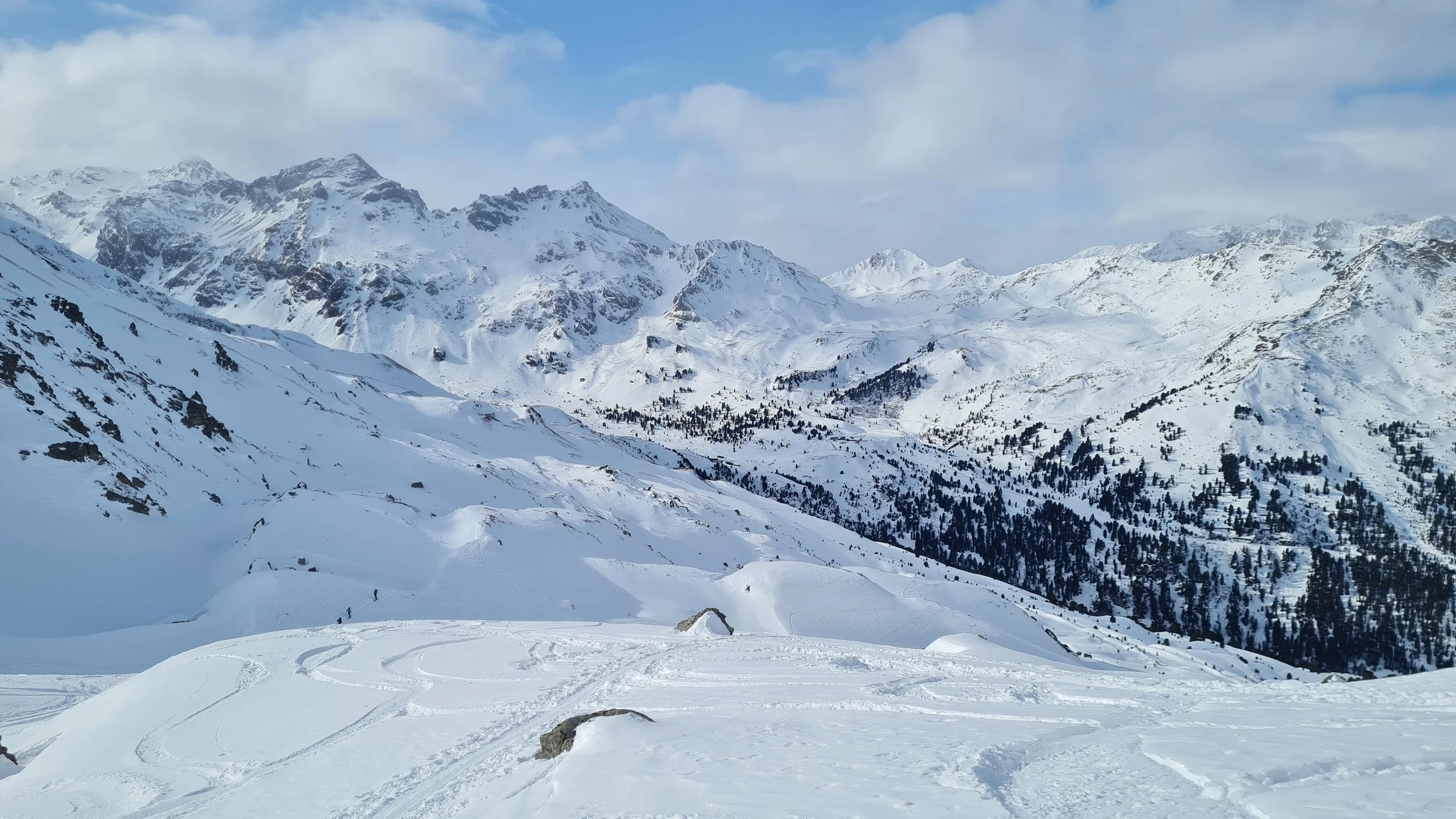
Ascent to Torspitze (2663m)
We follow the ski route toward Lizumer Hütte. When we reach open terrain after a flat part the route splits into three directions:
– left begins the ascent toward the Krovenzspitze,
– right leads past the power station toward the road,
– straight across flat terrain to the inner Melangalm where the Zirbenweg (summer trail) starts.
We follow the third direction. Some sections here can be unpleasant and icy, but soon we reach more open terrain again and follow several forest clearings uphill until we enter the wide, open slopes below the Torspitze.
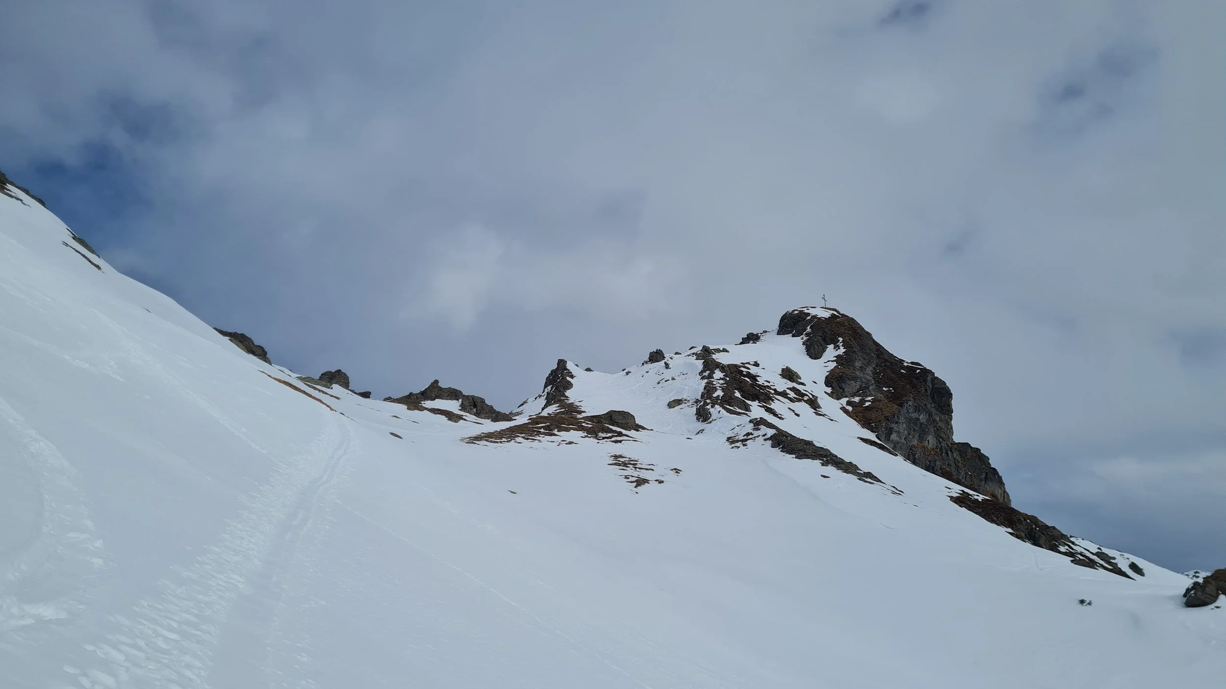
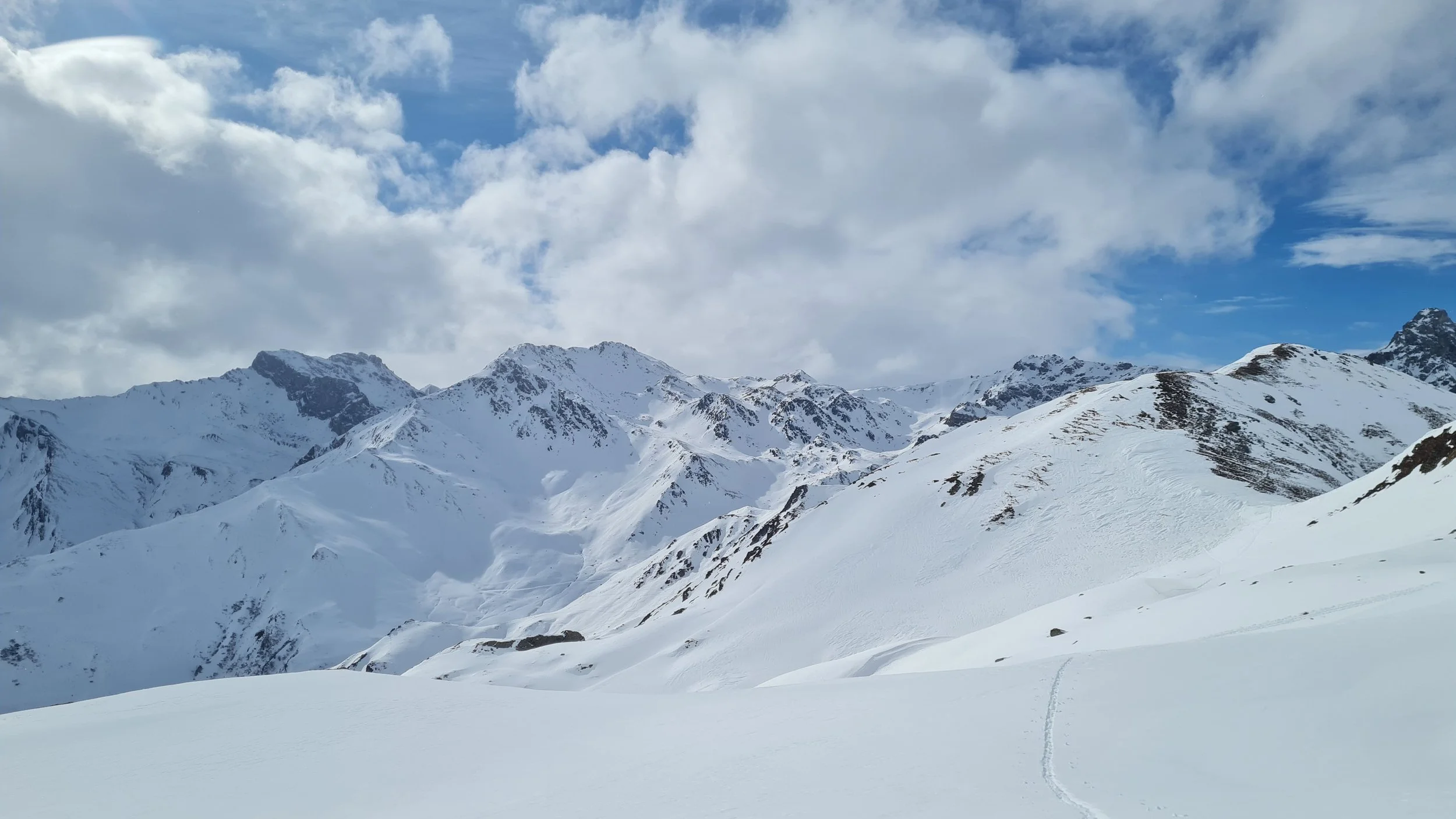
Several options lead toward the summit: either traverse south to join the main ascent route coming from Lizumer Hütte, or – as shown in the GPS track – approach north of the Torspitze toward the Eiskarjoch, from where a short steep section along the north ridge leads to the broad summit plateau of Torspitze (2663 m).
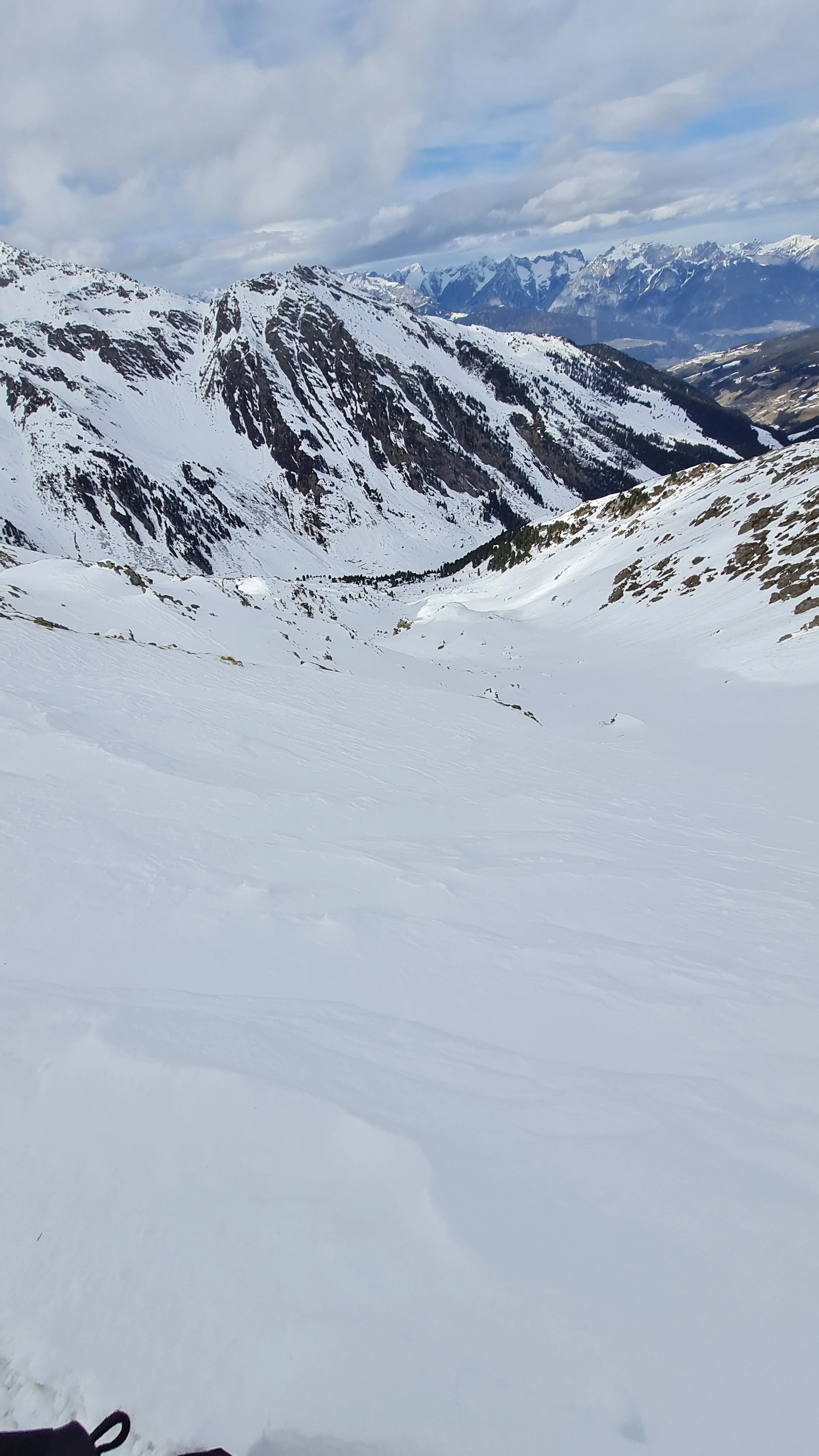
Descent from Torspitze
From the summit we carefully choose an entry into the north-east bowl. At the flat end of the bowl the logical line continues toward the Vallruckalm, though with some uphill steps it is also possible to cross the ridge to the east and descend below the slopes of the Tamlspitze.
Below the Vallruckalm we follow the forest road downhill until the junction at 1991m with signs pointing toward Geisljoch.
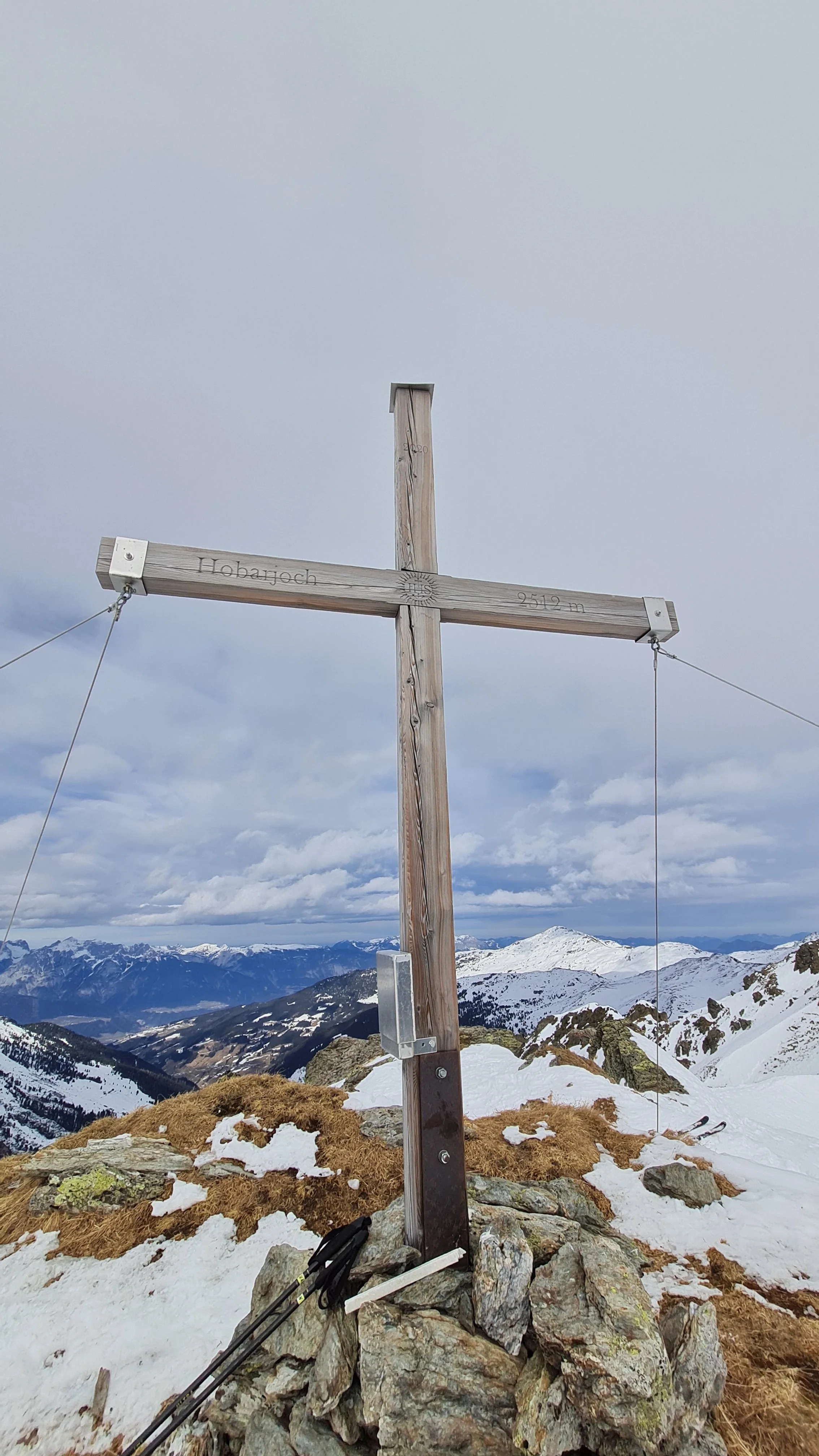
Ascent to Hobarjoch (2512m)
From the junction we continue across rolling terrain, repeatedly crossing the forest road while heading directly toward the Almkogel. This section faces due south, meaning temperatures can be high and the snow surface strongly affected by time of day.
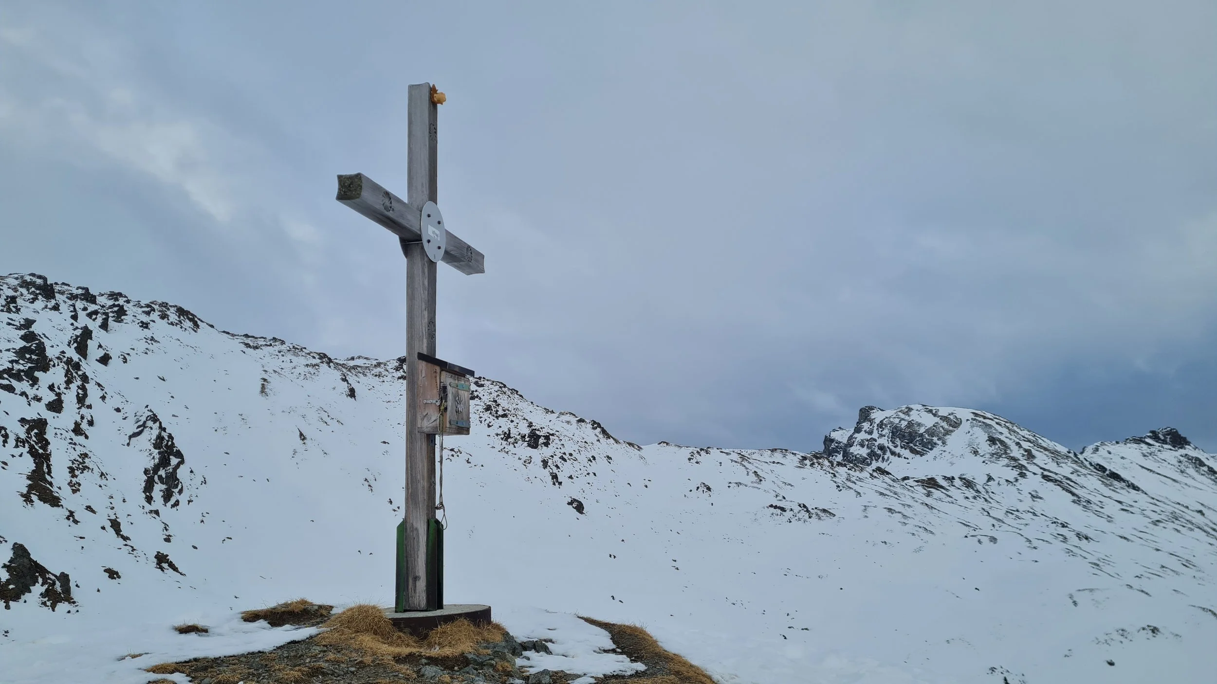
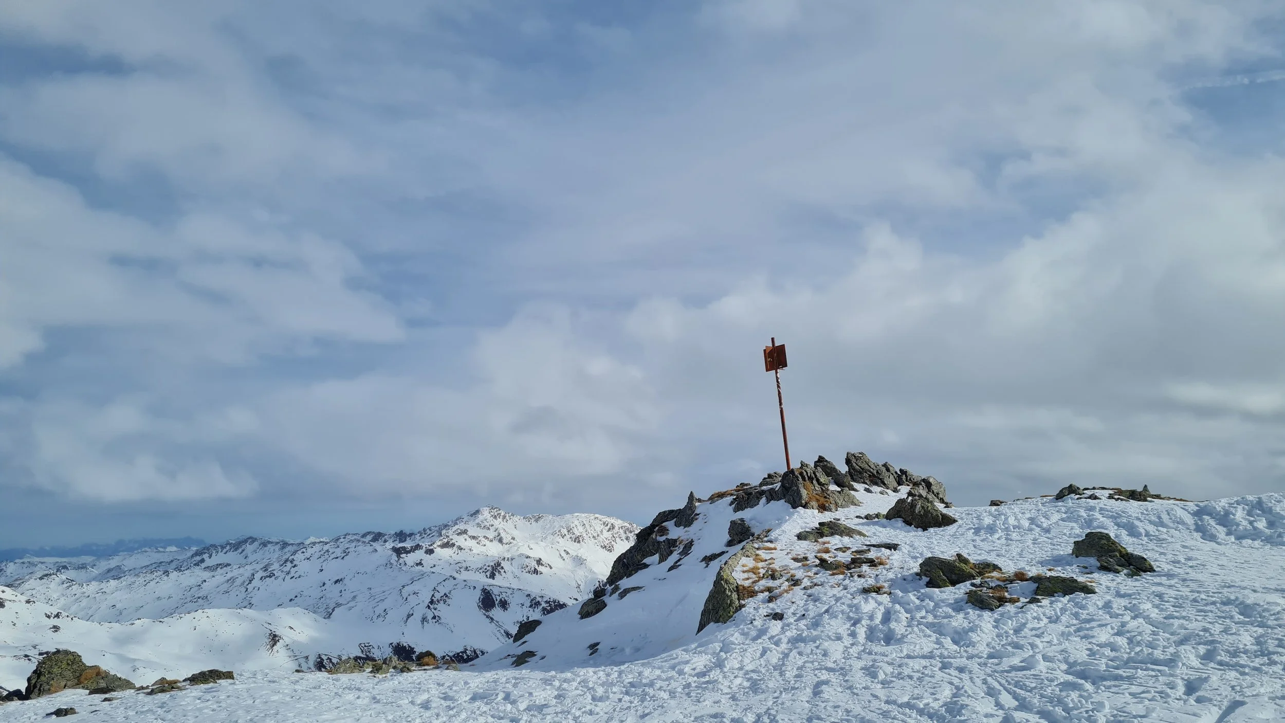
Below the Almkogel we keep right and climb an easy gully leading to the cross - marked summit of Hobarjoch, offering magnificent views into the Tux Valley. A few meters further – after a short skin descent and ascent – lies the actual summit with its survey marker (2512 m).
Descent from Hobarjoch
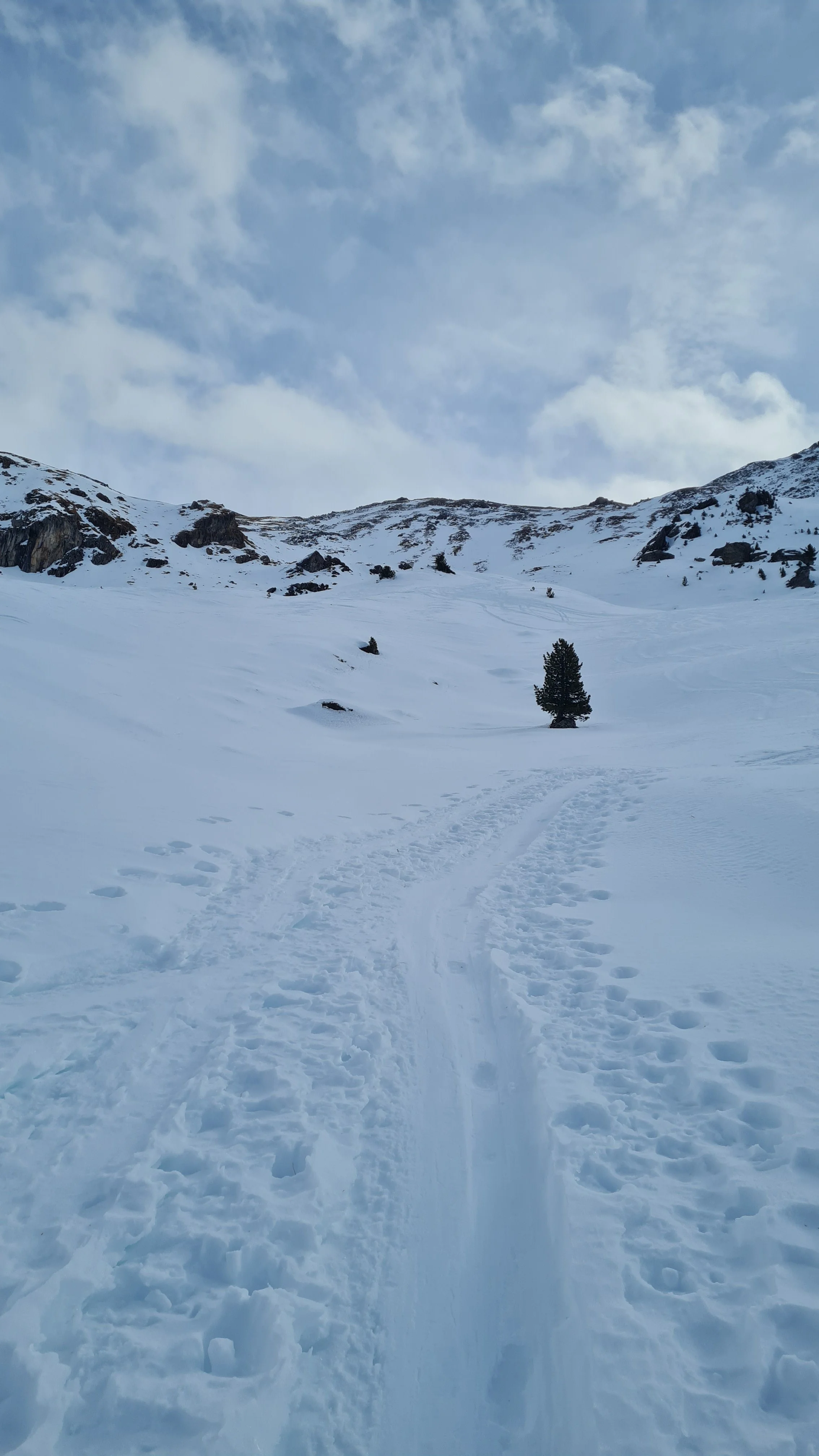
Now comes one of the highlights of the tour: the north-west facing bowl descending toward the Krovenzalm. Thanks to its aspect and steepness it offers excellent ski terrain with great powder potential – but also requires very safe avalanche conditions, particularly at the steep entrance.
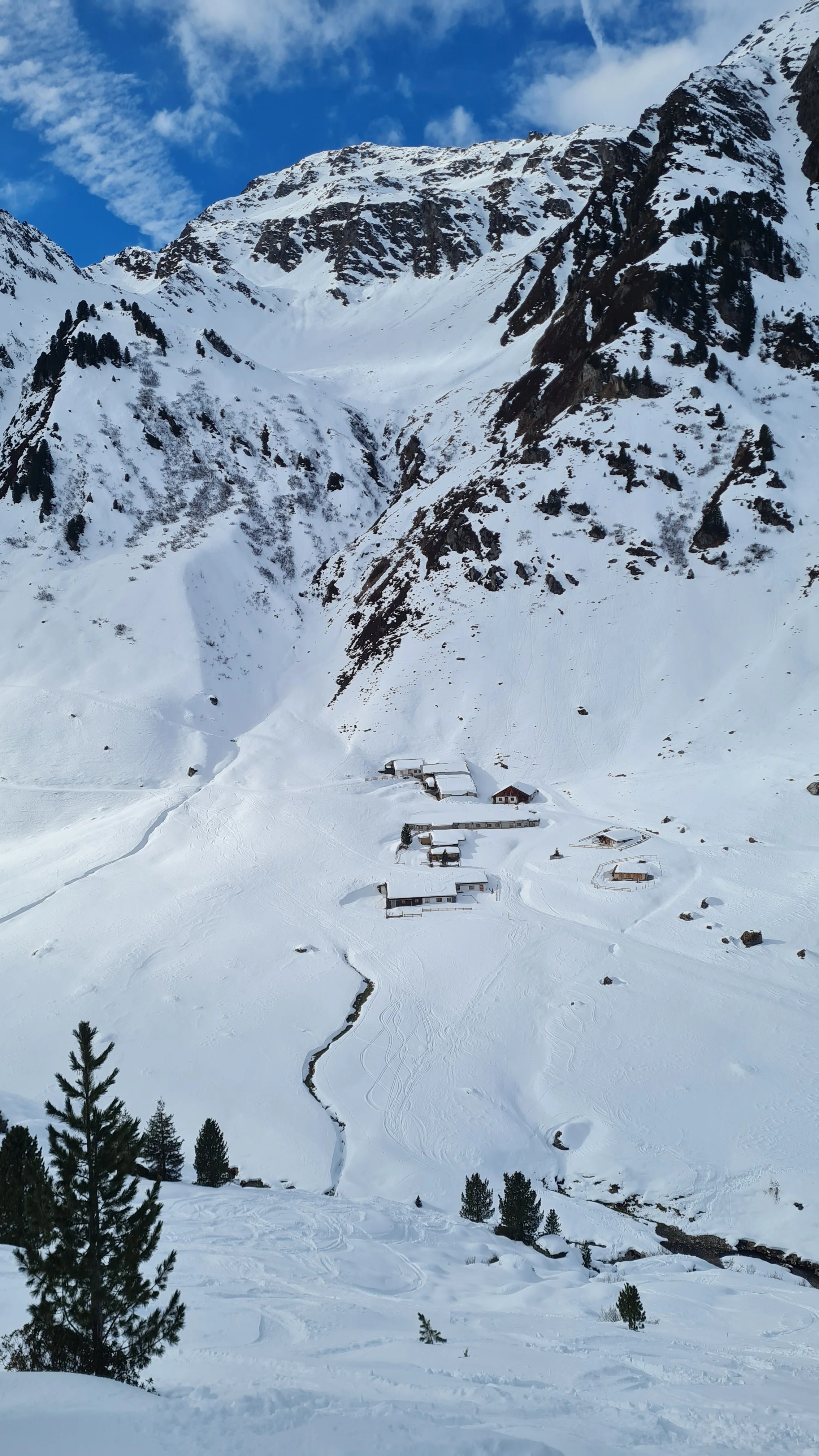
We start the descent from the hollow between the cross summit and the survey marker. The bowl is wide enough to allow some variation while searching for the best snow conditions. Near the bottom we pass through lightly forested terrain until reaching the stream just below the Krovenzalm, where skins go back on.
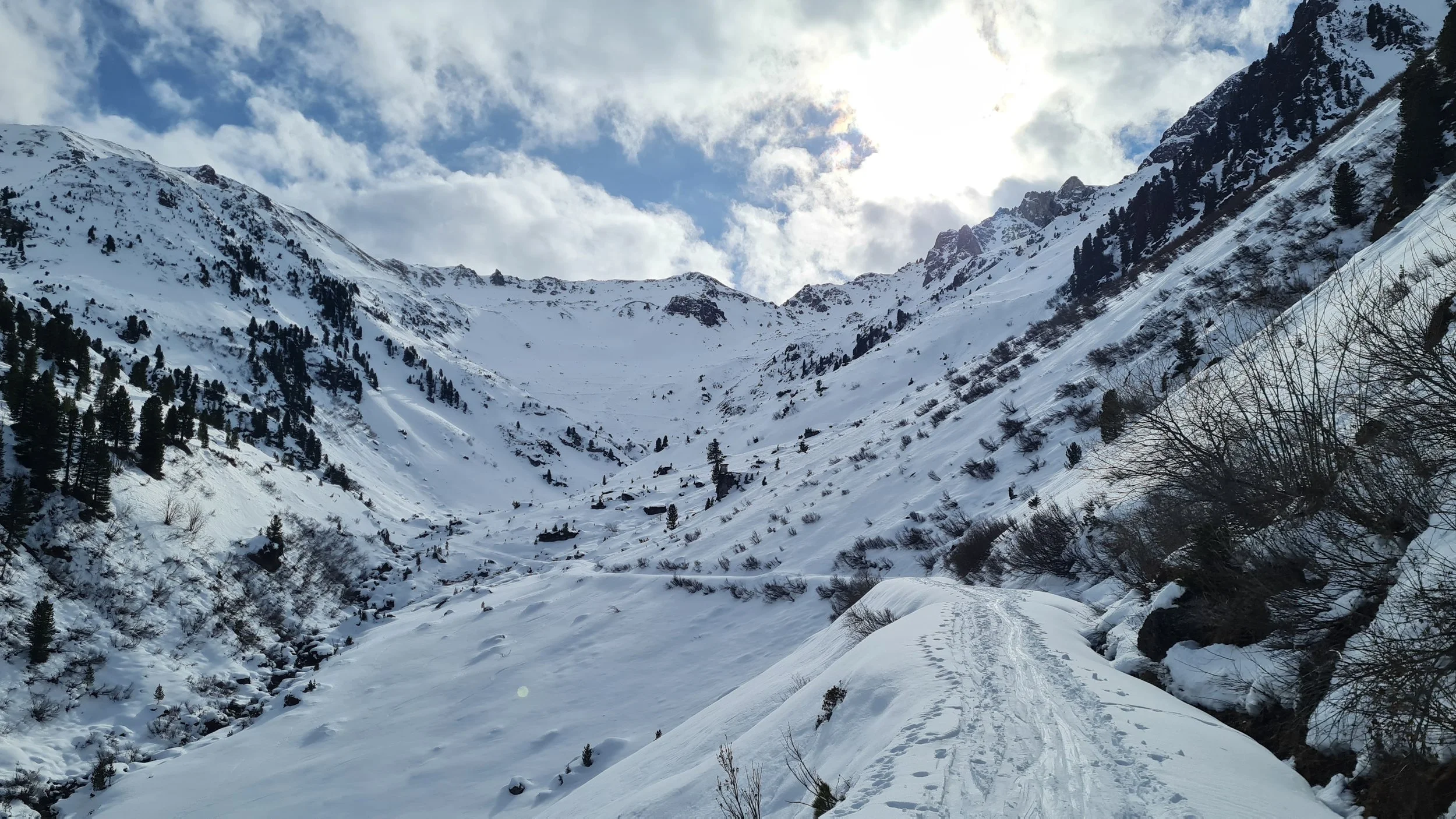
Ascent to Krovenzspitze (2619m)
The ascent begins around 1700 m. Passing the alpine huts, we initially follow the wide track toward the valley head. Where the forest road winds up the slope in many switchbacks, we shorten the route with our own kick turns, climbing through moderately steep ski terrain on the left side of a prominent gully.
Below the Waxenjoch (which offers a shortcut for the whole loop from the Torspitze side), the terrain turns westward and we ascend into the beautiful basin between the impressive Hippoldspitze and the Krovenzspitze.
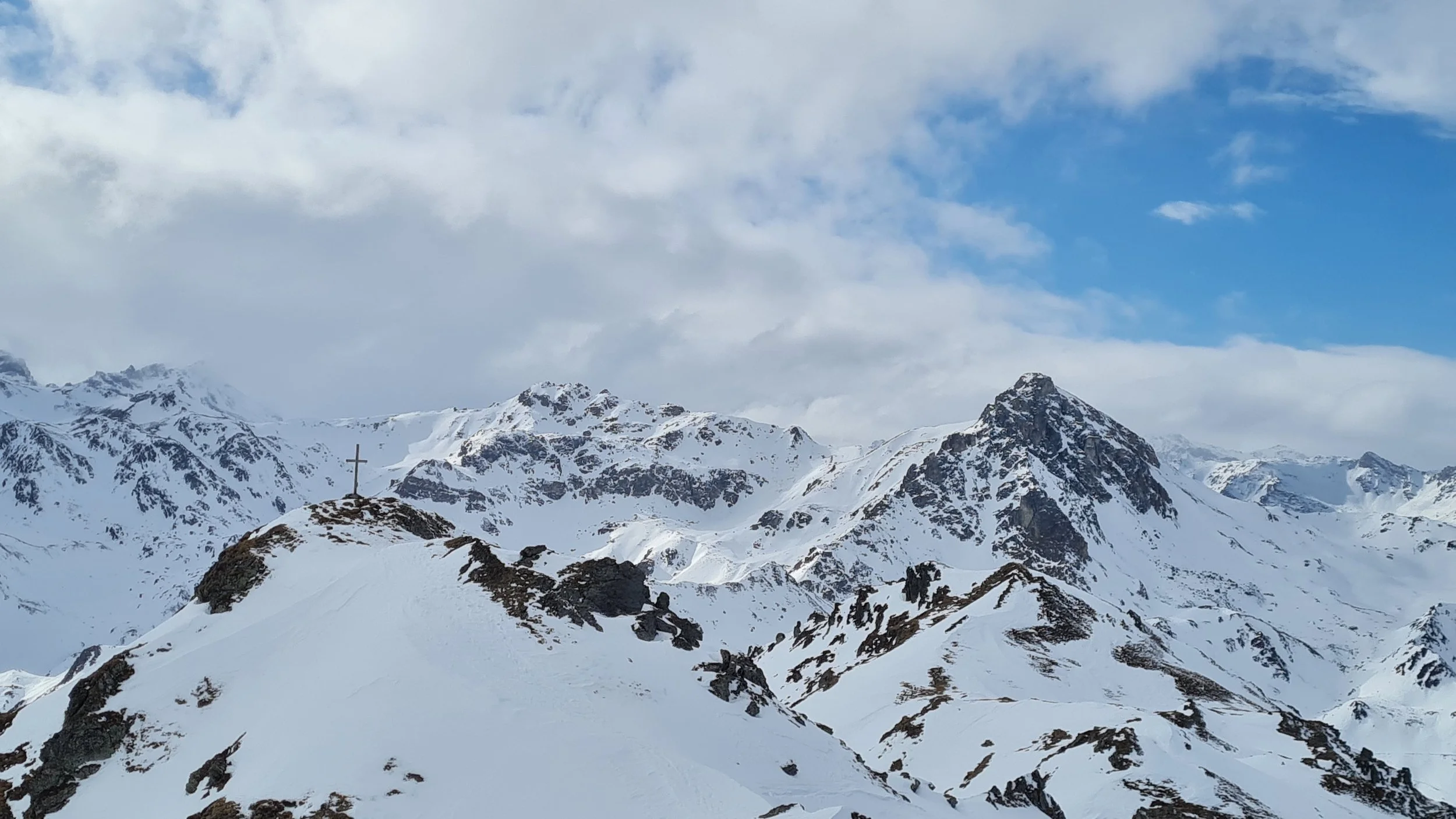
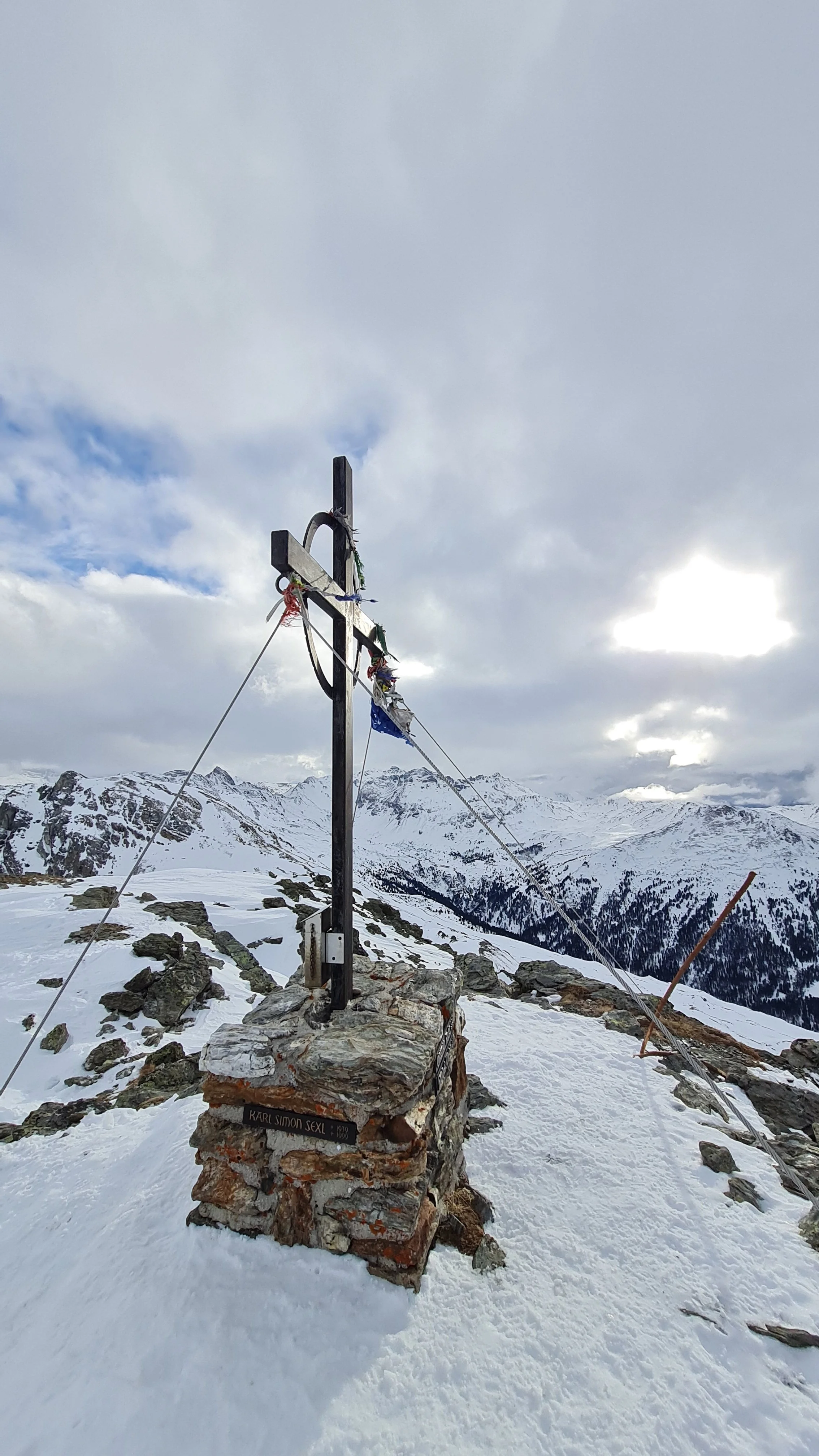
Instead of following the tracks straight toward Krovenzjoch, we climb directly up the pleasant south slope of the Krovenzspitze, gaining height with only a few kick turns. Near the summit we join the well-used normal route through a short steeper section before reaching the flatter basin below the summit ridge. At the summit cross of the Krovenzspitze we can overlook much of the route already completed – and the final part still ahead.
Descent from Krovenzspitze / Ascent to Lanner Kreuz (2412m)
For the descent toward Lanner Kreuz (often written Lahnerkreuz) we initially continue north on skins through blocky terrain toward a prominent rock tower marking the true summit of Krovenzspitze (2619 m).
Here we remove the skins and ski down a short but fairly steep slope. This slope faces west, making it ideal for firn (corn) conditions in the afternoon sun. The Lanner Kreuz cannot be reached directly during the descent. If you want to include it – and descend via the northern bowl below it – a short re-ascent with skins is required.
Descent from Lanner Kreuz
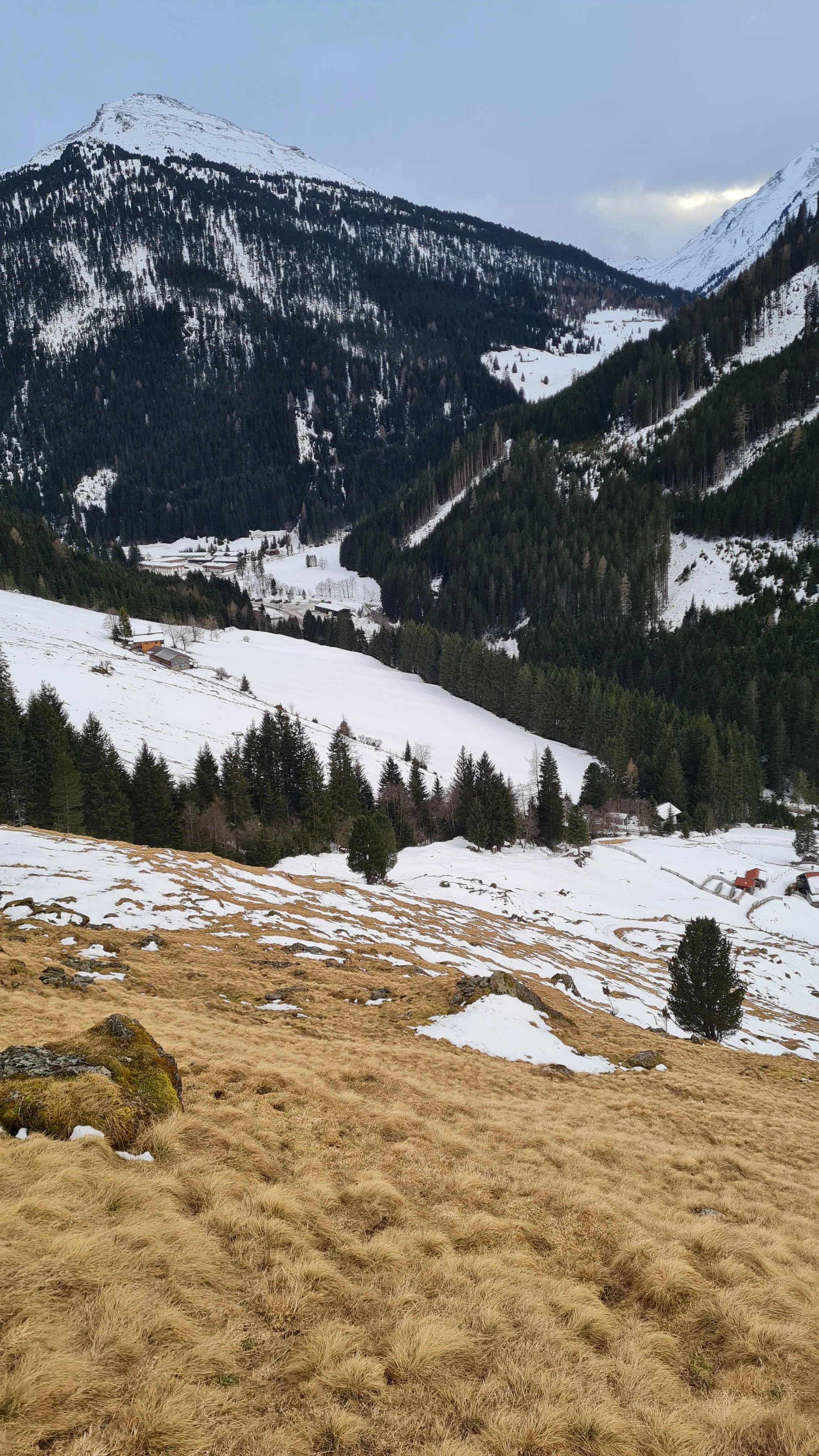
The final descent leads through relatively gentle but enjoyable ski terrain down to the tree line. At the end of a clearing, a stream crossing is required, often forcing a brief removal of skis.
The last open meadows above the Ochsenbrandalm hopefully still hold enough snow to reach the Wattental road. During the February 2025 descent, snow ended around 1500 m, requiring the final meters to be completed on foot.
From the Ochsenbrandalm, walk a few hundred meters up the valley back to the parking lot at Lager Walchen.
Pro Tip: Having a rough idea of the snow conditions and snow coverage in the area beforehand is recommended. Nevertheless, because the terrain faces many different directions, a good on-site instinct for changing snow conditions – and occasionally some willingness to suffer a little – is definitely required.
Track and Pictures from February 2025.
Photos by @bennibru