

Alpbach Ridge Round


Technical difficulty: 7/10
Fitness: 7/10
Objective danger: 7/10
Landscape: 6/10
Busy: 2/10 (7/10 on the first uphill)
Technical loop on rarely visited trails, well fitting for early season.
Starting point: Inneralpbach
Ending point: Inneralpbach
Length: 24km
Vertical: 2300m
Speed: runnable in the beginning and end. very slow and technical in the middle.
Route:
We start of heading back through the valley on the road for a few hundred meters before a steep trail turns off to the west and starts climbing steeply through the forests and alpine fields. There are many variations to take, steeper through the slopes directly or following the forest roads. In any case, we keep going for over 1000 vertical meters to eventually reach the Hornboden. There is a large playground, lot of restaurants and cable car access here, so expect lot of people.
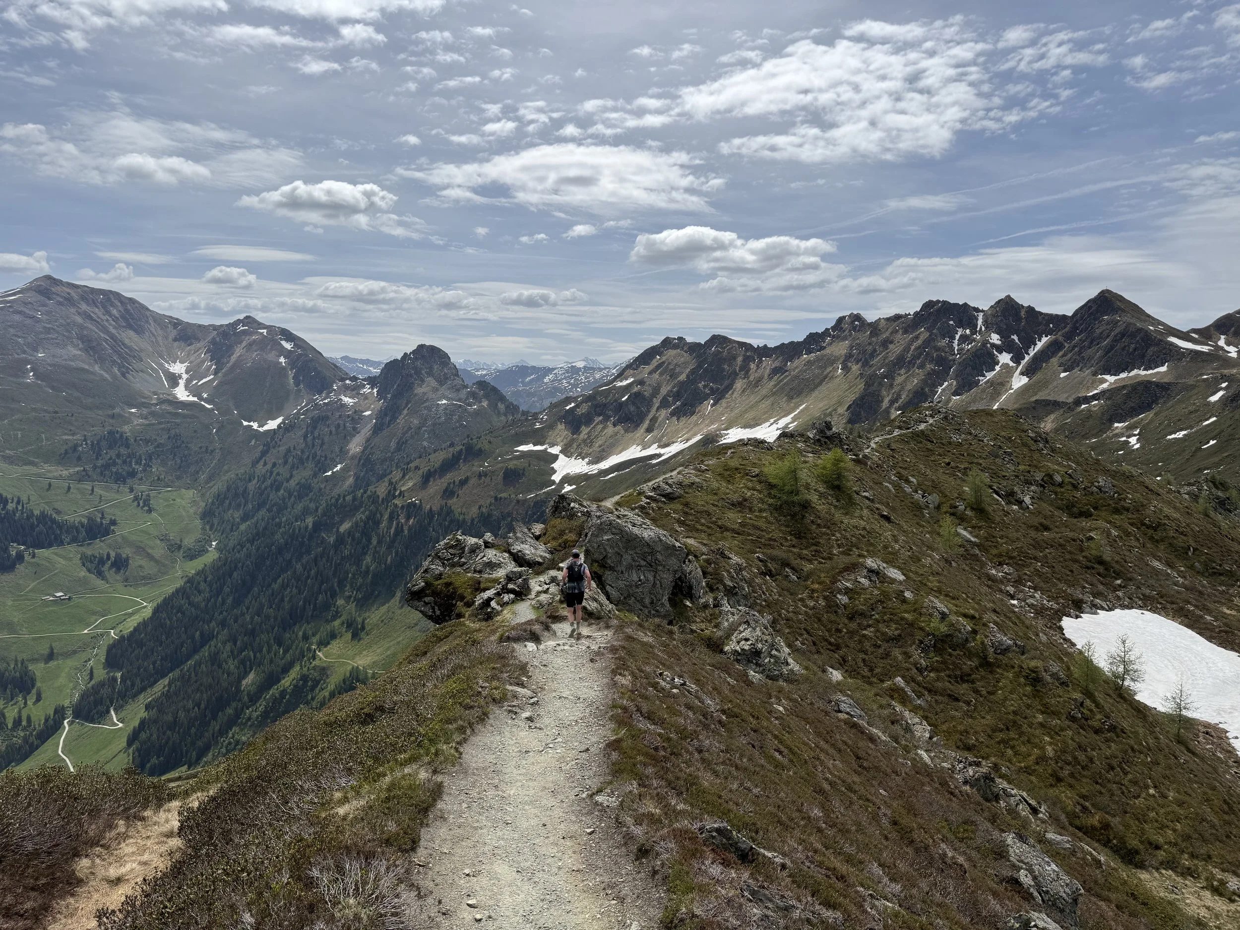
We turn south and start out on the epic ridge that’s visible in front of us. At this moment, we have a view over our entire route for the day. First we pass a few other cable cars along the ridge. The trail starts getting more technical and leads us to the Wiedersberger Horn (2127m), the first small summit along the way, with passing the hut of Hornalm just after.
After another last cable car, we finally leave the people behind. The trails get more technical and we finally leave the civilization behind. The ridge here is quite runnable and follows the ridge southwards in a direct line, passing the summit of Hochstand (2058m) and eventually reaching the summit of Standkopf (2241m).
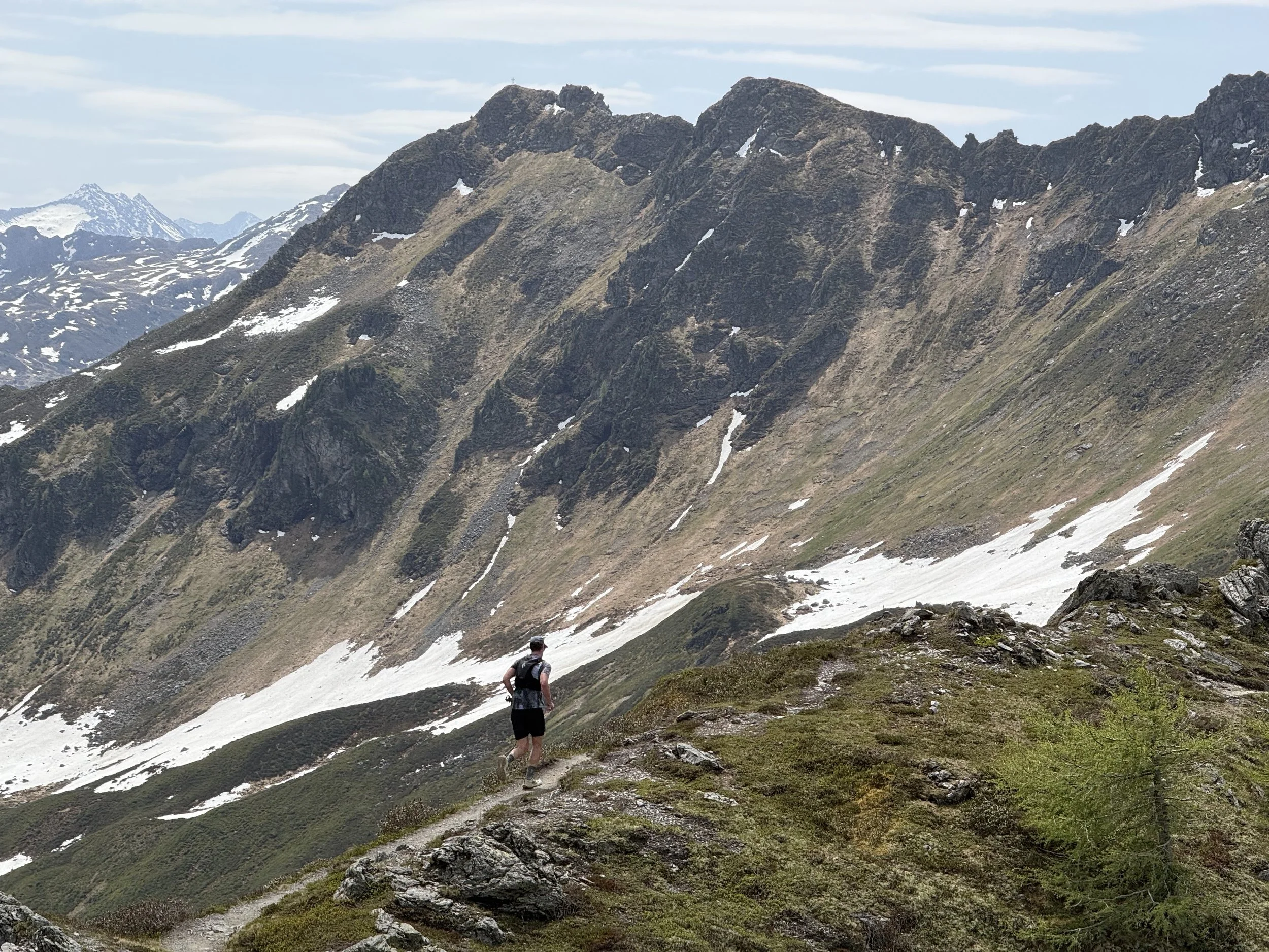
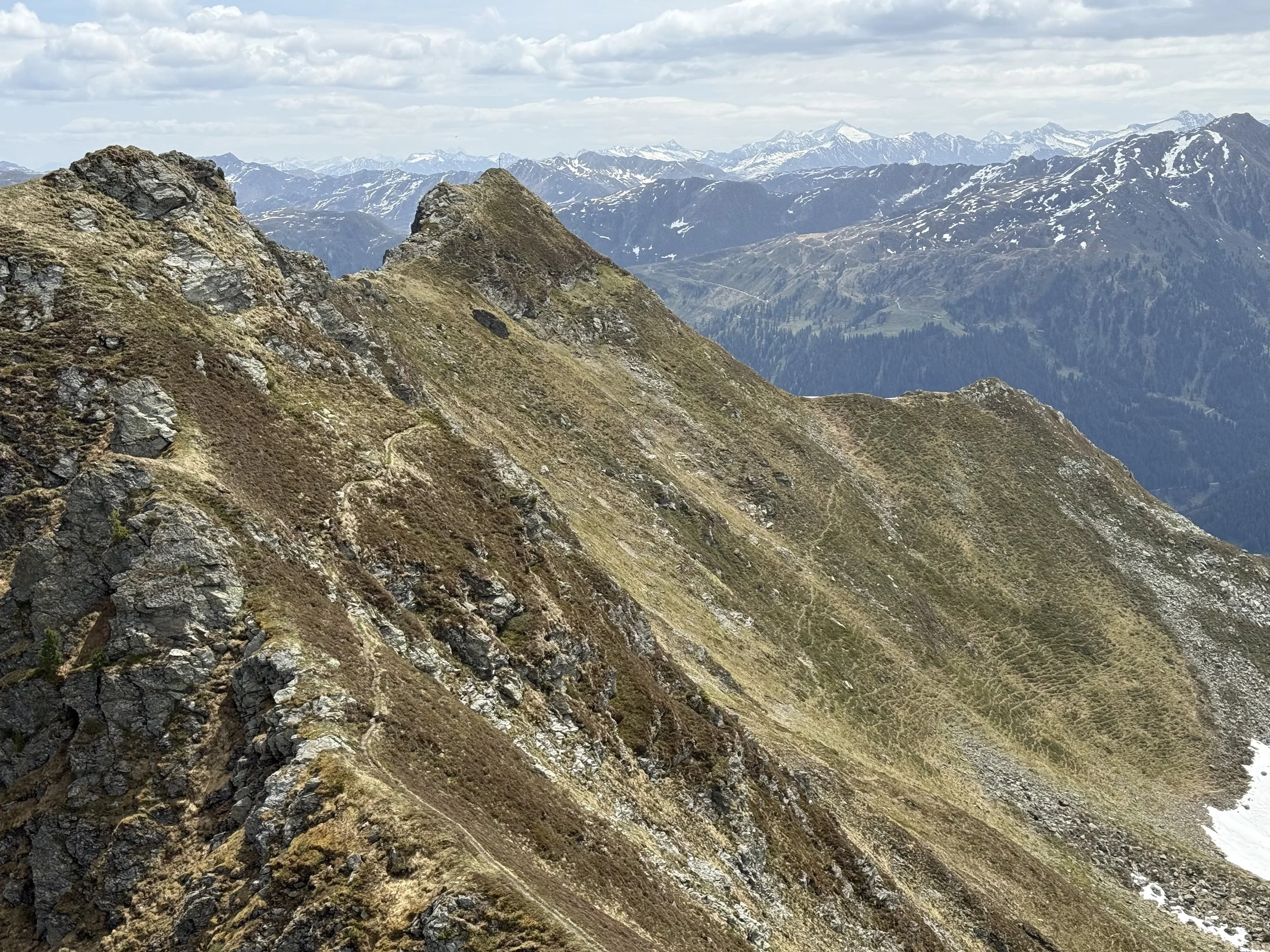
From here, the interesting parts of the route start out. The ridge turns eastwards for the next few kilometers First we follow a narrow ridge with some fixed ropes and airy drop offs, leading us to the summit of Gamskopf (2205m). From here, we follow a narrow but less technical trail to a small saddle. There is a possible bail out trail to the north here, but we continue along the ridge.
The next summit is not that tall but definitely the hardest of the route. The trail is faint and partially marked by cairns. It crosses through some very exposed slopes and the right way is sometimes hard to find. There are some sections with fixed ropes as well and a lot of lose rock along the way. Eventually, we top out at a small ridge and the summit cross of Dristenkopf (2198m).
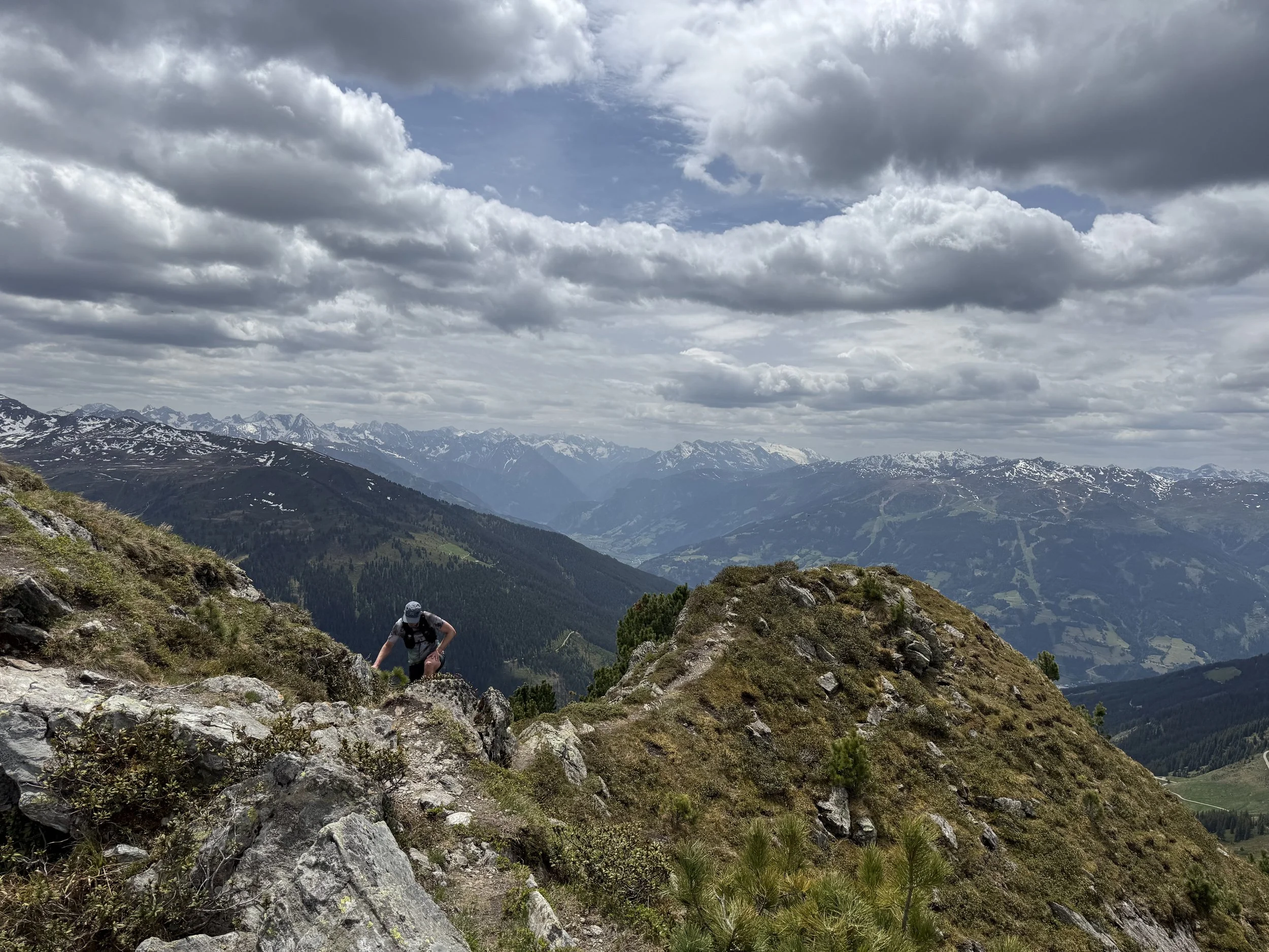
The way down is not any easier. Very steep trail, requires sure footing and some scrambling. Eventually it flattens out and reaches another saddle, with another bail out trail heading to the north. From here, the ridge is far less technical and pleasant to move across. We cover the last few hundred uphill meters, crossing the summit of Kleiner Gattenberg (2318m) and finally reaching the last summit of Grosser Galtenberg (2420m).
From here we start the long descent north along the ridge back to the village. The trail sticks to the ridge line for the longest time, descending across alpine meadows and later through the forest with views to the both sides. Eventually it starts getting more runnable until we reach a forest road just a few turns above the river at the bottom of the valley.
Once at the river, we only have a couple of kilometers of road running slightly downhill back to the parking lot.
Pro tip: no water on the ridge. bring plenty!
Photos by @the.running.nomad and @bennibru