

Längentaler Weißer Kogel (3217 m) from Lüsens

Technical difficulty: 5/10
Fitness: 6/10
Objective danger: 4/10
Landscape: 8/10
Busy: 5/10
Ski tour from Lüsens through the Längental to the Längentaler Weißer Kogel.
Starting point: Parking at Gasthof Lüsens
Ending point: Parking at Gasthof Lüsens
Ascend: 1500vm / 5h
Exposition: North/ North-East
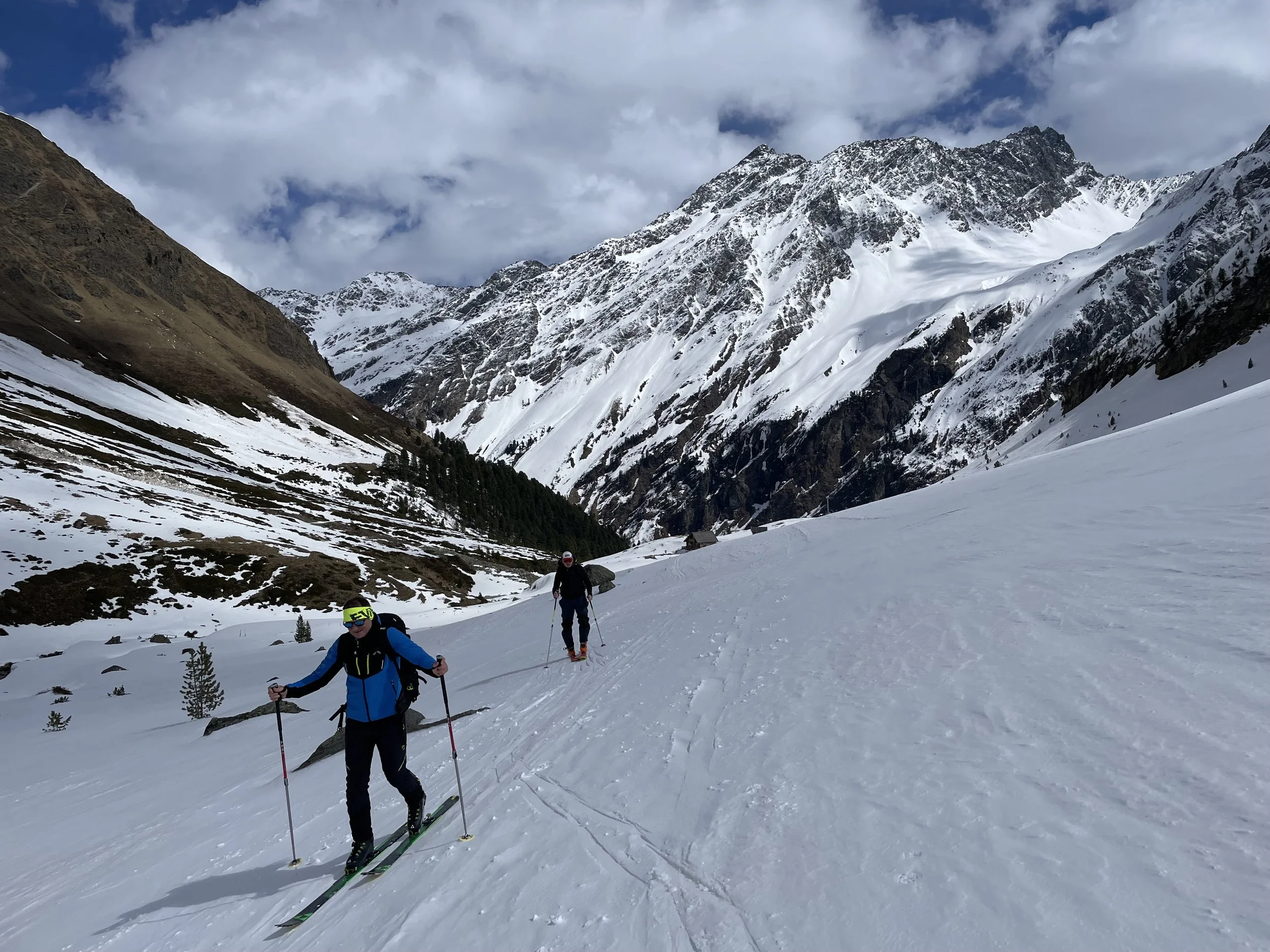
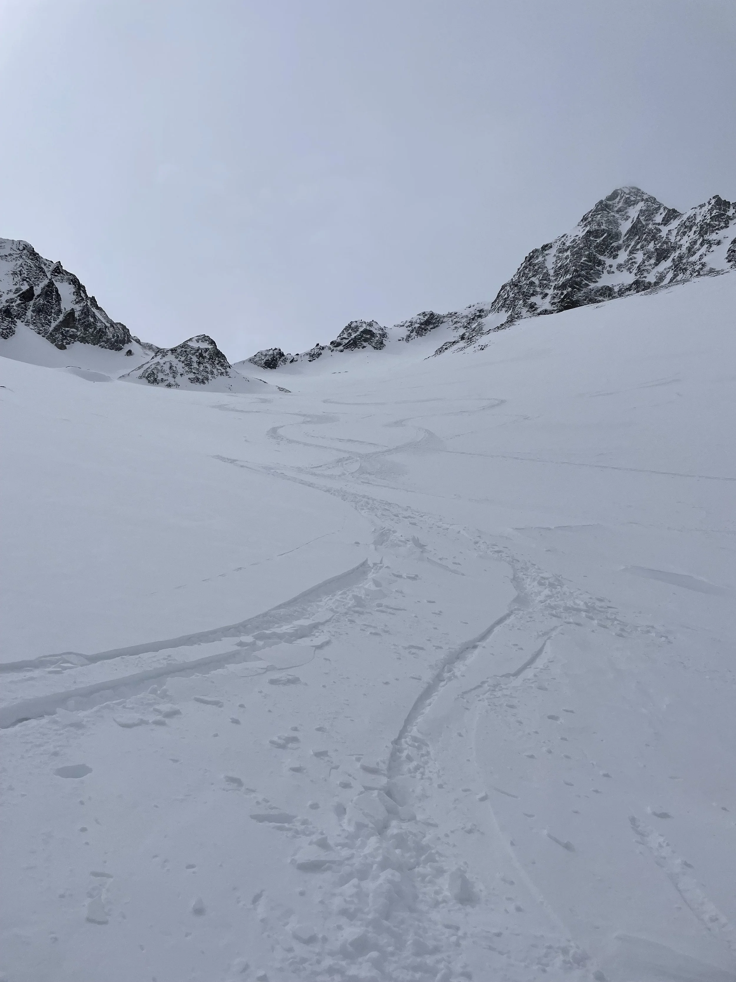
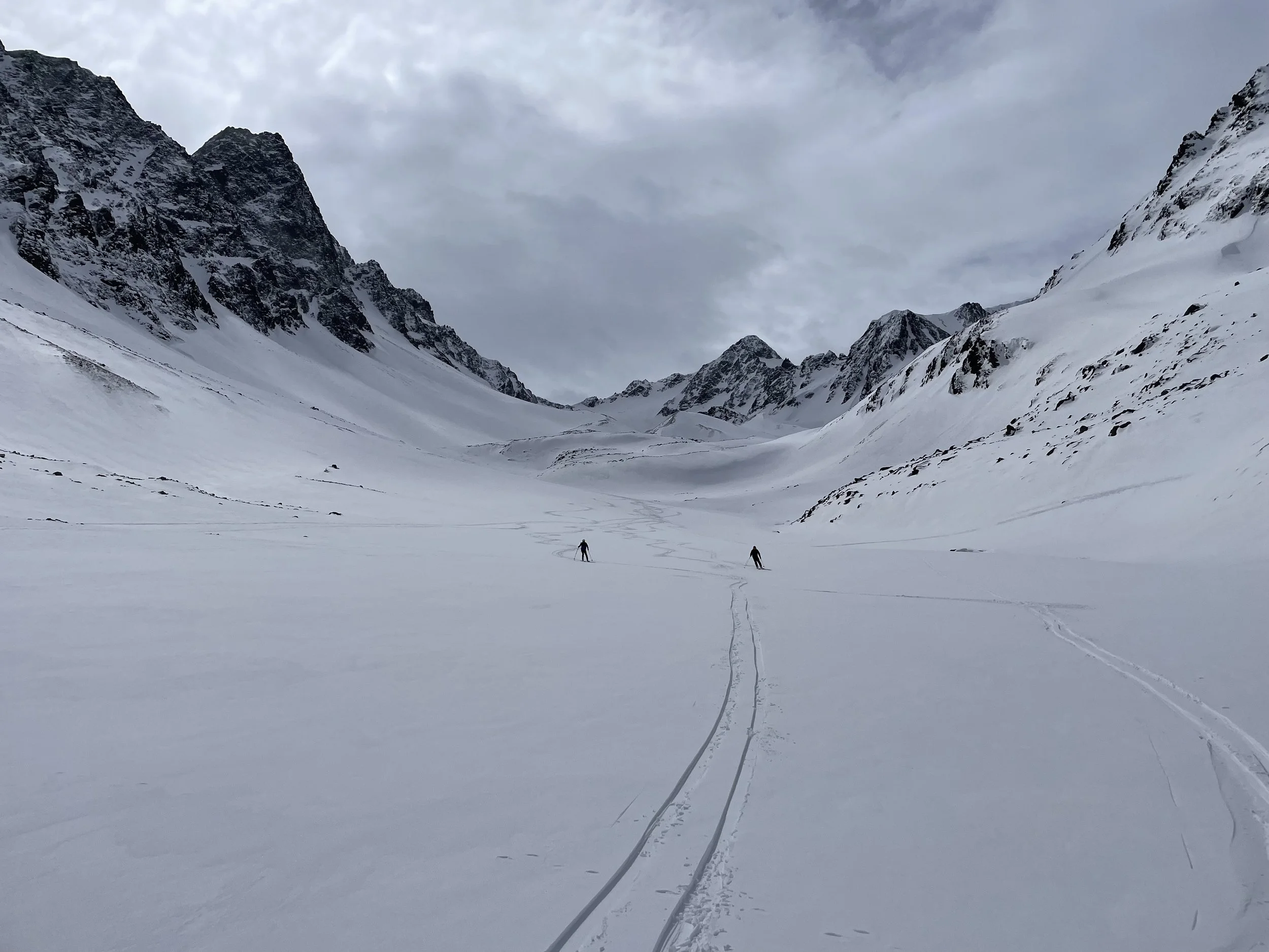
The Längentaler Weißer Kogel is located in the Stubai Alps within the touring area around the Westfalenhaus, and is also frequently climbed directly from the valley at Lüsens — where the Längental (the “long valley”) truly lives up to its name! This summit is very popular and accordingly well-visited. Magnificent ski slopes from the turn-off toward the Hoher Seeblaskogel onward make this tour a pure skiing delight. The lower section through the Längental features longer flat stretches.
Route:
From Lüsens, head south with the Lüsenser Fernerkogel always in view, until just before the end of the valley where you’ll reach the supply cable car. Here, turn right and climb steeply through a forest section to the Längentaleralm (1,988 m), staying to the left of the gorge carved out by the Fernaubach.
Follow the valley floor westward with little elevation gain until the valley curves south just below the Westfalenhaus hut.
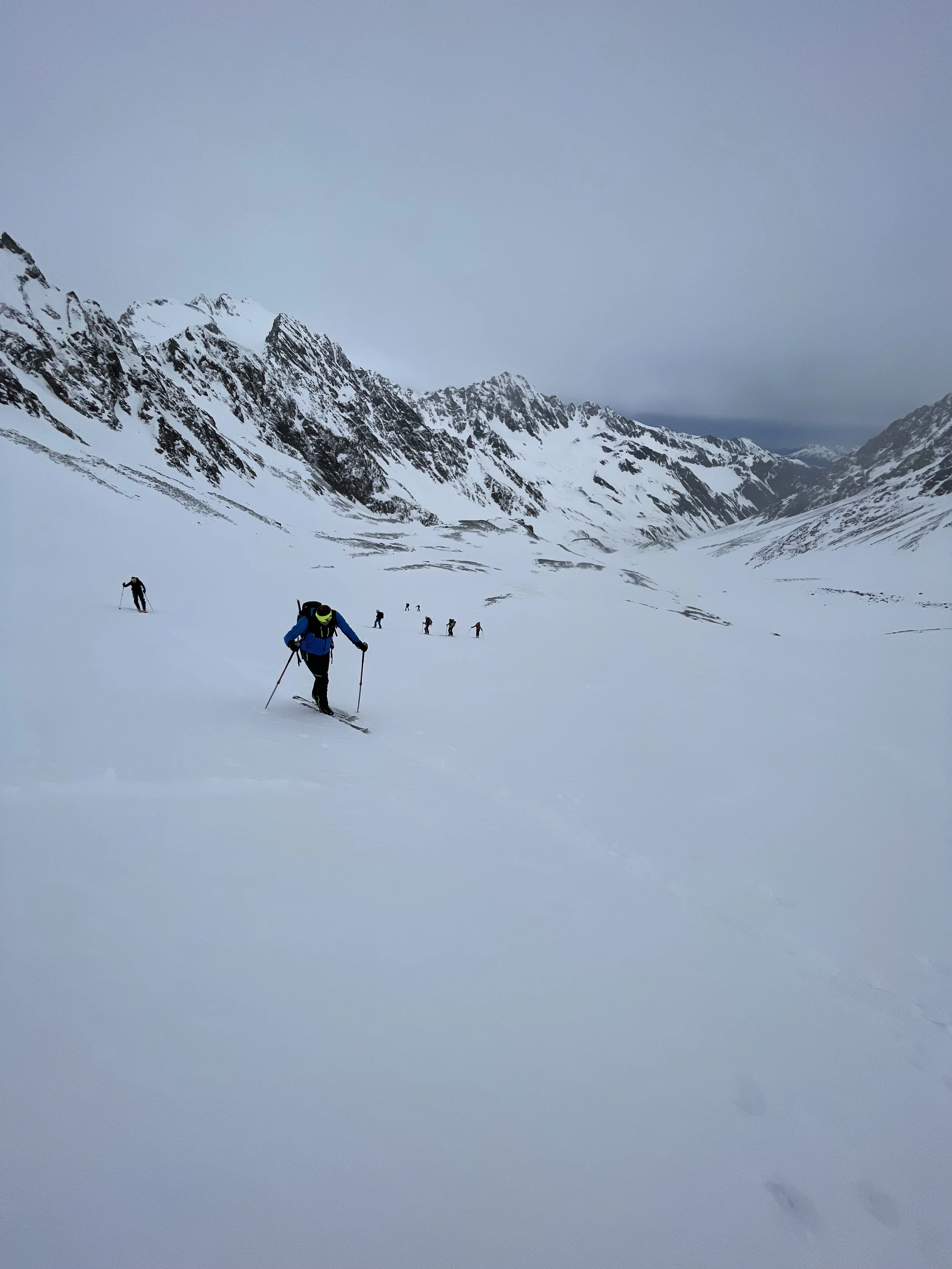
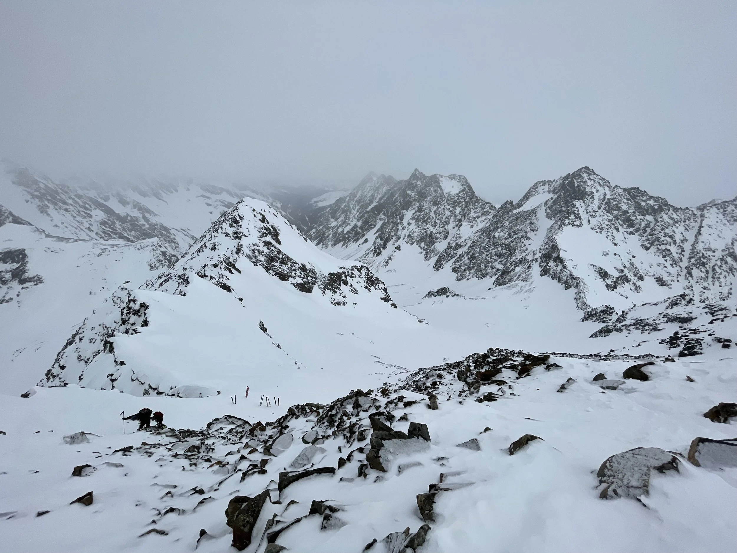
Roughly halfway up the valley, continue southward, ascending a short steep section to the junction with the route to the Hoher Seeblaskogel, which you leave to your right. Continue alternately over glacial moraines and through shallow basins — depending on avalanche conditions, usually staying protected along the central moraine ridge — to the next steep section.
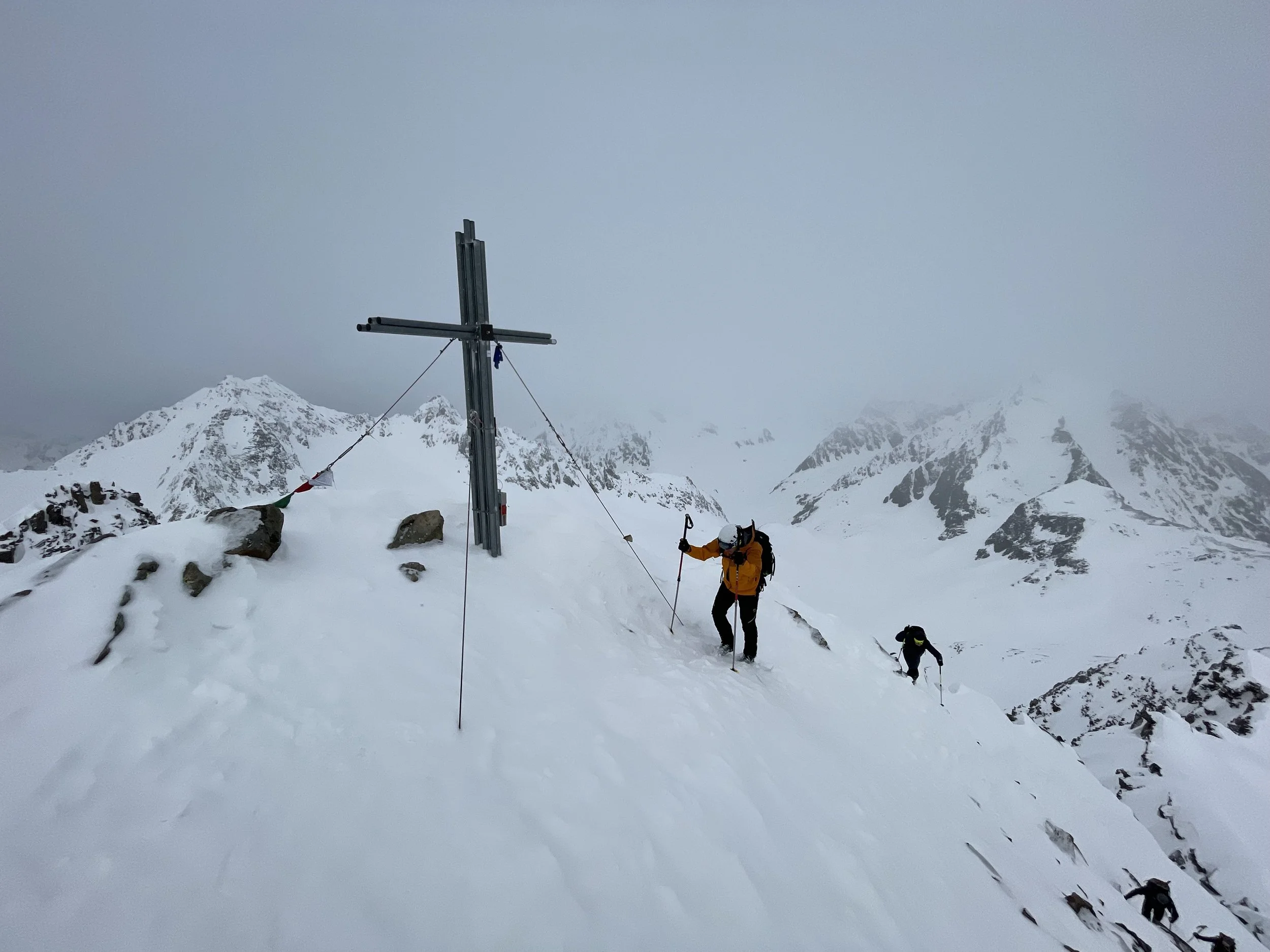
Climb in several switchbacks into the wide basin between Bachfallenkopf and Hinterer Brunnenkogel. Briefly approach the Längentaljoch, and at around 2,900 m, traverse westward in a broad right-hand arc, roughly staying in the middle of the slope. Finish with a series of steep switchbacks approaching the left side of the summit block. This is usually where the skis are left; the final meters to the summit are done on foot.
Descent:
Same as ascent.
Photos by @the.running.nomad, @toma.roman.sk and @naturka48