Technical difficulty: 7/10
Fitness: 5/10
Objective danger: 9/10 (7/10 if you skip the first summit)
Landscape: 8/10
Busy: 7/10
An amazing technical loop at lower altitude good for late season.
Starting point: Aschinger Alm
Ending point: Aschinger Alm
Length: 17.5km
Vertical: 1800m
Speed: Rooty but runnable trails for the most part. The main ascent is technical.
Route:
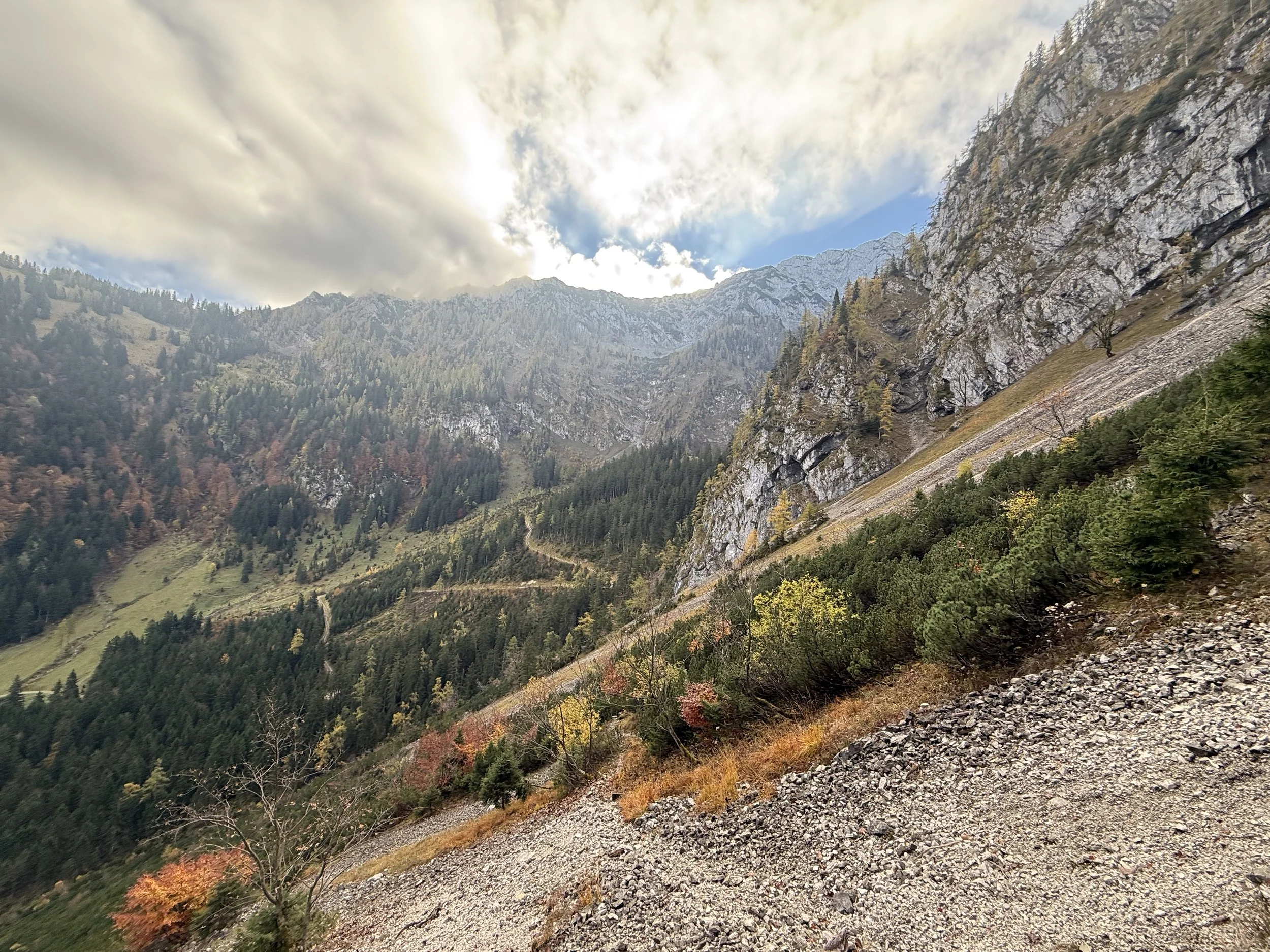
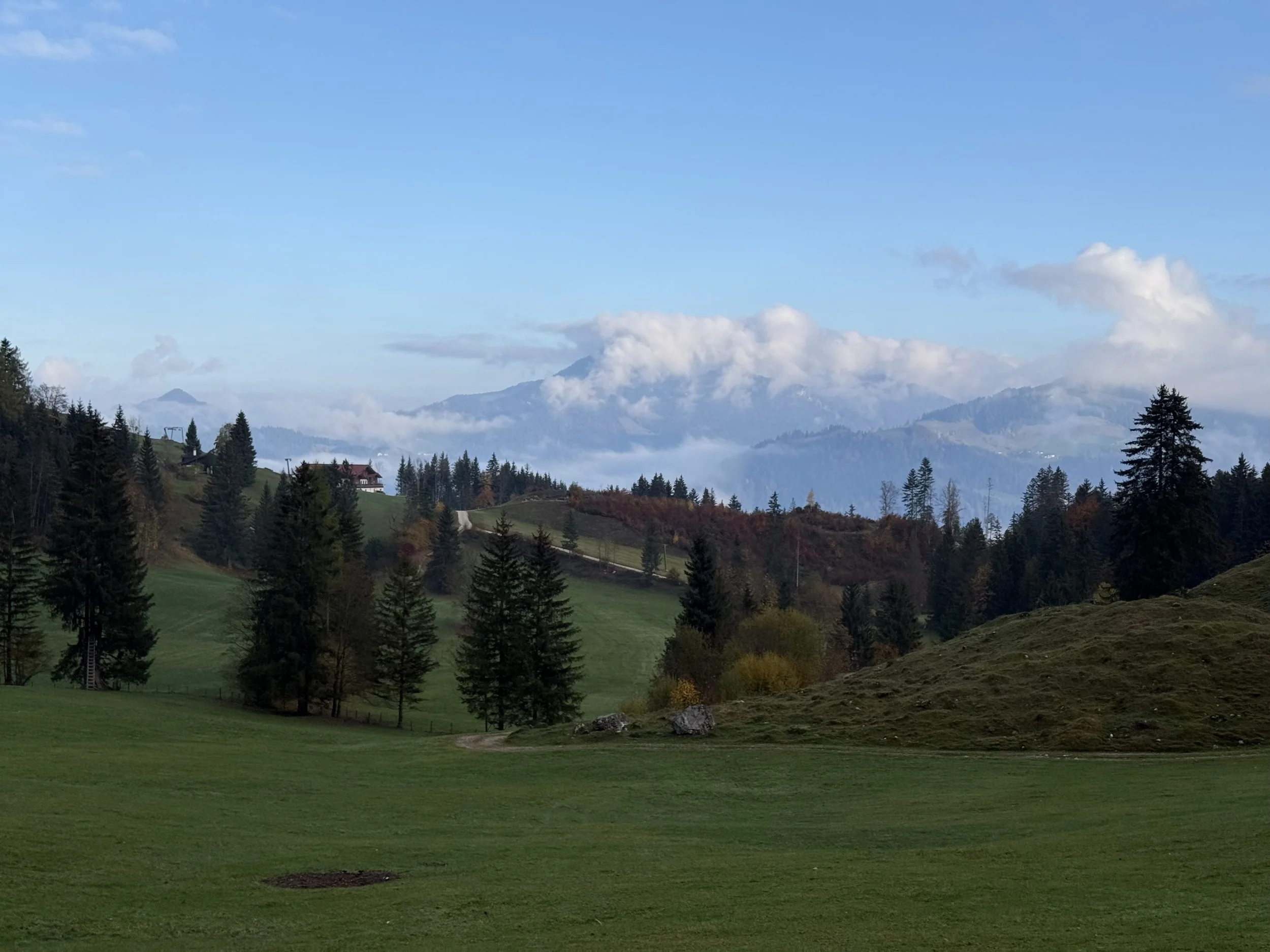
We park at the Aschinger Alm at the end of a long road that seemingly leads to nowhere. Our run starts following the forest road at the top of the ski lift and following the signs towards Winkelalm. The road turns into a nice trail soon and starts ascending through the forest and mountain meadows towards the big rock walls in the south. We top off at a small hill and take a short downhill through a dense forest before crossing a scree field. After another short uphill the terrain open up at a small private hut - Winkel Alm.
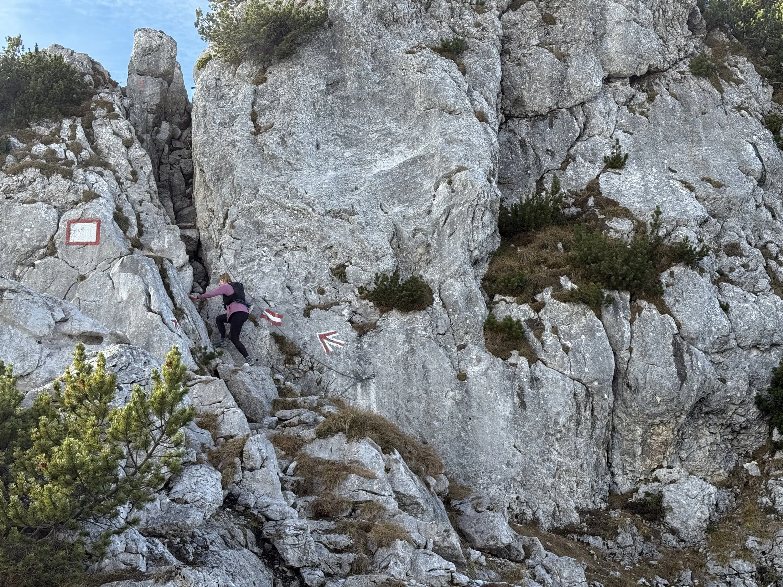
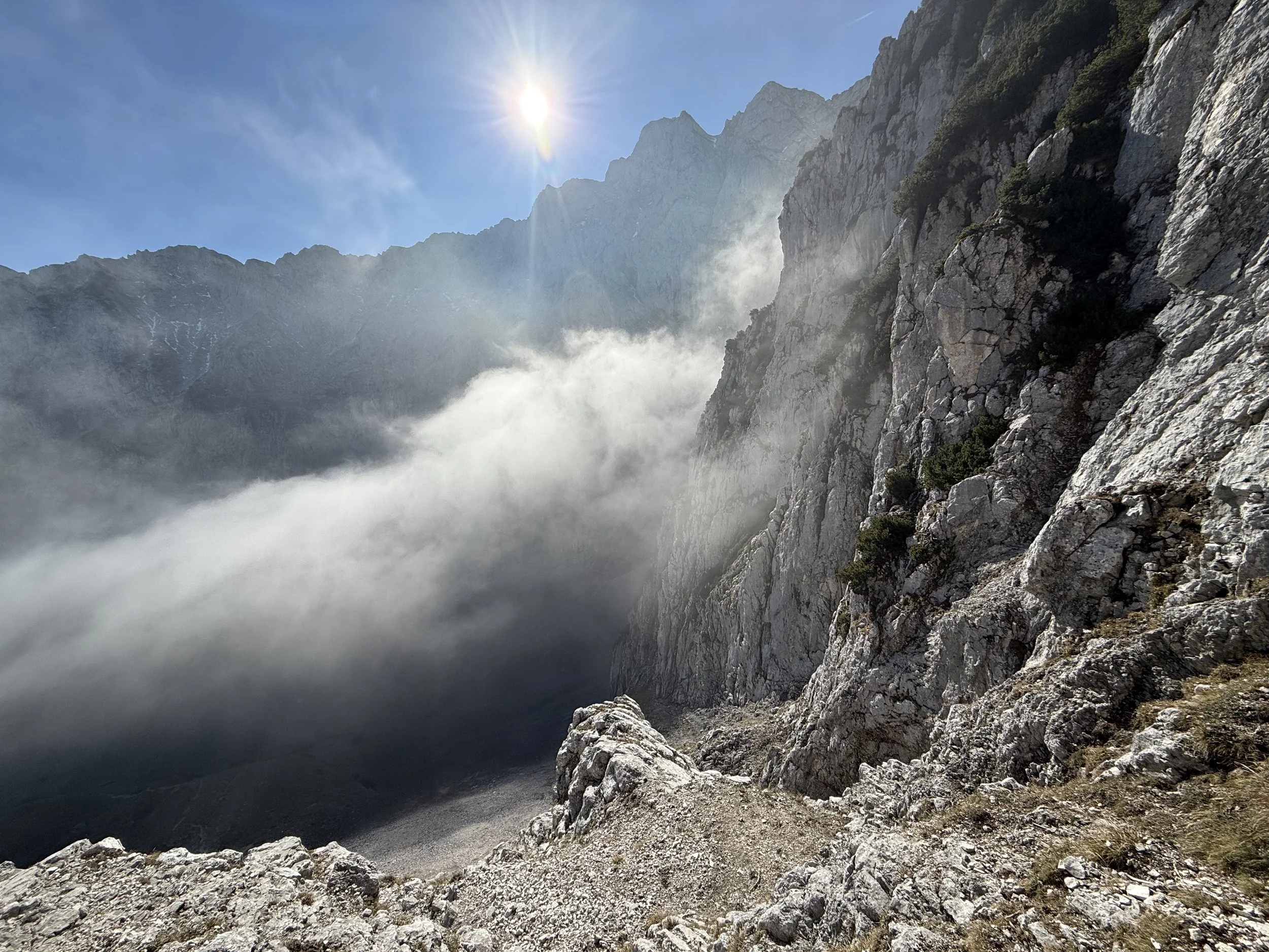
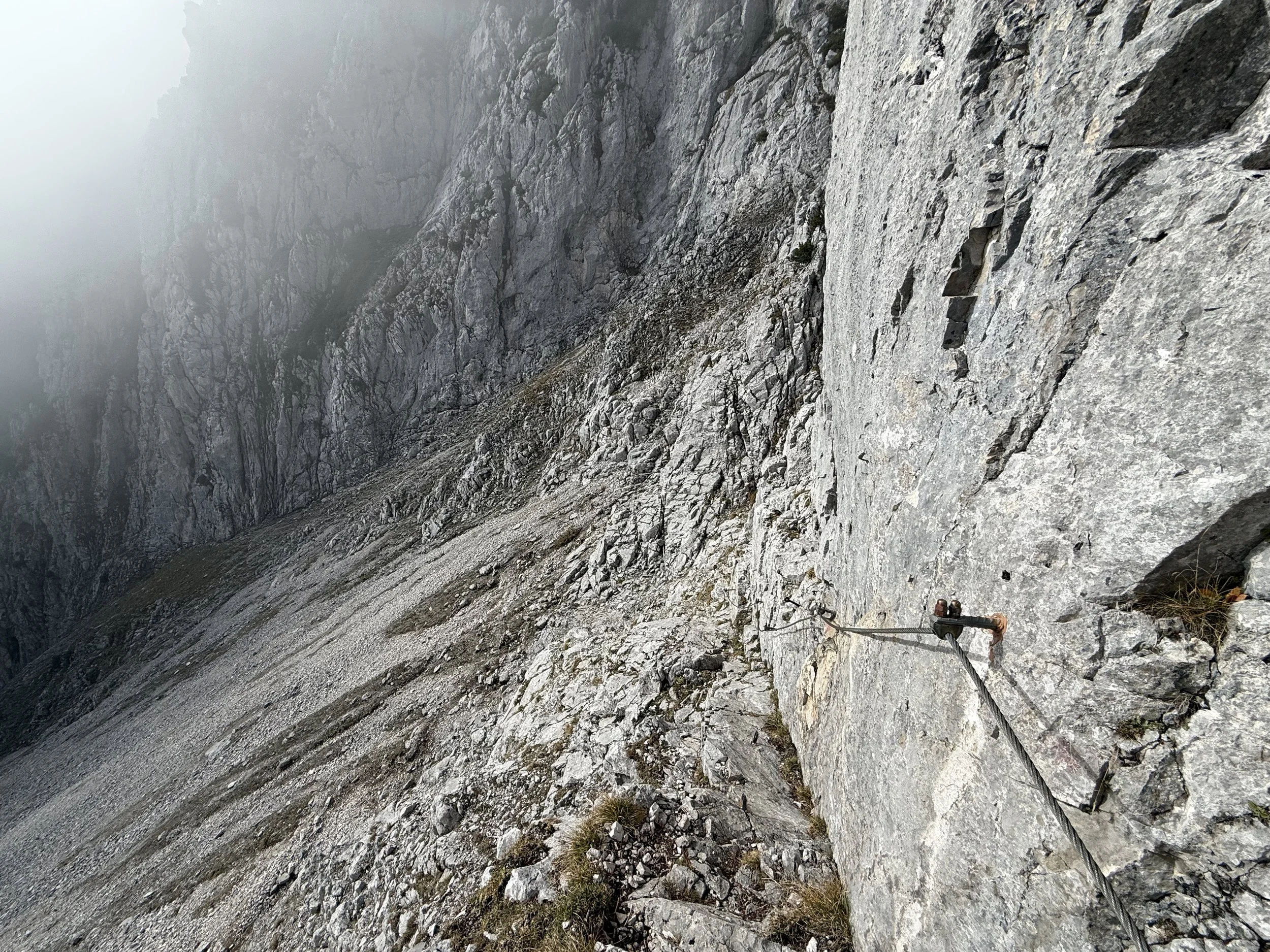
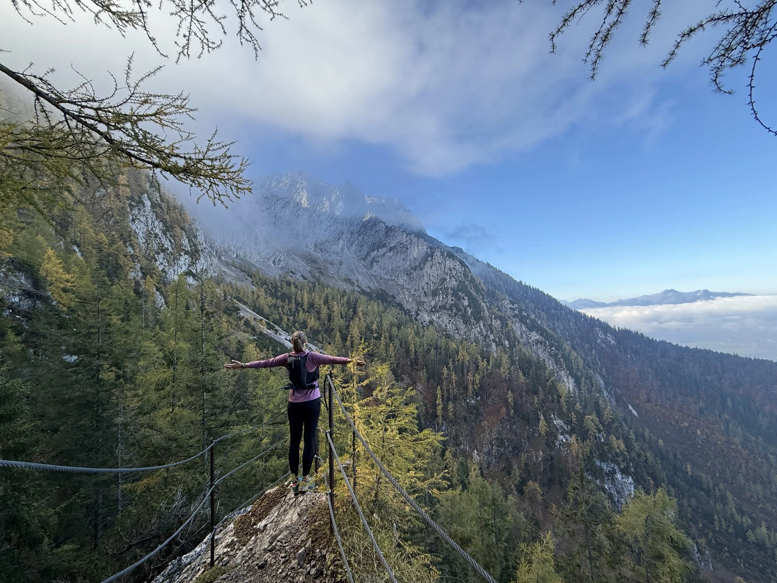
We continue climbing into the valley south and west through the bowl of Winkelkar. The trail gets progressively steeper until it becomes obviously more technical. From here, there are many exposed sections with fixed ropes, climbing to the top of the summits. Shortly before reaching the ridge, there is a chance to make a side trip to Jovenspitze (1892m). This is optional as described below. If you don’t want to do it, stick to the marked trail.
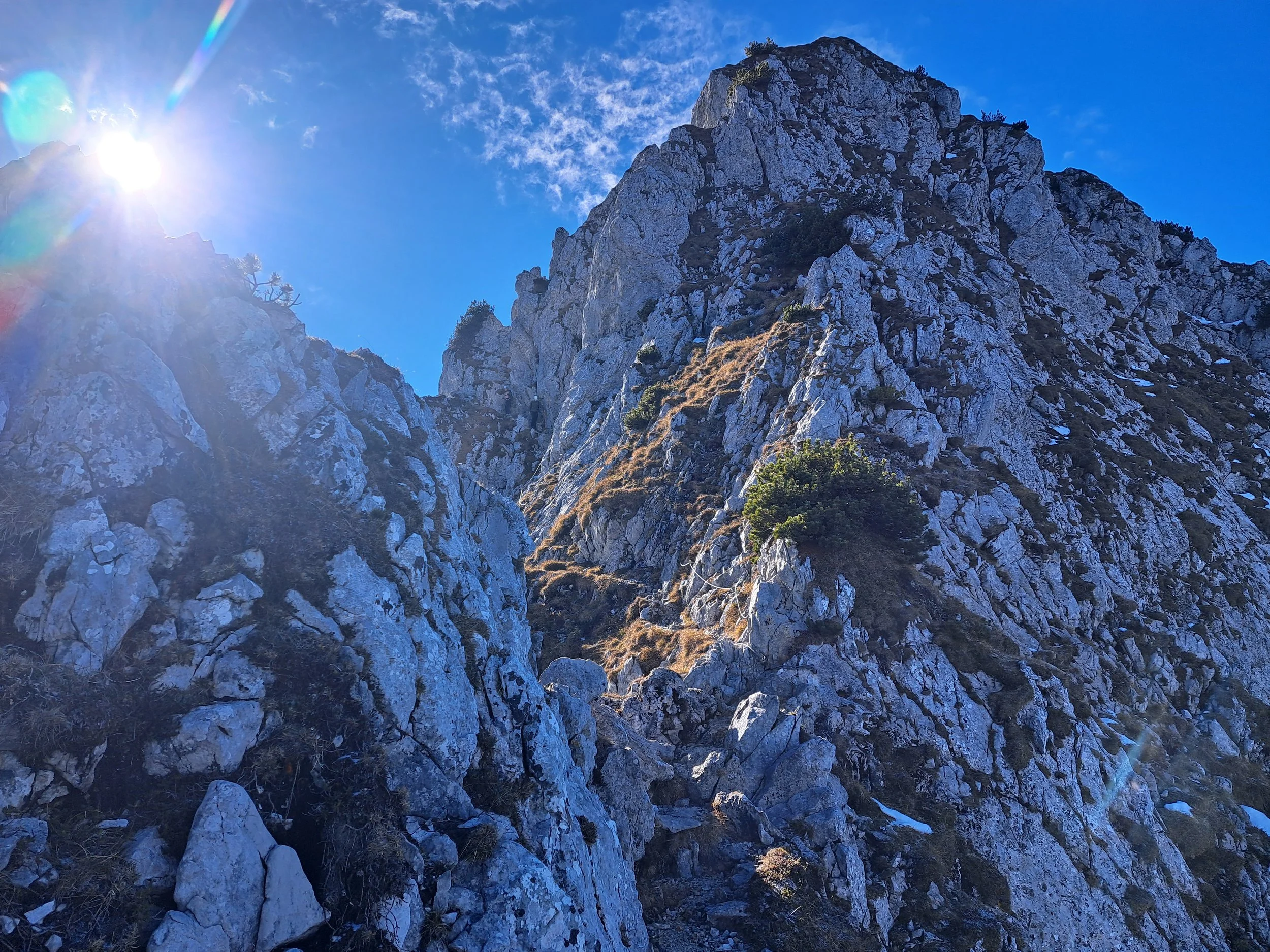
The side trip follows a faint trail first traversing the hill side north and then through a steep grassy couloir to the summit of Jovenspitze. The summit cross is clearly visible the whole time so it is hard to get lost but the route finding is tricky and the route exposed and not often travelled. After reaching the summit, the way back to the marked trail is even harder to find. Recommend following the GPS track here. Mind your footing. After a few steep grassy and rocky section, we connect back to the marked trail we left earlier.
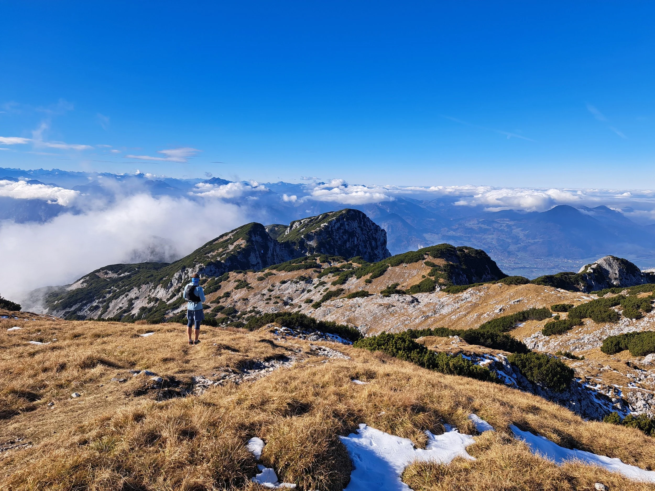
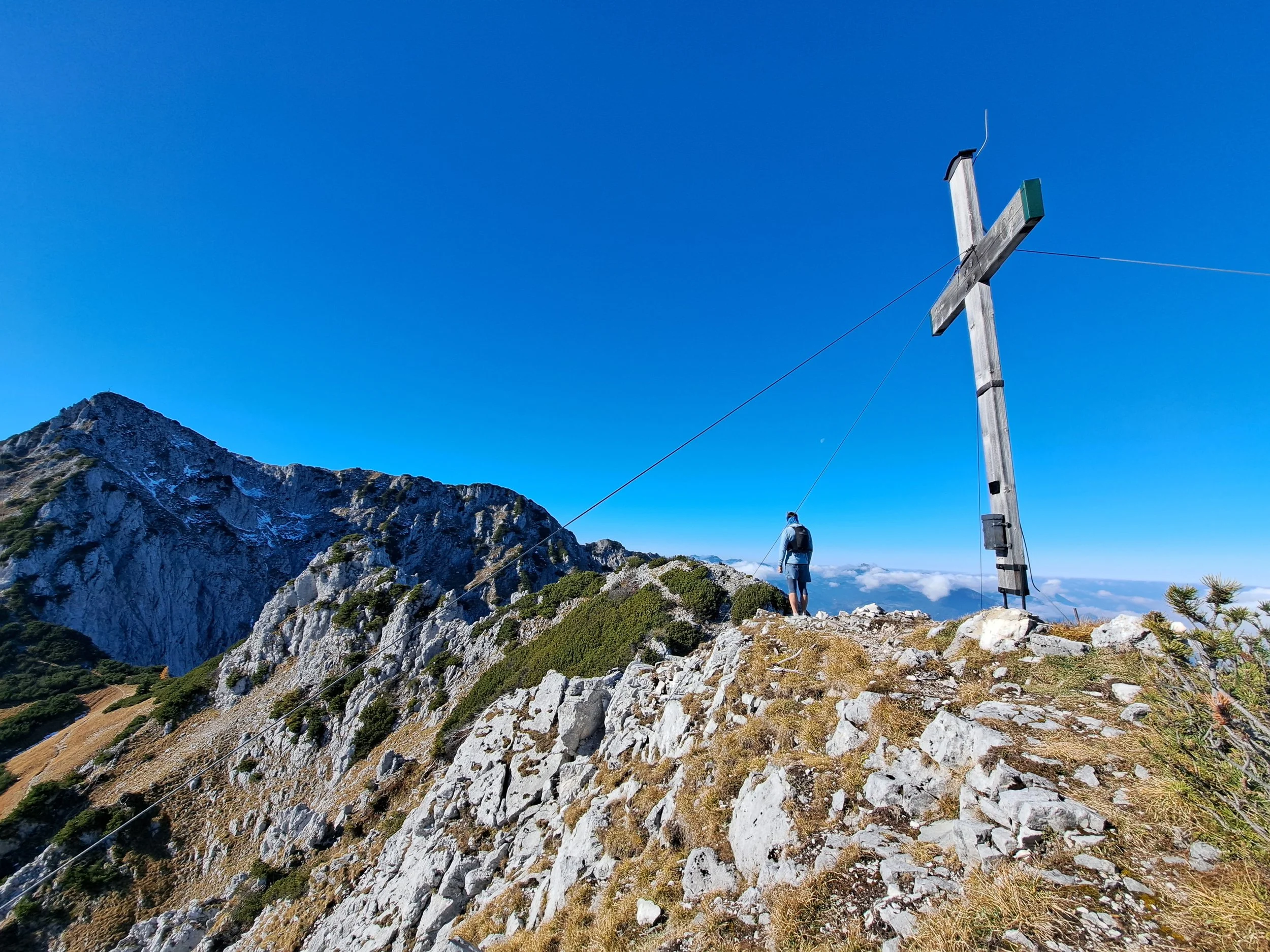
The trail climbs to the ridge and continues along technical and well-secured sections to the next summit of Pyramidenspitze (1997m). From here we follow the ridge along the mountain tops westwards. The trail is technical but no longer exposed and winds through the alpine growth with short uphills and downhills. There are a few small technical sections but they are few and far in between.
We pass the summits of Zwölferkogel (1912m) and Einserkogel (1924m) and continue in the same labyrinth of low trees until the turn off to the summit of Peresköpfl. From here we follow a short muddy downhill before the short uphill and scramble towards the summit of Naunspitze (1590m). This is the last summit along our way.
We start a steep downhill on our way down. We reach a beautiful new hut at Vorderkaiserfeldenhütte, a great place to stop for drink or food. We continue a little more on the steep downhill before taking a trail turning north called “Musikantensteig” - the musicians’ way. This trail leads us further downhill through a dense forest for what seems like an eternity. We eventually cross a forest road and turn right.
The forest road leads us uphill and is well marked to lead us back to Aschinger Alm. It turns into a trail again until it gently tops out and eventually turns into a forest road again. We descent through cow paddocks all the way back to the road we drove on in the morning and join it at a small settlement of Kölnberg. From here it is only a little more than 1km back to the start.
Photos by @the.running.nomad and @annikasuess