
Technical difficulty: 3/10
Fitness: 7/10
Objective danger: 4/10
Landscape: 6/10
Busy: 3/10 (probably way busier in summer)
A highly runnable loop featuring a challenging uphill, a long and varied downhill, and beautiful trails along the Brandenberger Ache.
guest post by @bennibru
Starting point: Parkplatz Wittberg, Kramsach
Ending point: Parkplatz Wittberg, Kramsach
Length: 34km
Vertical: 1850m
Speed: long, steep uphill right from the start, runnable trails and forest roads afterwards
Route:
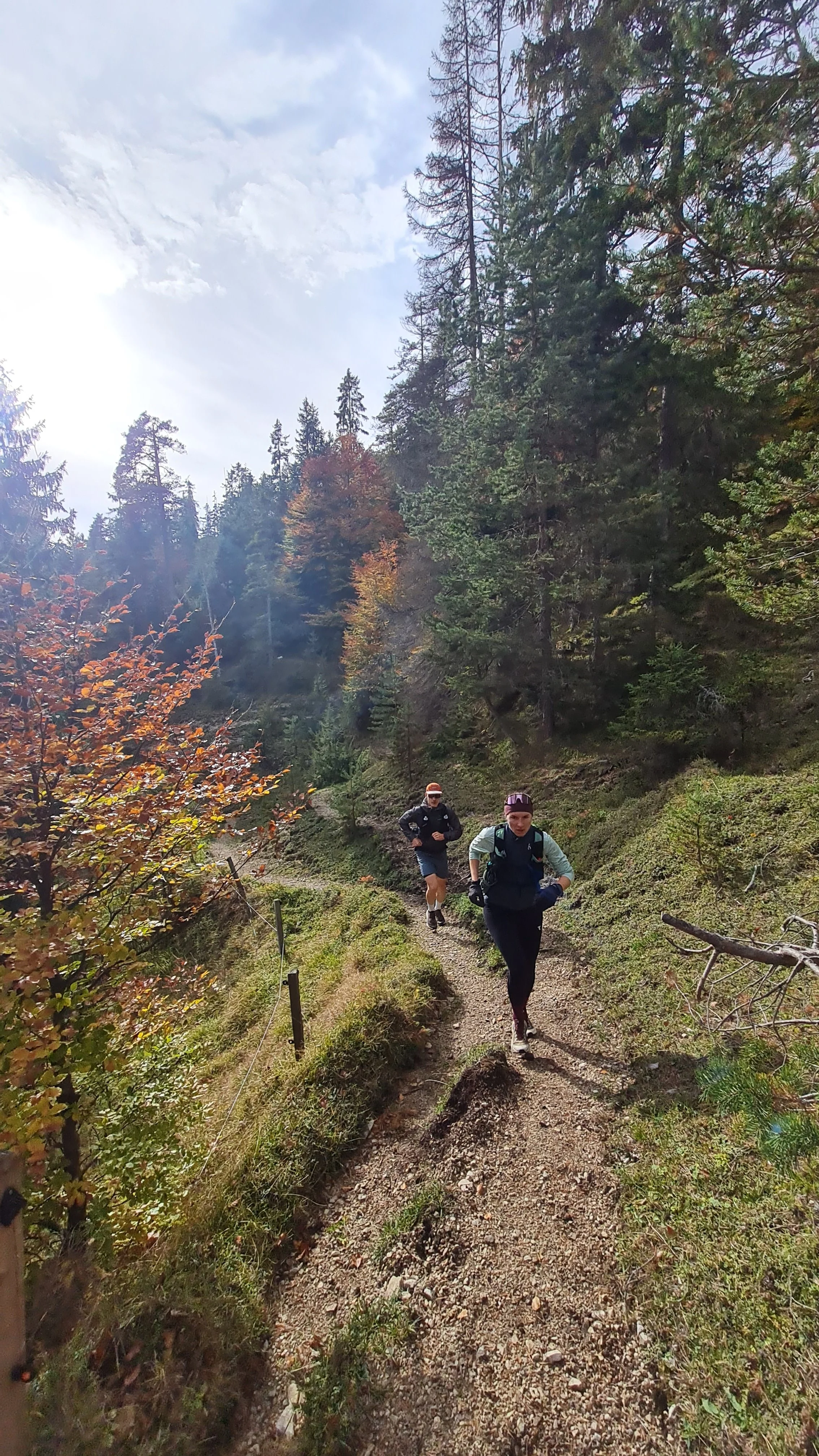
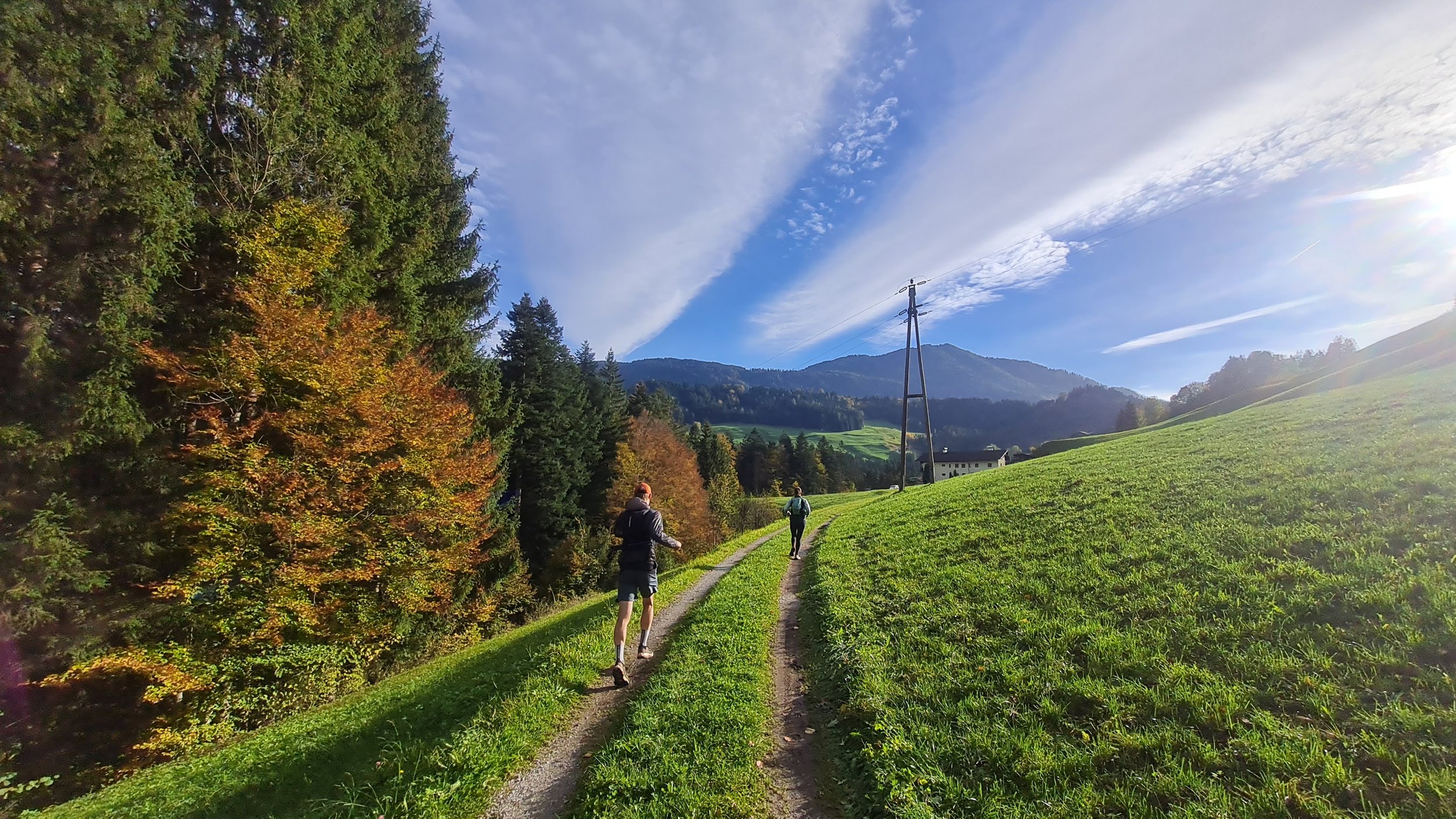
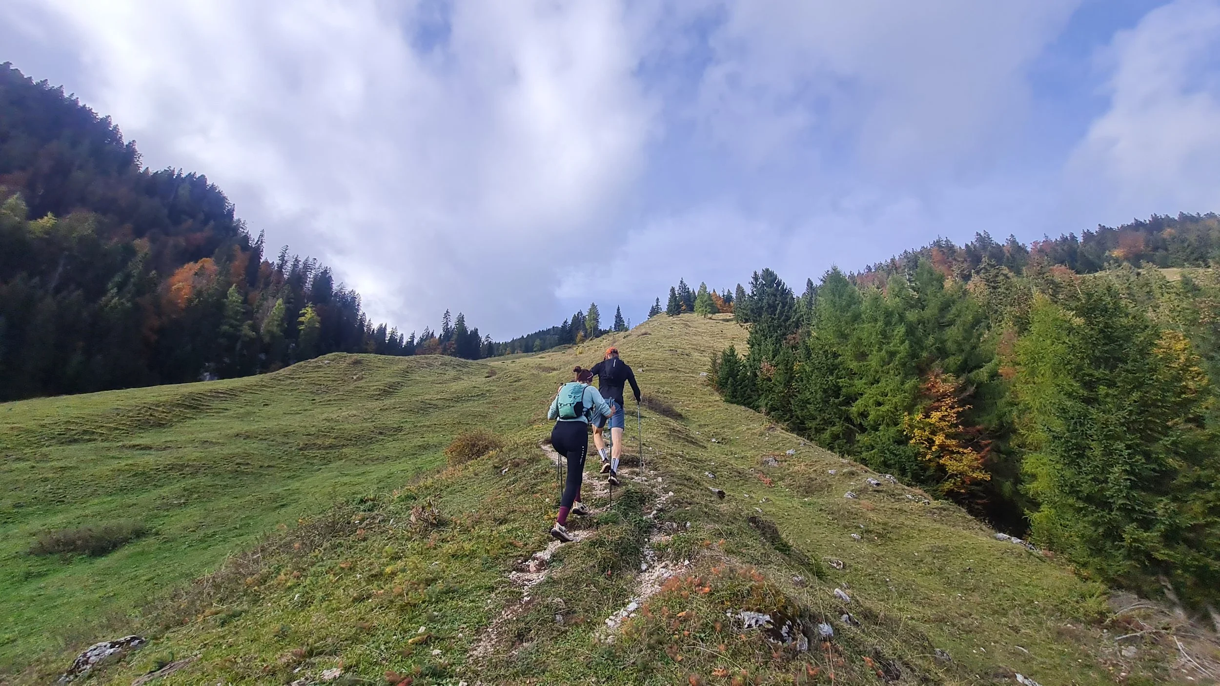
Our autumn loop starts at the free Wittberg parking lot in Kramsach. We initially follow the forest road before turning left onto the trail along the former ski slope after three switchbacks. We stay on this route for quite some time. While not particularly attractive, it is an efficient way to tackle most of the elevation gain on this loop. Passing the Klosteralm, the trail continues steeply uphill across the grassy slopes, only flattening out near the Hofalm at 1500 m.
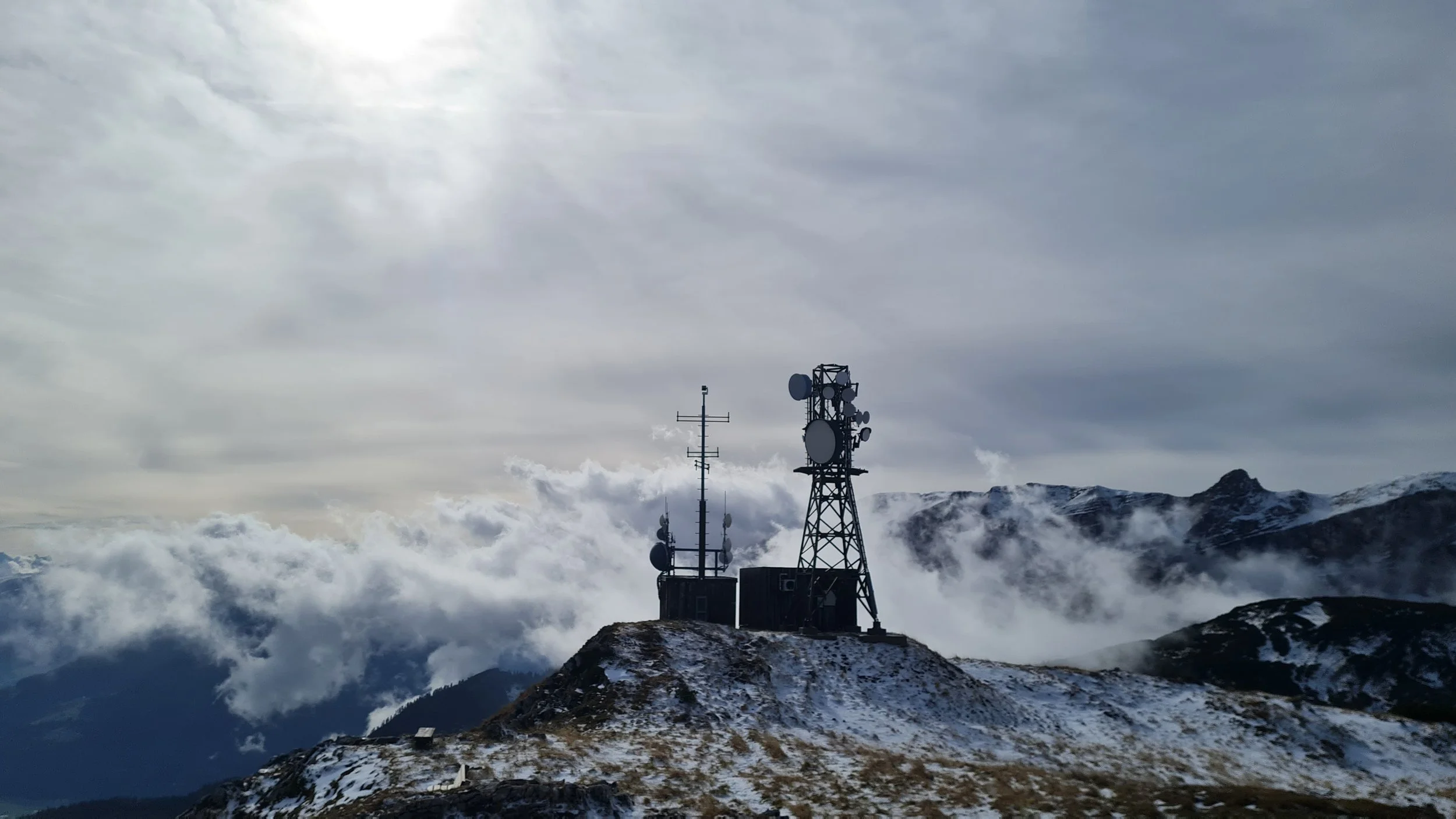
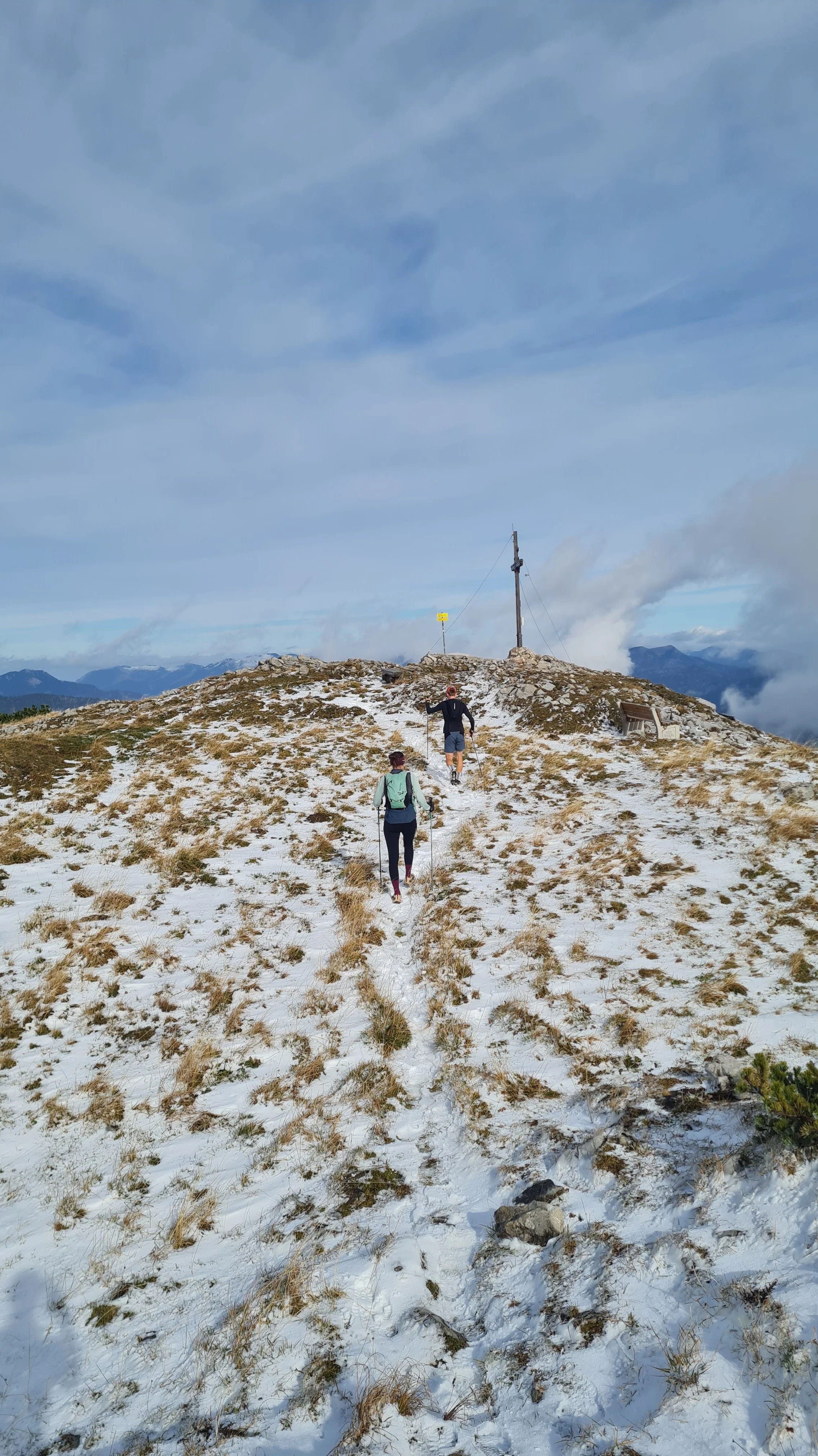
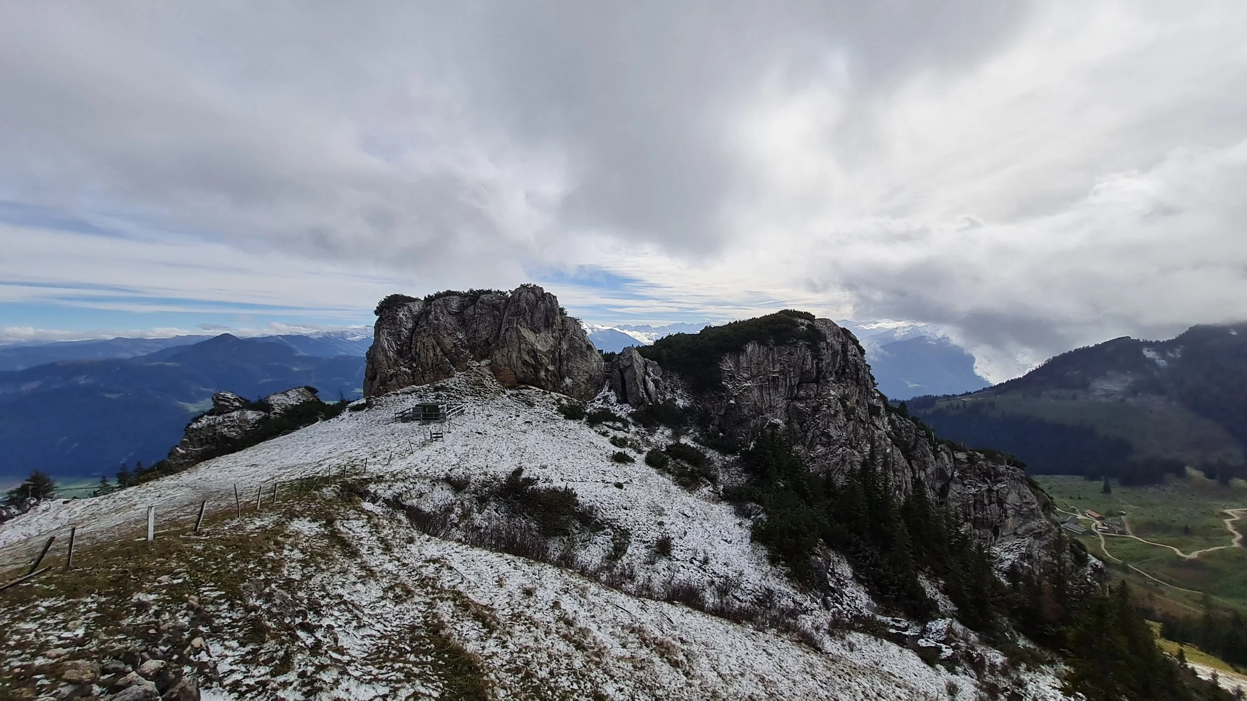
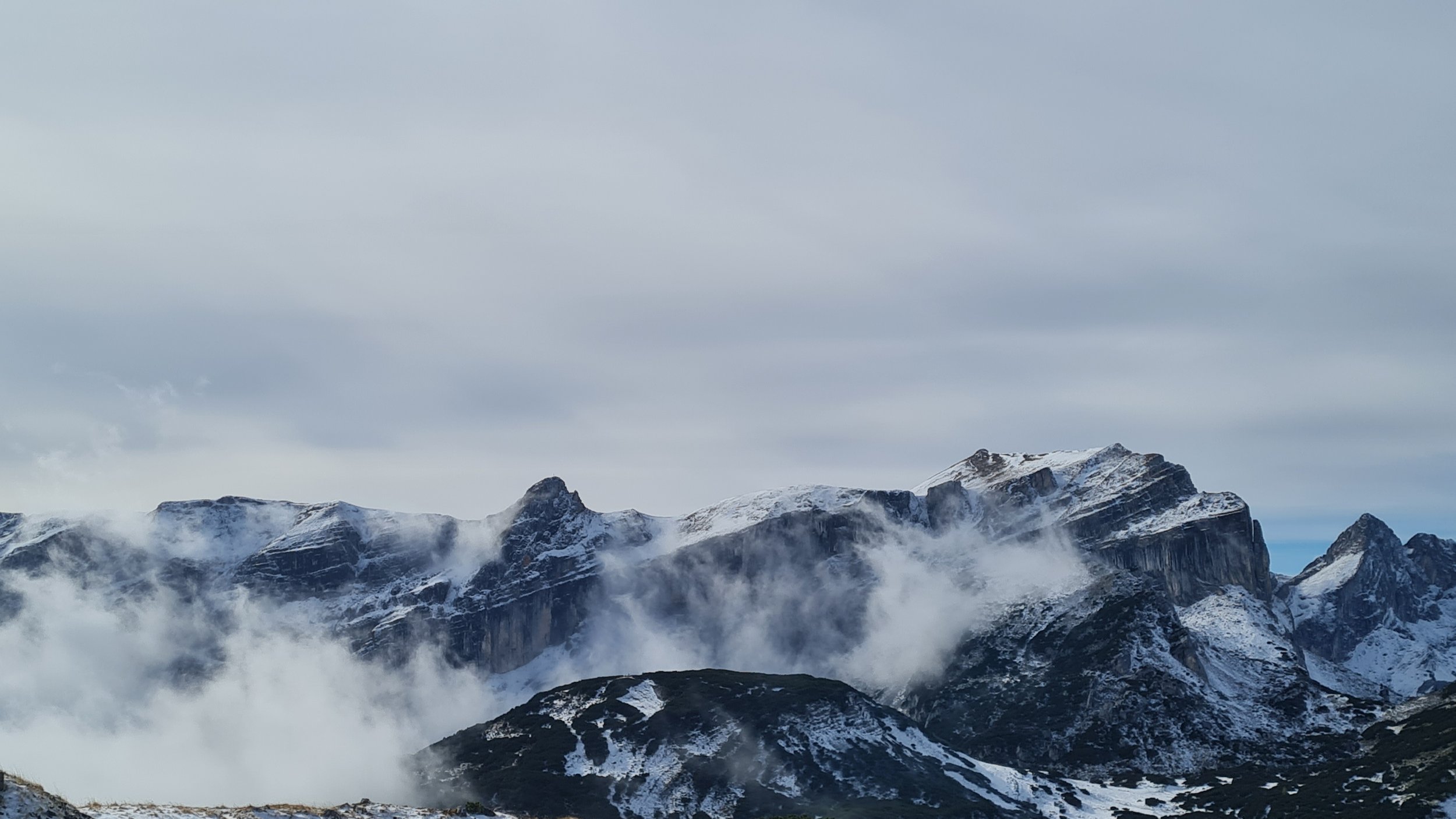
High above us, the Sonnwendjochhaus with its former cable car station sits impressively on the mountainside. This is our next destination, which we reach after a few more trail switchbacks. The route continues practically through the hut's terrace, and directly behind it we can already see our first summit objective of the day: the Rosskogel (1940 m). The summit is quickly reached and, besides a radio tower, features a summit cross and fantastic views. Particularly impressive are the towering east faces of the Rofan peaks – a magnificent mountain arena for unforgettable adventures in both summer and winter. With the Rosskogel, we have completed 1400 vertical meters of ascent and reached the highest point of the loop. From here, an extensive and varied downhill all the way to Pinegg awaits, interrupted by only a few short climbs.
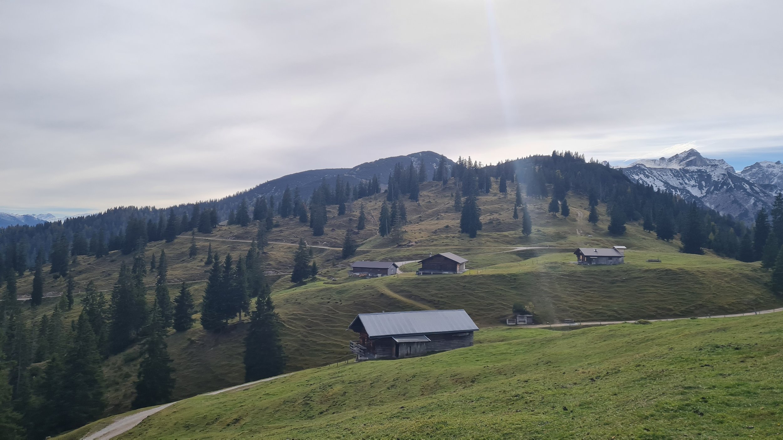
With our poles packed away, we follow the trail northward and, after passing through an area recently scarred by a forest fire, reach the Kreuzeinalm Hochleger. Here we keep left and follow the well-marked trail across easy grassy slopes and later over the open, gently rolling meadows of the Kreuzeinjoch. At the Labeggalm, several trails branch off to the left towards Steinberg, but we keep slightly right, make a short off-trail detour to the Labegg cross, and return to the forest road to reach the “Anderl’s Almhütte” mountain hut – a good opportunity to replenish our energy reserves.
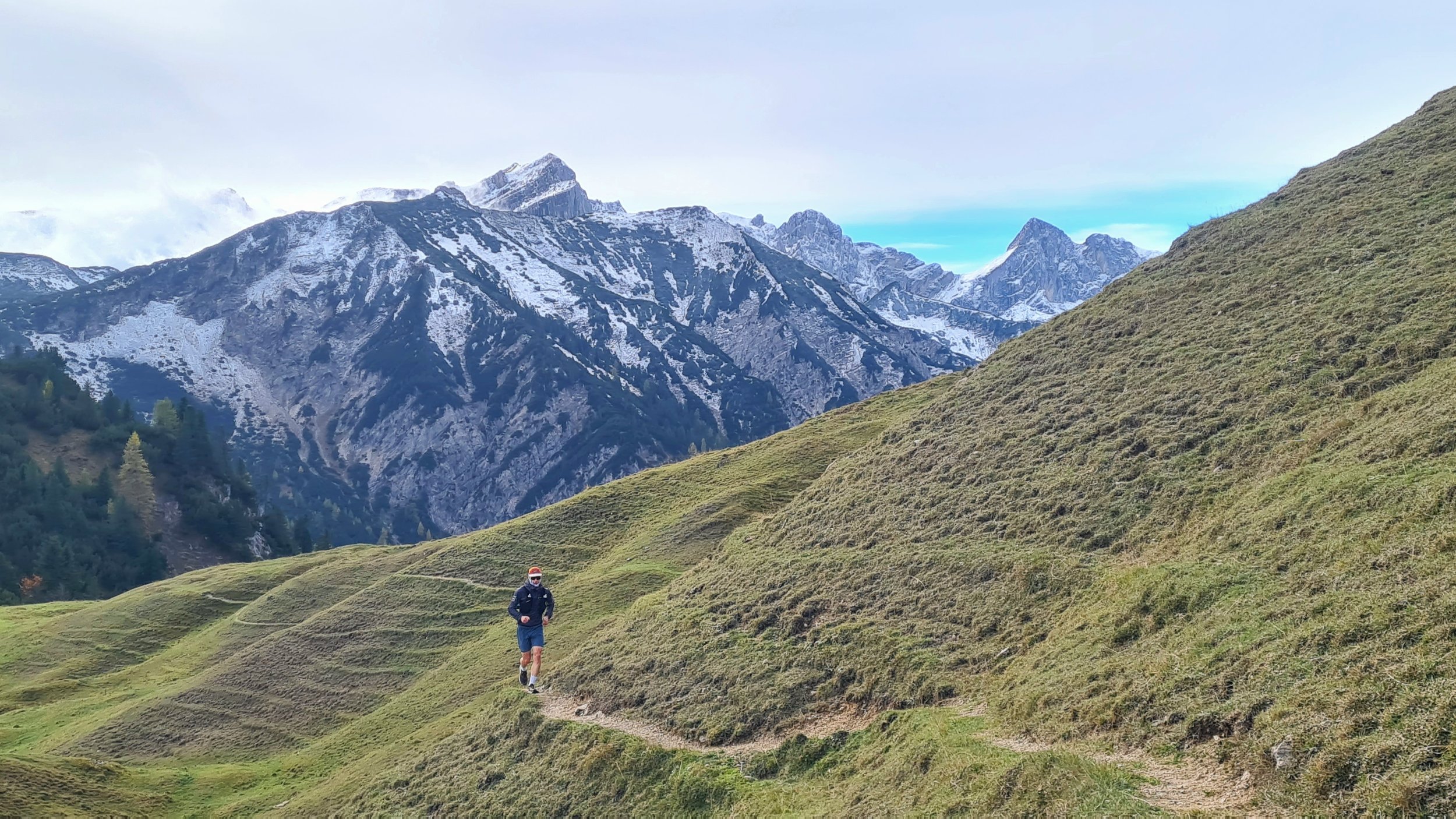
We continue on a mix of trails and forest roads towards the Eilalm, where we first turn right and then left, following the trail signposted “Pinegg über Wimmerjoch”. It is well worth paying attention to this junction, as the following singletrack is probably the most beautiful and enjoyable running section of the entire loop. Through a picturesque pine forest and along a narrow but wonderfully flowy trail on the western slopes, we make our way towards the Wimmerjoch.
From here, the terrain remains varied: first a short section across an alpine meadow, followed by an extremely steep, freshly graded forest road, and then a brief autumnal trail passage through the Burgstallgraben before we finally reach the first houses of Aschau. We cross the village on asphalt, and instead of taking the more direct road down into the valley, we extend our loop further north. After a short climb, we follow the route signposted “Jägersteig” or “Adlerweg”, mostly downhill towards Pinegg. There are a few slightly exposed sections along the trail, but overall nothing particularly challenging.
In Pinegg, we briefly cross the road leading towards the Kaiserklamm and Brandenberg, then turn left onto a shaded path following the Brandenberger Ache downstream to the Tiefenbachklamm mountain inn.
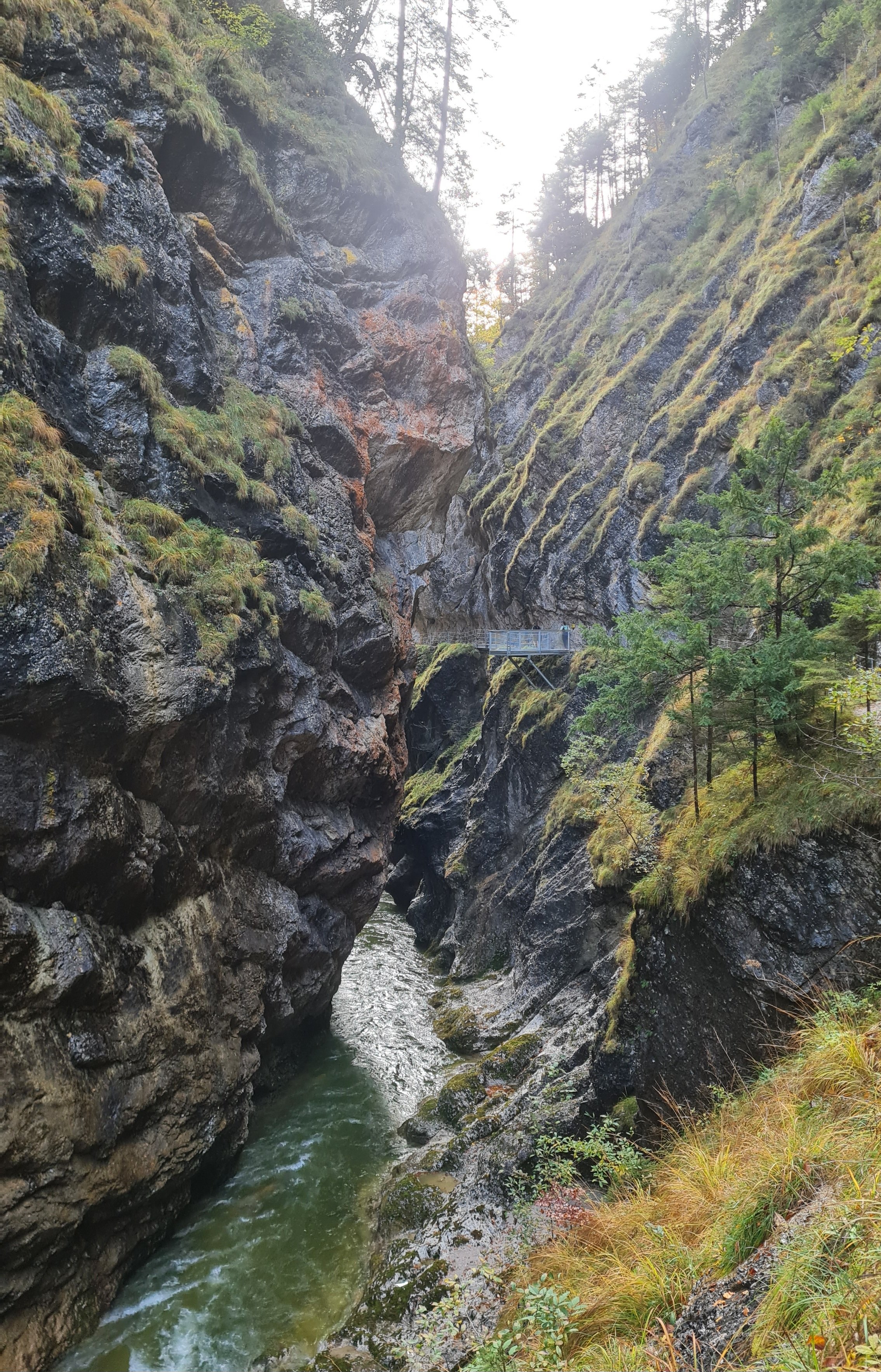
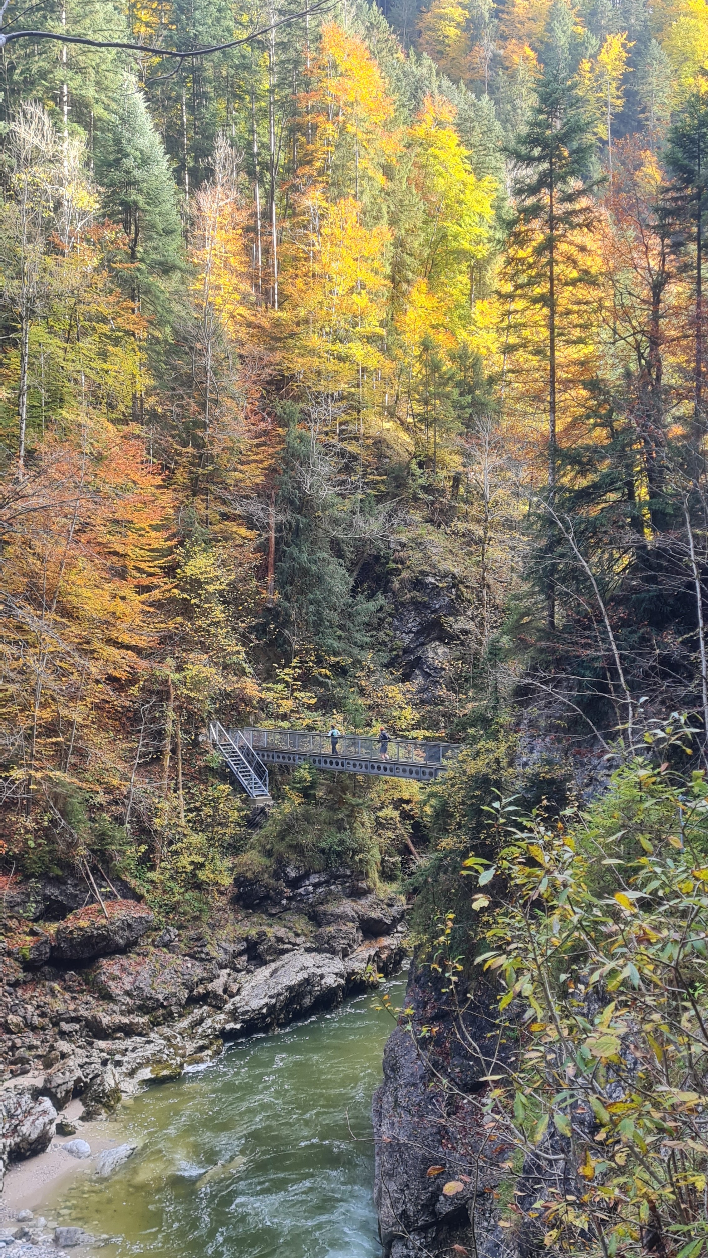
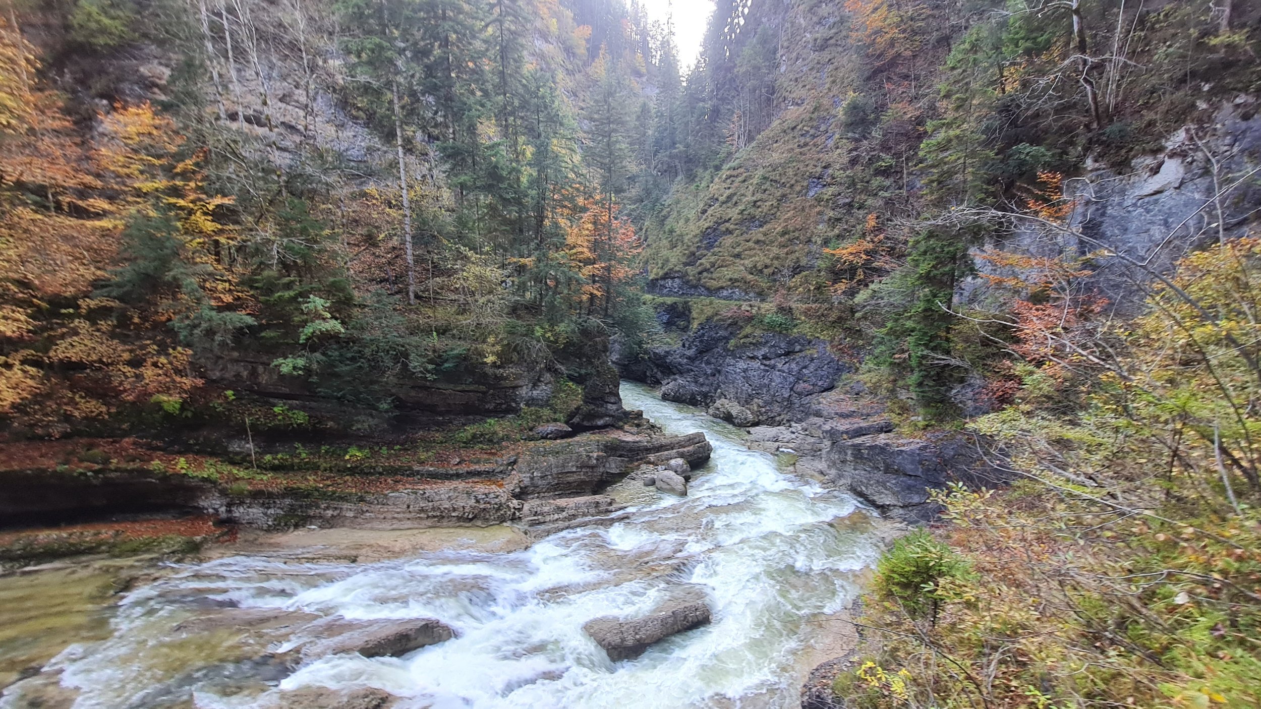
From here, the valley narrows and so does the trail, as we run through the gorge with gentle, continuous ups and downs. In places, the path is spectacularly carved directly into the rock, and several bridges have to be crossed. Despite the dramatic surroundings, the entire route is very well secured with extensive railings and barriers, allowing for smooth and carefree running – provided the crowds of hikers, particularly on weekends and during summer, leave enough room.
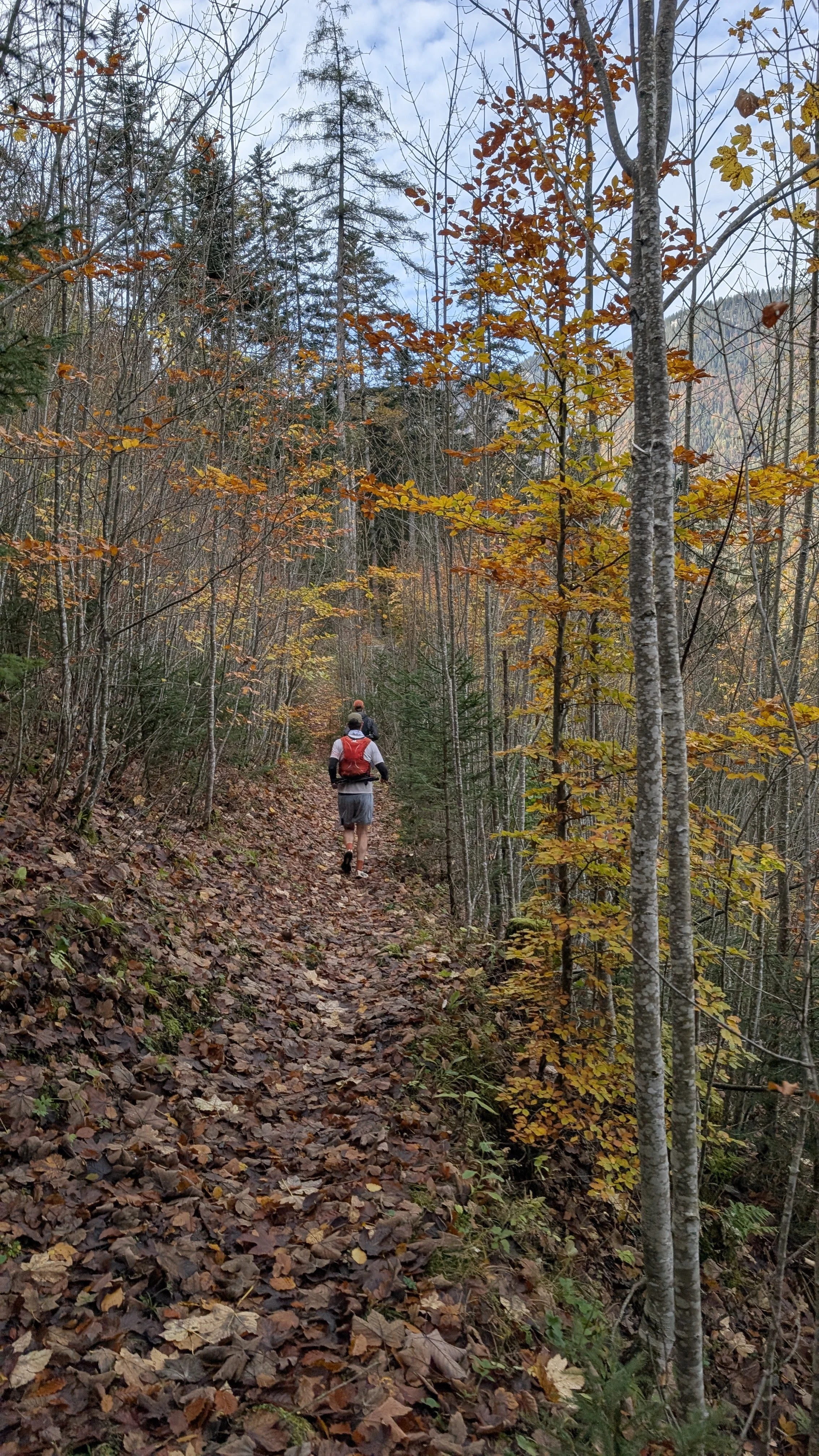
After leaving the Tiefenbachklamm behind, we switch to a less frequented trail above the road, which takes us through the final kilometers down the valley. This root-covered trail can be quite a mental challenge towards the end of the tour, as it climbs several times and adds a surprising amount of extra elevation gain. Fortunately, there are several opportunities to leave the trail and finish the loop along the road instead.
After a short detour to the Marienthal monastery and the river finish of Pendling Express, crossing the Brandenberger Ache twice along the way, we finally return to our starting point in Kramsach.
Photos by @bennibru