

Traverse over Gilfert (2506m)


Technical difficulty: 3/10
Fitness: 4/10
Objective danger: 3/10
Landscape: 8/10
Busy: 5/10
The Gilfert is a broad panoramic summit in the generally mellow Tux Alps. Just as it’s a popular ski touring destination in winter – as already featured here on the blog – it’s also an easily accessible summer peak from nearly all directions. We take advantage of this with a north-facing loop, crossing the summit from northeast to northwest, making it an ideal sunset tour during the summer months. The starting point is Hausstatt at the Hüttegg lift in Weerberg.
Starting point: Parkplatz Hausstatt Weerberg
Ending point: Parkplatz Hausstatt Weerberg
Length: 22km
Vertical: 1500m
Speed: First 6K on runnable forest road, slow going on traverse to Loas, mostly flowy single trails on rest of the loop.
Route:
From the highest of the terraced parking areas, we head east, crossing the ski slope and following the forest road towards Lafasteralm. After crossing the Lafasterbach stream, we enter open alpine pastures of the Lafasteralm,but stay straight at the first switchback, continuing along a less distinct forest road to a private hut. The trail soon narrows into a singletrack, and signs marked “Alpinsteig” warn against attempting it by bike – a warning that should be taken seriously. Although the section after Lafasteralm could technically be considered a downhill, the jungle-like vegetation and several rugged stream crossings (some damaged by storms) make for slow progress. That said, the trail – which joins the forest road just before the Alpengasthof Loas – offers a welcome and varied contrast to the long forest road section before it.
From Gasthof Loas, it’s just a short climb to the Loassattel (you could also start the loop from here), where we turn southwest on a trail heading toward Gamsstein and Gilfert. On a deeply cut path through dreamy alpine scenery, we make steady progress through vast rhododendron (Alpenrosen) fields to reach the first summit, the Kleine Gamsstein (1924 m), which offers a lovely view toward Hochfügen. The trail continues straight, with some gentle ups and downs and increasing technicality – but never too difficult – leading us to the more prominent Große Gamsstein (2142 m). This summit turns out to be a short, flat ridge tapering toward Gilfert. From here, we enjoy sweeping views over the Inn Valley and the Karwendel range with peaks like Hochnissl and Lamsenspitze.
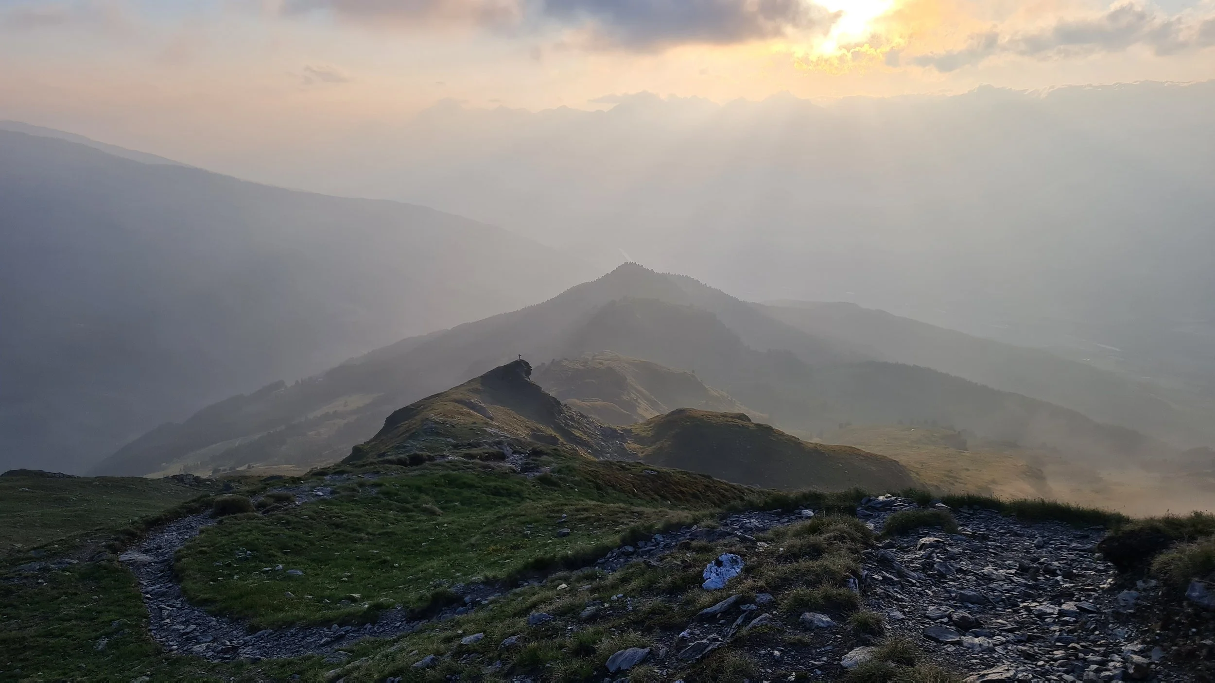
The final ascent to Gilfert becomes a bit steeper, curving slightly southward. A somewhat technical steep section leads to broad, slabby terrain below the summit. From here, it’s still a bit of a distance and about 150 vertical meters to the actual top. Awaiting us at the summit is a massive summit cross and a breathtaking 360-degree view.
Descending, we follow the trail a few more meters southwest before turning northwest, with the next targets – Wetterkreuz and Nonsjöchl – already in view. On this early summer evening tour, we head straight toward the setting sun for the rest of the loop. Signposts and well-worn trails repeatedly tempt us to descend westward toward Nonsalm or Innerst, but we stay on the ridge, preserving the continuous scenic views as we make our way downhill.
Approaching Nonsjöchl, we’re treated to flowy trails, though we also encounter the occasional short uphill. Overall, the descent from Gilfert is a trail runner's dream, pure joy for all fitness levels. Around 1900 m, we reenter forest and soon reach the Hüttegg lift area, with its reservoir and ski slope. We descend directly along the western edge of the piste. Don’t worry – this is much more pleasant than it sounds, as the slope serves as grazing pasture in summer. The direct descent brings us effortlessly back to our starting point, rounding off this gorgeous loop.
Between the lower parking areas, there’s a water point for refilling or cooling off tired legs. We also recommend stopping in at the Hüttegg restaurant, which features a beautiful terrace with panoramic views.
Photos by @bennibru and @the.running.nomad