

The Blaser Round

Technical difficulty: 5/10
Fitness: 3/10
Objective danger: 3/10
Landscape: 6/10
Busy: 8/10
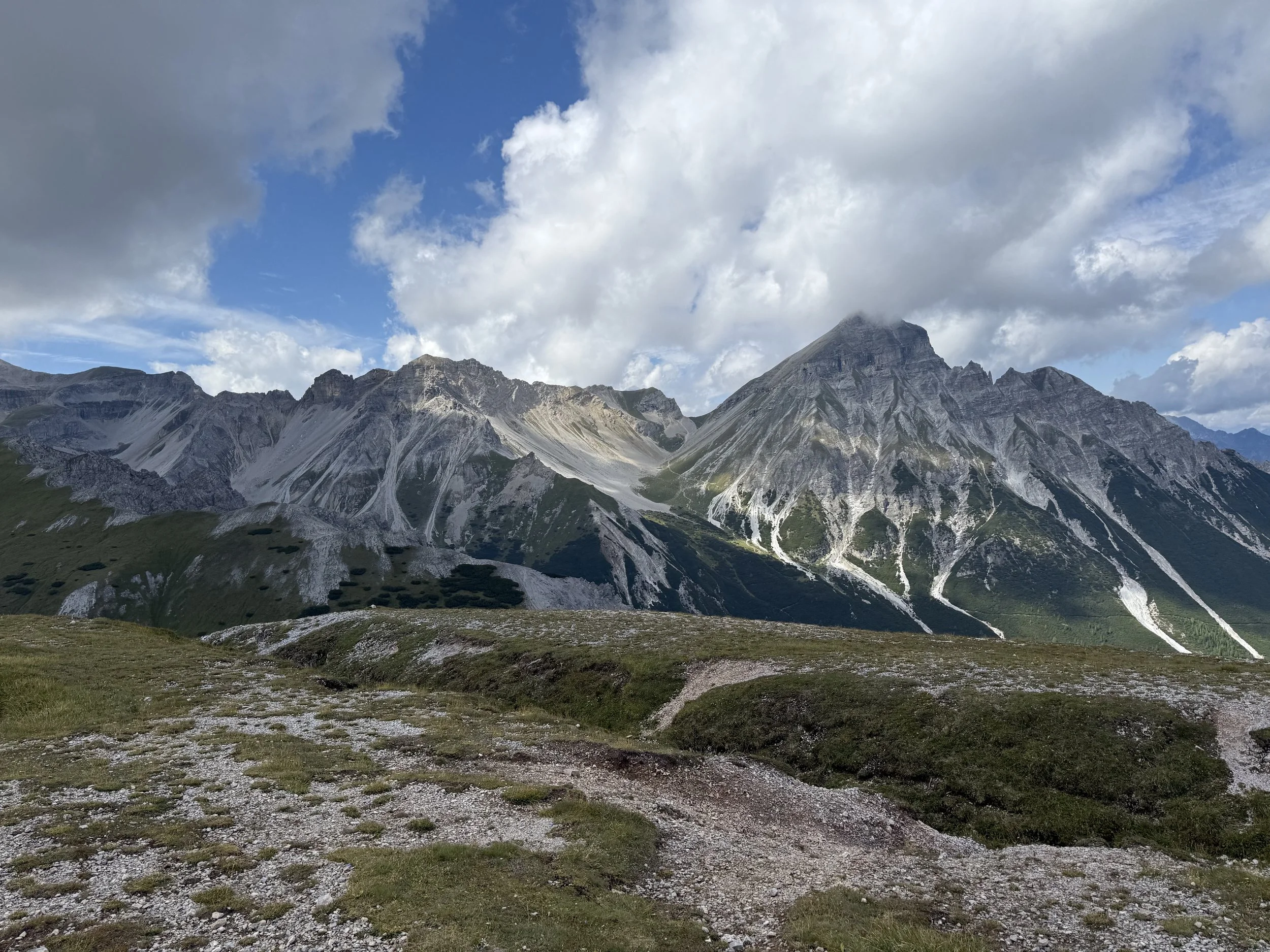
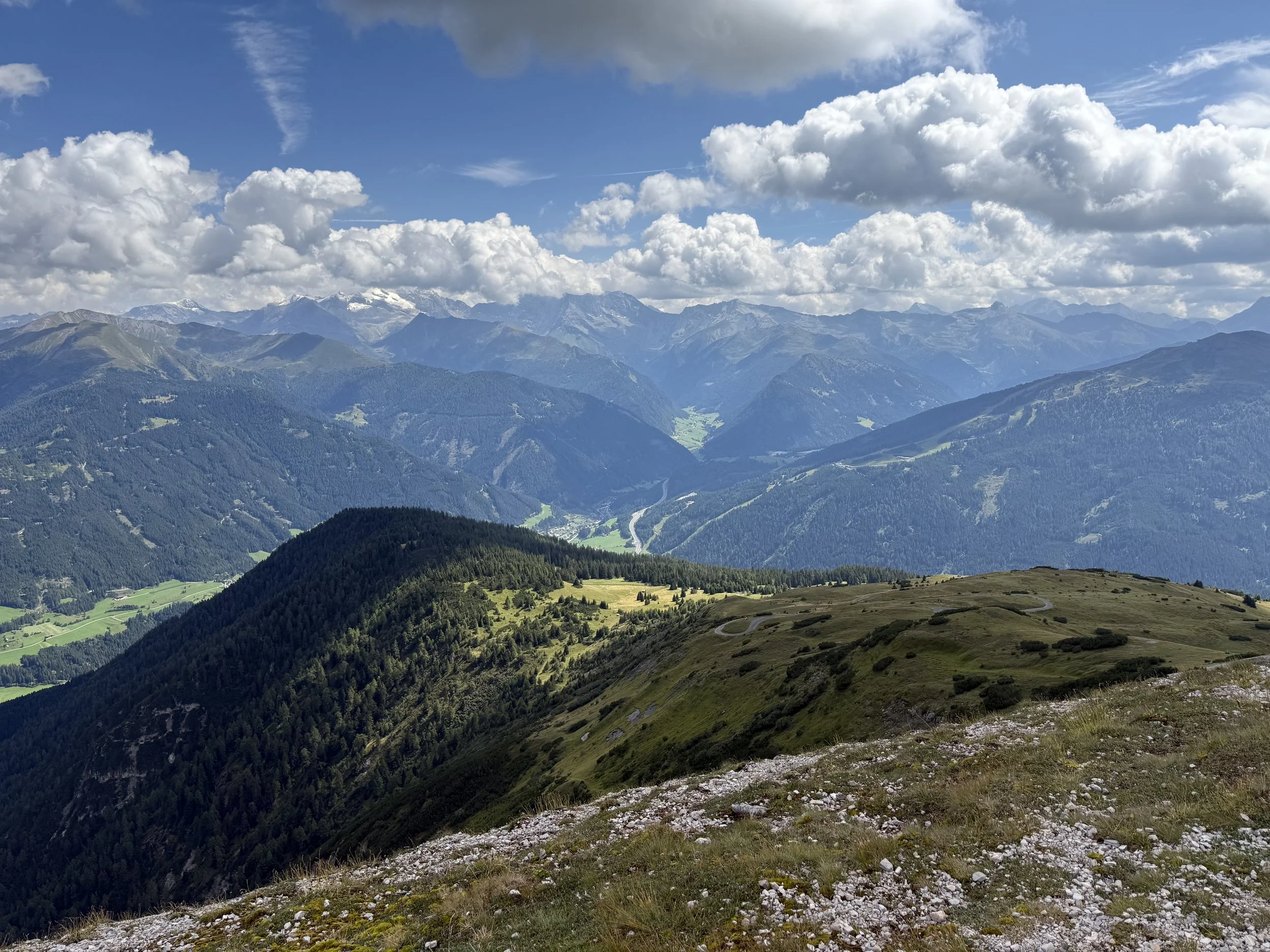
A short round from the Maria Waldrast toll road to the summit of Blaser (2241m) and back with very varied views.
Starting point: Maria Waldrast toll road
Ending point: Maria Waldrast toll road
Length: 10km
Vertical: 900m
Speed: Mostly well maintained trails. Only technical part is descent from the summit of Blaser.
Route:
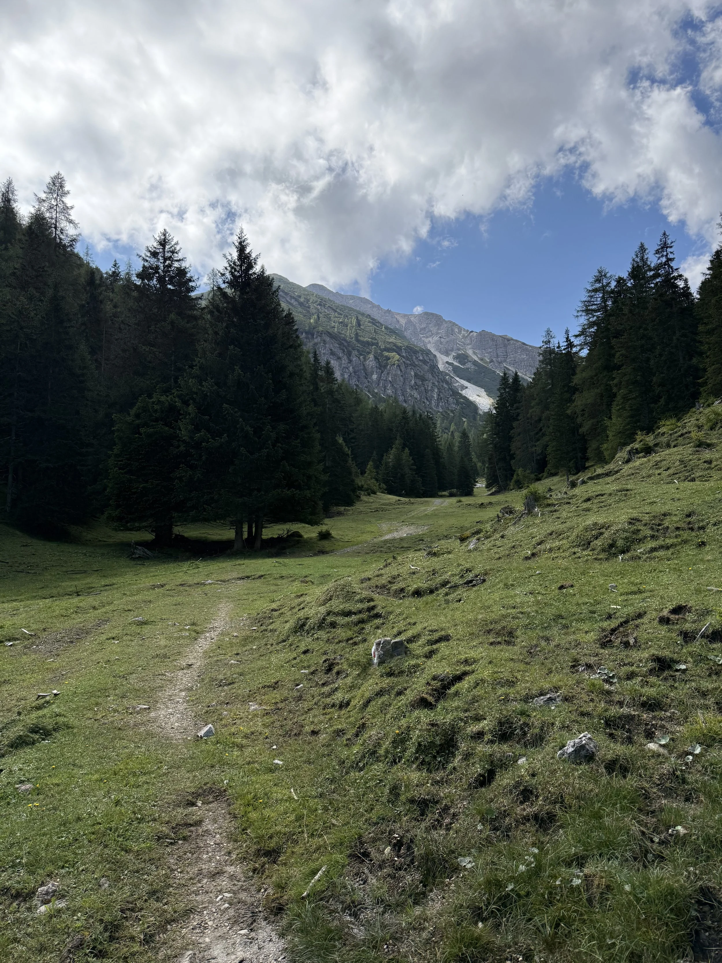
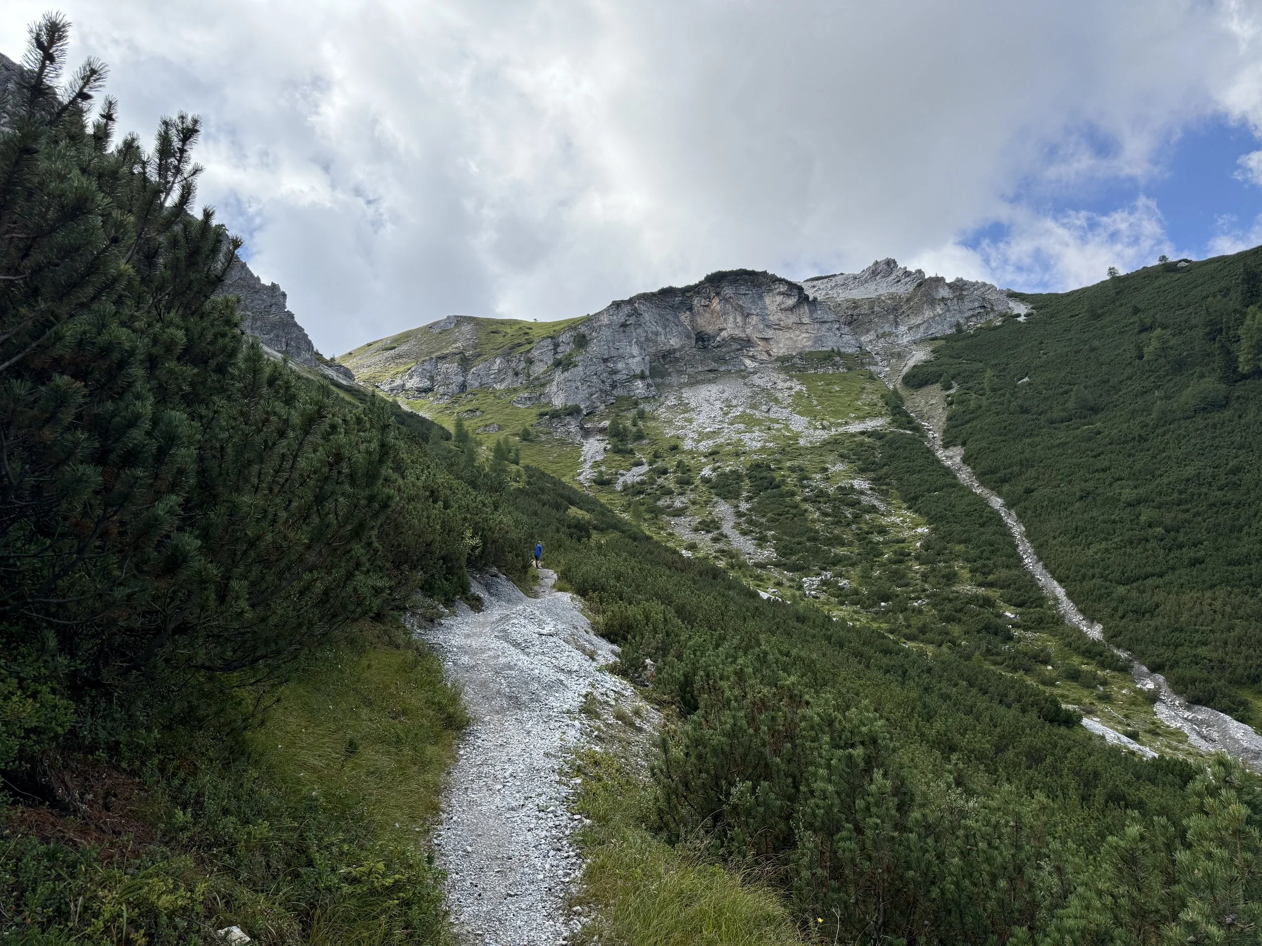
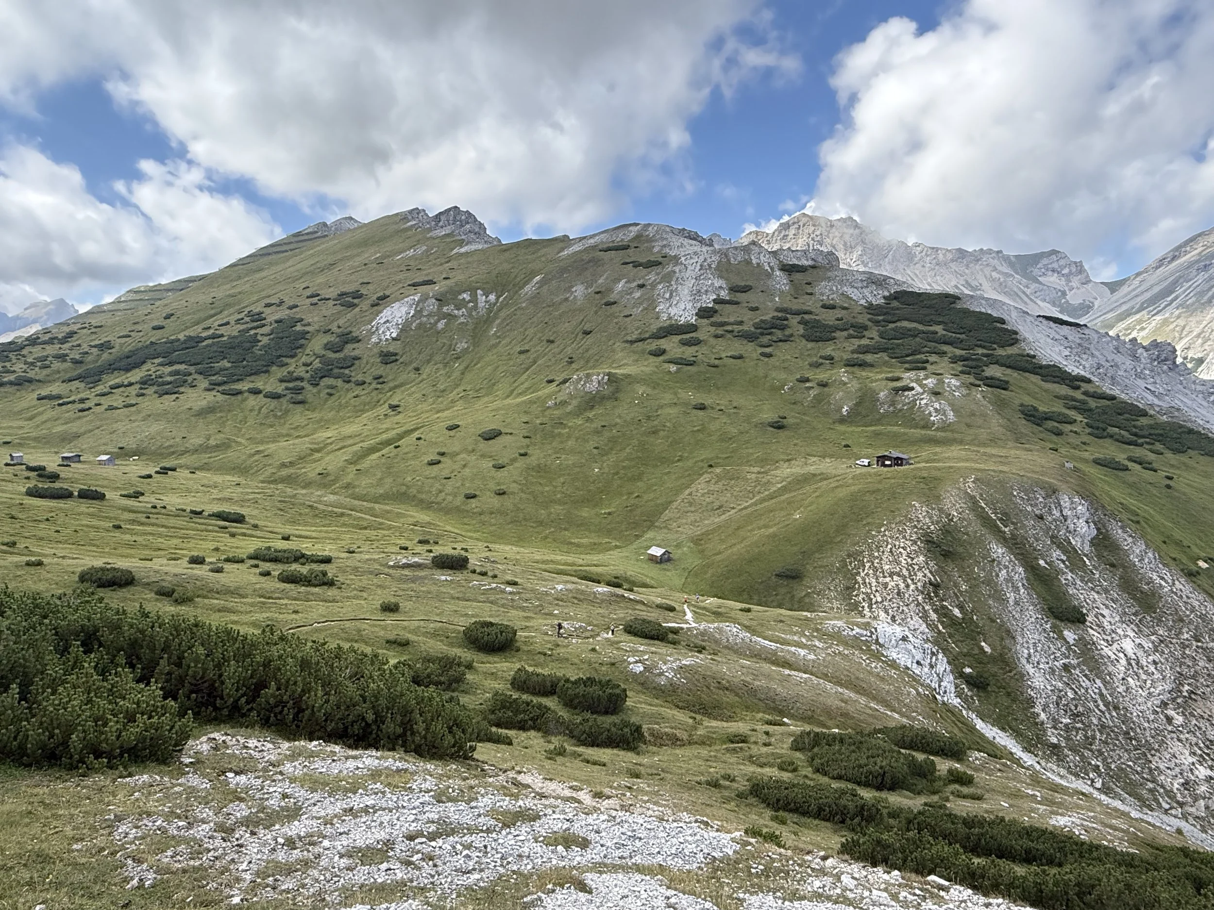
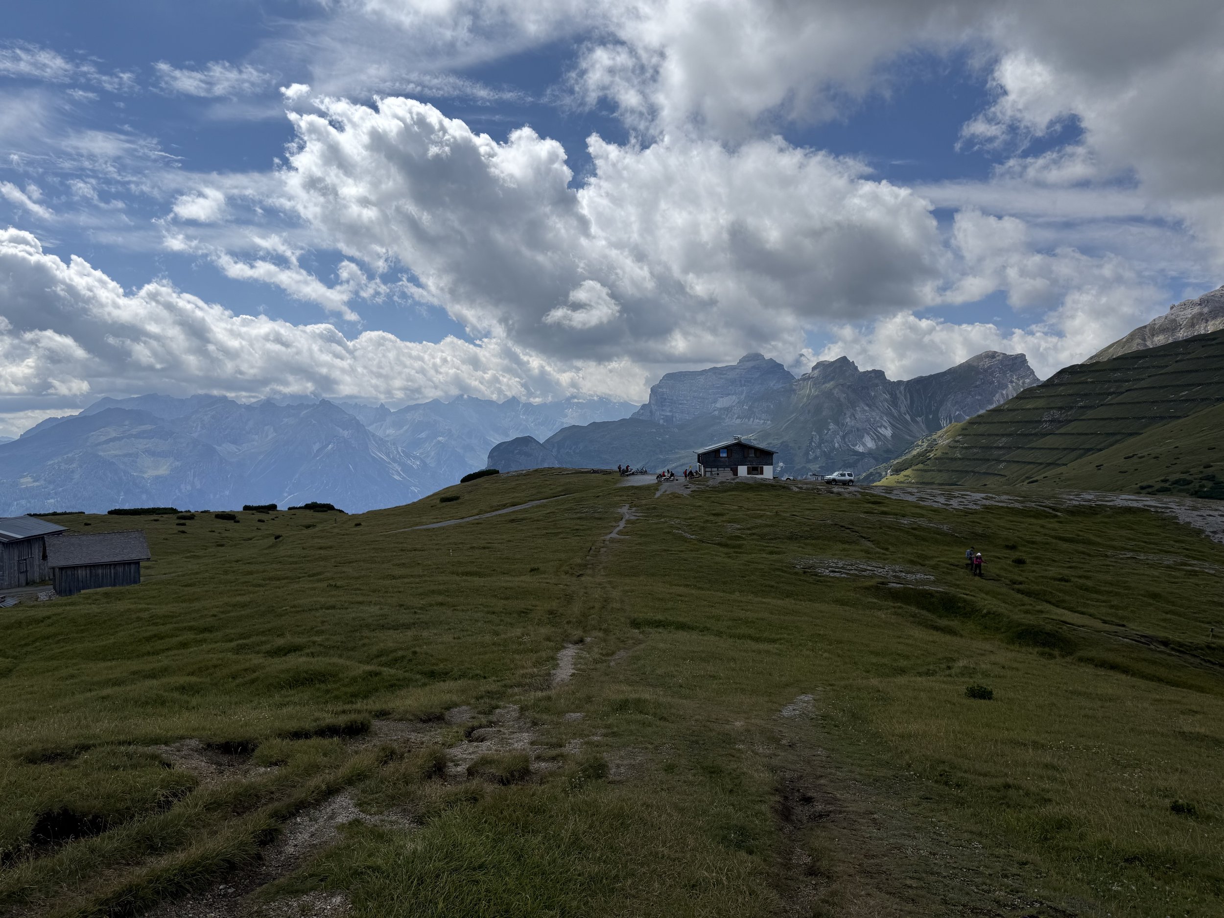
We start following the road for a few minutes until we reach the trail to Matreier Ochsenalm. We pass the hut after another few minutes and follow a small trail through the forest that leads us towards the Langes Tal (the "Long Valley”). The trail follows the valley upwards, getting progressively steeper until reaching a saddle with a small private hut in it. From here it is only about 150 vertical meters to the Blaserhütte - an excellent spot for taking a break.
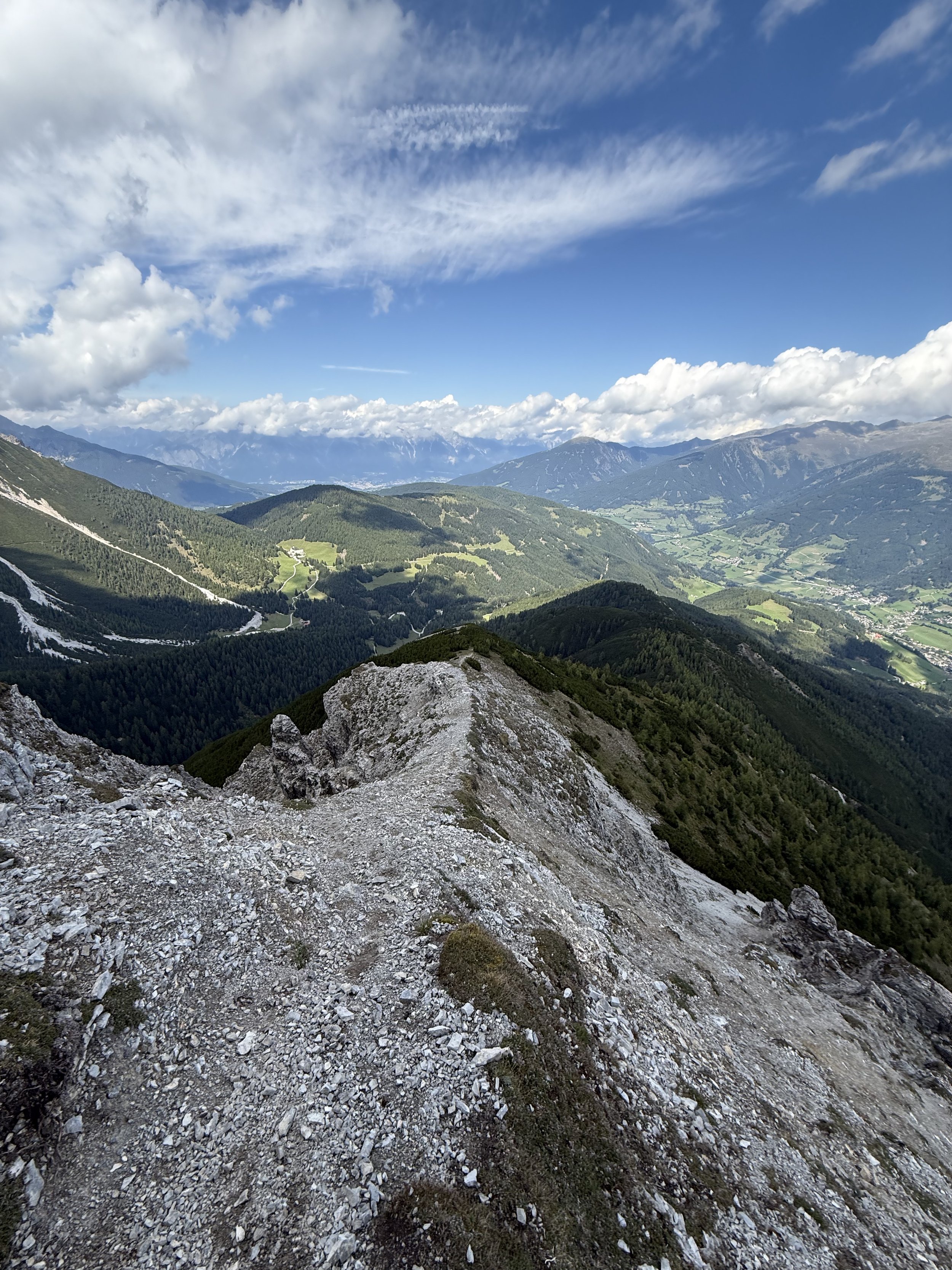
From the hut, we follow a wide and gently rising trail across the grassy slopes to reach the summit of Blaser (2241m) through its south-western flank. From here, the trail gets interesting for a little bit. We continue down from the summit on the north ridge, full of loose gravel and a few slippery sections. Eventually we reach the trees again and the trail gets a lot sturdier. There is an optional side-quest to the summit of Weißes Wandl (1830m), adding another 200 verts or so extra. It is well marked on the downhill.
Our trail traverse its summit on the east side, descending deeper into the trees, with Gries am Brenner visible in the distance in the valley. Just before the toll road becomes visible, we take the trail turning left at a small chapel. This trail leads us back to the toll road on a traverse, making up for fewer verticals and much nicer running.
Once we reach the road, it is only about two turns uphill back to where we parked.
Photos by @the.running.nomad and @annikasuess