Scheffauer - Sonneck ridge
Technical difficulty: 10/10
Fitness: 7/10
Objective danger: 9/10
Landscape: 9/10
Busy: 1/10 (6/10 on the way to Scheffauer)
A technical ridge on the west side of Wilder Kaiser mountains. Exposure, scrambling and amazing views.
Starting point: Parkplatz Hintersteiner See
Ending point: Parkplatz Hintersteiner See
Length: 20km
Vertical: 2000m
Speed: First and last quarter very runnable. Middle half scrambly and slow.
Route:
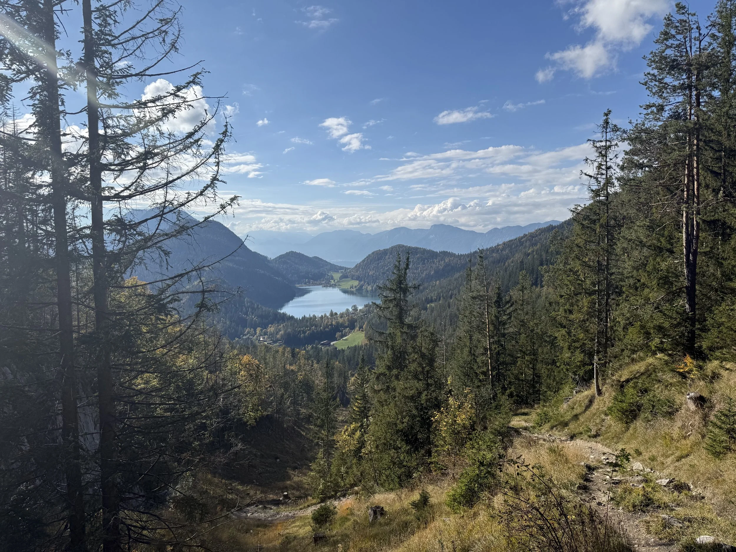
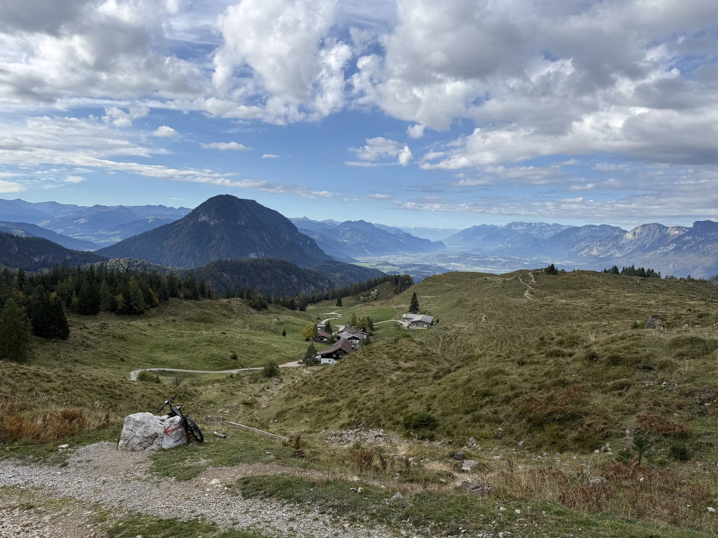
We start off from the parking lot heading north-west, following the signs to Waller Alm. The trail ascends through the forest, traversing its way on the south-west flanks of Wilder Kaiser. We follow trails and forest roads for about 600 vertical meters before the landscape opens up, with multiple small huts available to stop at. One of these is Waller Alm.
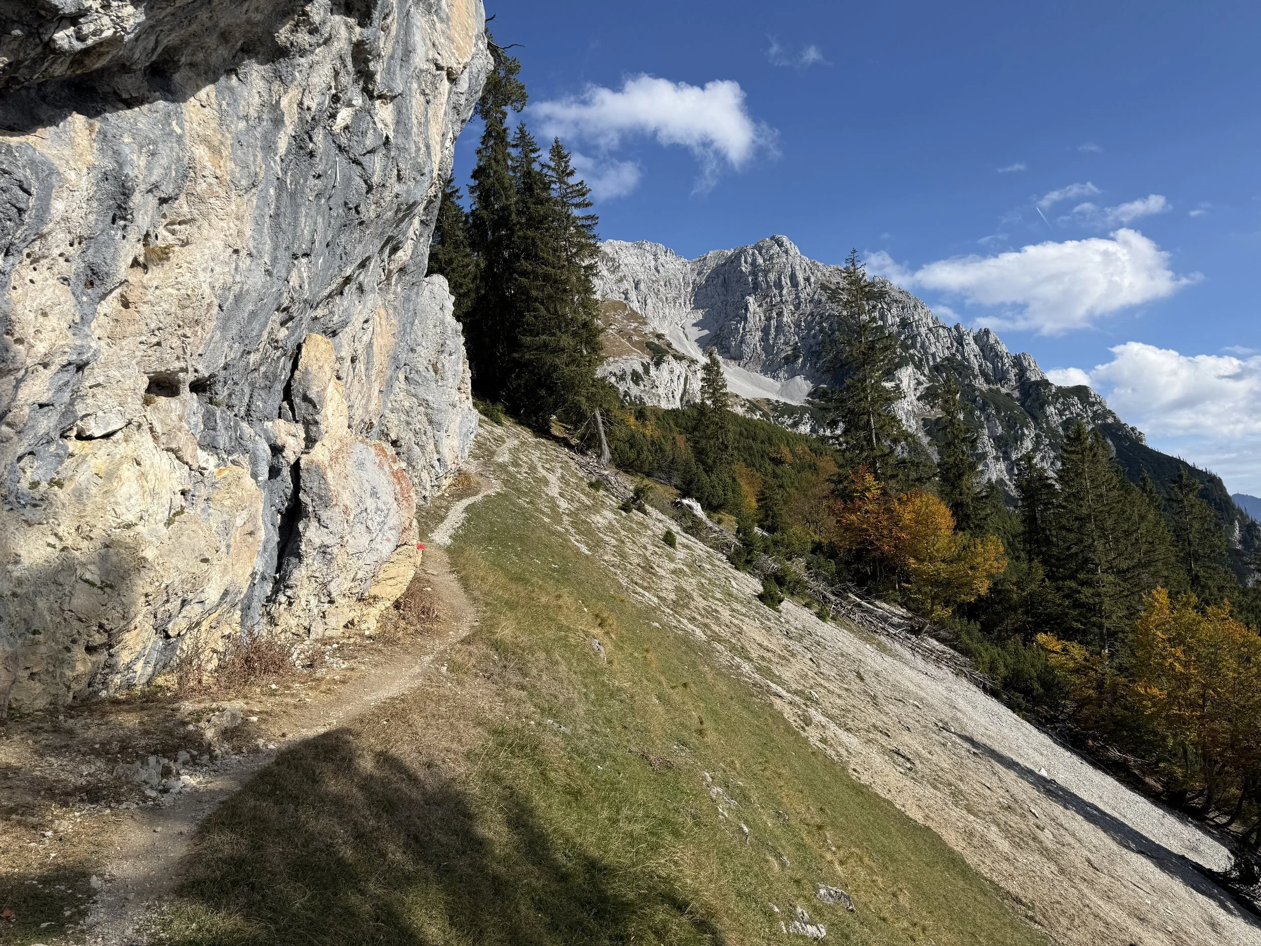
We continue on a nice trail uphill. The trail starts to slowly turn around the north side of Wilder Kaiser mountain range. We run through rolling terrain before passing the first summit cross on the way at Hochegg (1470m). We continue on a short downhill towards the Kaindlhütte. Just before reaching the hut itself, a trail veers off to the right towards the steep walls, following the signs towards Scheffauer.
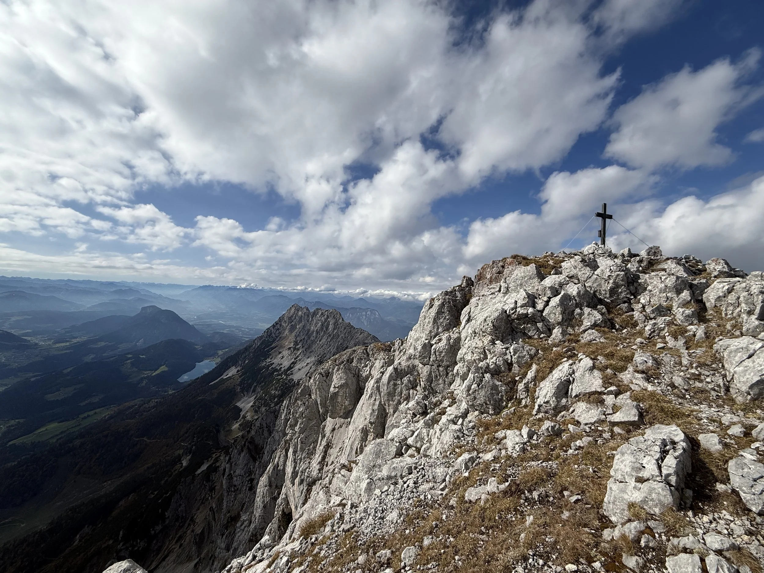
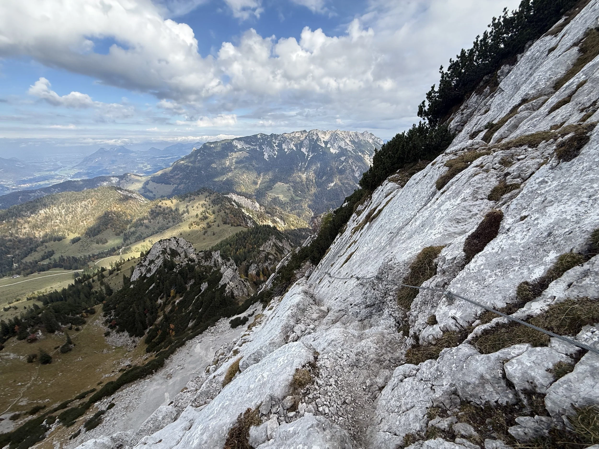
The trail ascends steeply until it climbs out of the forest and gets to the base of the rock phase. Here the technical parts begin. We start off on the Widauersteig, ascending the steep walls of Wilder Kaiser through a sequence of steel fixed ropes along the way. The trail is very exposed but not technically difficult and very well secured. It ascends steeply through the rock gully until reaching the ridge at a saddle. Here we finally get a great view to the south side of Wilder Kaiser as well. From here, the trail leads right for a few minutes before reaching the summit cross at Scheffauer (2111m).
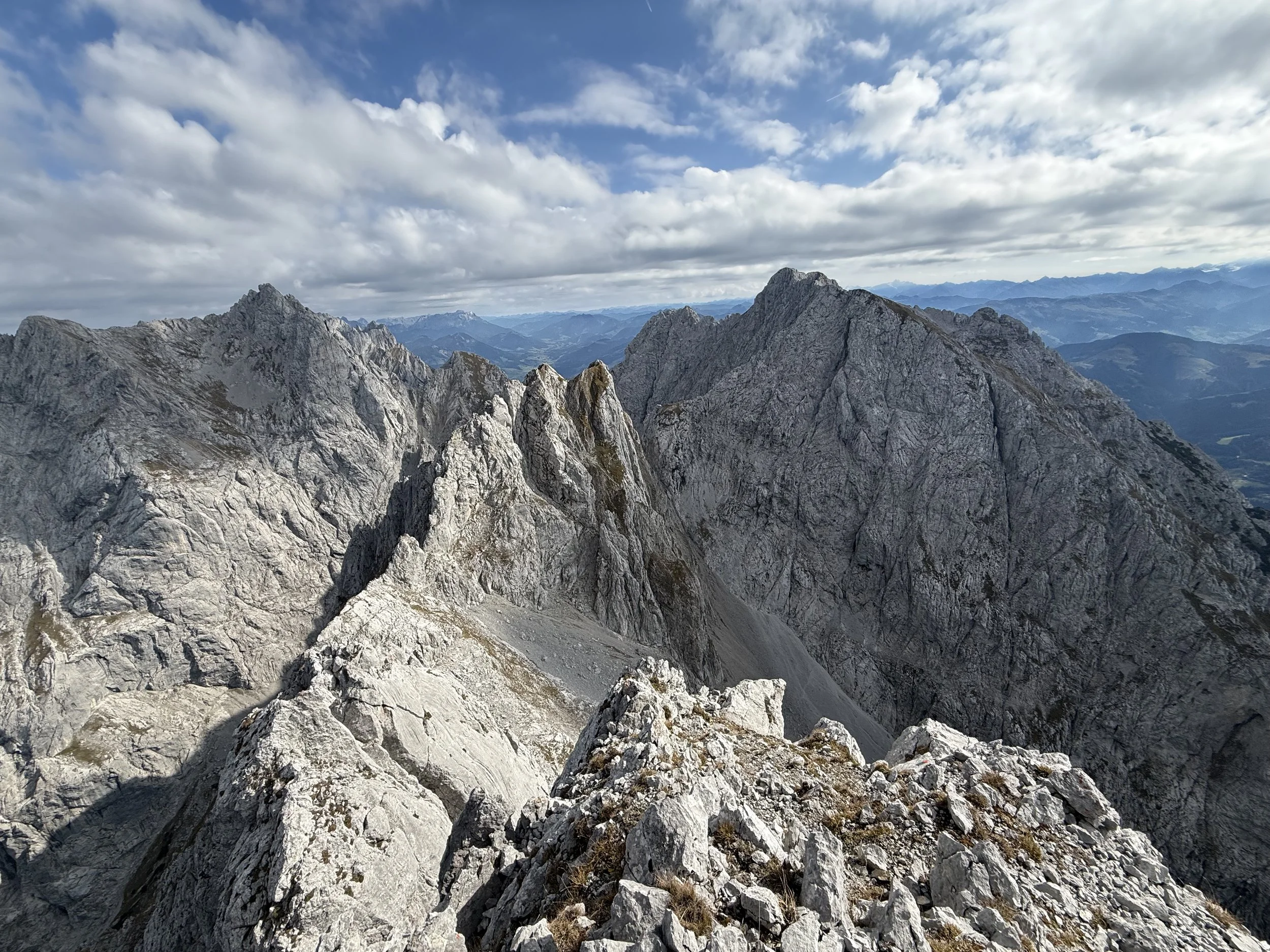
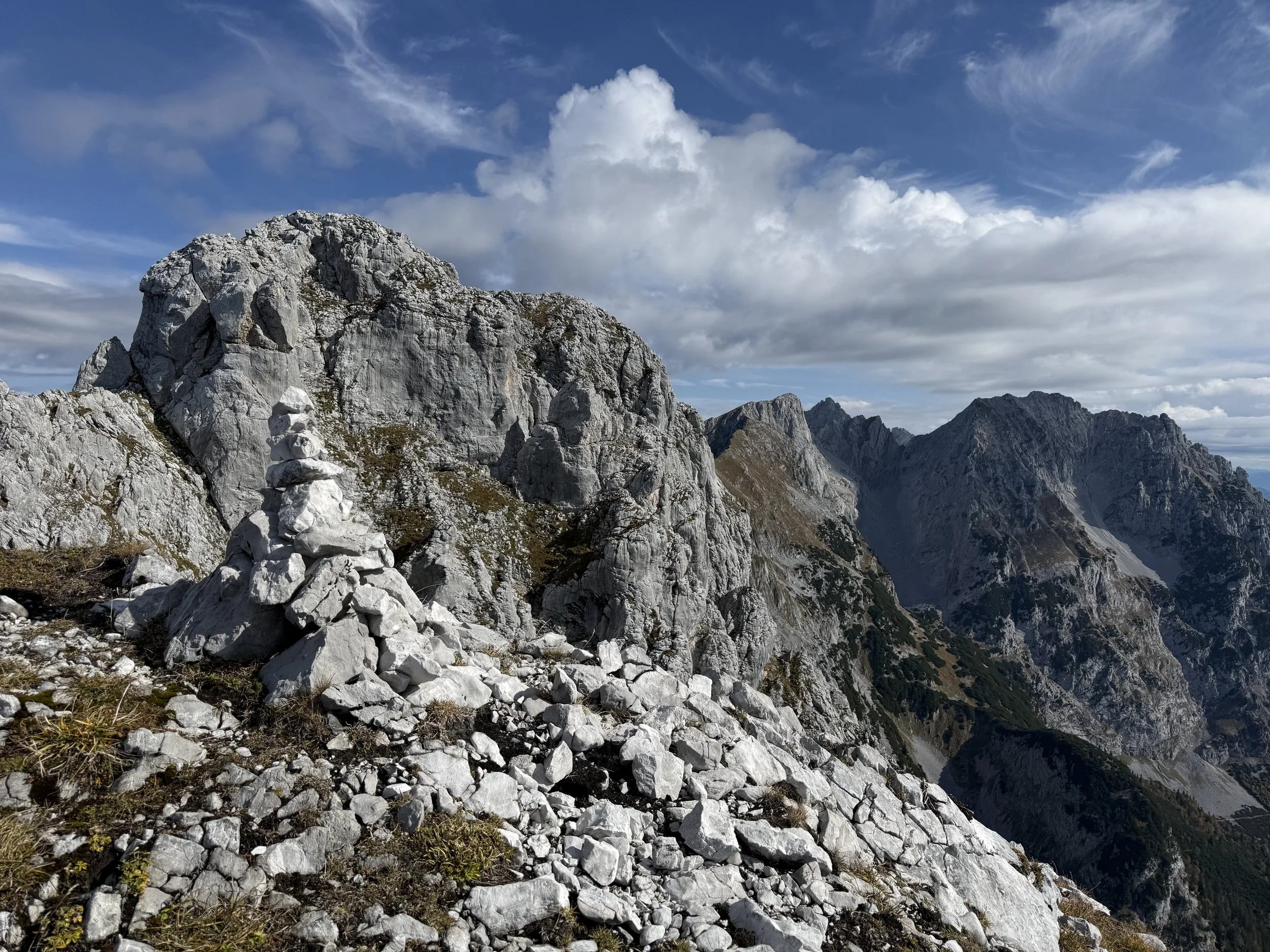
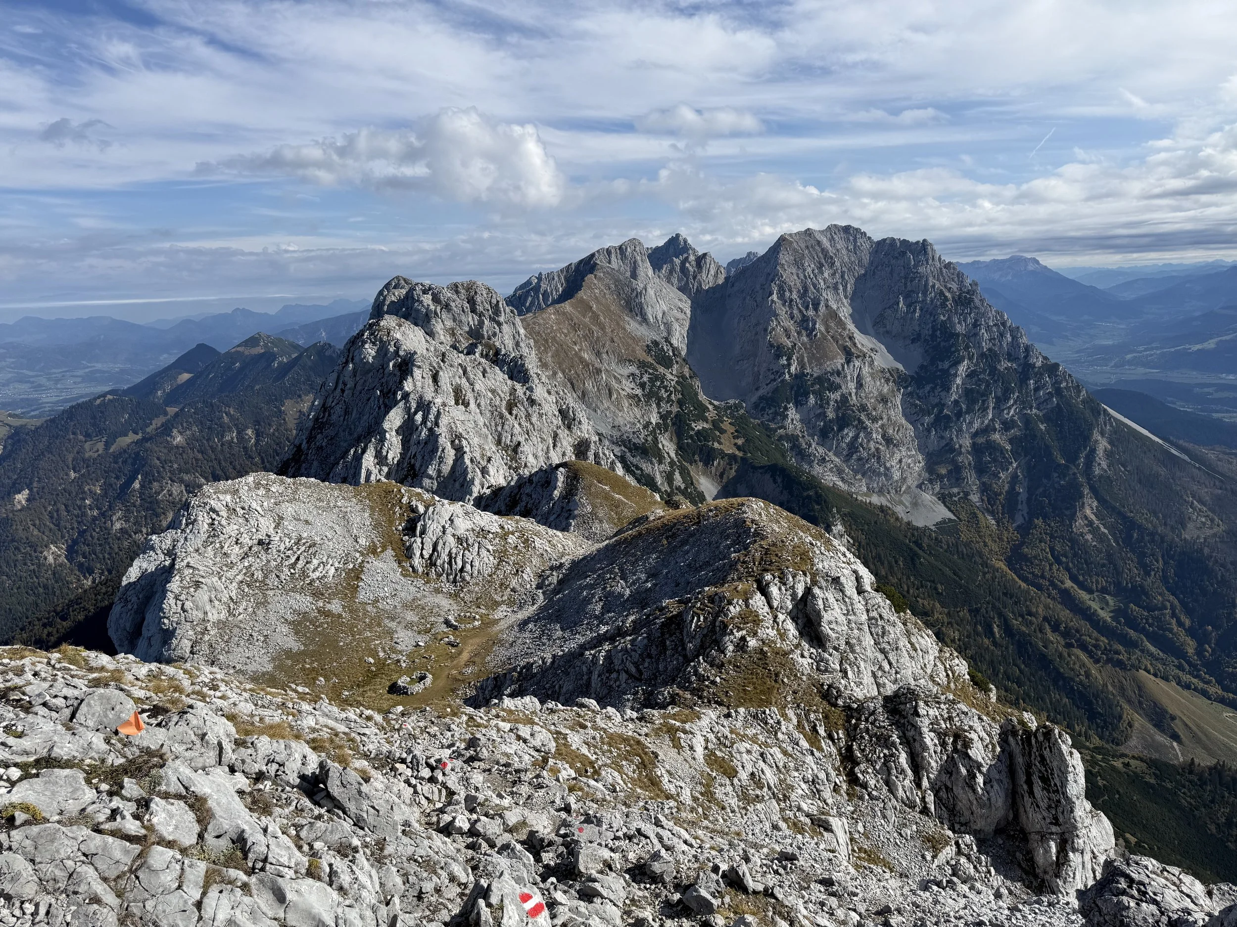
We retrace our steps back to the saddle and continue on the ridge east on a small unmarked trail following the obvious ridge. There are a few cairns in places and some red dots on the rock, but generally it is a good idea to follow the GPS and think before climbing on. After about 100m from the saddle, the first rock step stands in our way. It is about II+ in difficulty. It provides a good benchmark for your comfort. There are many similarly difficult spots along the ridge. If this place does not feel comfortable to you, DON’T CONTINUE.
The ridge is easy to navigate and gets progressively easier as we go on. It is quite long and slow going, so allow plenty of time to get through. We pass the summits of Westlicher Hackenkopf (2,092 m), Mittlerer Hackenkopf (2,119 m), Östlicher Hackenkopf (2,030 m), Wiesberg (1,998 m) and finally another summit cross at Kopfkraxen (2,180 m). From here, a short rope-secured part and a short uphill leads us to an imposing summit of Sonneck (2260m).
It is time for descent. First we retrace our steps backwards over the summit of Kopfkraxen. Shortly after the summit, a trail turns of south and leads steeply down the mountain. We keep going down, following the signs to Kaiser Hochalm. Once we reach the small private hut, we connect to a forest road and the going gets much faster. From here the navigation is easy and we follow the signs leading us on nice runnable trails back to the parking at Hintersteinersee.
Pro-Tip: Don’t do this when wet!
Pro-Tip #2: Helmet might be useful on the uphill to Scheffauer if you are going on the weekend and there is lot of people around.
Photos by @the.running.nomad