Salfeinsee Ridge Loop Long
Technical difficulty: 4/10
Fitness: 4/10
Objective danger: 2/10
Landscape: 8/10
Busy: 2/10 (8/10 at Salfeins)
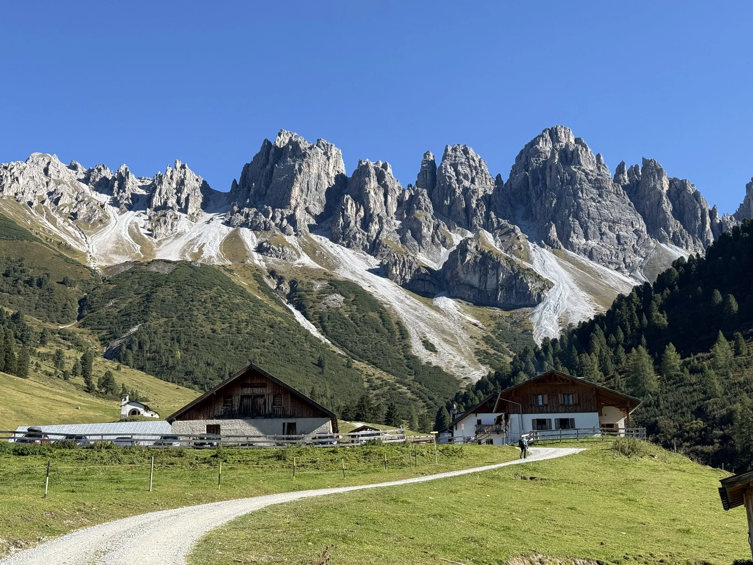
A very picturesque loop with a nice ridge line and a great view of Kalkkogel
Starting point: Parkplatz Salfeinersee
Ending point: Parkplatz Salfeinersee
Length: 16km
Vertical: 1150m
Speed: Quite runnable trails all along
Route:
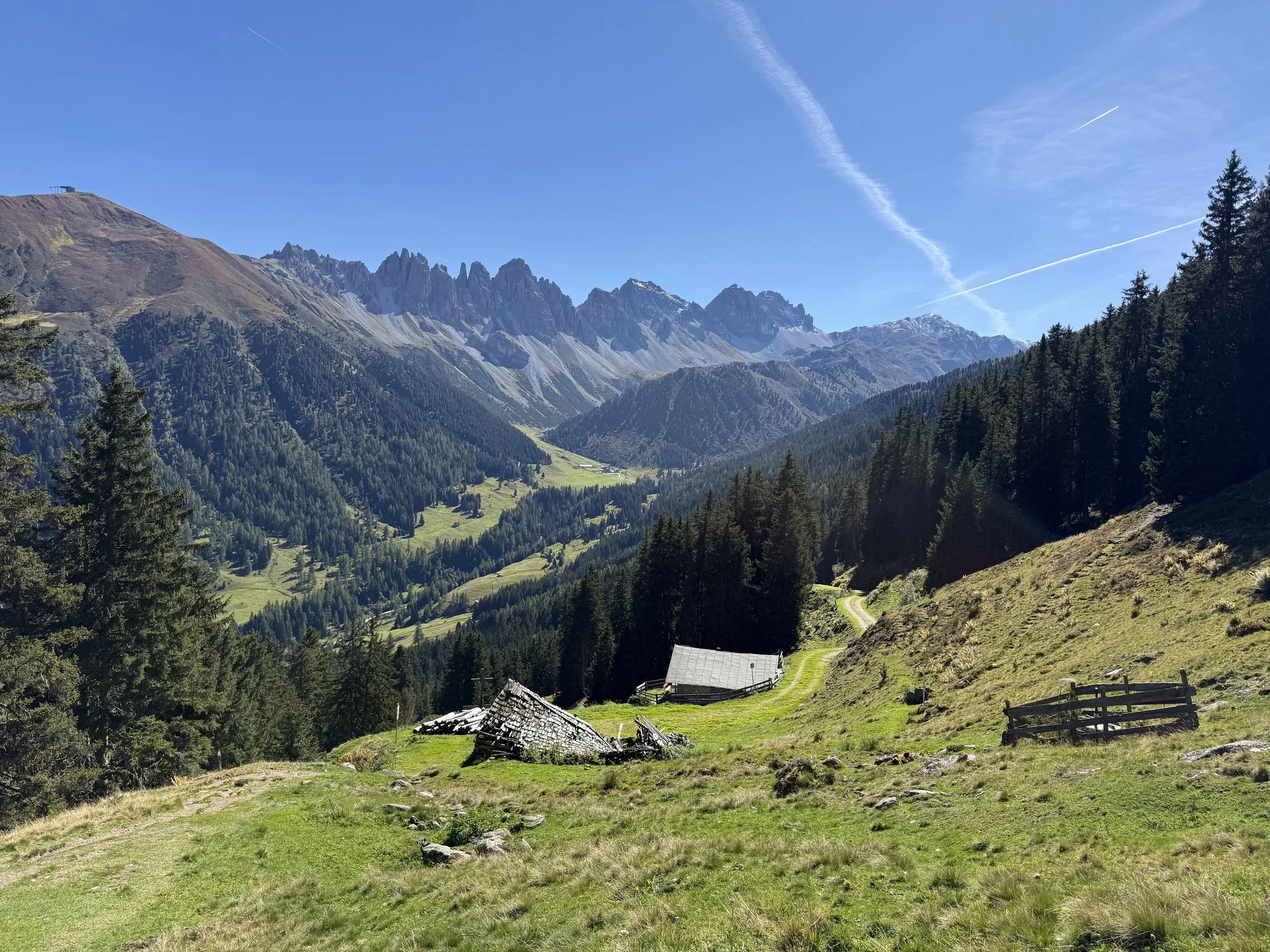
We start of on a forest road heading north-west uphill, following the signs to Salfeins. This uphill often gets very busy, so workdays or early morning or late afternoon is better to avoid the crowds. We leave the road shortly after the first turn and head up on a steep trail through the fields until reaching a small private hut at Salfeinser Alm. There is a water source next to the hut.
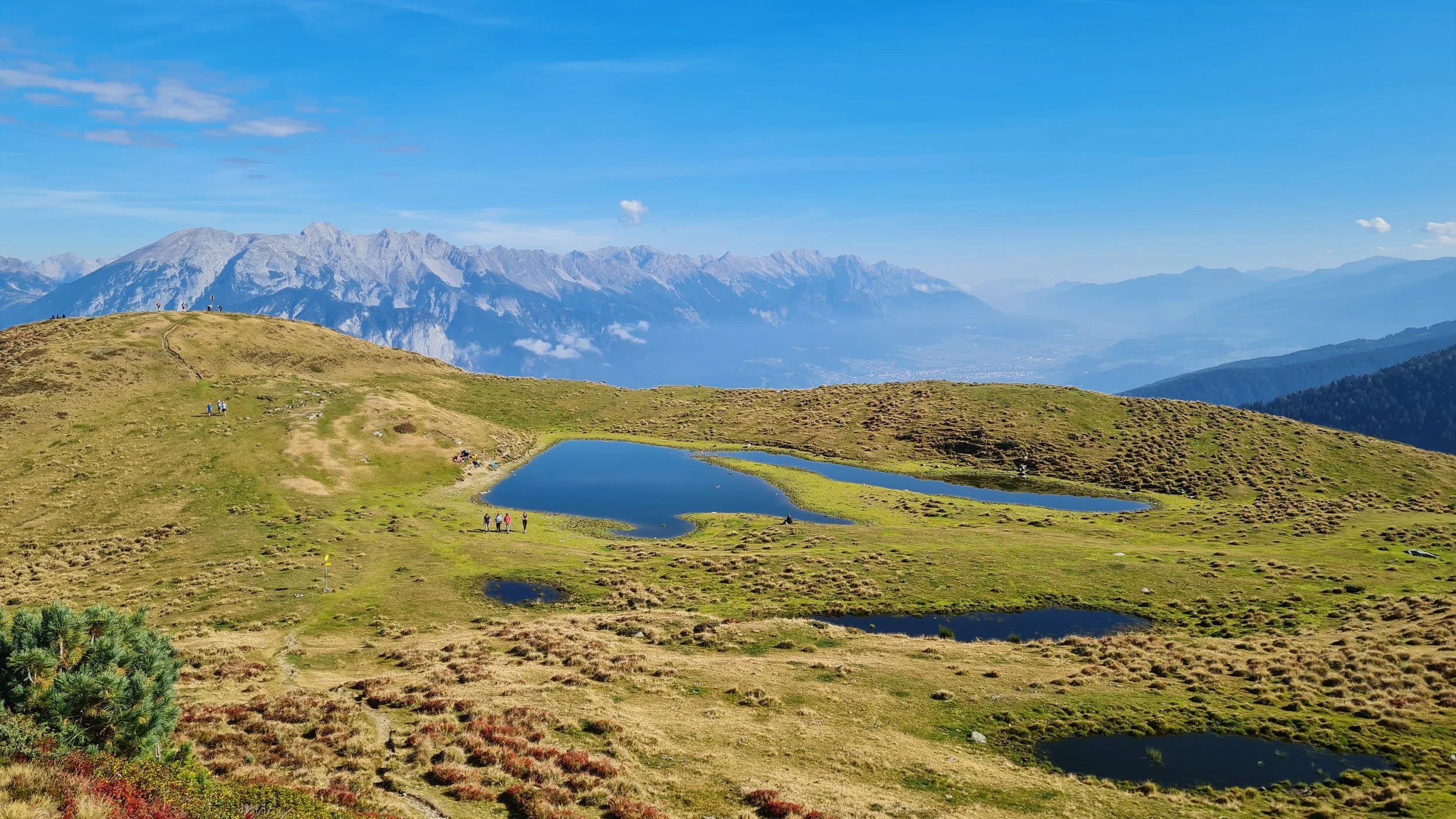
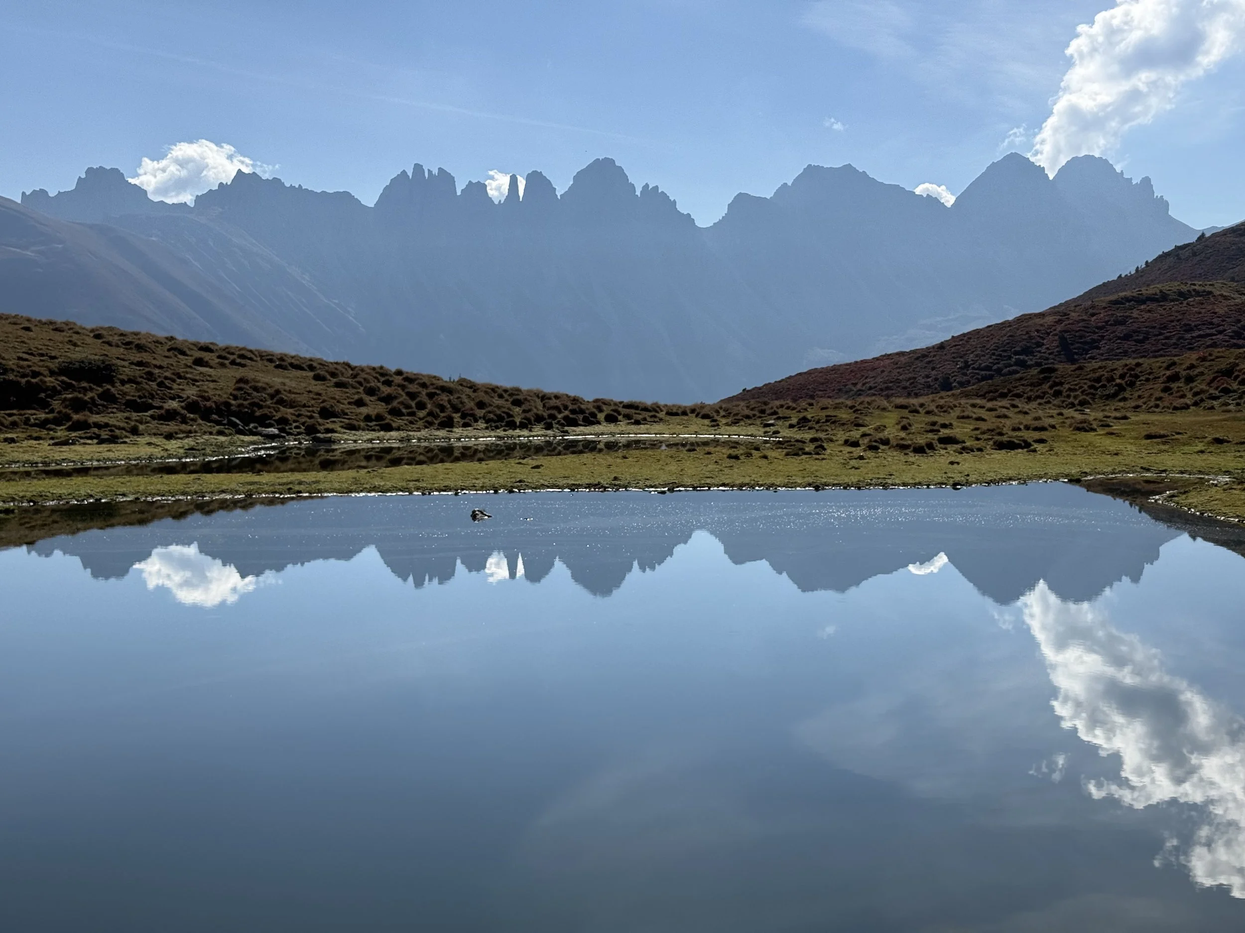
We keep following the trail uphill in the same direction. The forest gets less dense around us and eventually disappears completely. An amazing view east towards Innsbruck and south-east towards Kalkkogel opens up. After about 650 vertical meters, we reach an Insta-famous lake at Salfeins. This spot is really famous for the characteristic reflection of the Kalkkogel ridge on windless days and attracts many people. The good news is, this is where most people turn around.
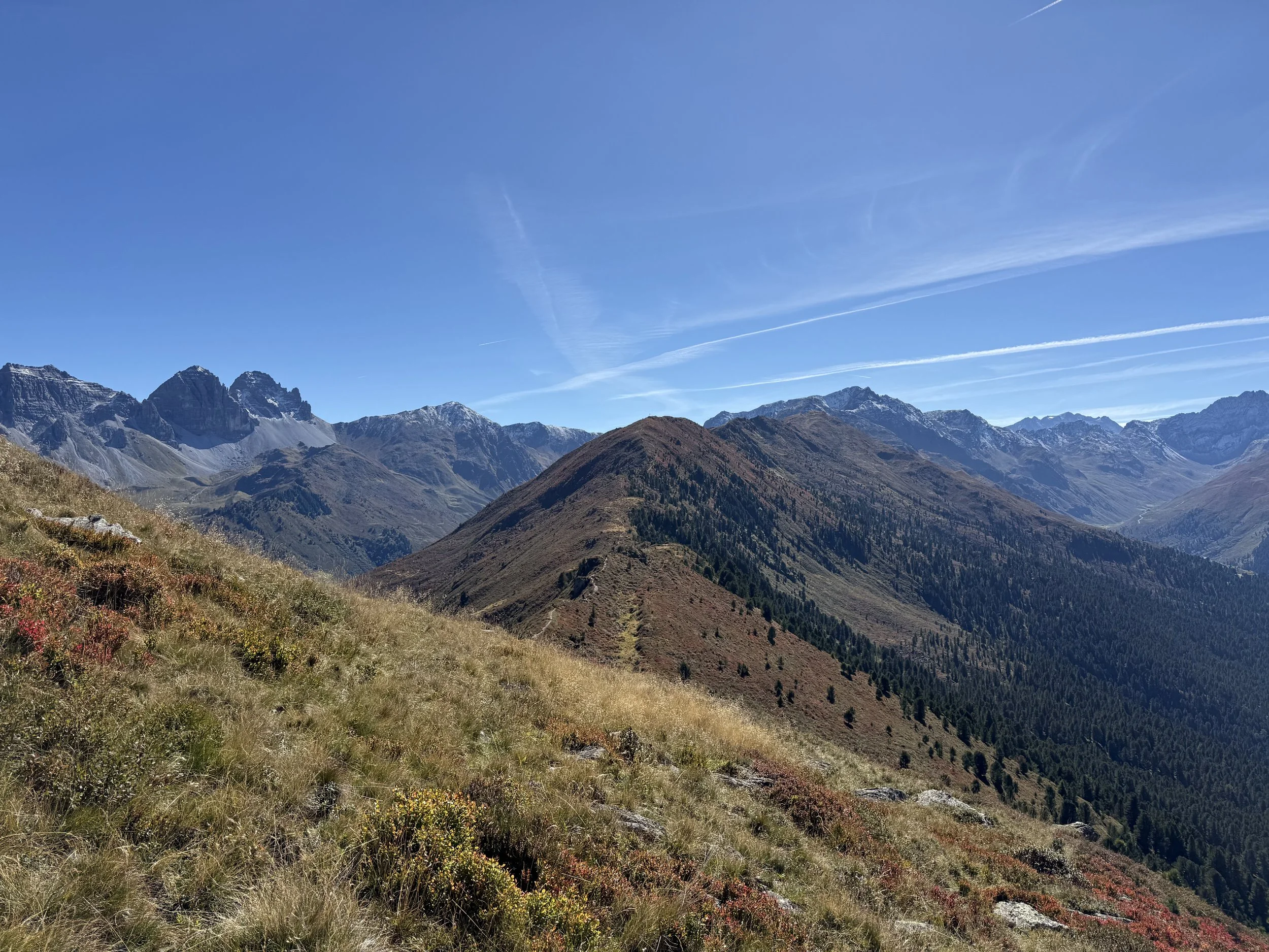
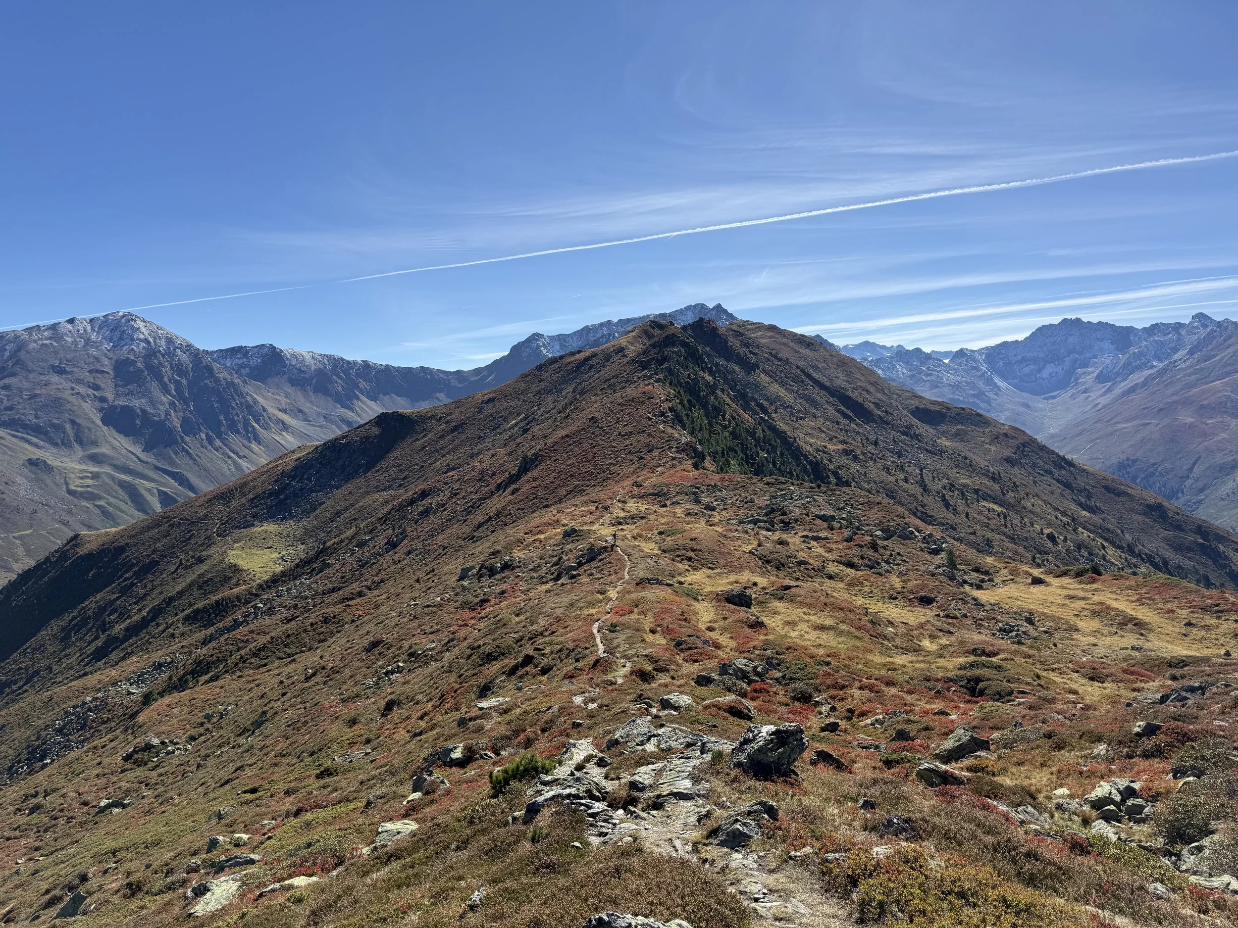
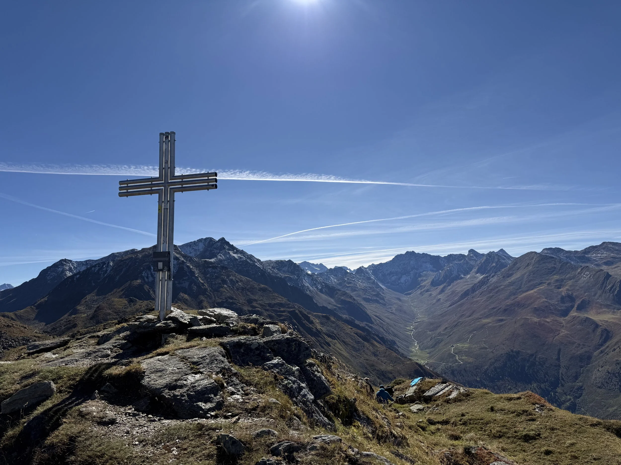
We continue to the ridge line (an old dead tree is a good waypoint). Great view opens up also to the west side of the ridge and our trail is clearly visible in front of us. We turn southwards and follow a well-marked trail on the ridge towards the summit of Grieskogel (2158m) clearly visible in front of us. Once at the summit, the whole length of the ridge opens up in front of us and it is all ours for the taking.
We continue along the ridge. The navigation is easy, the trails are flowy. We pass the summits of Breitschwemmkogel (2260m), Angerbergkopf (2380m) and Schaflegerkogel (2400m) before a short technical descent leads us to a saddle at Kreuzjöchl. Here the trail splits up and we take the one heading east towards the river and a forest road visible down in the valley. The descent is steep but pleasant.
Once at the forest road, the running gets easy and fast. We follow the forest road out of the valley, running parallel to the river. About half-way through, we pass by the Kemater Alm - a great place to have some food or drink in an amazing scenery and Kalkkogel as a backdrop. All that is left afterwards is a few kilometers down the road or the adjacent trail back to the parking lot.
Pro-Tip: This is a great round for a later start. The view of the Kalkkogel ridge is better in evening light.
Photos by @the.running.nomad and @bennibru