Trails / Kaunertal
Kaunertal Panowamaweg
8 November 2026 · Lukas Toma
- Length
- 30.1 km
- Vertical
- 2400 m
- Start
- Wenns Matzlewaldaccessible by bus
- Finish
- Feichten im Kaunertalalso accessible by bus
- Speed
- mostly very runnable trails with very few exposed sections
Falderkopf summit, a traverse above Kaunertal, and a torchlit tunnel through the mountain.
The route
We start off running from the bus stop at Wenns, mostly up a forest road southeast through zigzags, steeply uphill. The forest road sometimes turns into a faint trail that’s hard to find, so we recommend following the GPS in these sections. Eventually, after about 650 to 700 vertical meters, we get to a private hut at Kielebergalm.
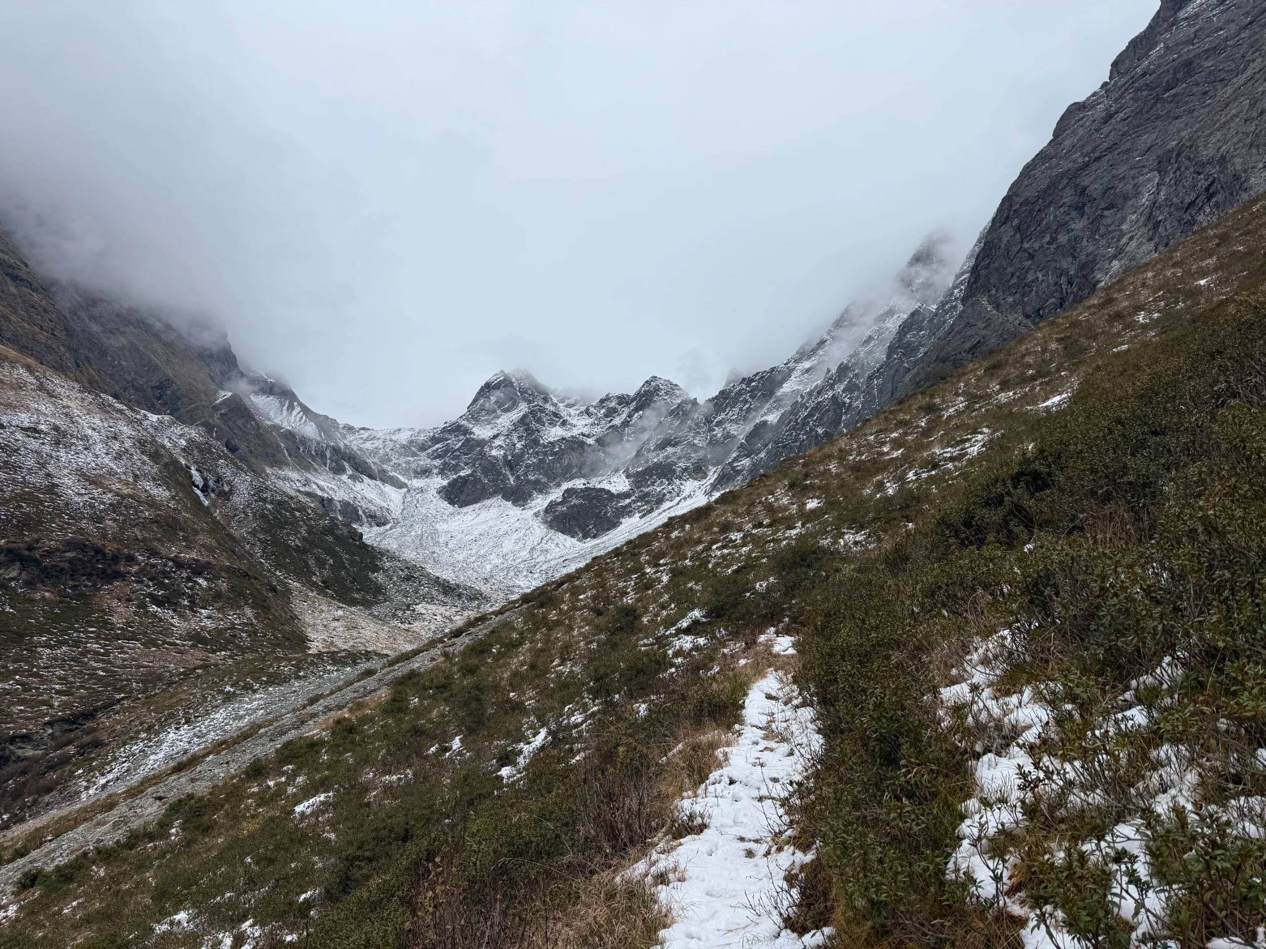
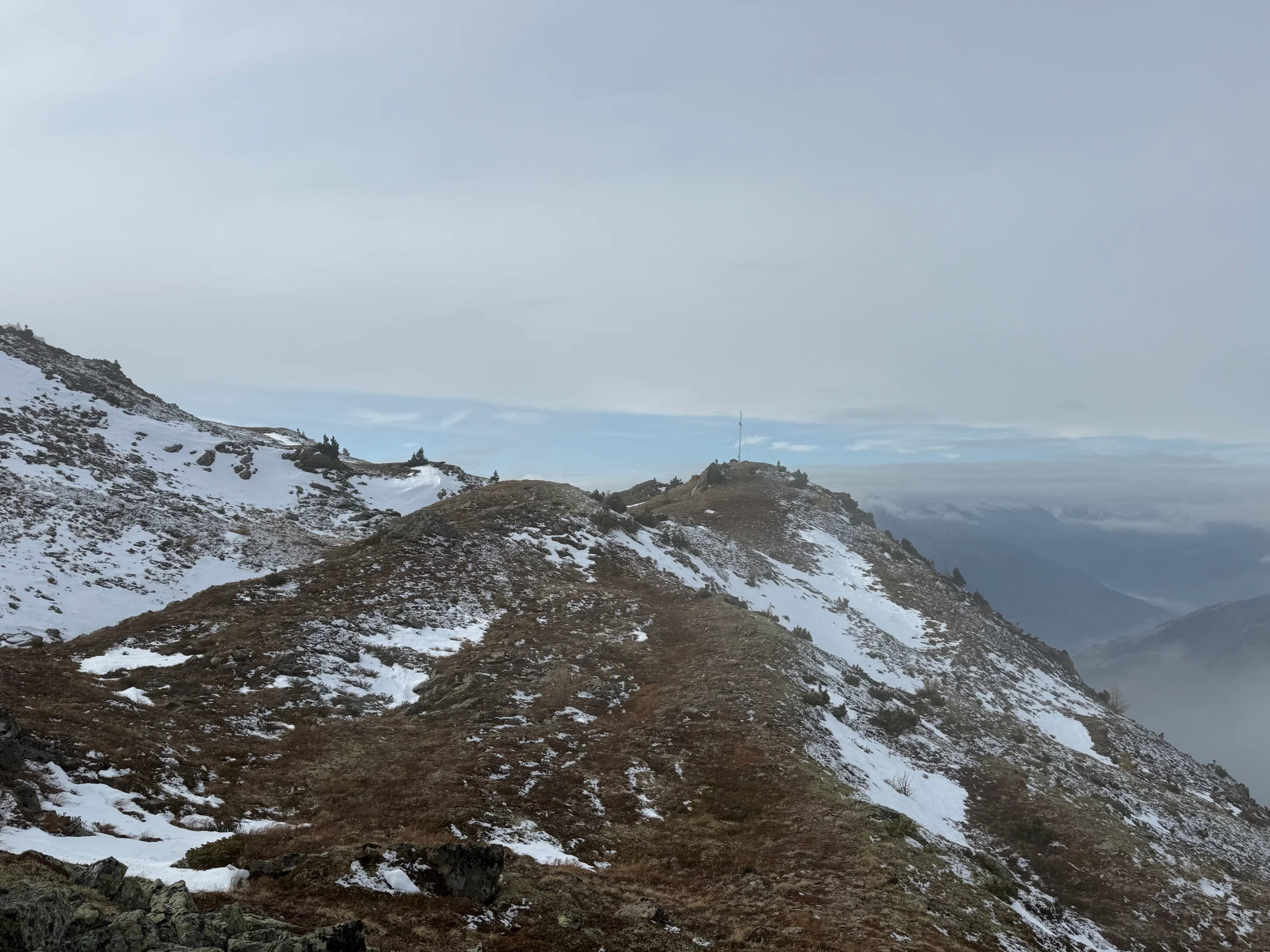
From here we leave the forest roads behind and start to continue uphill on a small trail. The trail is not very well marked and is also not very often traveled, so follow the GPS when necessary. We continue east and then turn south, climbing steeply up the ridge through the forest and eventually out of the forest until we reach the summit of Falderkopf (2332m).
Here we can enjoy the first downhill of the day. We continue south on the west flank of the mountain side, traversing the mountain side and slowly descending until the turnoff of the hiking trail to Kreuzjöchel leaves to the left.
We don’t take this trail and continue through the bowl all the way to the other side until we pass another turn-off that goes to Aifnerspitze. The side quest through Kreuzjöchel and Aifner Spitze is well worth doing, but not great in the snowy conditions.
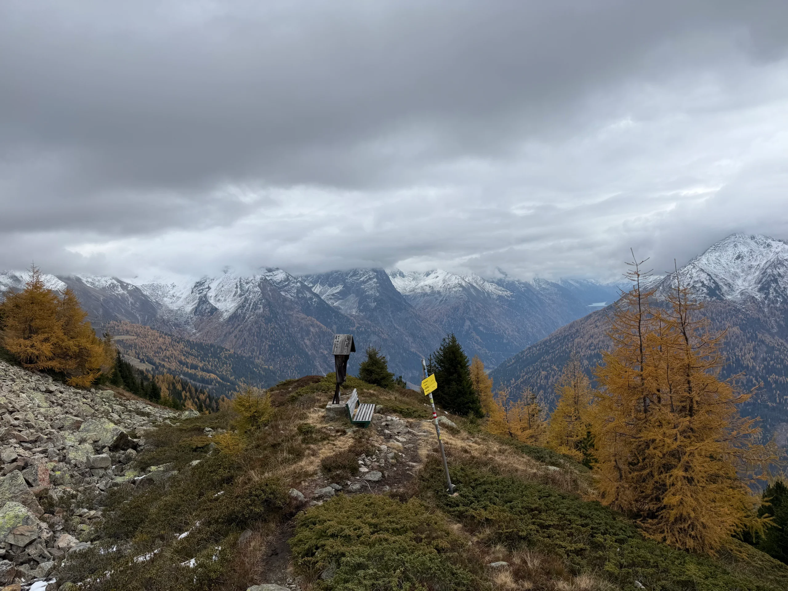
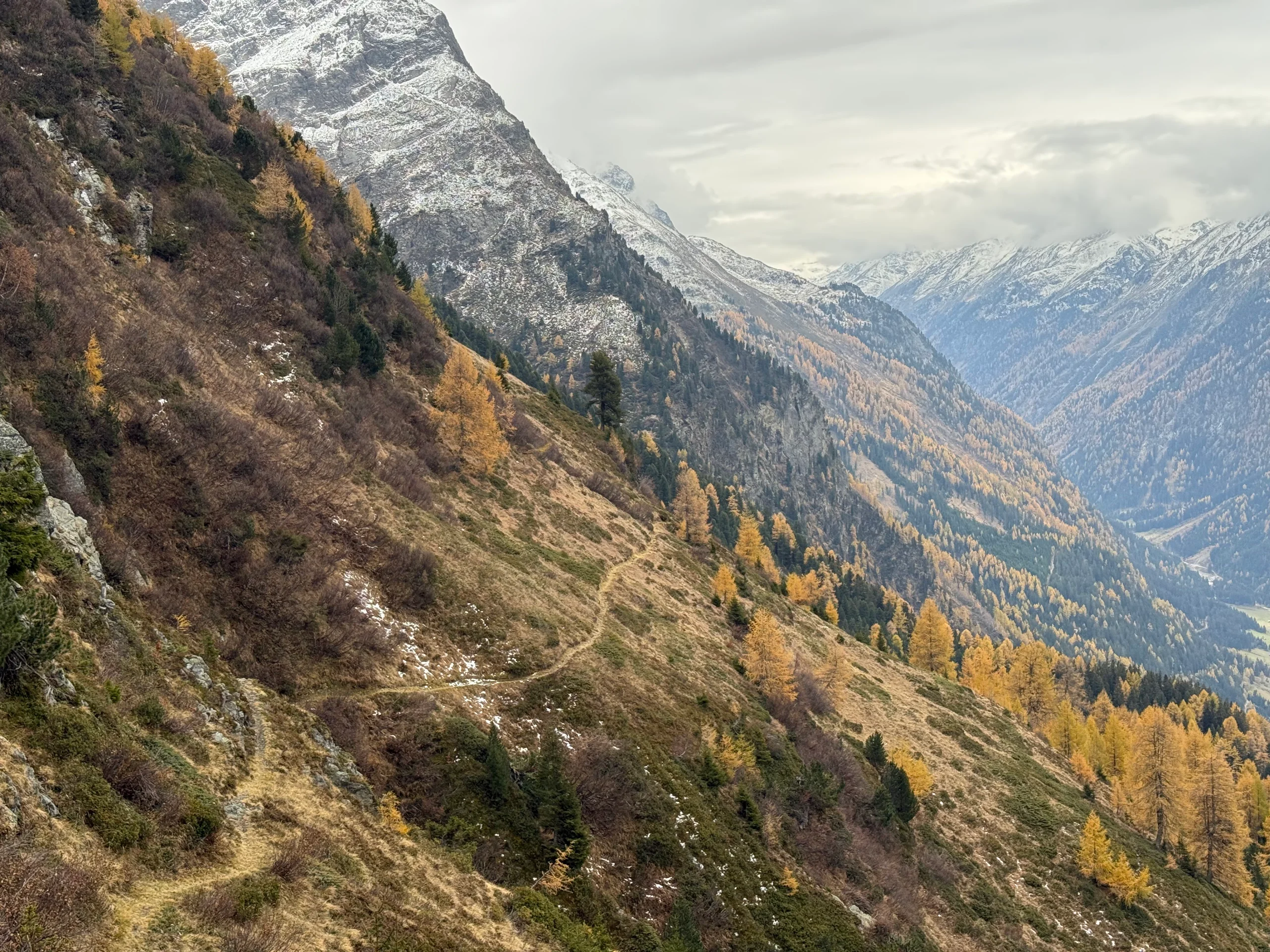
We continue on the trail downhill southwestward until we reach a hut at Aifner Alm. Here we join the Kaunertal Panoramaweg. The trail is a beautiful single track full of rolling hills that is heading southeast and that we can keep following until we reach the next hut at Falkauns Alm.
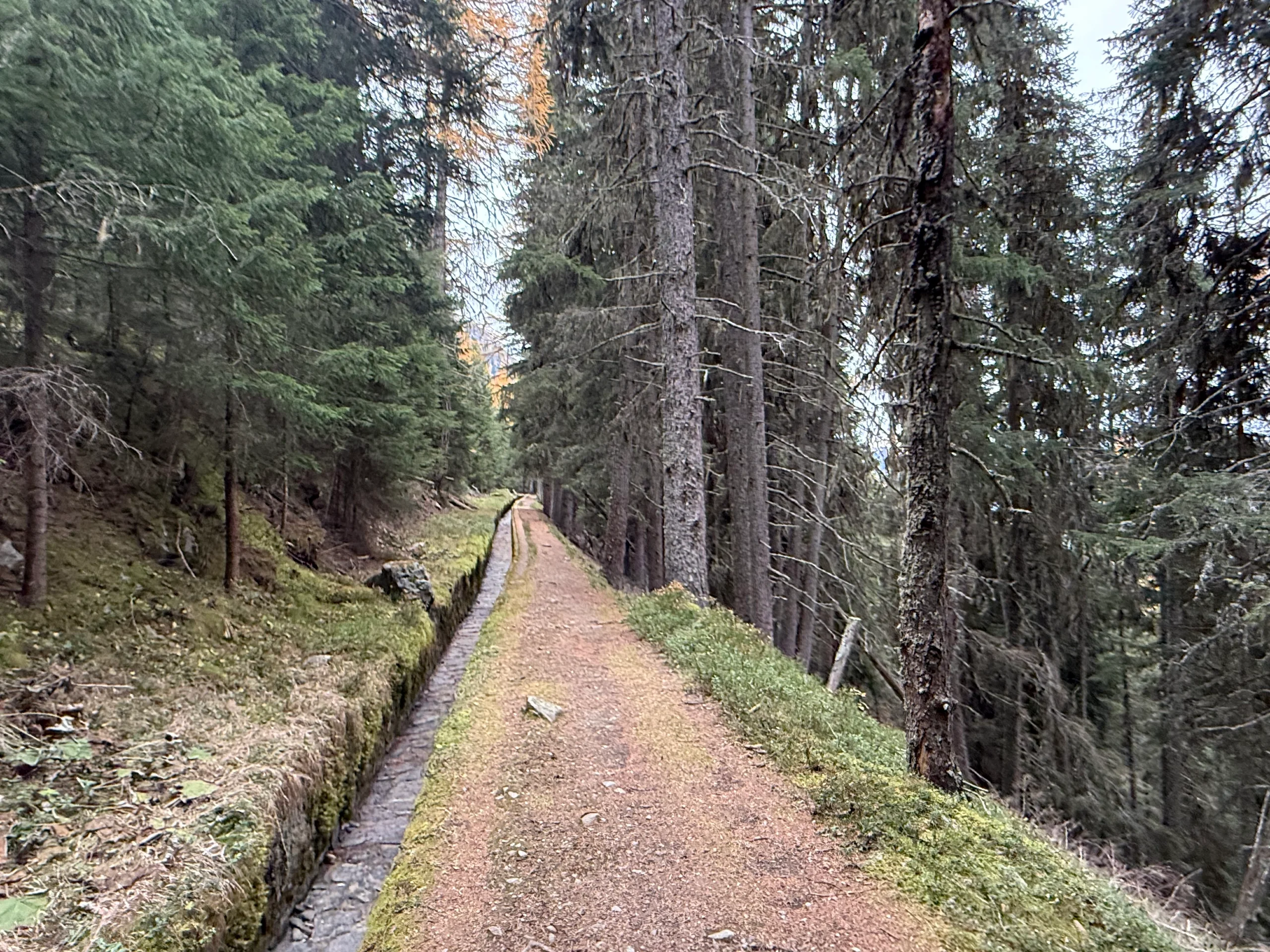
We have two options from here. We can stick to the high trail or take the more interesting route through a long tunnel. GPS follows the latter. From the Falkauns Alm, follow the forest road down for a couple of turns before joining another trail at Kaunerberger Wasserweg, which follows an old irrigation channel all the way to the tunnel that we talked about.
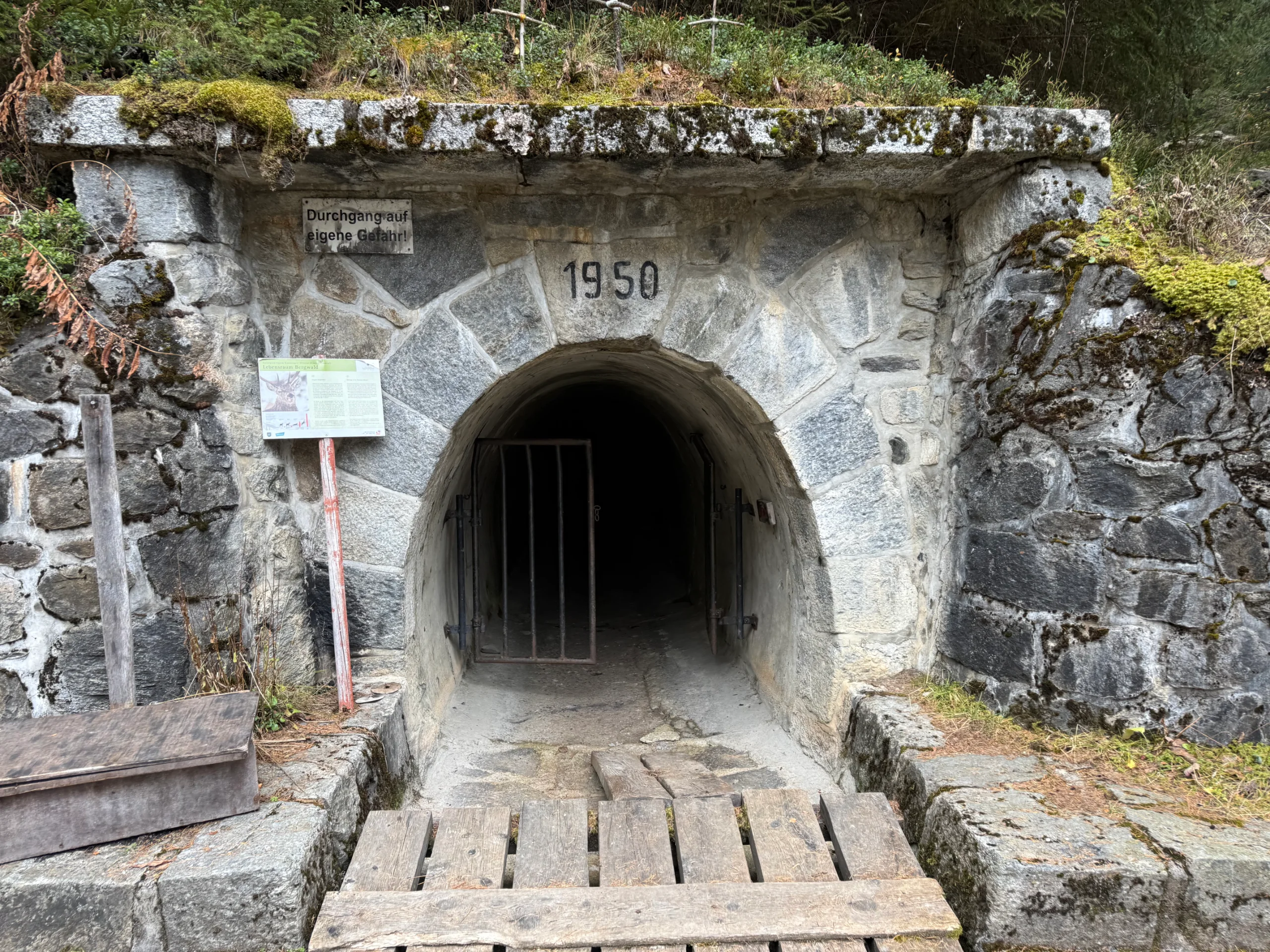
The tunnel - Gallruttstollen - is one of the highlights of the route. It follows the waterway that we have followed until now and leads underground for over one kilometer. It’s quite low and narrow in places, so watch your head and bring a head torch to cross safely.
After the tunnel, we follow the waterway for a while longer until the Gallruthalm. The trail gets a little narrow and a little more technical from here.
It continues along the mountain side on a rolling terrain, but both the uphills and the downhills are a bit bigger. We pass another valley with some small private huts, before tackling the last uphill climbing towards the north-western ridge of Schweikert.
From here it is all downhill. First we enjoy a technical but runnable downhill down to Verpeialm. From there, there are multiple options, all very runnable and at a gentle slope. Great for stretching your gate and enjoying some speed on the way down to the finish at Feichten.
Photos by@the.running.nomad