

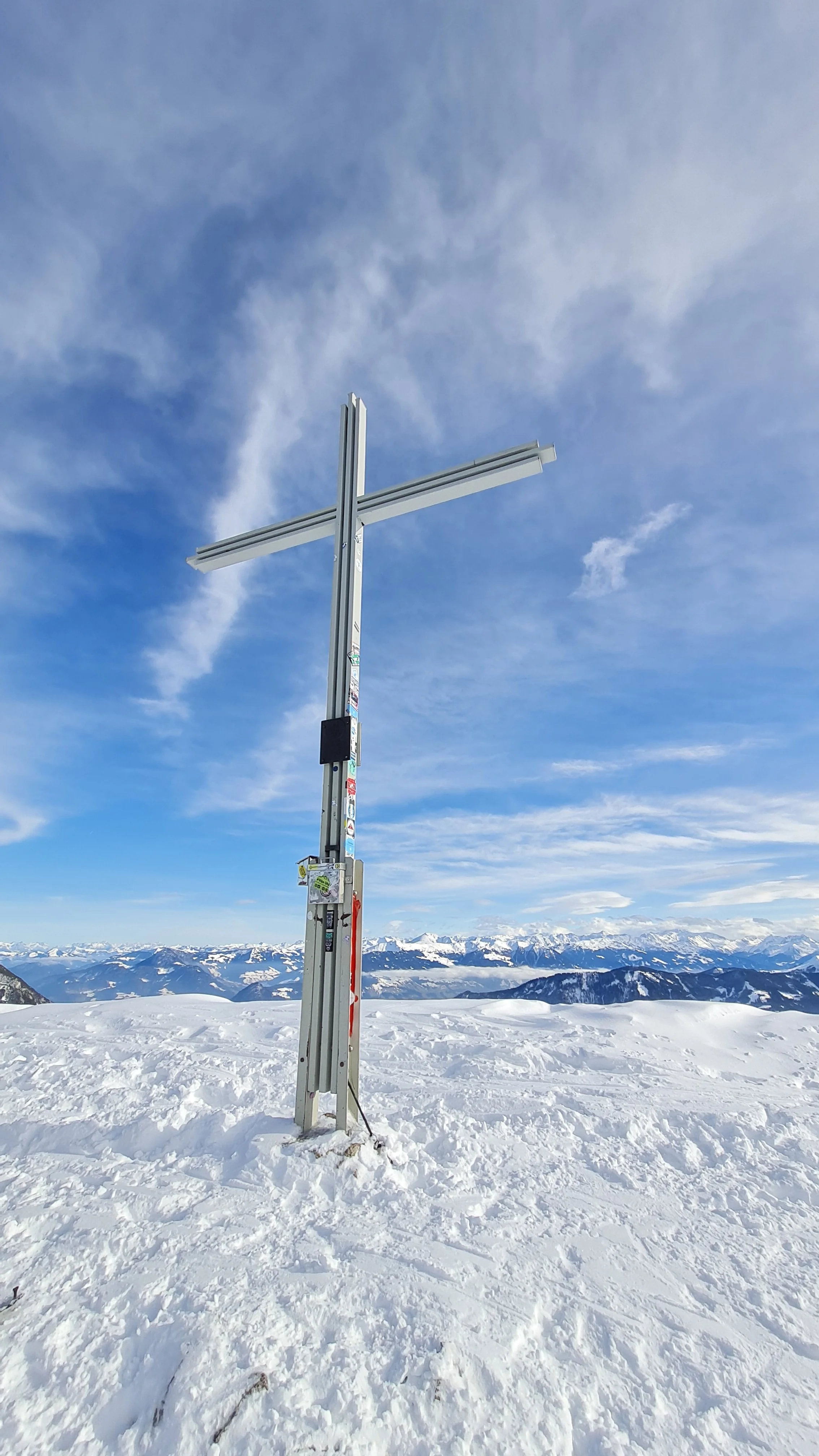
Ochsenkopf (2148 m) and Bärenkopf (1991 m) from Pertisau

Technical difficulty: 5/10
Fitness: 6/10
Objective danger: 5/10
Landscape: 7/10
Busy: 4/10
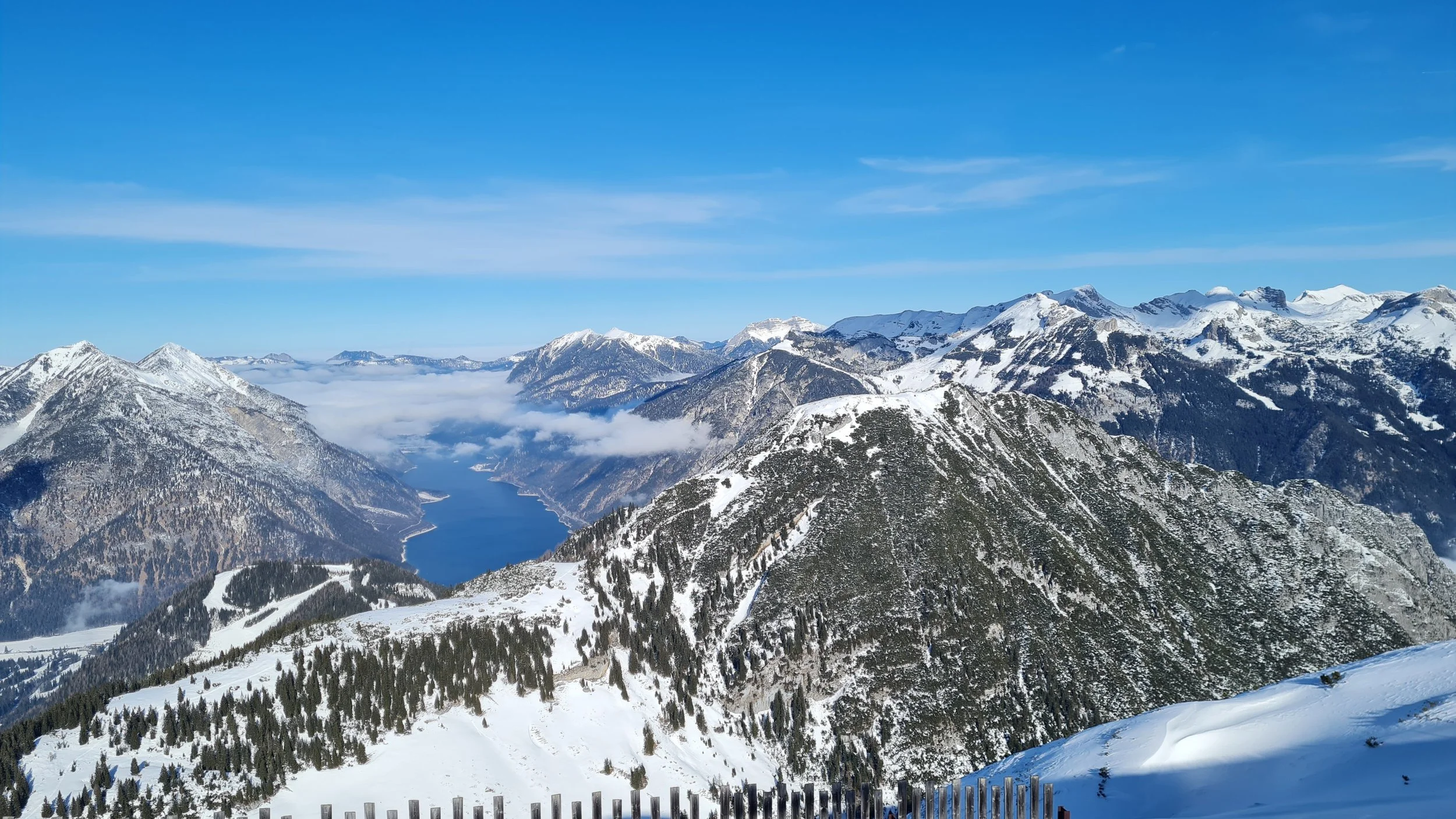
An exciting loop starting right at Lake Achensee.
guest post by @bennibru
Starting point: Parking near Hotel Hubertus
Ending point: Parking near Hotel Hubertus
Ascend: 1900vm / 5h
Exposition: mostly north-east
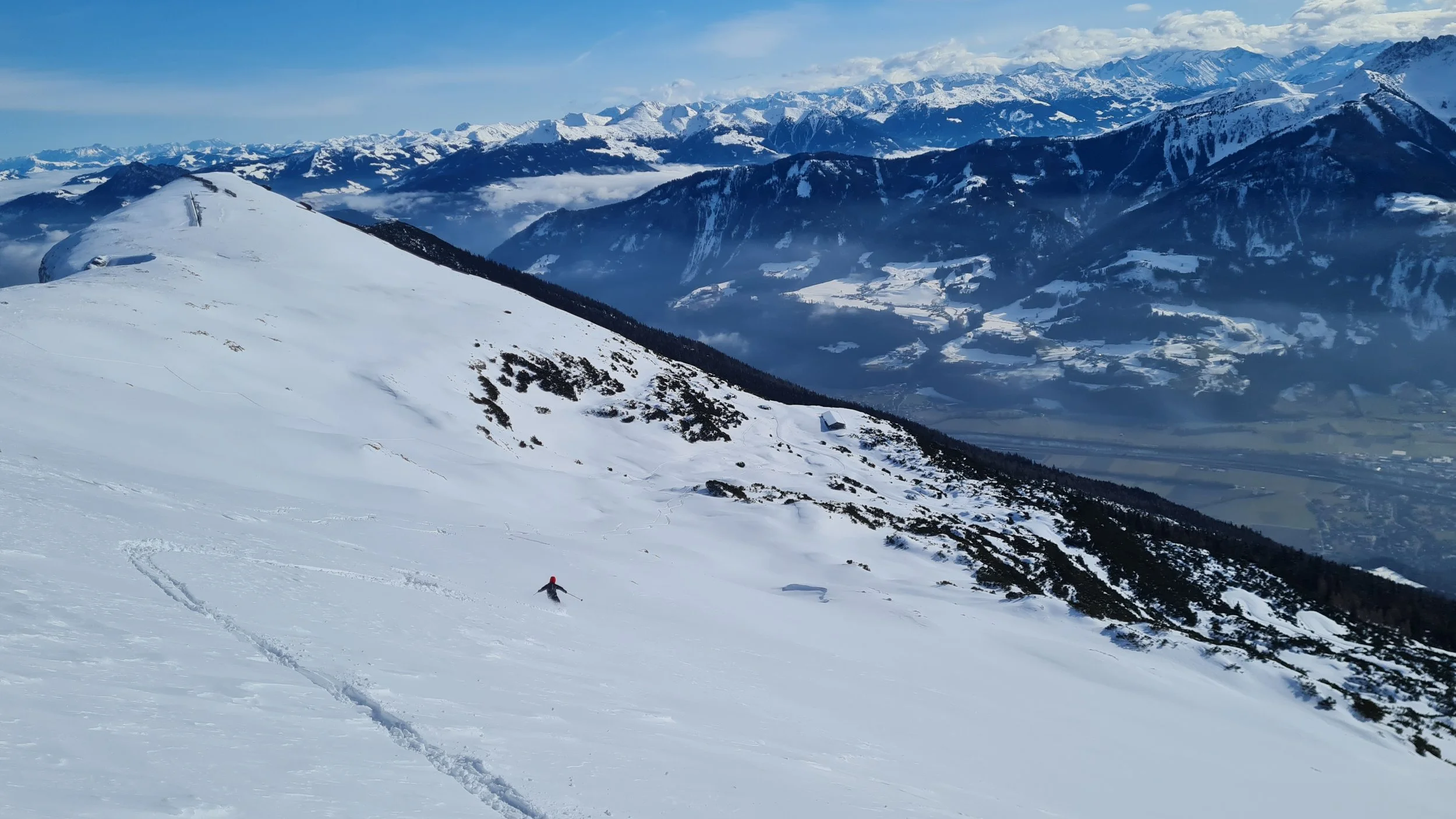
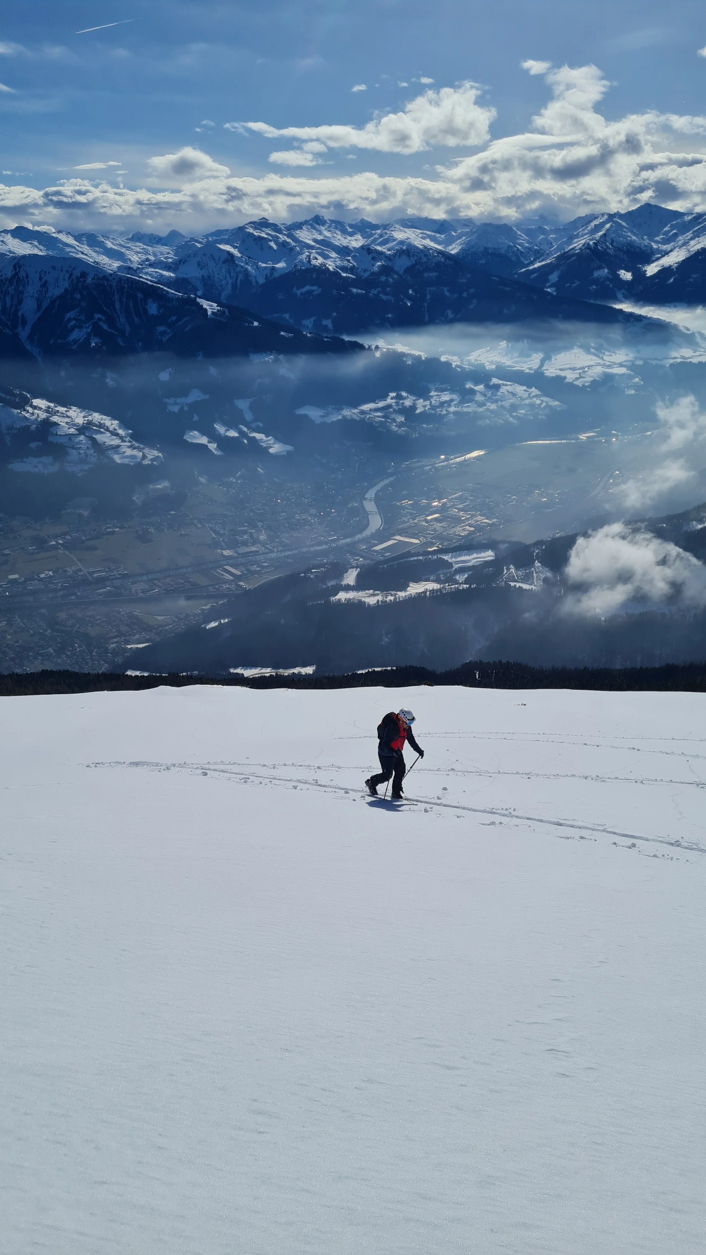
The ski tour to Bärenkopf (bear’s head) is popular for its outstanding views down to Lake Achensee. But despite parts of the route following groomed pistes, it is not a technically easy outing. We prefer to include the Bärenkopf in a larger loop that first visits the Ochsenkopf (ox’ head, also known as Seierjoch), located to the southwest. As a bonus, we also tag the Stanser Joch.
Route:
Ascent to Ochsenkopf
We start at the paid parking lot near Hotel Hubertus, ascending via a piste-like forest clearing. At the first forest road crossing, we can either follow the left-hand side along the forest clearing or take a narrower connector to the right. Both options eventually lead to the steep piste below the Zwölferkopf, which we follow up to the Bärenbadalm (option to shortcut after the steep section).
From the Bärenbadalm, we traverse south across flatter terrain, bypassing both the summer trail to the Bärenkopf and the usual descent gully. Staying on the path through the woods, we face some challenging, often icy and steep sidehill sections that require surefootedness.
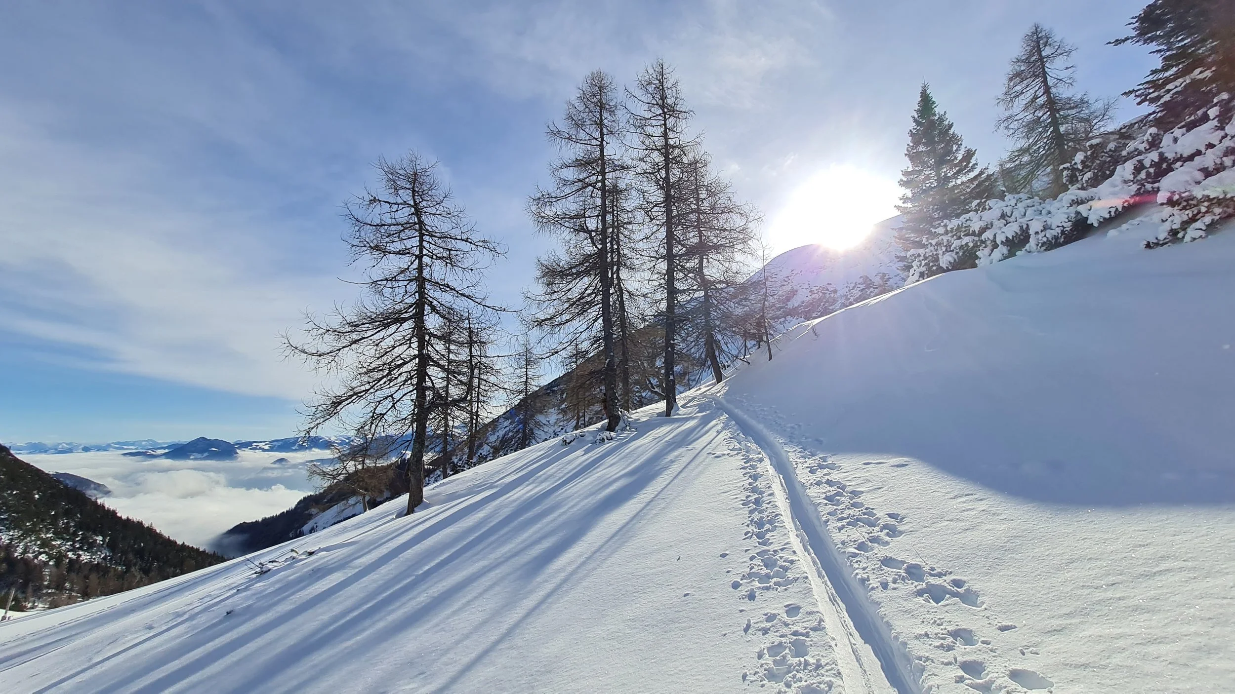
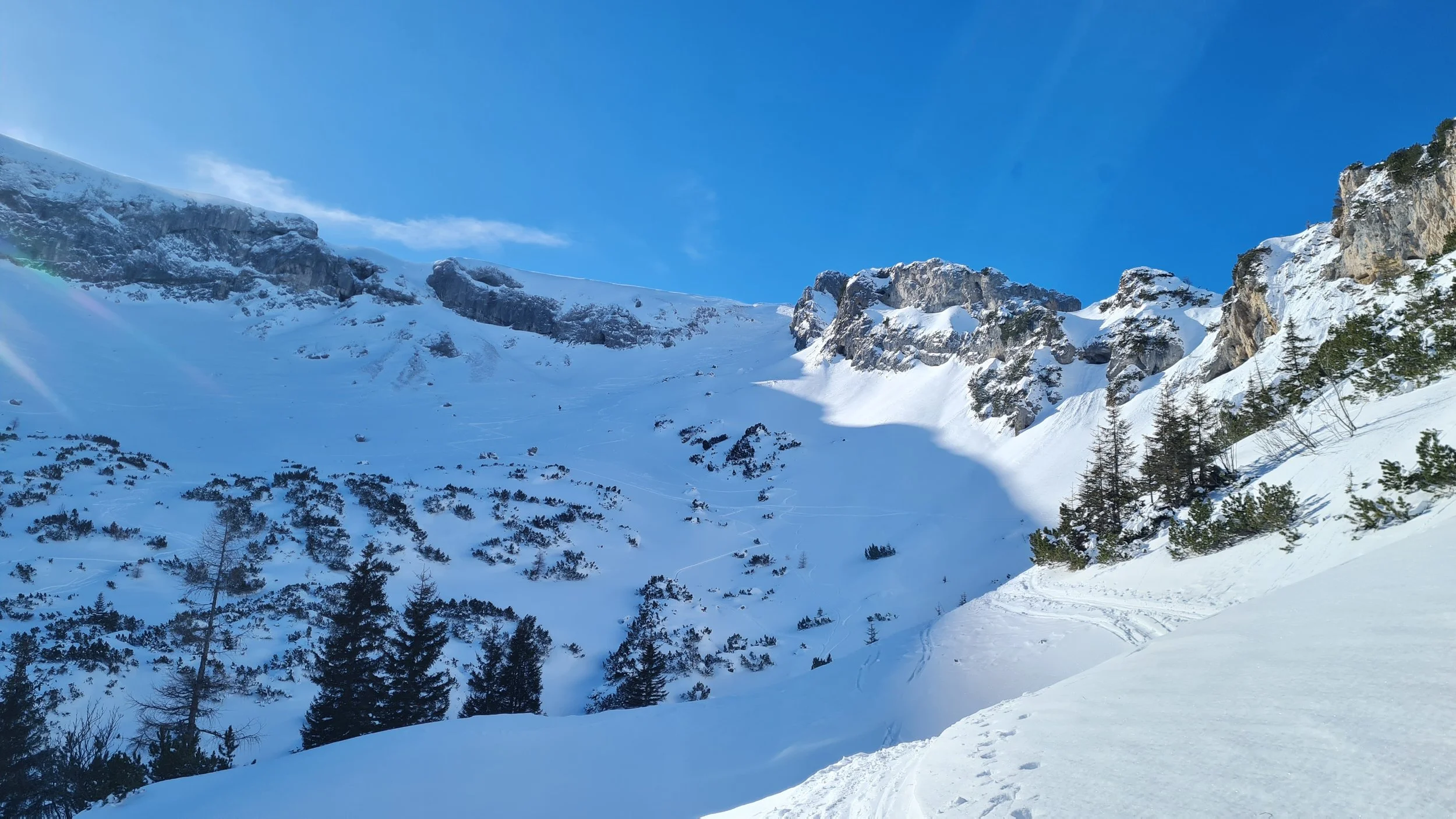
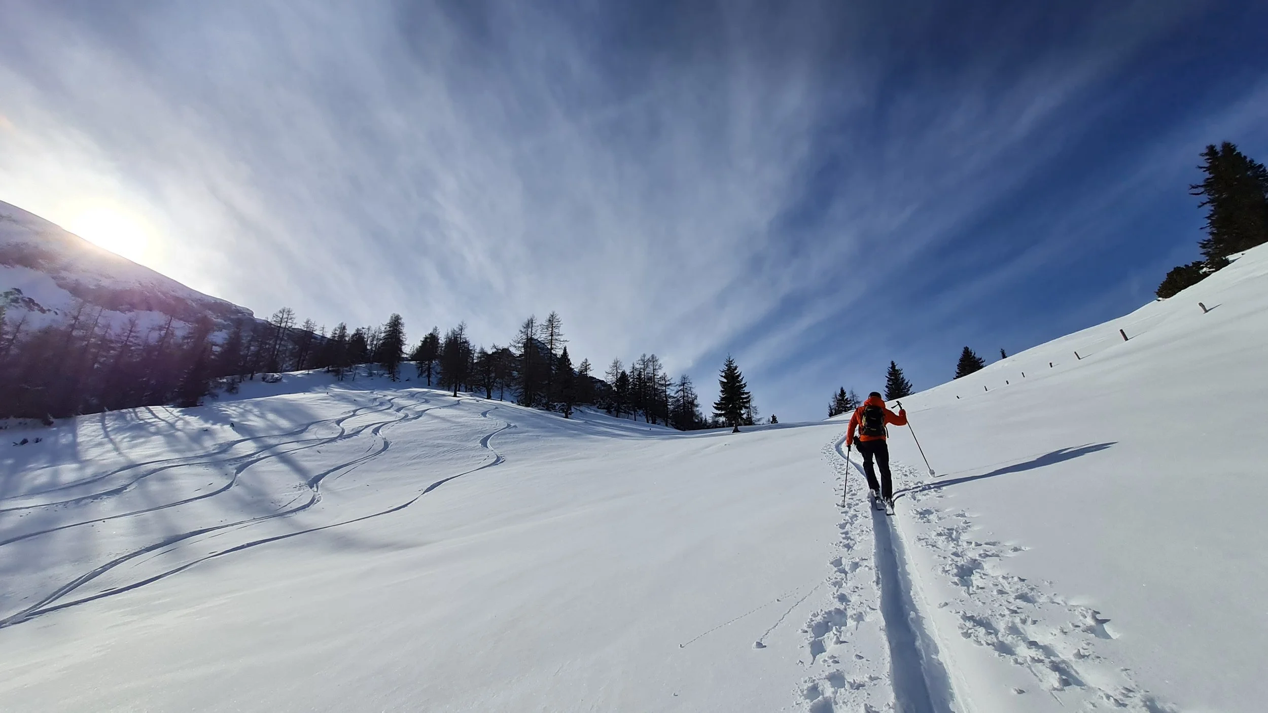
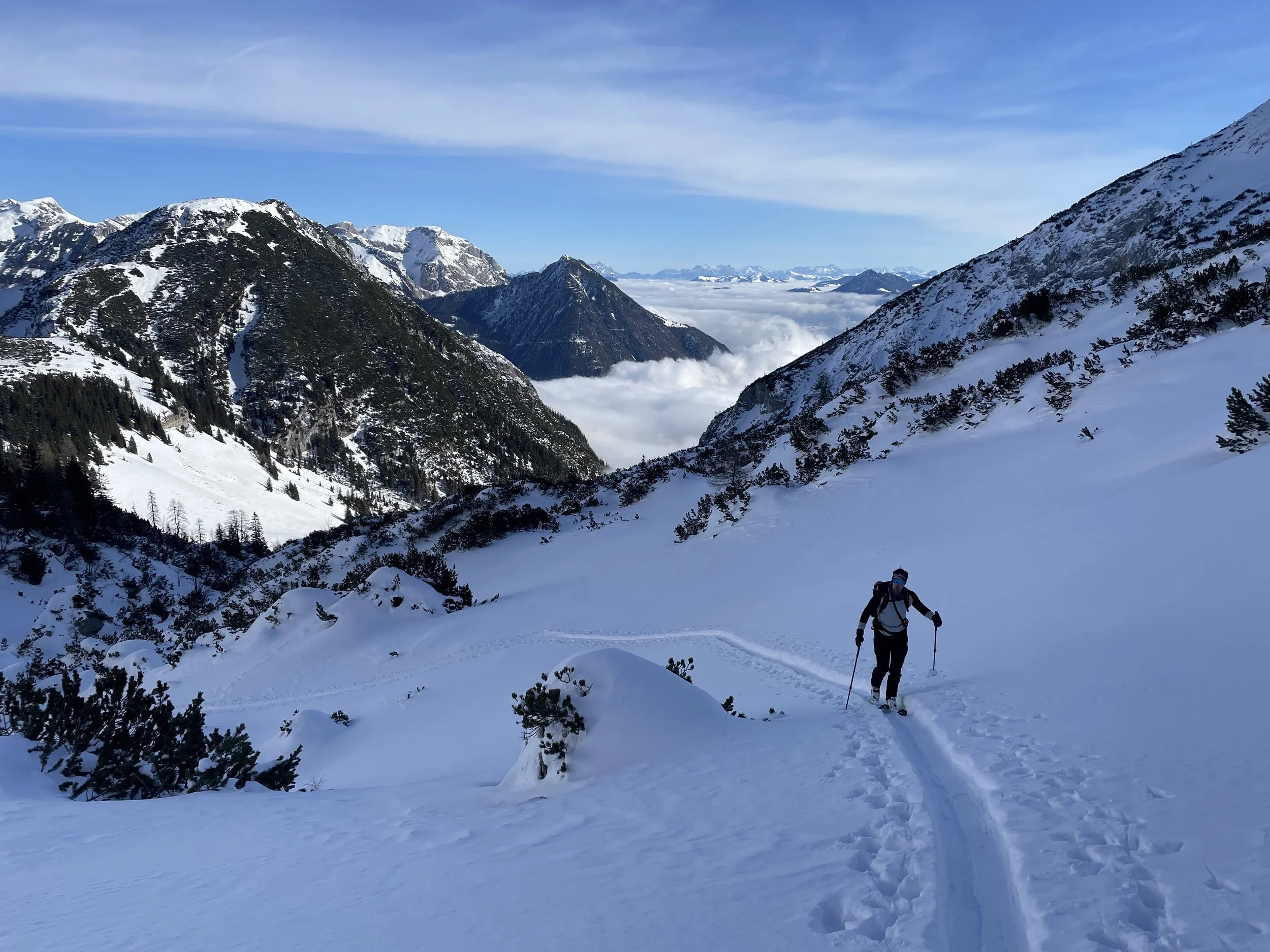
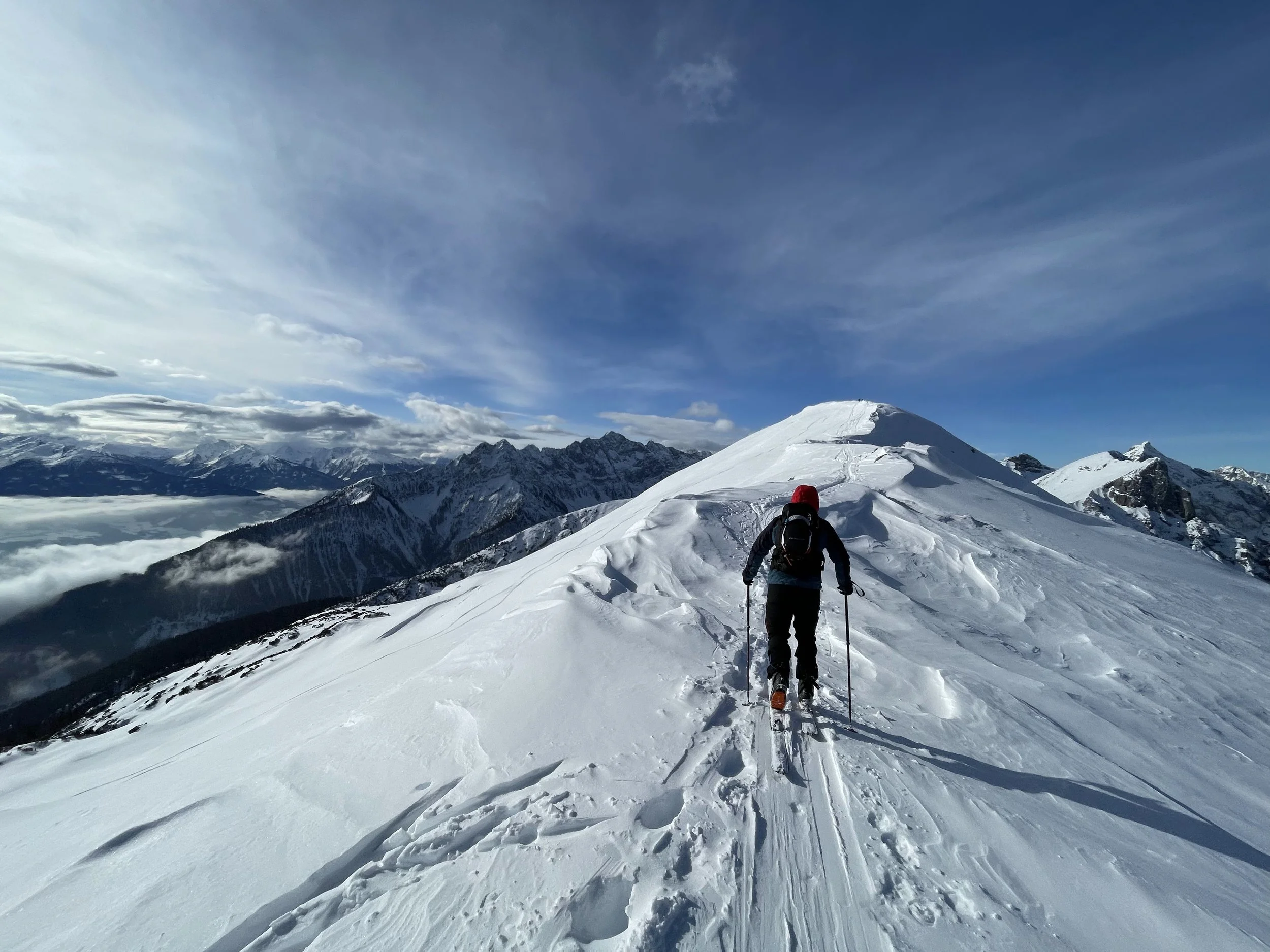
At around 1700 m, we finally reach open terrain at the Weißenbachsattel – the scenic part of the tour begins here. Above the alpine pasture, we ascend through sparse forest, then traverse left into the Weißenbachkar. Roughly 300 vertical meters lead us up through this classic northeast-facing bowl, where avalanche conditions must be carefully assessed due to increasing steepness. At the top, we may need to step over a small cornice before arriving on a broad, flat ridge extending east from the Stanser Joch. Many end the ascent here, but we continue westward along the ridge to the summit of the Ochsenkopf (2148 m).
The views from here are rewarding: Rappenspitze, Lamsenspitze, and the entire Tux Alps to the south invite further adventures.
Optional: Stanser Alm and Stanser Joch
If the snowpack is favorable on south-facing slopes, it’s possible to descend via open, moderately steep terrain southeastward to the Stanser Alm Hochleger at 1950 m. From there, it’s a 150 m skin up to the Stanser Joch (2102 m). The return to the Weißenbachkar is very flat, so skins are recommended. With sufficient snow, a direct – and extremely steep – north descent back to the Weißenbachalm could also be considered.
Descent Weißenbachkar
The original ascent route through the forest is not a viable descent. Therefore, we recommend descending the full Weißenbachkar until to the Weißenbachalm (closed in winter). While it’s theoretically possible to follow the valley all the way to Maurach, we opt to return to our starting point via the Bärenkopf.
Ascent to Bärenkopf
So we reapply skins, climb back to the Weißenbachsattel, and follow the summer trail along the initially gentle ridge eastward. A short steeper slope follows, which may be thin on snow due to its sunny exposure. At the top of this section, we reach the Bärenhals. From here, we can traverse left (north) to join the standard descent route.
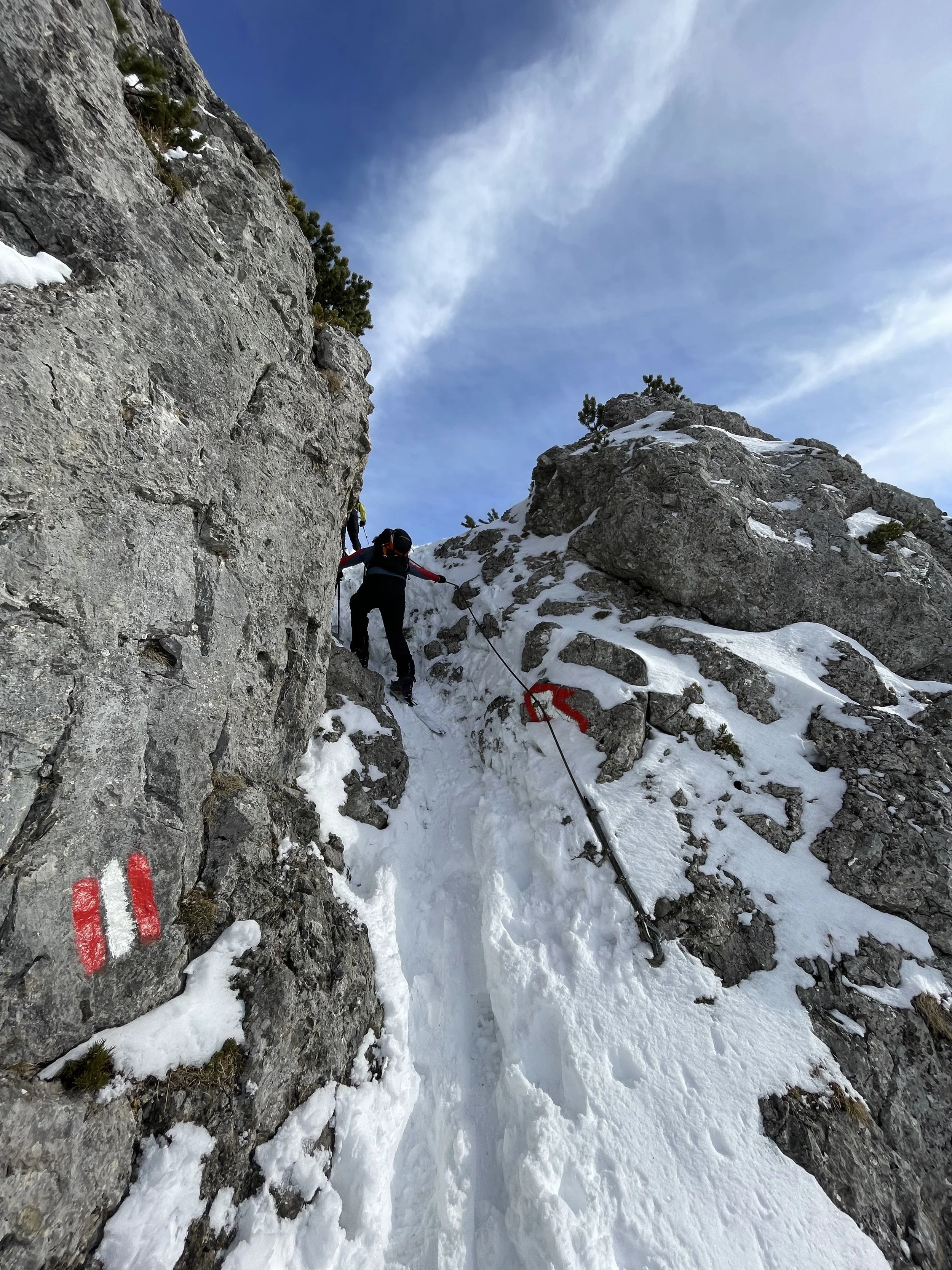
If conditions allow, we continue on the summer path up the western/southern side of the Bärenkopf to the summit (1991 m). Along the way, we cross an airy ledge and a short step (may require skis off), but the final section to the panoramic summit is straightforward.
Descent from Bärenkopf
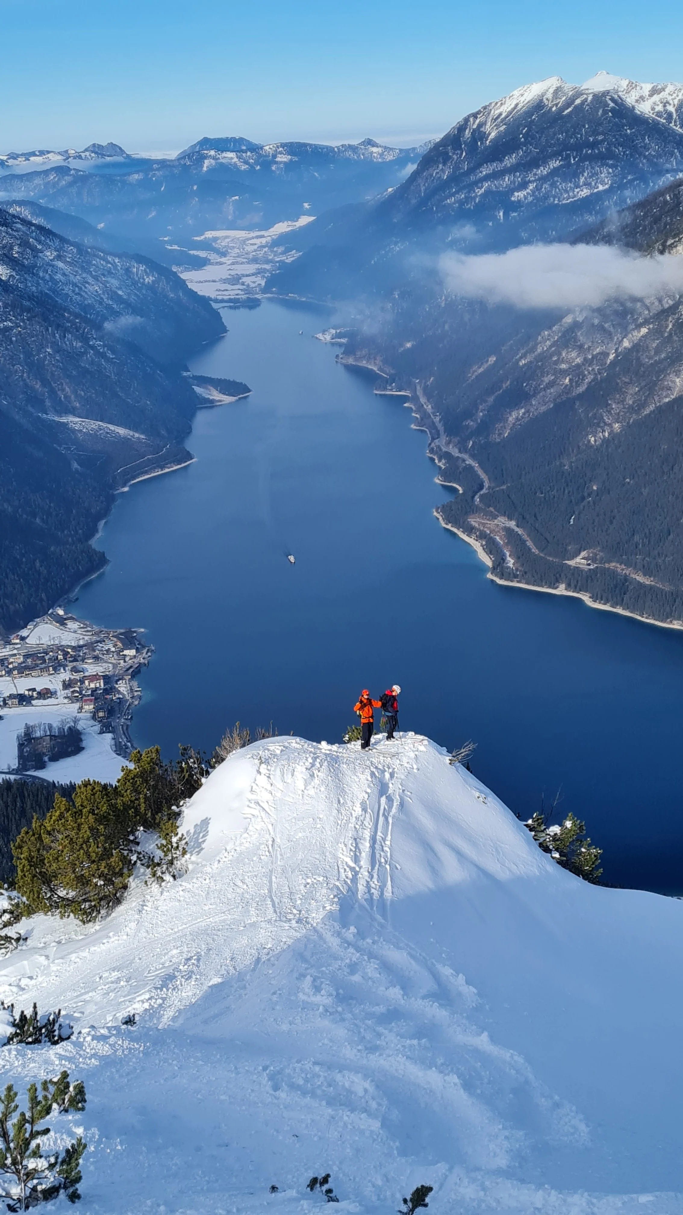
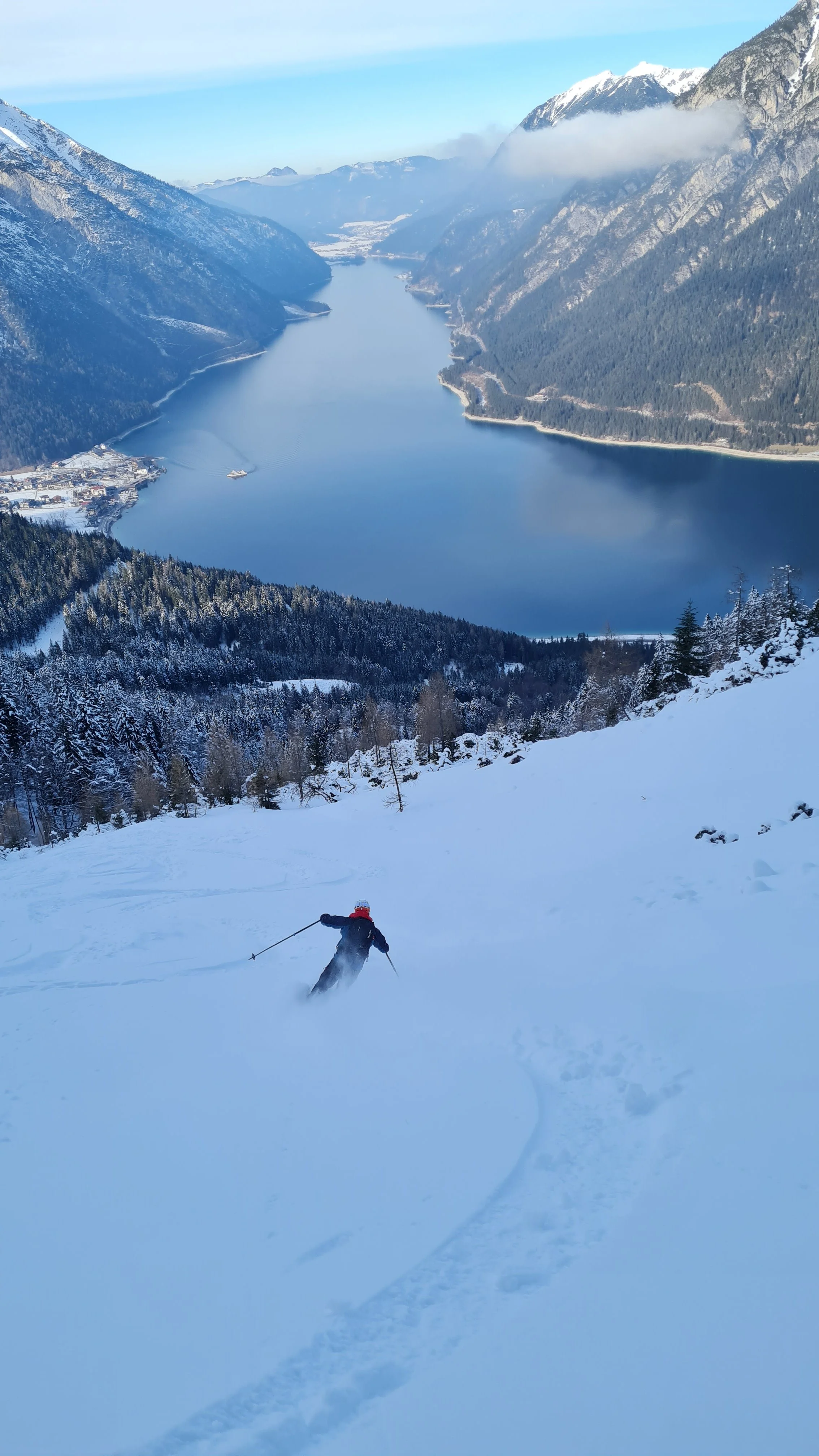
The descent begins with a few flat meters, then typically follows the ascent route along the standard path. Some navigation is required to find your way through dwarf pine terrain, but several spots offer excellent photo opportunities with views over Lake Achensee.
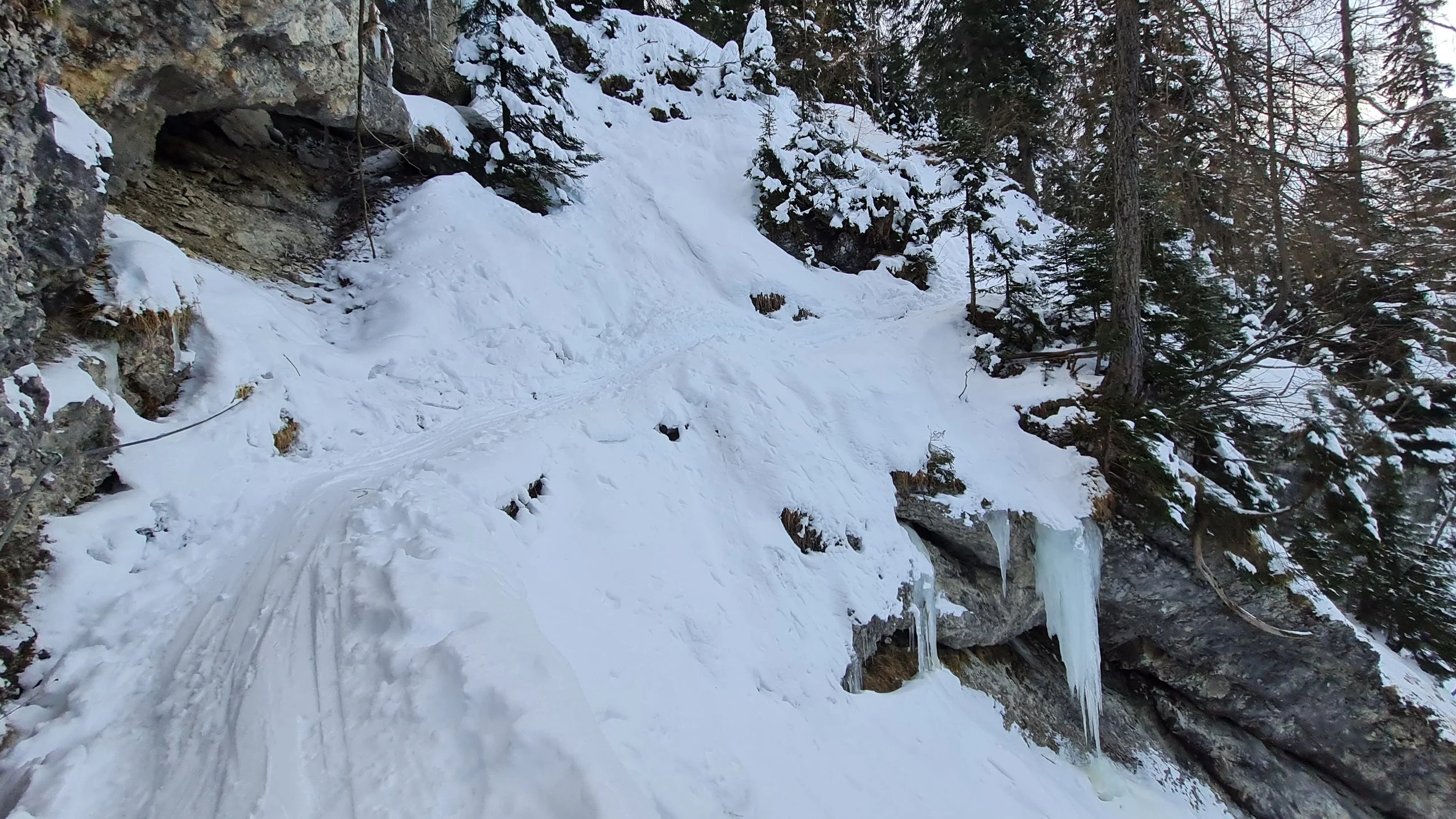
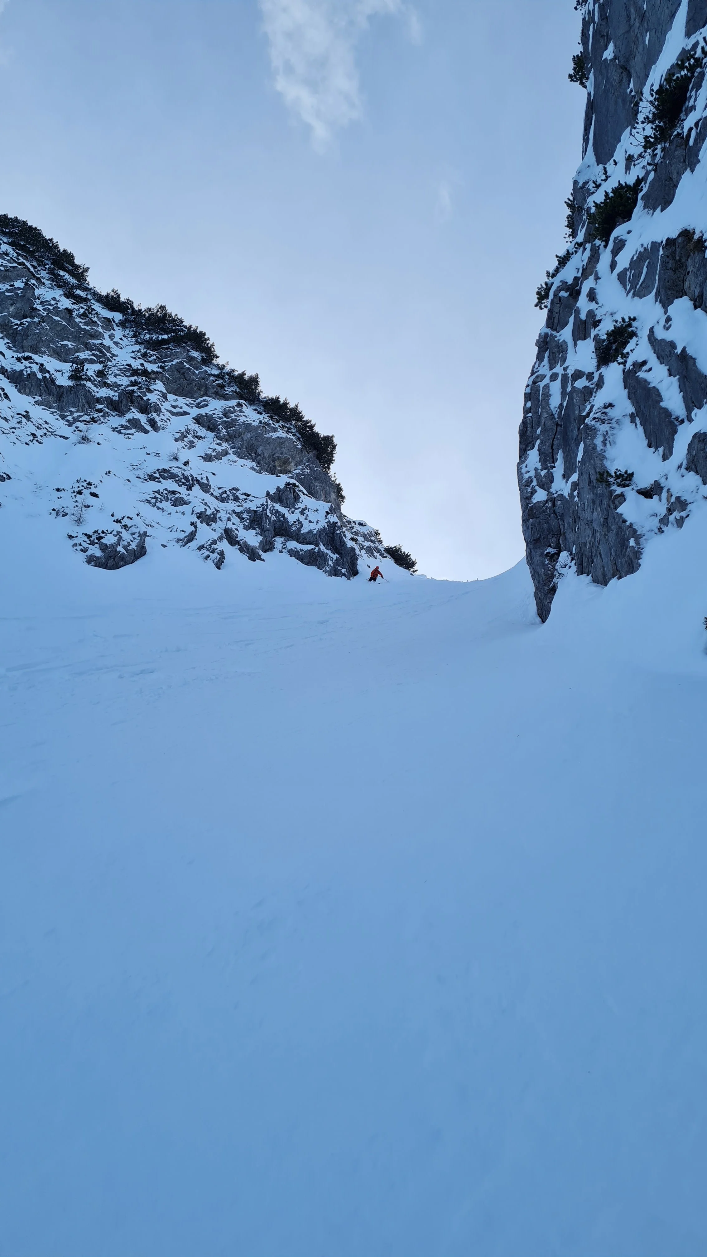
If conditions are safe (otherwise, descend the well-tracked western gully to the Bärenbadalm), the northern bowl of the Bärenkopf is a tempting option with several steep entry points. The higher entries require a deep snowpack to safely negotiate a narrow section. We take the wider entry at around 1850 m – the bowl itself usually offers enough space for powder turns with stunning lake views.
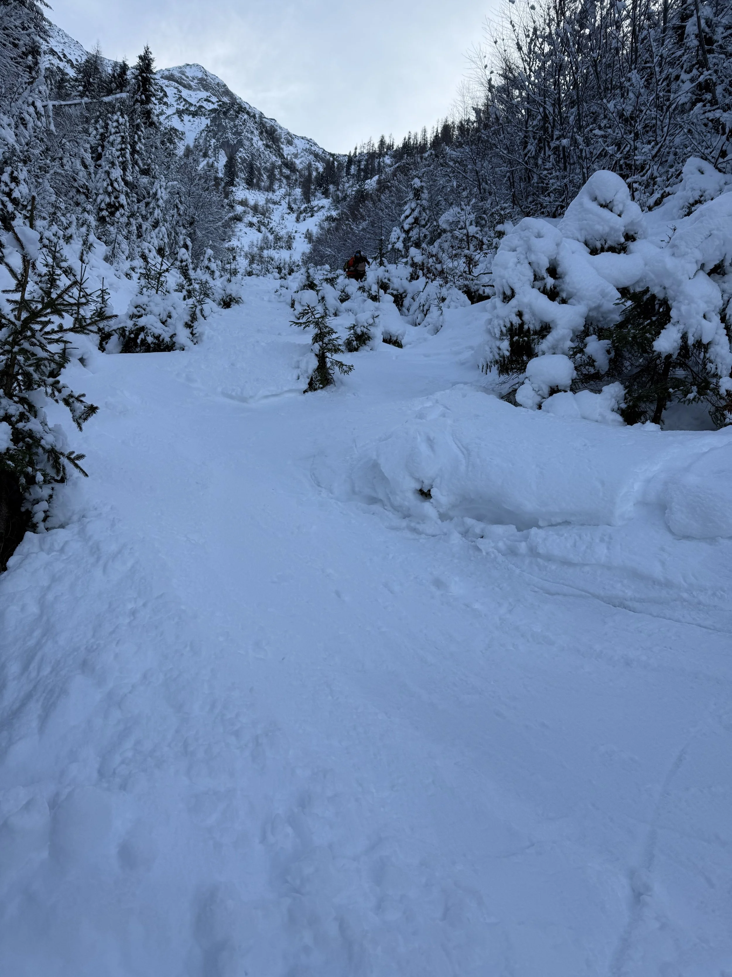
The lower part of the bowl can be more rugged. Careful skiing is needed to exit through the young forest (while respecting vegetation), until a forest road is reached around 1200 m. Follow this road to the right through a switchback, which brings you back to the initial trail junction from the ascent.
Pro Tip: No (open) huts on the way, bring enough supply.
Photos by @the.running.nomad, @bennibru and @max.kober