Schafseiten Round
Technical difficulty: 7/10
Fitness: 7/10
Objective danger: 7/10
Landscape: 7/10
Busy: 1/10
Rarely visited loop with narrow technical trails and great views over Tux and Stubai Alps.
Starting point: Panoramaweg Padastertal Parking
Ending point: Panoramaweg Padastertal Parking
Length: 23km
Vertical: 2000m
Speed: beginning and end very runnable. middle half very narrow and exposed trails.
Route:
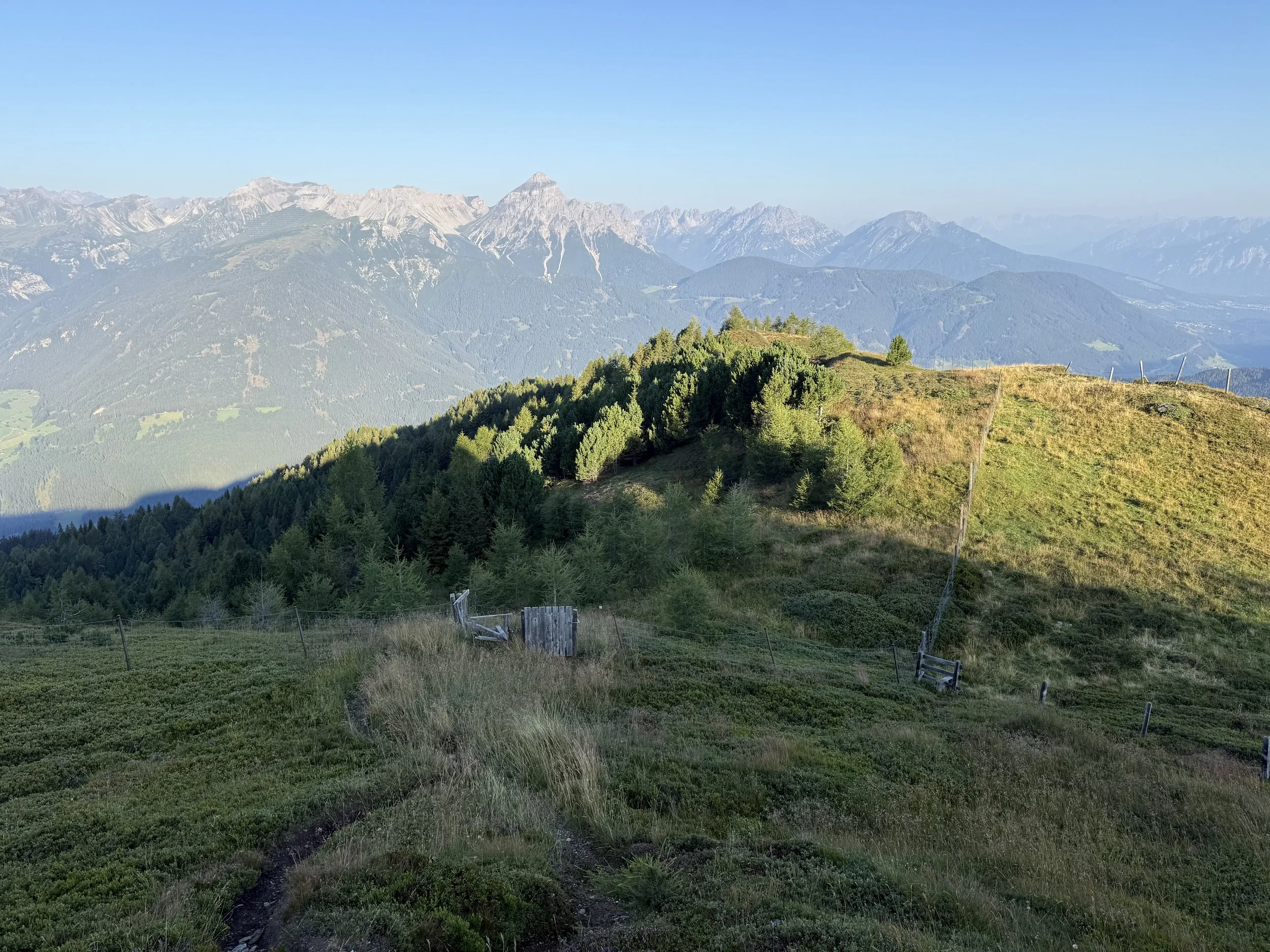
We start out of the village on a road for a few hundred meters until a water source. Here we connect to the “Wipptaler Wanderweg” hiking trail and run on a very pleasant rolling trail for a few kilometers northwards, traversing the mountain side. Eventually we reach a trail cross road and turn off on a trail climbing steeply uphill east.
The trail crosses a forest road many times along the way, but continues to head eastwards and steeply uphill. Eventually we leave the forest and get into alpine pastures, just before passing the first summit along the way - Schröflkogel (2150m). We continue along the ridge east, the trail becoming gradually less obvious, until reaching the next summit of Bendelstein (2436m).
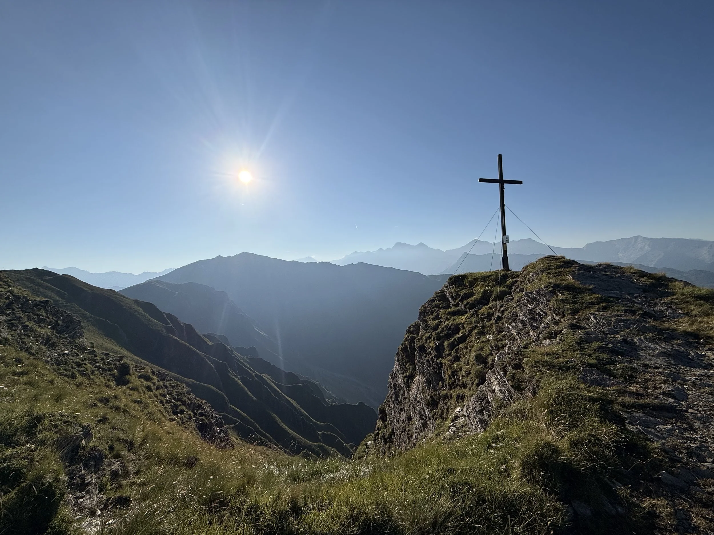
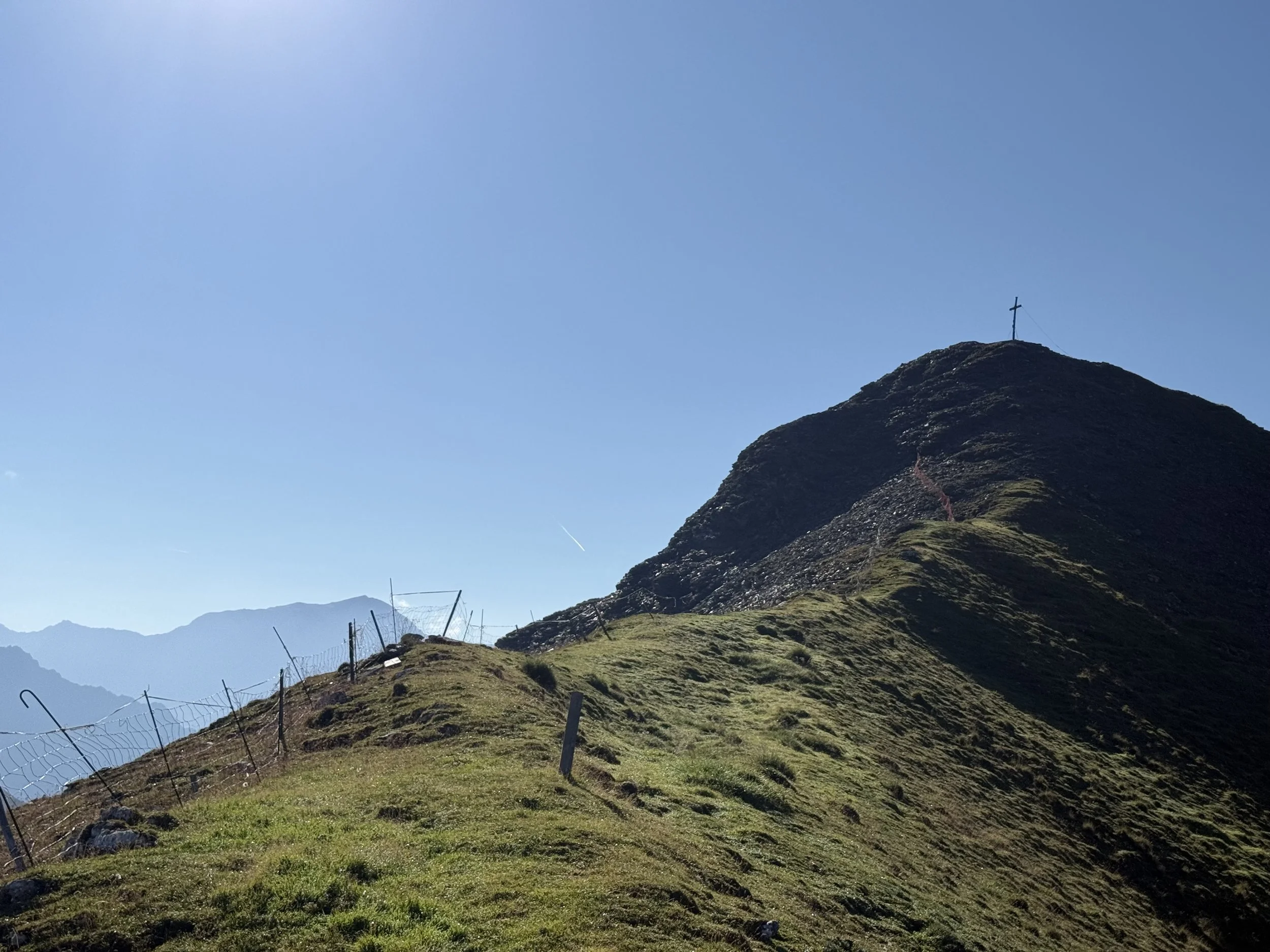
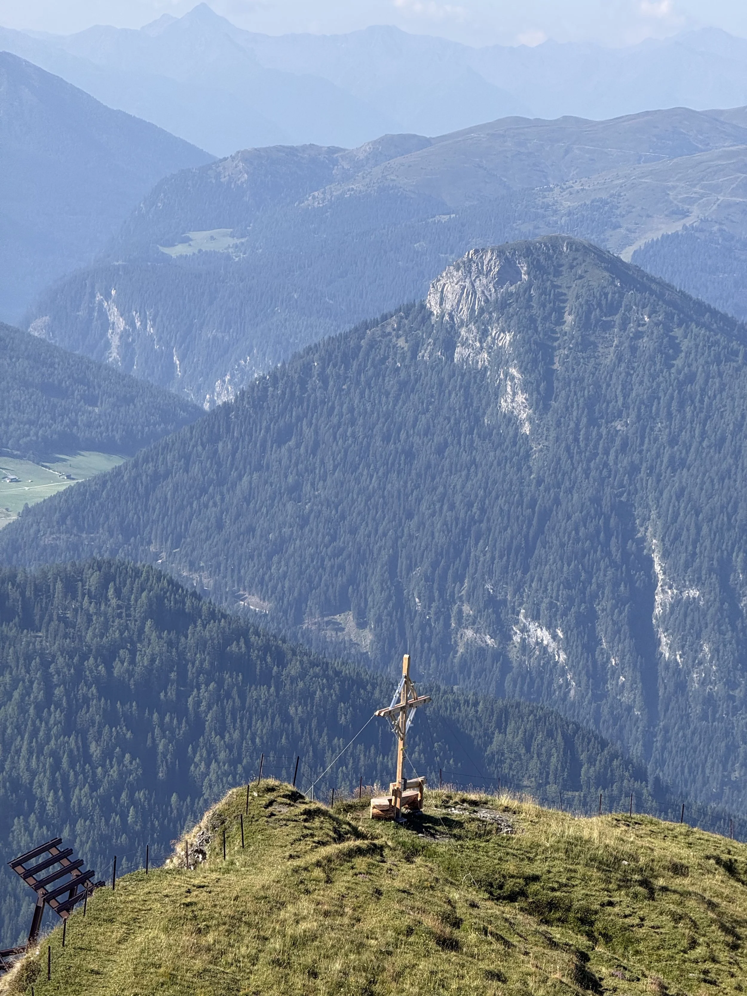
The trails here are already small, but still marked at times and pretty low risk. We descend into a saddle and a short uphill to the next summit - Sunntiger (2400m). We repeat the procedure one more time - another saddle, another uphill - before reaching the highest point of the route. First we pass the summit cross at the Schafseitenspitze Vorgipfel (2573m) - also reachable on skis - and shortly after the main summit of Schafseitenspizte (2602m).
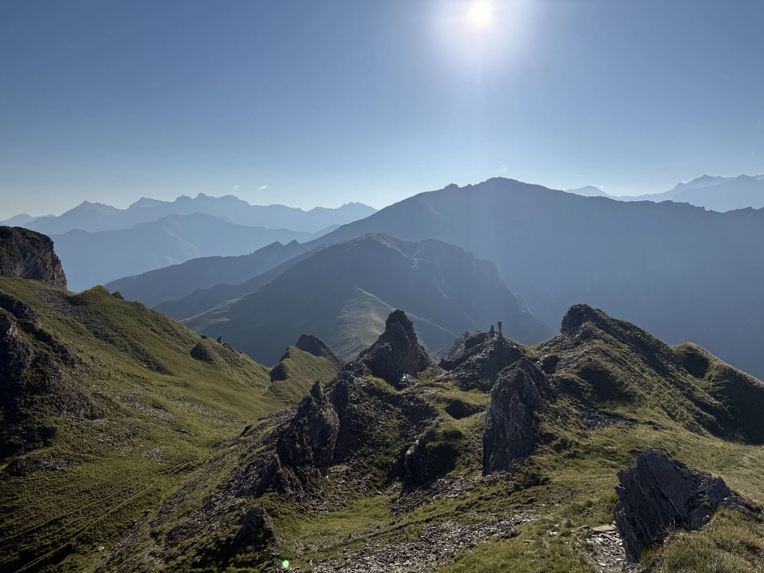
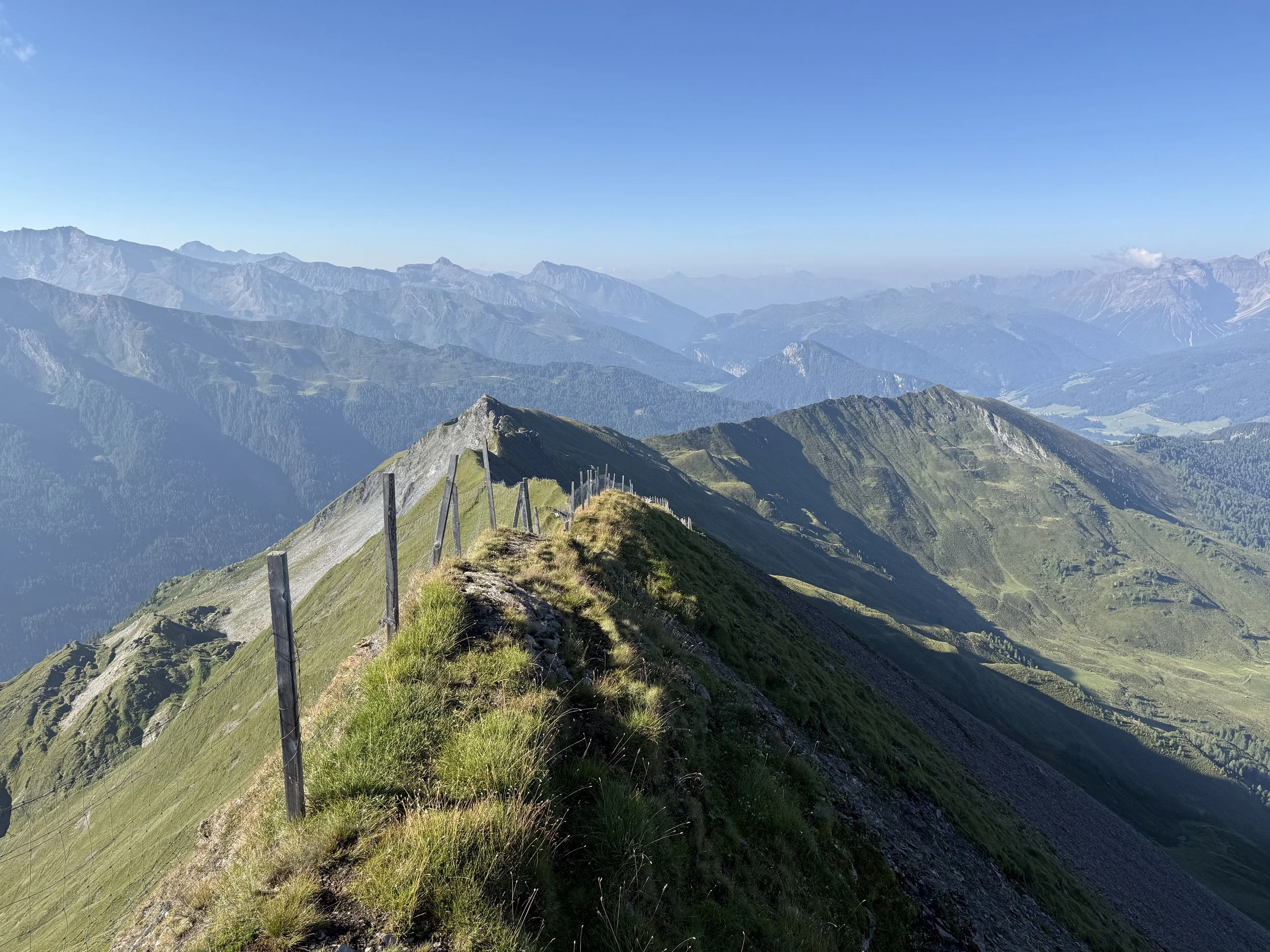
Here the trail becomes unmarked, exposed and a lot less obvious. When in doubt, follow the GPX track. We stick to the true ridge following the cattle fence. There is a faint trail on either side of the fence. It is necessary to climb over the fence back and forth a few times to stay on the nicer and safer trail. There are steep drop offs to either side with lot of lose scree, so watch your step. In a couple of places, it is necessary to leave the ridge a bit and traverse a bit lower on the west side. After a while of slow going, we get to the summit of Reißenschuh (2470m).
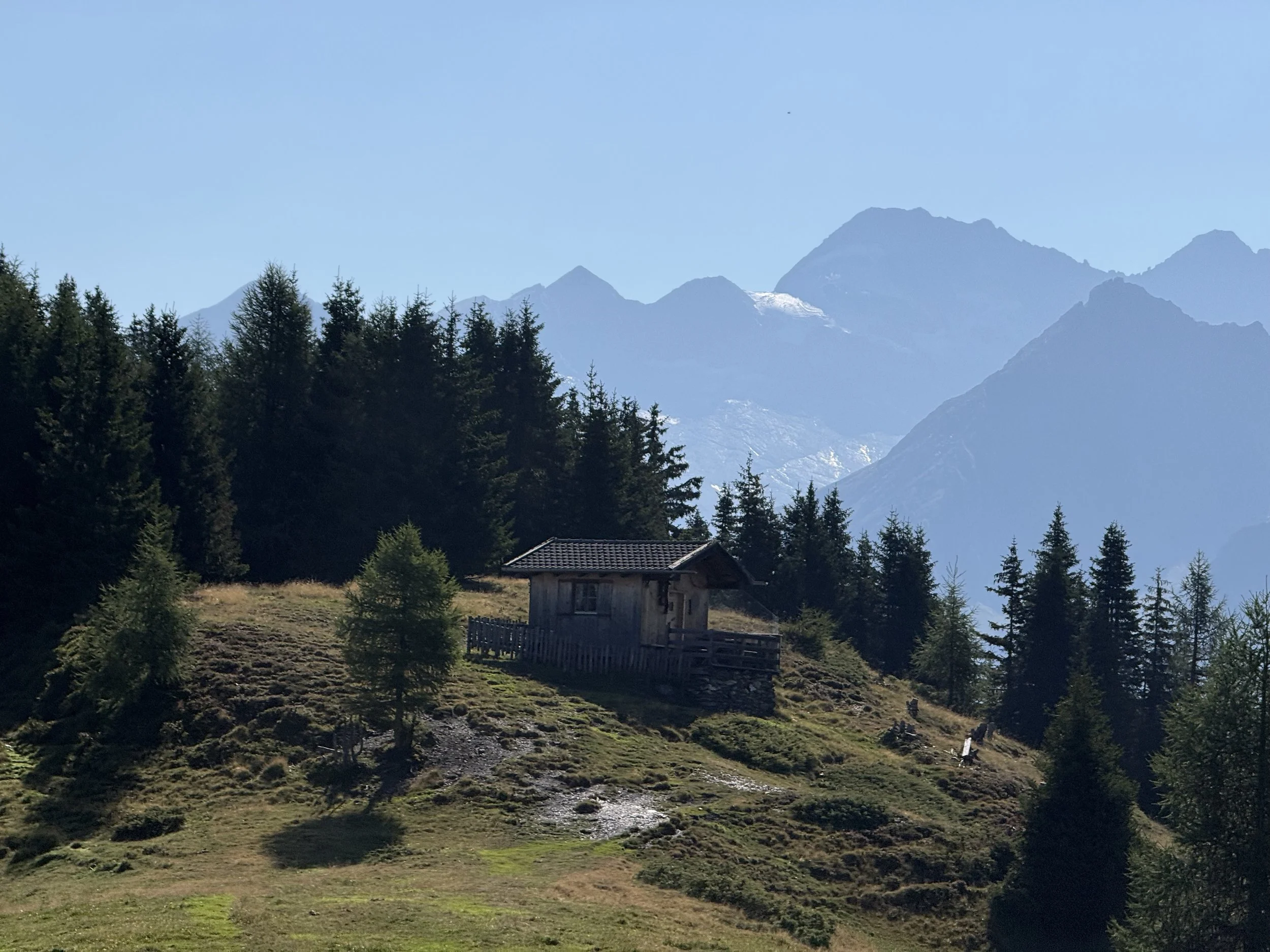
The ridge gets a bit less exposed from here, but no less technical. We continue to follow the ridge west through a really narrow trail, passing the summit of Sumpfkopf (2341m). We keep going along the ridge, passing a small hut and an increasing number of irritable cows. I recommend frequently checking against your GPS as the trail is very faint in places.
Eventually we will reach wider trails and the forest road heading back down to the valley. Here we can stick to the forest road for some easy running, or take a few shortcuts on the well marked hiking trail along the way. The parking and the village of Steinach am Brenner is not far now!
Photos by @the.running.nomad