Offenbacher Höhenweg
Technical difficulty: 8/10
Fitness: 8/10
Objective danger: 8/10
Landscape: 10/10
Busy: 2/10
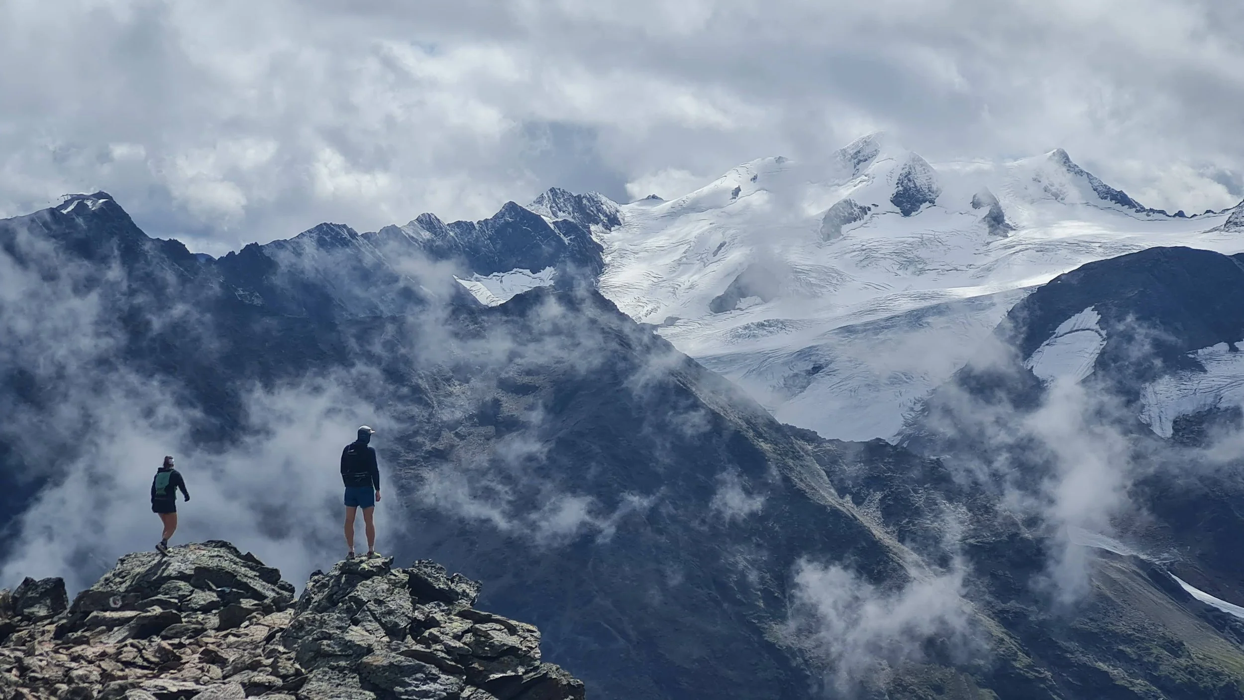
A technical high trail above Pitztal with amazing views over the glaciers of Wildspitze.
Starting point: Mandarfen
Ending point: Mandarfen
Length: 25km
Vertical: 1700m
Speed: first and last quarter really runnable. The middle half is very technical.
Route:
Start off from the parking lot at the Riffleseebahn and head up the steep trail under the cable car, following the signs towards Rifflsee. The trail climbs very steeply, it eventually leaves the forest and climbs towards the visible top station at Sunnalm.
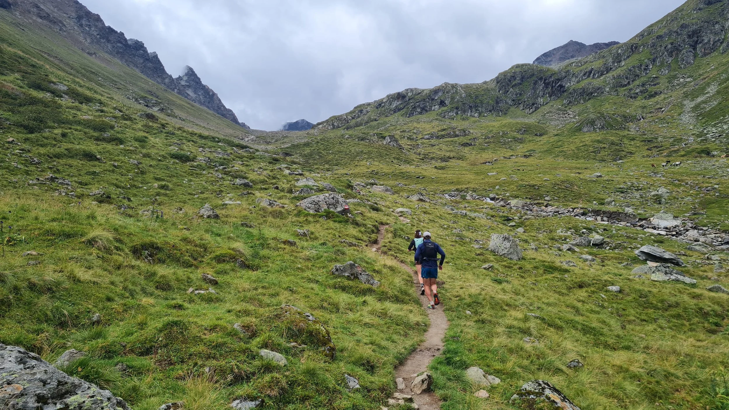
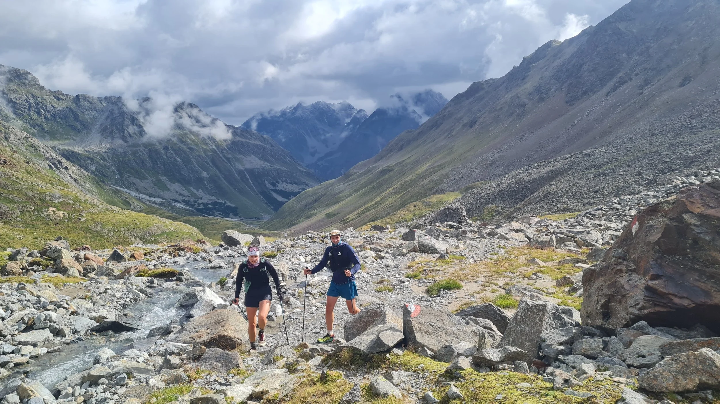
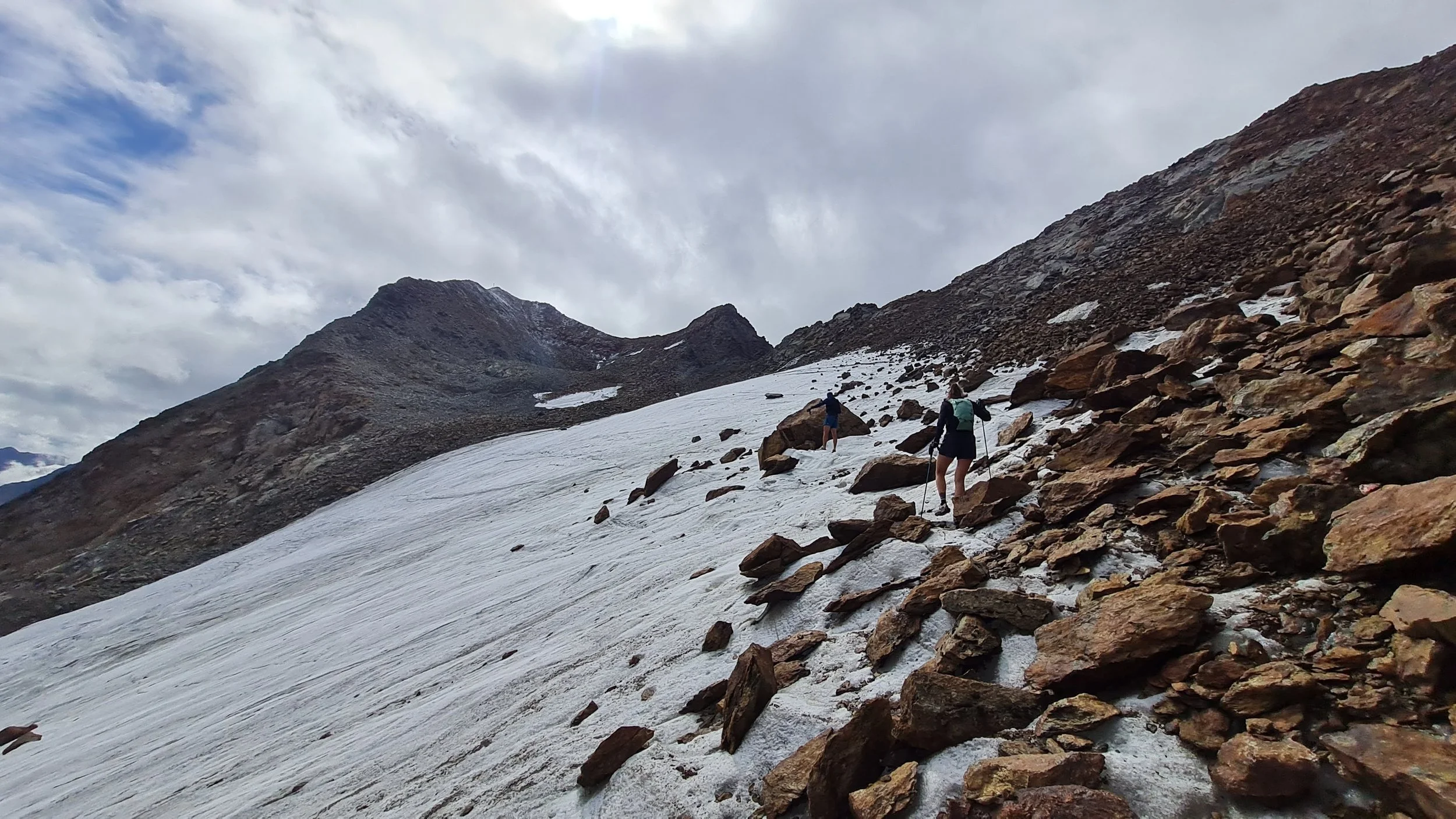
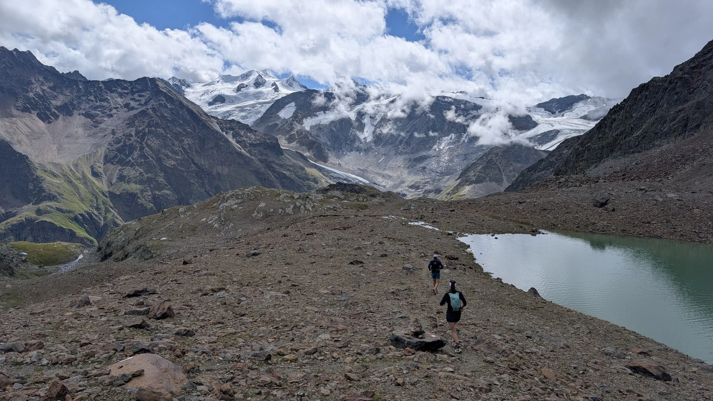
The high trail traverse starts here. We first start following the north side of the lake all the way to the west side. After the lake, the trail continues south-west through the valley, gently climbing up all the way to the end. The trail veers off to the right side of the valley and climb towards the Riffle glacier. Approach the glacier from the right side and follow the GPS to find the best way through. Wear microspikes! Falling while crossing the glacier would be very unpleasant.
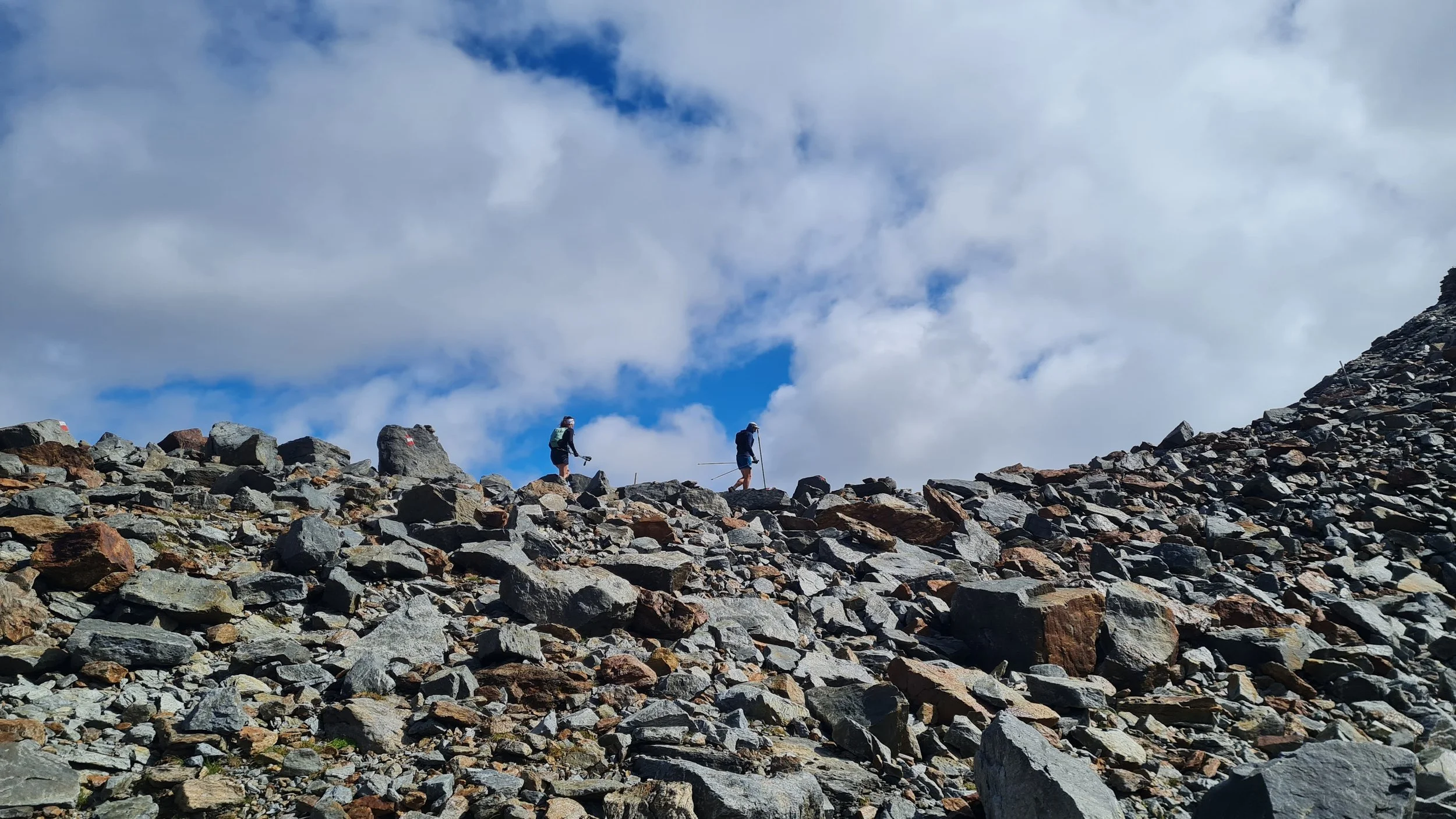
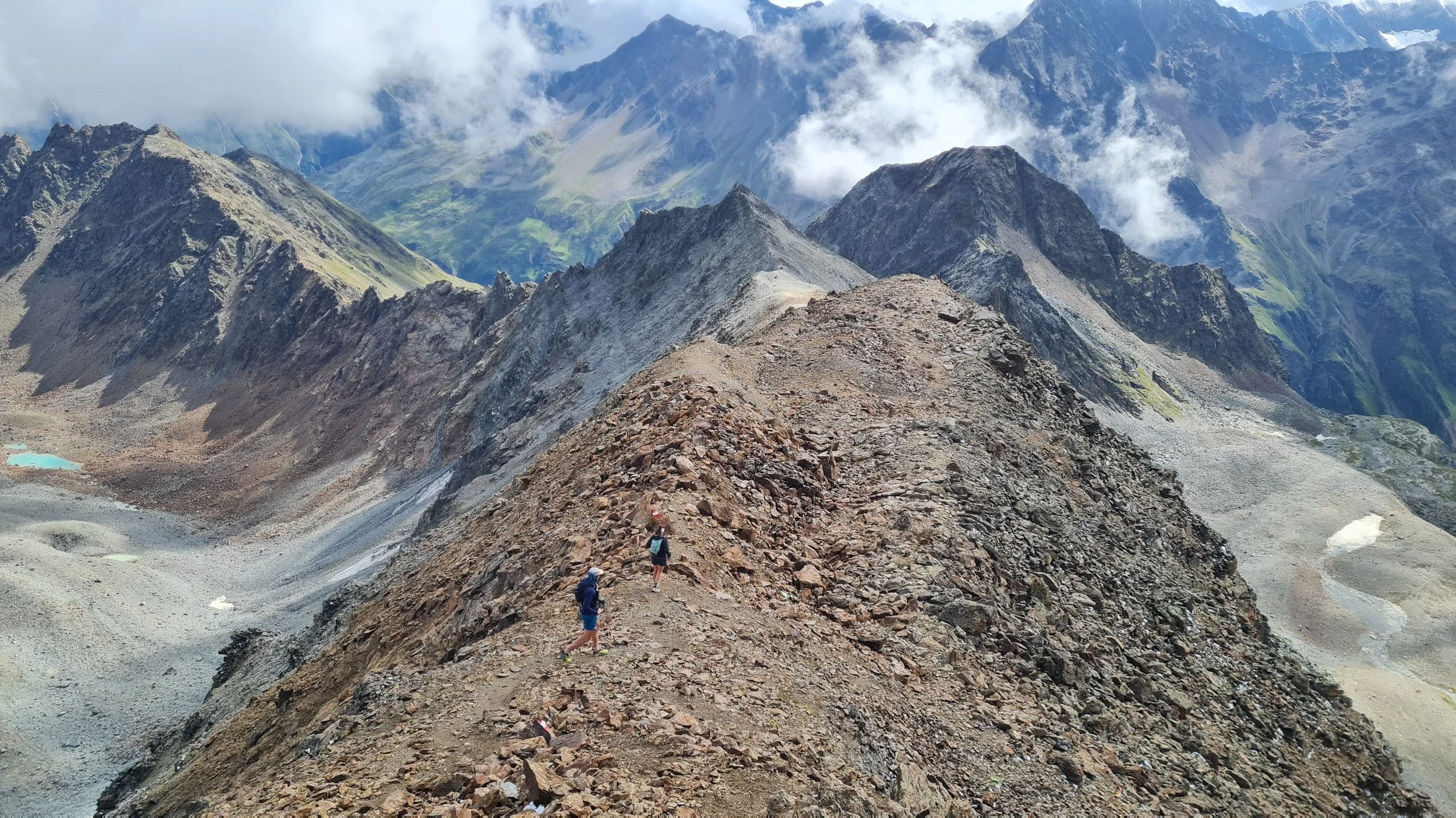
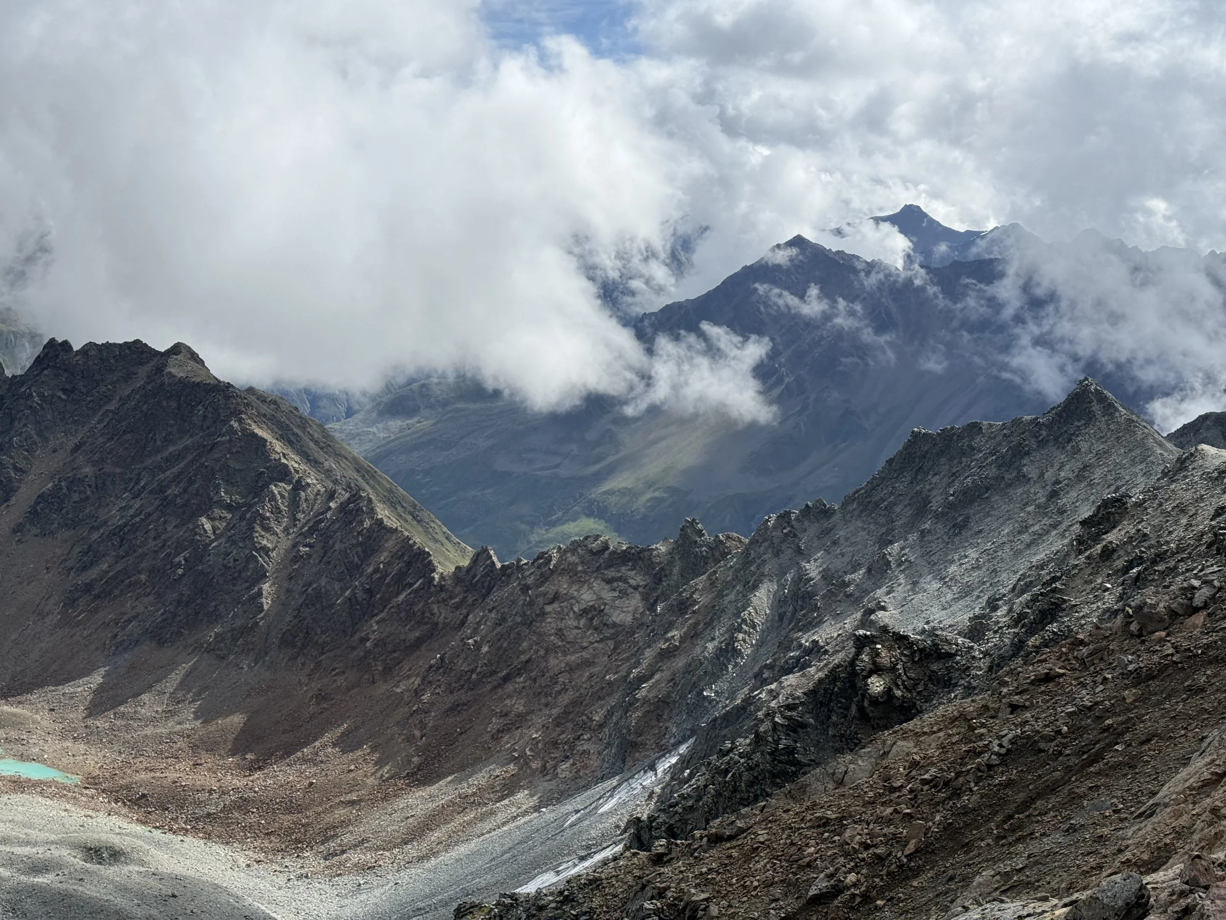
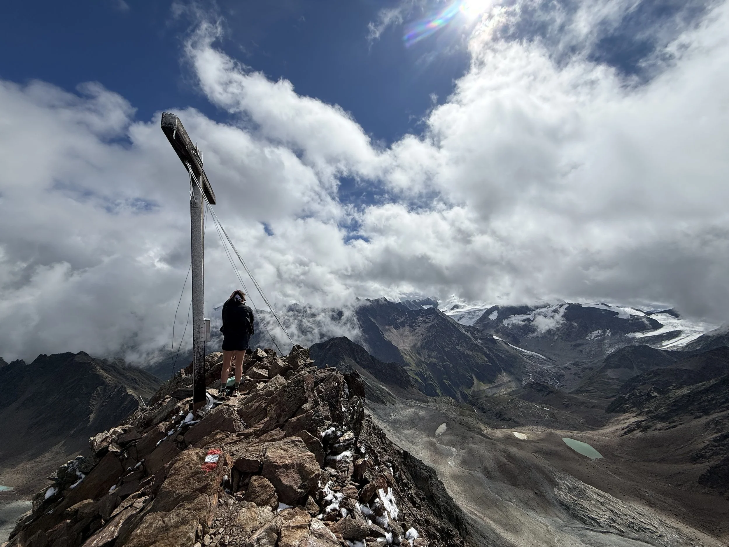
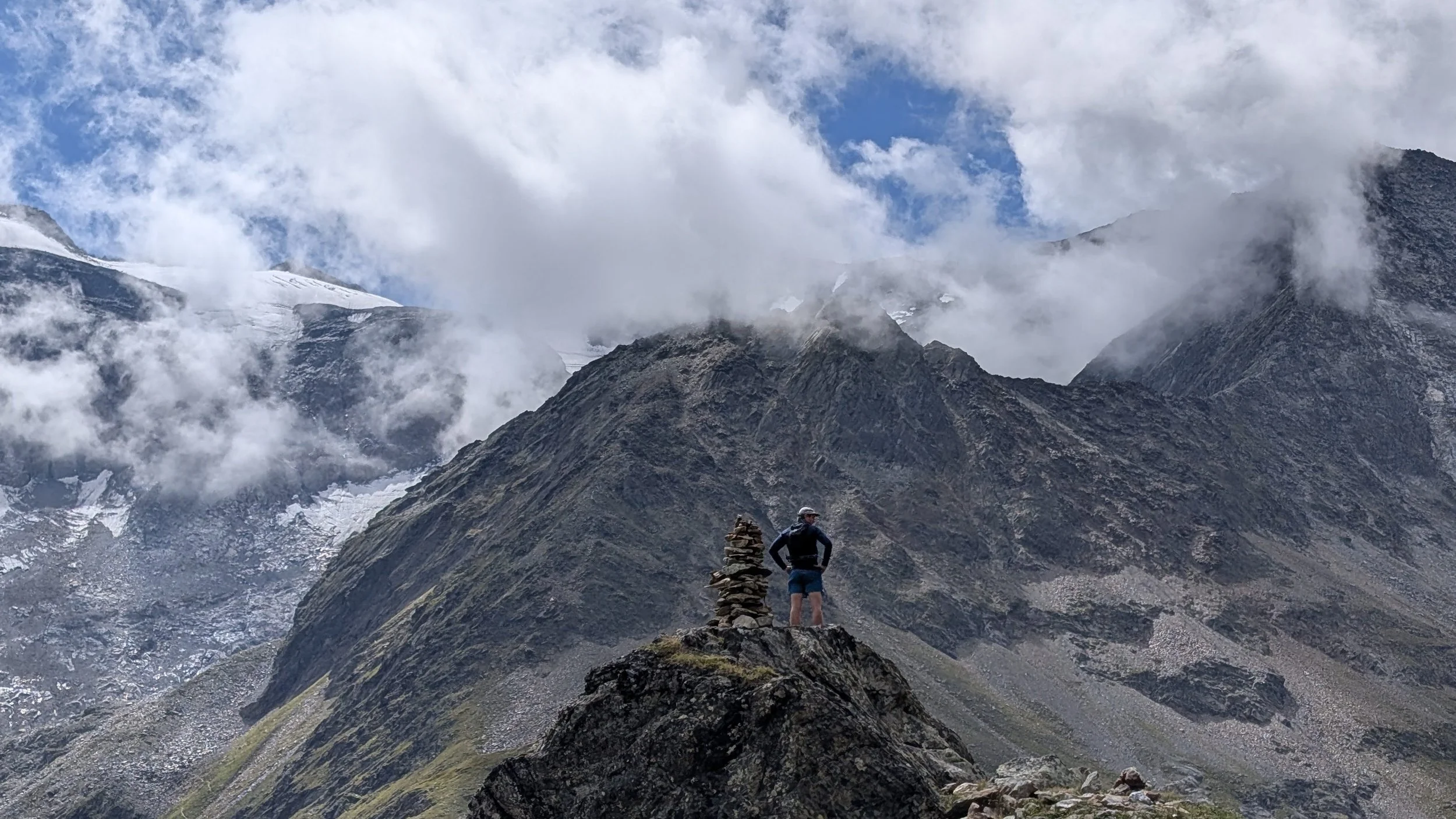
After passing the glacier, the well marked trail is visible again, leading us into the west ridge on the way to the summit. There are some scrambling sections and the ridge feels a bit exposed at times. After a short time, we reach the summit of Wurmtalerkopf (3228m). Enjoy the the views of the huge glaciers to the south.
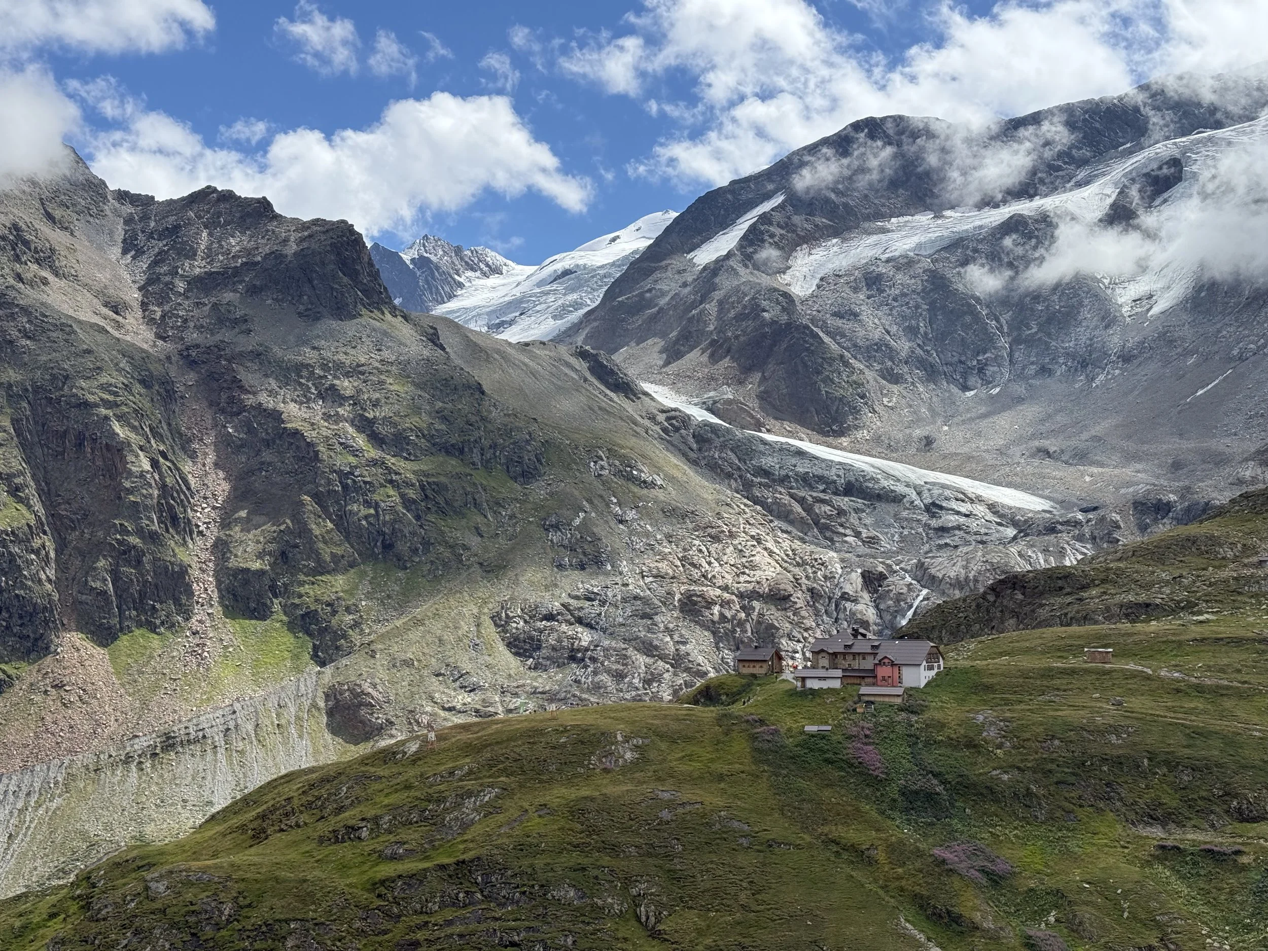
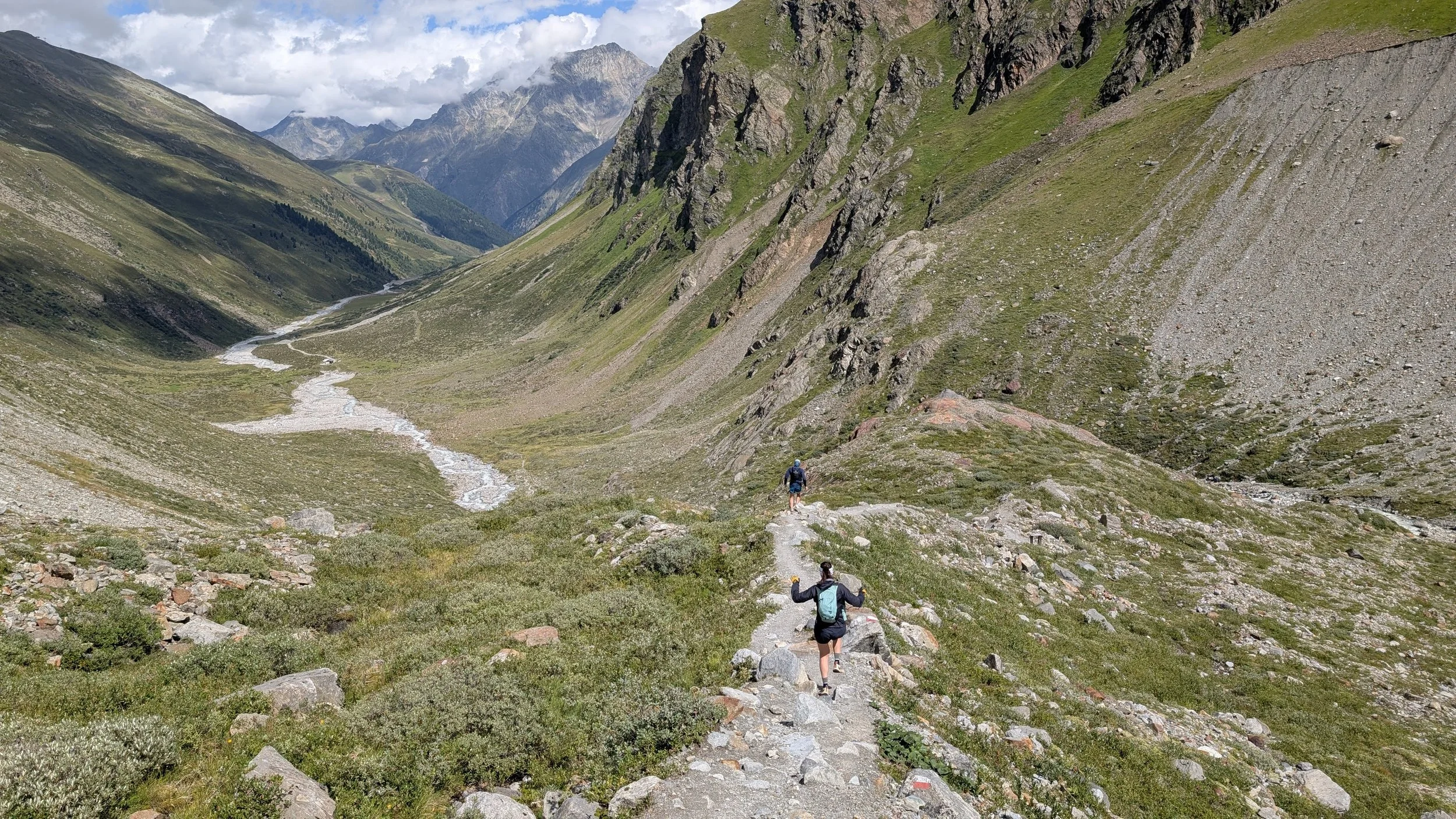
We continue east along the ridge downhill, starting our descent. One we reach a saddle on the ridge, we turn south and follow a well-marked trail steep down through zig-zags into a wide valley. We are heading towards the Taschachhaus in the distance all the way down in the valley. The valley is long, but navigation is easy and in not time we are at the hut. A great place to stop for a food or drink before continuing our descent.
The trail turns north and follows the valley out back towards Mandarfen. We first follow down the steep trail into a glacier moraine. The trail eventually flattens out before connecting to a forest road at the supply cable car at the valley floor. From here, we follow the forest road through the valley for about 6km until we are back the the village.
Photos by @the.running.nomad, @bennibru and @sontschi2604